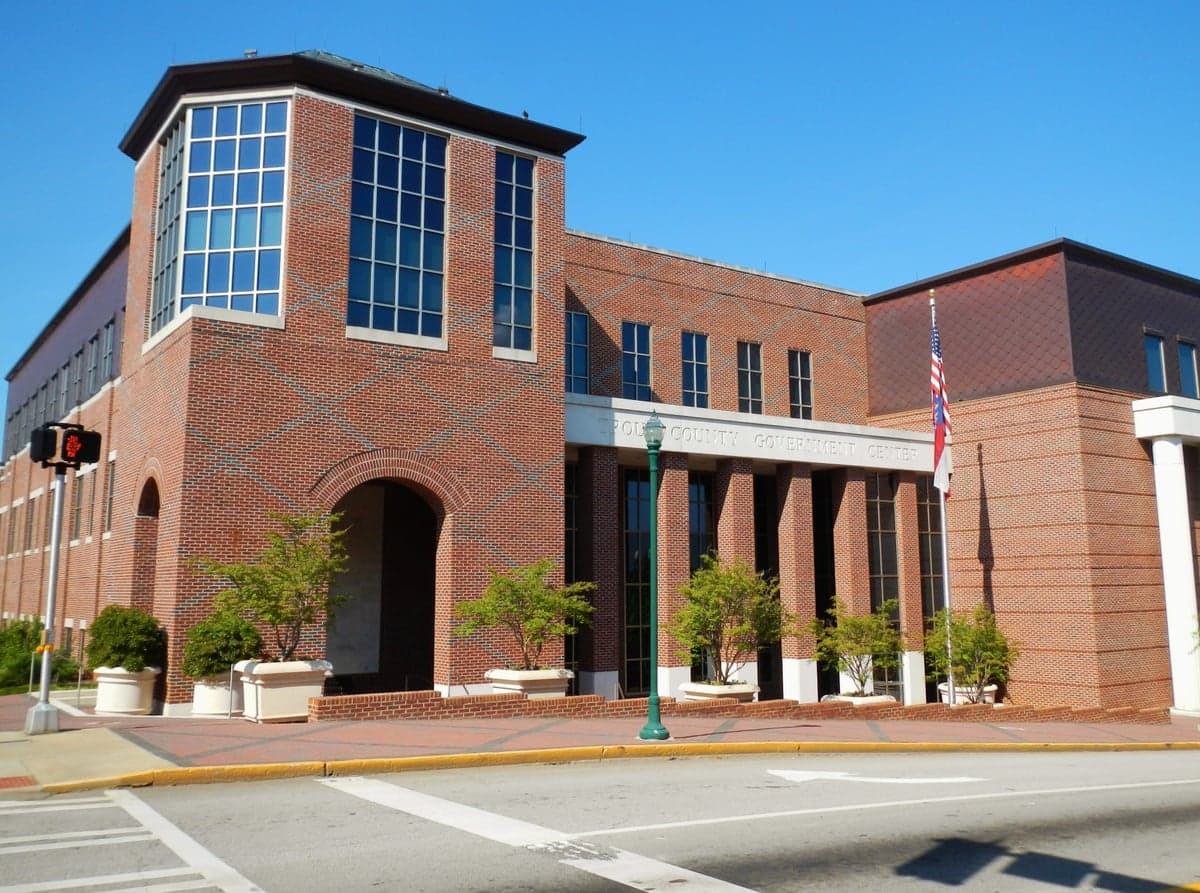
Photo: Wikipedia
Strategic Assessment of Troup County
Workable tactical position. Some exposure to population density or targets, but generally defensible in a crisis.
What does the Strategic Assessment tell us?
Our Strategic Assessment grades tactical survivability of an area. Major population centers, military targets, fallout zones, natural disasters, and border exposure all drive risk — lower exposure means a more defensible position in a crisis.
This is heavily inspired by Joel Skousen's Strategic Relocation book. Highly recommended you checkout the book ($)What does this tell us?
Our Strategic Assessment grades tactical survivability of an area. Major population centers, military targets, fallout zones, natural disasters, and border exposure all drive risk — lower exposure means a more defensible position in a crisis.
This is heavily inspired by Joel Skousen's Strategic Relocation book. Highly recommended you checkout the book ($)Strategic Pillars

Key Distances
Strategic Assessment Analysis
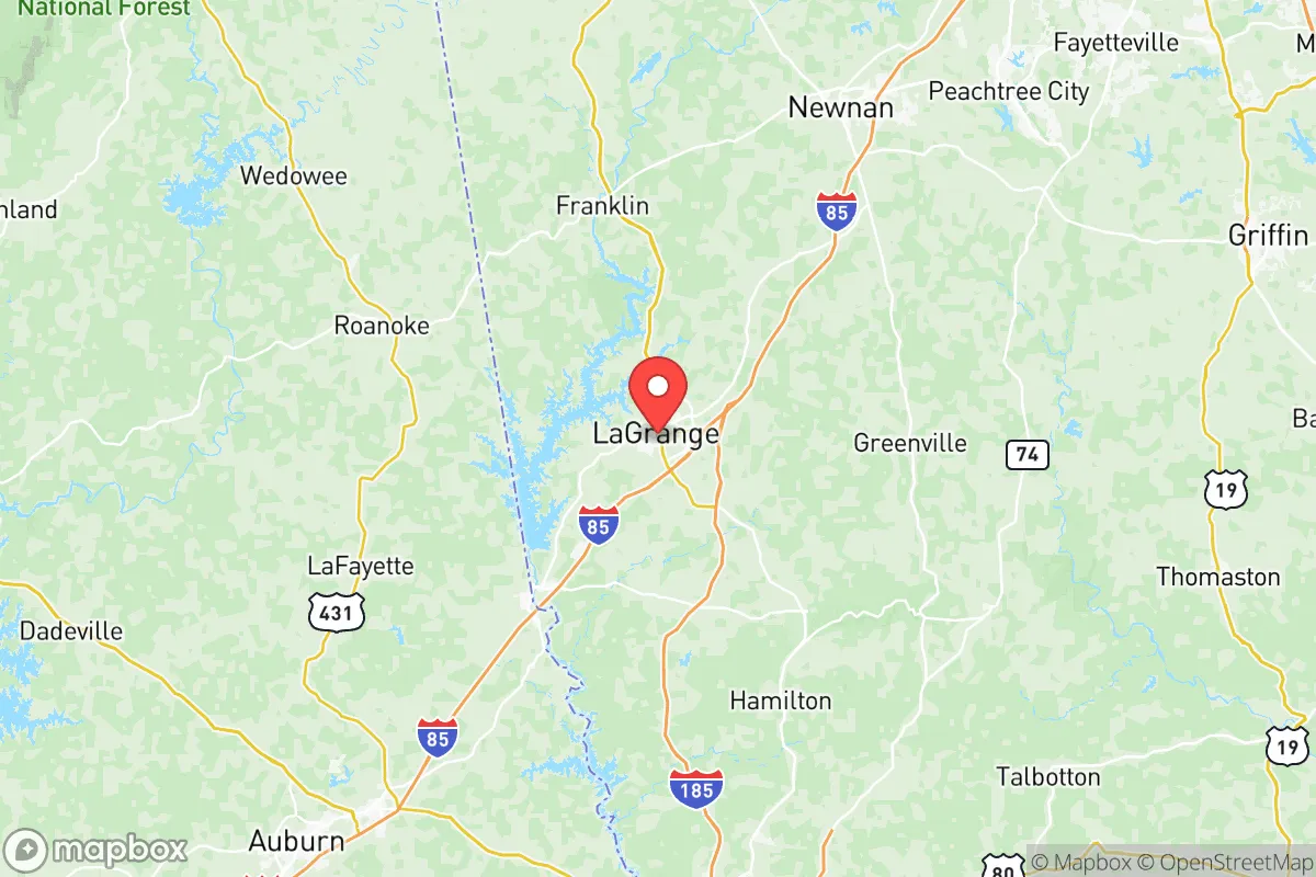
Troup County, Georgia, offers a strategic balance of accessibility and buffer, positioning it as a noteworthy option for those prioritizing resilience and self-sufficiency. Anchored by the city of LaGrange, the county sits roughly 70 miles southwest of Atlanta and 40 miles north of Columbus, placing it within a day’s drive of major Southeastern hubs while maintaining a distinctly rural character. Its location along the I-85 corridor provides practical connectivity for supply runs or medical access, yet the county’s low population density—around 70,000 residents spread across 446 square miles—reduces the risks associated with dense urban centers. For a relocator weighing disaster readiness, Troup County’s mix of industrial infrastructure, agricultural land, and modest remoteness creates a foundation worth examining.
Geographic position and natural advantages for long-term stability
Troup County sits on the fall line where the Piedmont region meets the Coastal Plain, a transition zone that offers both elevation and access to water. The county’s terrain is gently rolling, with elevations ranging from 600 to 900 feet above sea level, which provides natural drainage and reduces flood risk compared to flatter areas downstream. The Chattahoochee River forms the county’s western border, supplying a reliable surface water source via West Point Lake, a 25,000-acre reservoir managed by the U.S. Army Corps of Engineers. This lake, along with the river, supports municipal water for LaGrange and the smaller communities of Hogansville and West Point. The county’s position also places it outside the direct hurricane track that affects coastal Georgia, while its inland location minimizes tornado frequency relative to the Deep South’s more volatile zones. For a resident focused on self-sufficiency, the combination of accessible water, moderate elevation, and distance from coastal storm surge offers a tangible advantage over many Georgia counties closer to the Gulf or Atlantic.
Risk exposure and proximity to fallout-relevant landmarks
No location is without vulnerabilities, and Troup County’s proximity to certain infrastructure warrants attention. The county lies roughly 60 miles northeast of Fort Moore (formerly Fort Benning), a major Army base that could become a target in a conflict scenario. Additionally, the I-85 corridor itself is a high-value transportation artery, with the Kia Motors manufacturing plant in West Point and several automotive suppliers operating within the county. These industrial sites, while economically beneficial, represent potential secondary targets or points of disruption during a crisis. On the natural hazard side, the region experiences occasional ice storms and severe thunderstorms, with power outages lasting 24 to 72 hours not uncommon during winter events. The county’s reliance on the Chattahoochee River for water also means that upstream contamination—whether accidental or intentional—could affect supply, though West Point Lake provides a buffer of stored volume. Compared to areas near Atlanta’s Hartsfield-Jackson airport or the Port of Savannah, Troup County’s risk profile is moderate, but the presence of military and industrial assets within a 60-mile radius means a relocator should plan for potential secondary effects rather than assume complete isolation.
Practical resilience for a relocator: food, water, energy, and defensibility
For someone serious about self-sufficiency, Troup County offers a workable baseline. The county’s agricultural sector includes row crops like cotton and soybeans, as well as livestock operations, and the local extension office through the University of Georgia provides resources for small-scale farming. Soil quality varies, with the Piedmont’s clay-loam requiring amendment for intensive gardening, but experienced growers can produce year-round with season extension techniques. Water access is a strong point: in addition to West Point Lake, many rural properties have creeks or ponds, and well drilling is common outside city limits. The county’s energy grid is served by Georgia Power, with natural gas and electric lines running along the I-85 corridor, but rural areas experience longer restoration times during outages—a factor that pushes prepared residents toward solar or generator backup. Defensibility is mixed: the county’s road network includes numerous rural routes and dead-end roads that could be monitored or blocked, but the open terrain and proximity to major highways also mean that a determined group could approach from multiple directions. The LaGrange Police Department and Troup County Sheriff’s Office maintain a visible presence, with response times in rural areas typically ranging from 10 to 20 minutes. For a family or individual, the practical takeaway is that Troup County provides the raw materials for resilience—water, land, and distance from primary targets—but requires active preparation in energy storage, food production, and security planning to realize its potential.
Overall, Troup County presents a credible option for the relocator who values strategic depth over total isolation. It is not a remote wilderness—the I-85 corridor ensures regular traffic and commercial activity—but its position between Atlanta and Columbus offers a buffer that many closer-in counties lack. The presence of West Point Lake and the Chattahoochee River addresses the most critical survival need, while the county’s agricultural base and moderate climate support long-term food production. The risks are real but manageable: industrial and military targets within an hour’s drive require awareness rather than alarm, and the natural hazard profile is less severe than coastal or tornado-prone regions. For a conservative-leaning audience weighing relocation, Troup County balances accessibility with a degree of separation that makes it worth a serious look, provided the relocator comes prepared to invest in the infrastructure that turns a good location into a resilient home.

* Values derived from national, state, county, city and local statistics and may differ in a specific area. Last updated: 2026-07-03T14:54:38.000Z
Narrative content on this page is AI-generated and may contain mistakes. Verify any details that matter before acting on them.
ReloMaps may earn a commission from affiliate links at no extra cost to you.

