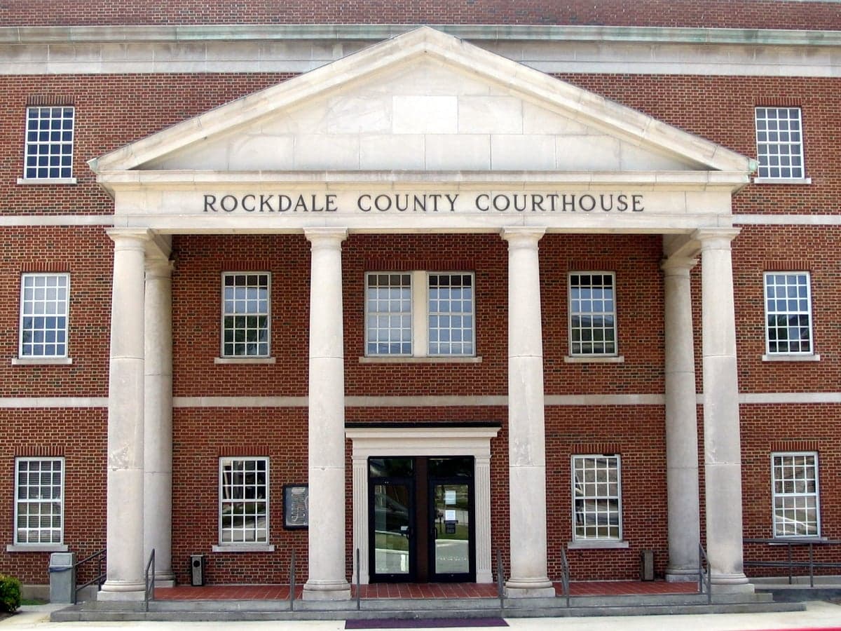
Photo: Wikipedia
Demographics of Rockdale County
Affluence Level in Rockdale County
A middle-class area roughly in line with national averages across income, home values, education, and employment.
People of Rockdale County
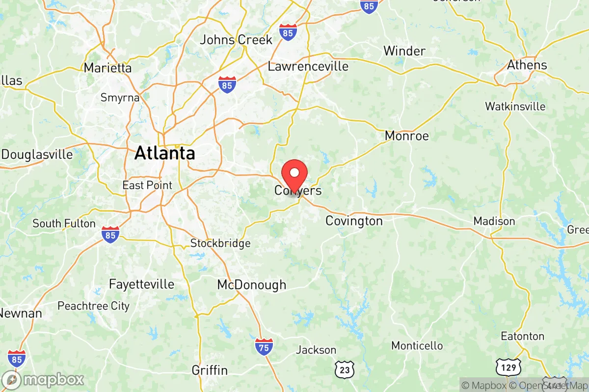
Rockdale County, Georgia, is a predominantly Black-majority suburban county of 94,293 residents, where African American identity is deeply woven into the fabric of local politics, culture, and community life. The county’s population is 57.1% Black, 25.4% White, 10.6% Hispanic, and 1.3% East/Southeast Asian, with a foreign-born share of just 4.6% — well below the national average. Located east of Atlanta along the I-20 corridor, Rockdale is a place of established Black middle-class suburbs, historic crossroads communities, and a growing Hispanic presence, all set against a backdrop of rapid exurban development. Its residents are a mix of multi-generational families who trace roots to the post-Reconstruction era and newer arrivals drawn by affordable housing and proximity to Atlanta’s job market.
Settlement & growth (pre-1960)
Before European settlement, the area that became Rockdale County was part of the ancestral homeland of the Creek (Muscogee) Nation, with the Cherokee Nation holding territory to the north. The region was sparsely populated by Creek villages and hunting grounds until the 1820s, when the state of Georgia began pressuring Indigenous nations to cede land through treaties and forced removal. By the 1830s, the Creeks and Cherokees had been largely expelled via the Trail of Tears, opening the area to white settlement.
The first wave of European-American settlers arrived in the 1830s and 1840s, primarily Scots-Irish and English yeoman farmers from the Piedmont regions of Virginia and the Carolinas. They established small agricultural communities centered on cotton and subsistence farming. Key early settlements included Conyers (the county seat, founded 1854), Milstead (a mill village along the Yellow River), and Honey Creek (a rural crossroads). The Georgia Railroad reached Conyers in 1845, transforming it into a shipping point for cotton and timber. Rockdale County was carved from Newton and Henry counties in 1870, named after the rocky stream beds of the area.
After the Civil War and Reconstruction, the county’s population shifted dramatically. Freed African Americans, who had been enslaved on cotton plantations in the area, remained in Rockdale as sharecroppers and tenant farmers. They established their own communities, including Lorraine (a historic Black settlement near Conyers) and Magnet (a small farming hamlet). By 1900, Black residents made up roughly 45% of the county’s population, a share that would grow over the 20th century as white families left for Atlanta’s suburbs. The early 1900s saw little new immigration; Rockdale remained a rural, agricultural county with a biracial population of Black and white Southerners. The Great Migration (1910–1970) pulled some Black residents north to industrial cities, but many stayed, maintaining deep roots in the county’s land and churches.
World War II and the post-war boom brought the first hints of suburbanization. The construction of Interstate 20 in the 1960s made Conyers a commuter town for Atlanta, and white families began moving east from DeKalb County. However, through 1960, Rockdale remained overwhelmingly rural and agricultural, with a population of just 10,572.
Modern era (post-1965)
The 1965 Hart-Cellar Act had little direct impact on Rockdale County, as the county’s foreign-born population remains low at 4.6%. Instead, the major demographic force after 1965 was domestic migration — specifically, the movement of Black families from Atlanta’s inner-city neighborhoods and from other parts of the South into Rockdale’s developing suburbs. This was part of a broader pattern of Black suburbanization across metro Atlanta, driven by the construction of new housing developments, the expansion of I-20, and the desire for better schools and lower crime rates.
By the 1980s and 1990s, Conyers and the unincorporated areas around Salem Road and Sigman Road saw rapid growth of Black middle-class subdivisions. The county’s Black population rose from roughly 30% in 1980 to over 50% by 2000, a shift that accelerated as white families moved farther east to Newton and Walton counties. Today, Black residents make up 57.1% of the population, and the county is a stronghold of Black political power, with a Black majority on the county commission and school board.
The Hispanic population, while still a minority at 10.6%, has grown steadily since the 1990s, driven by immigration from Mexico and Central America and by domestic migration from other parts of Georgia. Hispanic residents are concentrated in Conyers, particularly around the Old Covington Highway corridor, where a cluster of Mexican grocery stores, taquerias, and bodegas serves the community. Many work in construction, landscaping, and the logistics sector along I-20. The East/Southeast Asian population (1.3%) is small but visible in Conyers, with a handful of Vietnamese and Korean families drawn by affordable housing and proximity to Atlanta’s Asian business hubs in Gwinnett County. The Indian-subcontinent population (0.5%) is even smaller, with no distinct enclave.
Suburbanization has reshaped the county’s geography. The historic downtown of Conyers has been revitalized with a mix of local shops and county government offices, while the I-20 corridor is lined with big-box retail, chain restaurants, and new apartment complexes. The Lakeview Estates and Fieldstone subdivisions are typical of the post-2000 development pattern: large, single-family homes on cul-de-sacs, occupied by Black and white families with children in the Rockdale County Public Schools.
The future
Rockdale County is likely to become more diverse in the coming decades, though the pace of change will be slower than in neighboring Gwinnett or DeKalb counties. The Hispanic share is projected to grow to 15–18% by 2040, driven by continued immigration and higher birth rates. The Black population will remain the majority, but its share may decline slightly as more white and Asian families move in from pricier Atlanta suburbs. The East/Southeast Asian population is expected to grow modestly, as Conyers becomes a more affordable alternative to Duluth and Johns Creek.
The county’s cultural identity is evolving from a historically Black rural-suburban community into a more multiethnic exurb. New developments are concentrating along the I-20 corridor, particularly around the GA-138 interchange, where a mix of townhomes and apartments is attracting younger, more diverse residents. The county’s political character — reliably Democratic, with strong Black civic engagement — is unlikely to shift dramatically, though the growing Hispanic electorate may push for more representation in local government. For someone moving in now, Rockdale offers a stable, family-oriented environment with a strong sense of Black community history, affordable housing compared to Atlanta proper, and a slowly diversifying population that is still overwhelmingly native-born.
Rockdale County is becoming a more diverse, still predominantly Black suburb of Atlanta, where the legacy of post-Reconstruction Black settlement meets the realities of 21st-century exurban growth. For a family or individual seeking an affordable, community-oriented place with deep roots and a clear demographic identity, it offers a stable base with room for change.

* Values derived from national, state, county, city and local statistics and may differ in a specific area. Last updated: 2026-10-23T21:54:58.000Z
Narrative content on this page is AI-generated and may contain mistakes. Verify any details that matter before acting on them.
ReloMaps may earn a commission from affiliate links at no extra cost to you.

