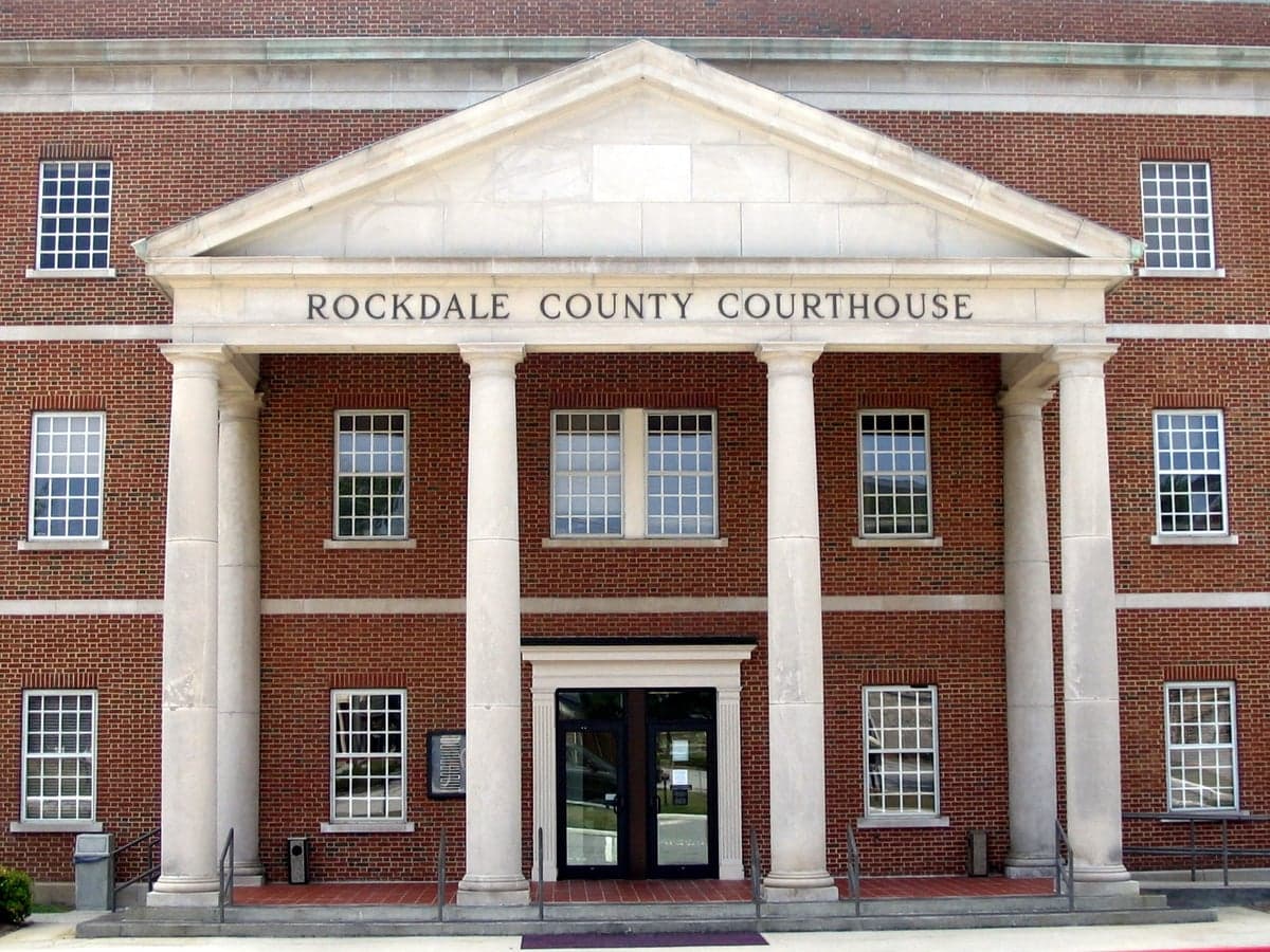
Photo: Wikipedia
Strategic Assessment of Rockdale County
Meaningful friction. Expect exposure to either population pressure, blast zones, or natural disaster risk. Consider buying a retreat property.
What does the Strategic Assessment tell us?
Our Strategic Assessment grades tactical survivability of an area. Major population centers, military targets, fallout zones, natural disasters, and border exposure all drive risk — lower exposure means a more defensible position in a crisis.
This is heavily inspired by Joel Skousen's Strategic Relocation book. Highly recommended you checkout the book ($)What does this tell us?
Our Strategic Assessment grades tactical survivability of an area. Major population centers, military targets, fallout zones, natural disasters, and border exposure all drive risk — lower exposure means a more defensible position in a crisis.
This is heavily inspired by Joel Skousen's Strategic Relocation book. Highly recommended you checkout the book ($)Strategic Pillars

Key Distances
Strategic Assessment Analysis
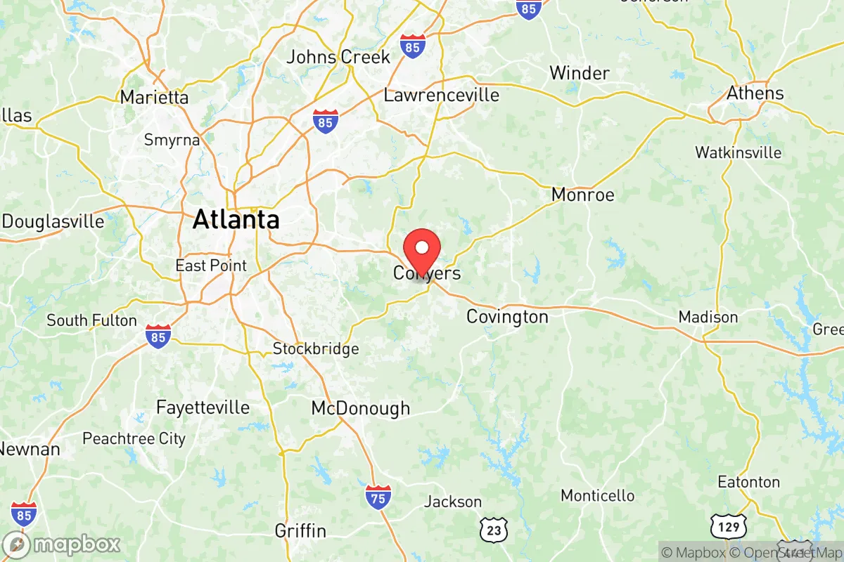
Rockdale County, Georgia, offers a strategic balance of proximity to Atlanta’s economic engine and a semi-rural buffer that appeals to relocation-minded individuals and families prioritizing resilience and self-sufficiency. Located roughly 25 miles east of downtown Atlanta along the I-20 corridor, the county leverages its position between the metropolitan core and the less-developed Piedmont region, providing access to urban resources while maintaining a lower population density and a more defensible geography. For a reader assessing disaster readiness, Rockdale’s combination of modest elevation, established water infrastructure, and distance from high-risk coastal zones makes it a noteworthy candidate for a base of operations, though its proximity to Atlanta introduces specific vulnerabilities that require careful consideration.
Geographic position and natural advantages for self-sufficiency
Rockdale County sits in the Georgia Piedmont, a region characterized by rolling hills, clay soils, and hardwood forests, which offers several natural advantages for long-term resilience. The county’s average elevation of roughly 900 feet above sea level places it well above flood-prone coastal areas and reduces exposure to storm surge or hurricane-driven flooding—a significant consideration for those looking to avoid the Gulf and Atlantic coasts. The South River and Big Haynes Creek flow through the county, feeding into the Lake Jackson and Lake Varner reservoirs, which serve as primary water sources for the region. These water bodies, combined with the county’s position within the Ocmulgee River watershed, provide a reliable surface water supply that is less susceptible to drought than deeper wells in other parts of Georgia. The local climate supports year-round growing seasons, with an average of 220 frost-free days, enabling extended food production for those pursuing self-sufficiency. The county’s forested areas, particularly around Panola Mountain State Park and the Yellow River Wildlife Management Area, offer natural cover and resources for hunting, foraging, and timber, though these are public lands with access restrictions. For a relocator, the key geographic advantage is the ability to tap into a decentralized water supply and arable land while remaining within a two-hour drive of major logistical hubs like the Port of Savannah and Hartsfield-Jackson Atlanta International Airport, which could be critical for resupply in a crisis.
Risks, exposures, and proximity to fallout-relevant landmarks
Rockdale County’s primary risk exposure stems from its proximity to Atlanta, a major metropolitan area with a population exceeding 6 million in the broader metro region. In a scenario involving a large-scale disaster—whether natural, economic, or geopolitical—Atlanta’s concentration of critical infrastructure, including the Centers for Disease Control and Prevention (CDC), Fort Gillem (a U.S. Army installation), and Hartsfield-Jackson as the world’s busiest airport, makes it a potential target for disruption or fallout. The county lies within 30 miles of Fort Gillem, a logistics and communications hub that could become a focal point for military activity or civil unrest during a crisis. Additionally, the I-20 corridor running through Rockdale connects directly to Atlanta’s urban core, meaning that any large-scale evacuation or supply chain disruption in the city would funnel traffic and potential security risks through the county. While Rockdale itself lacks major industrial targets like refineries or nuclear plants—the nearest nuclear facility is Plant Vogtle in Waynesboro, over 150 miles away—the county’s position along a major interstate and rail line (the Norfolk Southern mainline) makes it a chokepoint for movement. Natural disaster risks are moderate: the area is not prone to earthquakes, and tornado activity is below the regional average, but severe thunderstorms and occasional ice storms can disrupt power and transportation. For a relocator, the key takeaway is that Rockdale offers a buffer from Atlanta’s immediate fallout zone but remains within a radius that could see secondary effects from urban collapse, including refugee flows and resource competition.
Practical resilience for a relocator: food, water, energy, and defensibility
For a family or individual prioritizing self-sufficiency, Rockdale County presents a mixed picture. Water availability is a strong point: the county’s reservoirs, particularly Lake Varner (a 1,100-acre reservoir managed by the Rockdale County Water Authority), provide a treated surface water supply that serves over 90% of the population. In a grid-down scenario, private wells are an option in rural areas, though the Piedmont’s clay soils and bedrock can make drilling expensive and yields variable—typically 5 to 15 gallons per minute. Rainwater catchment is viable, with an average annual rainfall of 50 inches, but storage capacity must account for seasonal dry spells. Food production is feasible on parcels of 1 to 5 acres, with the county’s soil types (primarily Cecil and Pacolet series) supporting gardens, orchards, and small livestock, though soil amendments are often needed for optimal yields. The Conyers Farmers Market and local agricultural extension services provide resources for new growers, but the county is not a major agricultural producer—most farmland has been converted to residential or commercial use over the past two decades. Energy resilience is a concern: the county relies on Georgia Power’s grid, which is fed by a mix of natural gas, nuclear, and coal plants, with no significant local renewable generation. Solar potential is moderate, with an average of 218 sunny days per year, but homeowners’ associations and zoning restrictions in subdivisions like Lake Capri or Honey Creek may limit panel installation. Defensibility is a key advantage: the county’s layout, with Conyers as the county seat and a population of roughly 95,000, offers a mix of rural acreage and small-town clusters that are easier to secure than dense urban areas. The Rockdale County Sheriff’s Office maintains a visible presence, but in a prolonged crisis, law enforcement resources would likely be stretched thin. For a relocator, the practical strategy is to secure a property with a private well, south-facing roof for solar, and at least 5 acres of arable land, ideally in the less-developed northern or eastern parts of the county near Milstead or Almon.
Overall, Rockdale County offers a viable strategic position for those seeking a balance between urban access and rural resilience, but it is not a remote or isolated stronghold. Its strengths lie in reliable water resources, moderate climate, and a defensible geography that buffers against coastal and industrial fallout. The weaknesses are tied to its proximity to Atlanta and the I-20 corridor, which introduce risks of secondary disruption and population pressure during a crisis. For a relocator with a conservative-leaning mindset—valuing preparedness, community, and self-reliance—Rockdale provides a realistic base of operations, provided that steps are taken to secure independent water, energy, and food systems. The county’s real estate market, with median home prices around $350,000 as of 2026, offers entry points for families willing to invest in land and infrastructure. The strategic assessment is cautiously positive: Rockdale is a place to build resilience, not a bug-out location, and its value depends on how well a relocator can leverage its natural advantages while mitigating the risks of being within Atlanta’s shadow.

* Values derived from national, state, county, city and local statistics and may differ in a specific area. Last updated: 2026-10-23T21:54:58.000Z
Narrative content on this page is AI-generated and may contain mistakes. Verify any details that matter before acting on them.
ReloMaps may earn a commission from affiliate links at no extra cost to you.

