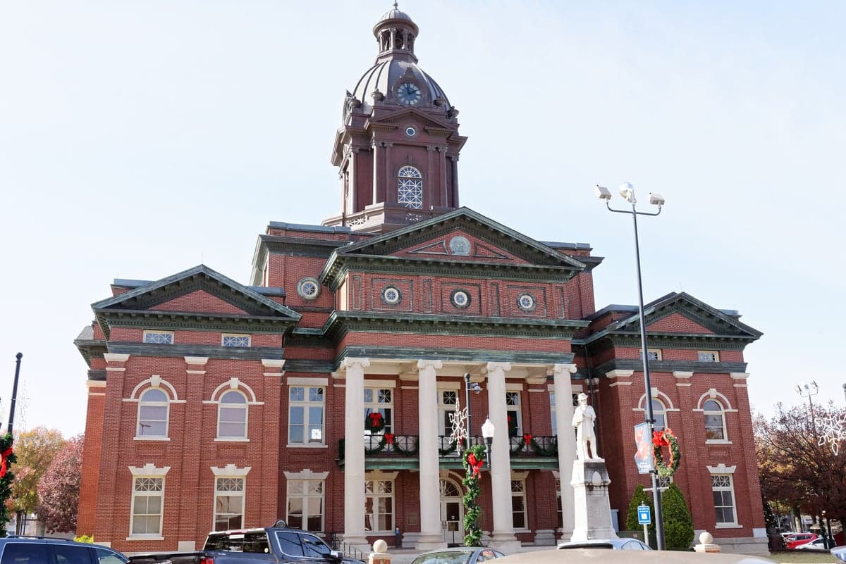
Photo: Wikipedia
Strategic Assessment of Coweta County
Workable tactical position. Some exposure to population density or targets, but generally defensible in a crisis.
What does the Strategic Assessment tell us?
Our Strategic Assessment grades tactical survivability of an area. Major population centers, military targets, fallout zones, natural disasters, and border exposure all drive risk — lower exposure means a more defensible position in a crisis.
This is heavily inspired by Joel Skousen's Strategic Relocation book. Highly recommended you checkout the book ($)What does this tell us?
Our Strategic Assessment grades tactical survivability of an area. Major population centers, military targets, fallout zones, natural disasters, and border exposure all drive risk — lower exposure means a more defensible position in a crisis.
This is heavily inspired by Joel Skousen's Strategic Relocation book. Highly recommended you checkout the book ($)Strategic Pillars

Key Distances
Strategic Assessment Analysis
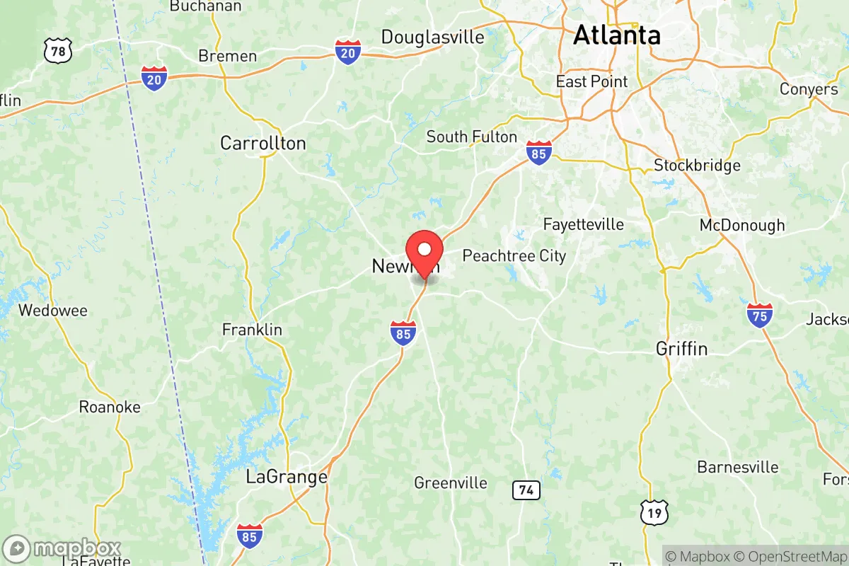
Coweta County, Georgia, offers a compelling strategic profile for the relocator prioritizing resilience, self-sufficiency, and a buffer from the most acute risks of dense urban centers. Its position about 35 miles southwest of Atlanta’s Hartsfield-Jackson International Airport provides access to metropolitan resources without the direct exposure to the city’s core vulnerabilities, while its own towns—like the county seat of Newnan, the smaller community of Senoia, and the more rural Grantville—form a network of locally governed areas that can function semi-independently. The county’s location along the I-85 corridor, equidistant from the Appalachian foothills to the north and the Gulf Coast to the south, also gives residents a viable retreat route in multiple directions, a key logistical advantage for those planning a multi-layered defense posture. This section assesses Coweta’s resilience through geographic strengths, exposure to risks, and its practical capacity for off-grid living.
Geographic position and natural advantages for disaster readiness
Coweta County sits on the eastern edge of the Piedmont region, a zone of rolling hills, clay-based soils, and a dense network of creeks and streams that feed the Chattahoochee River watershed. This geography offers several resilience benefits. The elevation ranges from roughly 800 to 1,000 feet above sea level, placing it above the flood-prone coastal plains of south Georgia yet below the tornado-battered ridge lines of north Alabama. The county’s terrain is heavily forested with mixed hardwoods and pines, providing natural cover, firewood, and building materials. The Chattahoochee River forms the county’s entire western border—a reliable water source that also creates a natural barrier to overland movement from the west. The county has no major dams or nuclear plants within its boundaries, reducing the risk of catastrophic infrastructure failure. The local climate supports a 220-day growing season, allowing for year-round food production, and the area’s well-drained loamy soils are suitable for small-scale agriculture, particularly in the southern parts around Haralson and Luthersville. For the relocator, this is a defensible position: elevated, water-rich, and buffered by forest and topography from the densest population centers to the east and north.
Risks, exposures, and proximity to fallout-relevant landmarks
No location is immune to risk, and Coweta County’s primary vulnerabilities stem from its proximity to Atlanta and the infrastructure that supports it. The most salient man-made risk is the presence of Hartsfield-Jackson Atlanta International Airport, roughly 30 miles northeast of Newnan. As the world’s busiest airport by passenger traffic, it is a high-value target for any disruption scenario, whether natural, economic, or deliberate. A major event at the airport—a ground stop, an epidemic, or a security incident—could trigger cascading effects along I-85, which runs through Coweta and serves as the primary evacuation corridor for Atlanta’s southern suburbs. Additionally, the county lies within 50 miles of two major rail yards: the CSX Rice Yard in Waycross (south) and the Norfolk Southern Inman Yard in Atlanta. These handle hazardous materials, including chlorine and ammonia, and a derailment or release could affect air quality and water sources downstream. The county also sits within 60 miles of the Plant Vogtle nuclear power plant near Augusta; while the prevailing winds in this region are from the west, a non-standard weather pattern could push fallout toward Coweta in the event of a release. Natural hazards include the risk of strong tornadoes—the county is in the Dixie Alley corridor—and the occasional ice storm that can take down power lines for days. Flooding is localized to the Chattahoochee River floodplain, particularly near the city of Whitesburg, but most of the county’s developed areas are on higher ground.
Practical resilience for a relocator: food, water, energy, and defensibility
For someone serious about self-sufficiency, Coweta County presents a mixed but generally favorable picture. Water access is excellent: the county’s groundwater is plentiful, with the Chattahoochee River providing a surface source that is regulated by the U.S. Army Corps of Engineers. Private wells are common in rural areas, and the county’s lake system—including Lake Horton and Lake Redwine—offers secondary reservoirs for emergency supply. The county’s agricultural base is small but tangible; there are dozens of working farms, particularly in the southern district around Grantville and Luthersville, where you can source livestock and produce directly. The local food economy includes a farmers’ market in Newnan and two USDA-inspected meat processors within 30 minutes. For energy, the county is served by Coweta-Fayette EMC, a cooperative with a strong tree-trimming program, but the grid remains vulnerable to ice storms and summer thunderstorms. Solar potential is moderate—the region gets about 220 sunny days per year, enough for a well-placed array, but heavy tree cover can limit rooftop options. Defensibility is a strength: the county’s scattered settlement pattern means neighbors are often a quarter-mile or more apart in the southern areas, reducing the chance of conflict over resources. The Newnan Police Department and Coweta County Sheriff’s Office maintain a presence, but response times in rural sections can exceed 20 minutes. The county’s zoning is generally permissive of agricultural outbuildings, firearms storage, and livestock, though permits are required for new wells and septic systems. The overall picture is one of a preparedness sweet spot: deep water resources, working farmland, and a low-density layout that makes a group or family easy to defend, offset by moderate grid exposure and the ever-present risk of being caught in Atlanta’s growth path.
The strategic verdict on Coweta County is that it is one of the better-balanced options in the Atlanta orbit for the deliberately resilient individual. It offers genuine geographic defensibility with the Chattahoochee as a western moat, a climate that supports year-round food production, and a local governance structure that has not shown the overreach seen in metro Atlanta counties. Its proximity to Atlanta’s airport and rail corridors is a trade-off—you are close enough to be affected by a regional disruption but far enough that its direct ripple effects will be blunted by distance and the buffer of neighboring counties like Fayette and Meriwether. For the relocator who wants to stay within a few hours of a major city while maintaining a rural life with deep wells, a garden, and a defensible perimeter, Coweta County earns a solid B+ rating. The key is to avoid the I-85 corridor near Newnan’s commercial strips and instead target the southern and western townships—Grantville, Luthersville, and southeast of Senoia—where the county’s natural advantages are most pronounced and the man-made exposure is least.

* Values derived from national, state, county, city and local statistics and may differ in a specific area. Last updated: 2026-07-03T03:15:17.000Z
Narrative content on this page is AI-generated and may contain mistakes. Verify any details that matter before acting on them.
ReloMaps may earn a commission from affiliate links at no extra cost to you.

