
Photo: Wikipedia
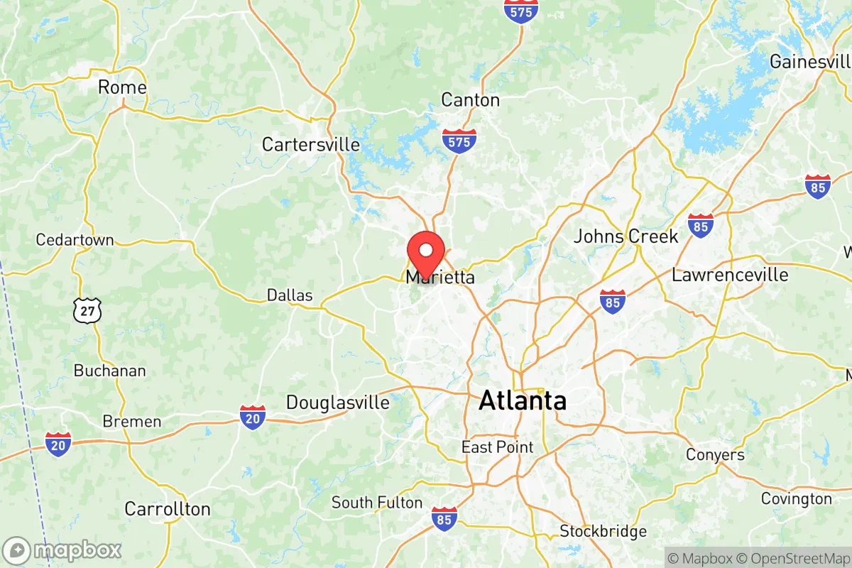
Strategic Assessment of Cobb County
Multiple tactical vulnerabilities. Population density, target proximity, or disaster risk are likely compounding. A retreat property and exit planning is required.
What does the Strategic Assessment tell us?
Our Strategic Assessment grades tactical survivability of an area. Major population centers, military targets, fallout zones, natural disasters, and border exposure all drive risk — lower exposure means a more defensible position in a crisis.
This is heavily inspired by Joel Skousen's Strategic Relocation book. Highly recommended you checkout the book ($)What does this tell us?
Our Strategic Assessment grades tactical survivability of an area. Major population centers, military targets, fallout zones, natural disasters, and border exposure all drive risk — lower exposure means a more defensible position in a crisis.
This is heavily inspired by Joel Skousen's Strategic Relocation book. Highly recommended you checkout the book ($)Strategic Pillars

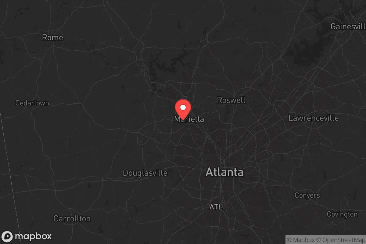
Key Distances
Strategic Assessment Analysis
Cobb County, Georgia, sits in a precarious but potentially advantageous position for those thinking long-term about resilience and security. Its location northwest of Atlanta offers a buffer from the worst of a major metropolitan collapse while still providing access to critical infrastructure and supply lines. The county’s mix of suburban sprawl, forested hills, and working-class towns like Marietta, Kennesaw, and Smyrna creates a layered environment where a prepared individual or family can carve out a defensible niche—provided they understand the risks baked into the geography.
Geographic position and natural advantages for long-term security
Cobb County’s real strength is its position along the eastern edge of the Appalachian foothills, which gives it elevation, water access, and natural chokepoints. The county is bisected by the Chattahoochee River, which forms its southern and western borders—a reliable freshwater source that also acts as a natural barrier against uncontrolled movement from the south. The terrain rises steadily from the river valley into the Kennesaw Mountain area, offering vantage points and defensible high ground. Unlike flat, open counties to the south and west, Cobb’s rolling hills and dense tree cover provide concealment and make large-scale mechanized movement difficult. The county’s position also puts it within a two-hour drive of the Blue Ridge Mountains, where deeper retreat options exist if things go truly sideways. For a relocator, this means you’re not stuck in a basin or floodplain—you’ve got escape routes north and east, and the terrain works with you, not against you.
Risks, exposures, and proximity to fallout-relevant landmarks
Let’s be blunt: Cobb County is not a remote survivalist paradise. It sits in the shadow of Atlanta, a major population center and a prime target for civil unrest, grid collapse, or worse. The county is home to Dobbins Air Reserve Base and the Lockheed Martin facility in Marietta, which builds the F-35 and other military aircraft. That makes Cobb a potential secondary target in any conflict involving strategic assets—think EMP, sabotage, or conventional strike. The county also lies within 30 miles of Hartsfield-Jackson Atlanta International Airport, one of the busiest in the world, and within 50 miles of the Port of Savannah’s rail and highway corridors. In a national emergency, these choke points will draw chaos, refugees, and supply disruptions. The immediate risk is not direct blast damage but the cascading effects: mass evacuation from Atlanta northward along I-75 and I-575, which both cut through Cobb. If you’re in Smyrna or Vinings, you’re in the spillover zone. If you’re farther north in Acworth or Kennesaw, you’ve got more buffer, but you’re still on the evacuation route. The county’s proximity to the Georgia Nuclear Aircraft Laboratory (closed but still a historical site) near Dawsonville is a reminder that the region has a legacy of sensitive infrastructure. For a prepper, the key takeaway is that Cobb offers strategic depth only if you’re positioned away from the major transit corridors and military installations.
Practical resilience for a relocator: food, water, energy, and defensibility
On the practical side, Cobb County has real strengths for a self-sufficient setup, but they require deliberate planning. Water is the biggest win: the Chattahoochee River is a perennial flow, and the county’s reservoir system—including Lake Allatoona to the north and the smaller Lake Acworth—provides backup supply. A household with a well or a rainwater catchment system on the higher elevations near Kennesaw Mountain can secure independent water. Food is trickier. Cobb is suburban, not agricultural; the county’s farmland is mostly gone, replaced by subdivisions and strip malls. However, the northern parts of the county near Acworth and the Paulding County line still have pockets of rural land where small-scale gardening, chicken coops, and even a few goats are feasible. The local farmers’ markets in Marietta and Kennesaw are good for networking with growers, but don’t expect to live off the land without serious effort. Energy is a mixed bag. The county is served by Georgia Power, which relies on a mix of natural gas, nuclear (Plant Vogtle is 150 miles away), and coal. Grid reliability is average, but ice storms and summer thunderstorms cause frequent outages. Solar is viable here—Cobb gets about 215 sunny days per year—but HOA restrictions in many subdivisions can be a hurdle. Defensibility is where Cobb shines if you choose your location wisely. The Kennesaw Mountain area offers natural chokepoints and high ground. The county’s network of state parks and green spaces, like the Chattahoochee River National Recreation Area, provides buffer zones. But the suburban layout means most homes are on grid streets with multiple access points—hard to secure against a determined group. A relocator should prioritize a property on a dead-end road, near a water source, and with a clear line of sight to approach routes. The county’s gun culture is strong (Kennesaw famously requires heads of households to own firearms), which is a plus for community defense, but it also means you’re not the only one armed.
The overall strategic picture for Cobb County is one of calculated risk. It’s not a bug-out location—it’s a stay-and-fight location for someone who wants to be near resources but not inside the blast radius. The county’s advantages—water, terrain, and a prepared-minded population—are real, but they come with exposure to Atlanta’s gravitational pull and the military-industrial targets in Marietta. For a conservative-leaning relocator who values community, self-reliance, and the ability to hold ground, Cobb offers a workable middle ground. Just don’t mistake it for a sanctuary. Plan your escape routes north, stock your supplies, and know that the first 72 hours after any major event will determine whether you’re part of the solution or part of the problem.
* Values derived from national, state, county, city and local statistics and may differ in a specific area. Last updated: 2026-05-12T08:57:48.000Z
Narrative content on this page is AI-generated and may contain mistakes. Verify any details that matter before acting on them.
ReloMaps may earn a commission from affiliate links at no extra cost to you.