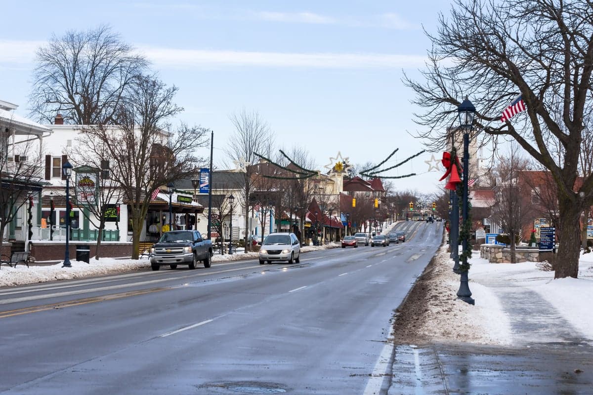
Photo: Wikipedia
Strategic Assessment of Frankenmuth, MI
Meaningful friction. Expect exposure to either population pressure, blast zones, or natural disaster risk. Consider buying a retreat property.
What does the Strategic Assessment tell us?
Our Strategic Assessment grades tactical survivability of an area. Major population centers, military targets, fallout zones, natural disasters, and border exposure all drive risk — lower exposure means a more defensible position in a crisis.
This is heavily inspired by Joel Skousen's Strategic Relocation book. Highly recommended you checkout the book ($)What does this tell us?
Our Strategic Assessment grades tactical survivability of an area. Major population centers, military targets, fallout zones, natural disasters, and border exposure all drive risk — lower exposure means a more defensible position in a crisis.
This is heavily inspired by Joel Skousen's Strategic Relocation book. Highly recommended you checkout the book ($)Strategic Pillars

Key Distances
Regional Safe Places
Below is our recommended "safe zones" in Michigan and the surrounding area based on our strategic heuristics. For most people, it's unrealistic to live in a “safe zone” full-time due to work, family or other personal reasons. They tend to be more rural. However, many of these areas are perfect for second homes and retreat properties that double as a vacation home or even a short-term rental.


Important Note: For informational purposes only. This does not mean nothing bad ever happens in the green zones. Please use common sense. This is based on public data and modeled with AI. We tried to take a conservative approach but mistakes happen. We update this regularly as new information becomes available.
Solar Generator Recommendations
Backup power matters more here than in safer locations. We've picked three solar generators across budgets and capacity tiers — start with the budget unit if you only need a few essentials, or step up if you want to run a fridge and HVAC for days at a time.

Jackery Portable Power Station Explorer 300
Budget OptionPower on the Go: Weighing only 11 lbs, it's convenient to set up and store with book-sized foldable solar panels

BLUETTI Portable Power Station AC180
Designed for both indoor and outdoor scenarios, AC180 is highly capable as it has a robost capacity and continuous output power.

EF ECOFLOW DELTA Pro Ultra Power Station
Upgraded PickEcoFlow DELTA Pro Ultra is a whole-home energy system designed to grow with your family. Integrated with the Smart Home Panel 2, it scales to meet your evolving energy needs — keeping your home powered, intelligent, and secure through every stage of life.
We earn a commission, at no additional cost to you.
Strategic Assessment Analysis
Frankenmuth, Michigan, offers a surprisingly resilient relocation option for those prioritizing disaster readiness and self-sufficiency, thanks to its unique blend of small-town infrastructure, strong local agriculture, and a position that balances proximity to resources with meaningful distance from major metropolitan fallout zones. While no location is immune to risk, this Bavarian-themed community in Saginaw County punches above its weight in practical resilience, provided you understand its specific geographic trade-offs. The area’s strategic value lies in its ability to function as a semi-independent node—capable of supporting a household without constant reliance on the fragile supply chains of Detroit or Flint, yet close enough to access specialized medical care or industrial goods when needed.
Geographic position and natural advantages for self-sufficiency
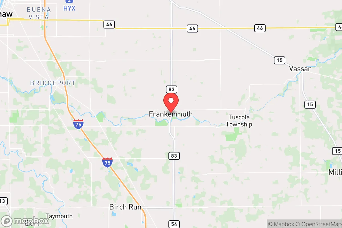
Frankenmuth sits in the heart of Michigan’s Thumb region, roughly 90 miles northwest of Detroit and 25 miles southeast of Saginaw. This positioning is a double-edged sword, but for resilience-minded relocators, the advantages are clear. The city is nestled along the Cass River, a tributary of the Saginaw River, which provides a reliable freshwater source—critical for both daily use and emergency irrigation. The surrounding landscape is predominantly flat, fertile farmland, part of the larger Saginaw Valley agricultural belt. This means local food production is not a theoretical exercise; the area is a net exporter of corn, soybeans, wheat, and dairy. For a household looking to supplement its own food supply, the growing season runs roughly from late April to mid-October, with ample opportunities for community-supported agriculture (CSA) shares and direct-from-farm purchases. The region’s relatively low population density—Frankenmuth itself has about 5,000 residents, with the broader Frankenmuth Township adding another 2,000—reduces competition for resources in a crisis scenario. The terrain offers no significant natural barriers (no mountains, no dense forests), but it also lacks the wildfire-prone dry conditions of the West or the hurricane-exposed coastlines of the South. Winter storms are the primary natural hazard, with average snowfall around 40 inches per year, but the local infrastructure is well-adapted to snow removal and cold-weather survival.
Risks, exposures, and proximity to fallout-relevant landmarks
The most significant resilience risk for Frankenmuth is its proximity to several man-made and natural hazard zones that could complicate a long-term disruption. The city lies roughly 30 miles from the Saginaw Bay of Lake Huron, which, while not a direct tsunami threat, does expose the area to lake-effect snow squalls and potential storm surge events during intense winter cyclones. More critically, Frankenmuth is within a 50-mile radius of the Dow Chemical Company facility in Midland (about 40 miles northwest), a major chemical manufacturing complex that has experienced past incidents, including a 2020 dam failure and chemical release. A major industrial accident or targeted disruption at this site could produce airborne or waterborne contaminants that might reach the Cass River watershed. Additionally, the Davis-Besse Nuclear Power Station near Oak Harbor, Ohio, is roughly 80 miles south—outside the immediate evacuation zone but within the 50-mile ingestion pathway zone defined by the NRC. A worst-case release could affect regional food and water supplies. On the security side, Frankenmuth’s location along I-75, a major north-south corridor connecting Detroit to the Upper Peninsula, is a double-edged sword. While it provides excellent evacuation routes and supply access, it also makes the area a potential chokepoint or target during civil unrest. The city’s famous tourism industry—drawing over 3 million visitors annually to Bronner’s Christmas Wonderland and Zehnder’s—means that in a sudden crisis, the local population could temporarily swell, straining food, fuel, and

* Values derived from national, state, county, city and local statistics and may differ in a specific area. Last updated: 2026-10-08T15:32:43.000Z
Narrative content on this page is AI-generated and may contain mistakes. Verify any details that matter before acting on them.
ReloMaps may earn a commission from affiliate links at no extra cost to you.

