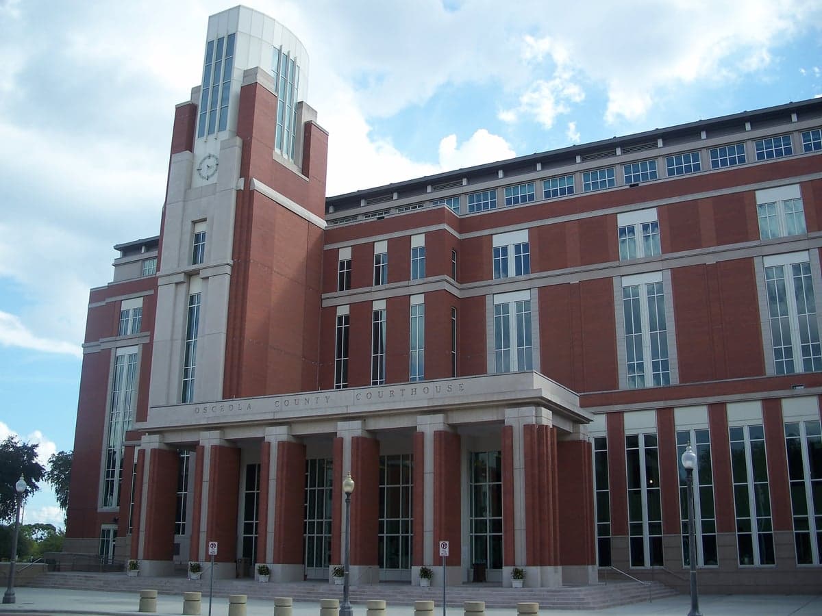
Photo: Wikipedia
Strategic Assessment of Osceola County
Workable tactical position. Some exposure to population density or targets, but generally defensible in a crisis.
What does the Strategic Assessment tell us?
Our Strategic Assessment grades tactical survivability of an area. Major population centers, military targets, fallout zones, natural disasters, and border exposure all drive risk — lower exposure means a more defensible position in a crisis.
This is heavily inspired by Joel Skousen's Strategic Relocation book. Highly recommended you checkout the book ($)What does this tell us?
Our Strategic Assessment grades tactical survivability of an area. Major population centers, military targets, fallout zones, natural disasters, and border exposure all drive risk — lower exposure means a more defensible position in a crisis.
This is heavily inspired by Joel Skousen's Strategic Relocation book. Highly recommended you checkout the book ($)Strategic Pillars

Key Distances
Strategic Assessment Analysis
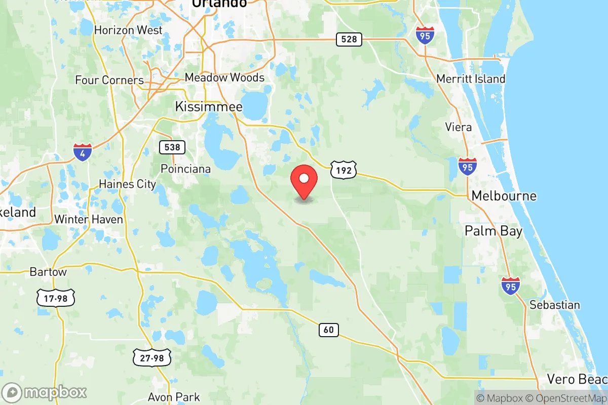
Osceola County, Florida, offers a strategic blend of geographic insulation and practical resilience that appeals to relocation-minded individuals and families with a conservative, self-sufficient outlook. While not immune to the pressures of Florida’s rapid growth, the county’s position—roughly 20 miles south of Orlando’s urban core and 40 miles from the Atlantic coast—provides a buffer from the immediate fallout risks of major metropolitan areas, military installations, and industrial corridors. The county seat, Kissimmee, anchors a region that balances rural expanses with suburban infrastructure, making it a viable option for those prioritizing disaster readiness without abandoning access to modern amenities.
Geographic position and natural advantages for long-term stability
Osceola County’s geography is defined by its interior location, which reduces exposure to coastal hurricane storm surge—a critical advantage over coastal counties like Brevard or Volusia. The county sits on a relatively high ridge of the Florida Peninsula, with elevations averaging 50 to 100 feet above sea level, minimizing flood risk from storm surge or sea-level rise. The Kissimmee River and numerous lakes (including Lake Tohopekaliga and East Lake Tohopekaliga) provide abundant freshwater sources, though they also create localized floodplains. The county’s proximity to the Orlando International Airport (MCO) and the SunRail commuter line offers logistical connectivity for supply chains and evacuation, but these same assets could become liabilities during a crisis if they attract population movement. The rural areas west of Kissimmee, near the town of Holopaw, and south toward Yeehaw Junction, offer sparser development and greater defensibility, with large tracts of ranchland and conservation areas like the Three Lakes Wildlife Management Area providing natural buffers.
Risk exposure: natural hazards and proximity to fallout-relevant landmarks
Osceola County’s primary natural risk is inland flooding from prolonged rainfall and hurricane-spawned tornadoes, as seen during Hurricane Irma (2017) and Hurricane Ian (2022). The county is not in a direct hurricane landfall zone, but it regularly experiences tropical storm-force winds and power outages. Man-made risks are more nuanced. The county is not near any major oil refineries, nuclear power plants, or chemical weapons depots, which is a significant positive for fallout-conscious relocators. The nearest nuclear facility is the St. Lucie Nuclear Power Plant, roughly 100 miles east on the coast—far enough to avoid direct fallout but within a plausible evacuation shadow. The Orlando metropolitan area (population ~2.5 million) is a potential target for large-scale disruption, but Osceola’s position as a bedroom community means it would likely experience secondary effects—refugee influx, supply chain strain—rather than direct attack. The Naval Air Station Jacksonville and MacDill Air Force Base (Tampa) are both over 100 miles away, reducing the risk of being near a primary military target. However, the I-4 corridor connecting Tampa to Orlando is a major evacuation and logistics route, which could become a chokepoint during a crisis.
Practical resilience for a relocator: food, water, energy, and defensibility
For a relocator focused on self-sufficiency, Osceola County offers several practical advantages. Water availability is strong: the Floridan Aquifer underlies the entire county, and many rural properties have access to private wells. Surface water from the Kissimmee Chain of Lakes is plentiful but requires treatment. Food production is viable, with the county historically supporting cattle ranching and citrus groves. The Osceola County Agricultural Extension Service provides resources for small-scale farming, and the Kissimmee Prairie Preserve State Park (one of the largest remaining tracts of dry prairie in Florida) offers open land for grazing or hunting. However, the county’s soil is sandy and nutrient-poor, requiring amendment for vegetable gardening. Energy resilience is a mixed picture: the grid is vulnerable to hurricane-related outages, but solar potential is high (Florida averages 237 sunny days per year), and many rural homes already use propane or backup generators. The county’s defensibility is moderate—the flat terrain offers limited natural chokepoints, but the rural areas west of Interstate 95 and south of State Road 60 provide isolation and multiple egress routes. The Osceola County Sheriff’s Office is well-funded and has a strong presence in unincorporated areas, which can be a deterrent to opportunistic crime during disruptions. The county’s emergency management system is robust, with a dedicated Office of Emergency Management that coordinates with the Central Florida Regional Planning Council for disaster response.
The overall strategic picture for Osceola County is one of moderate resilience with clear trade-offs. Its interior location and distance from high-value military or industrial targets reduce the likelihood of direct fallout exposure, while abundant freshwater and agricultural land support long-term self-sufficiency. The county’s growth trajectory—projected to add over 200,000 residents by 2040—means that land prices are rising and rural character is diminishing, particularly near Kissimmee and the Lake Nona area. For a relocator willing to invest in a well-drilled, solar-equipped property in the western or southern reaches of the county, Osceola offers a defensible base with access to Orlando’s medical and logistical infrastructure without the immediate risks of coastal or urban living. The key vulnerability is the potential for mass migration from the I-4 corridor during a crisis, which could overwhelm local resources. Those prioritizing absolute isolation should look farther north toward the Ocala National Forest or west toward the Green Swamp, but for a balanced mix of accessibility and resilience, Osceola County remains a solid, if not exceptional, choice for the disaster-conscious relocator.

* Values derived from national, state, county, city and local statistics and may differ in a specific area. Last updated: 2026-06-17T02:16:29.000Z
Narrative content on this page is AI-generated and may contain mistakes. Verify any details that matter before acting on them.
ReloMaps may earn a commission from affiliate links at no extra cost to you.

