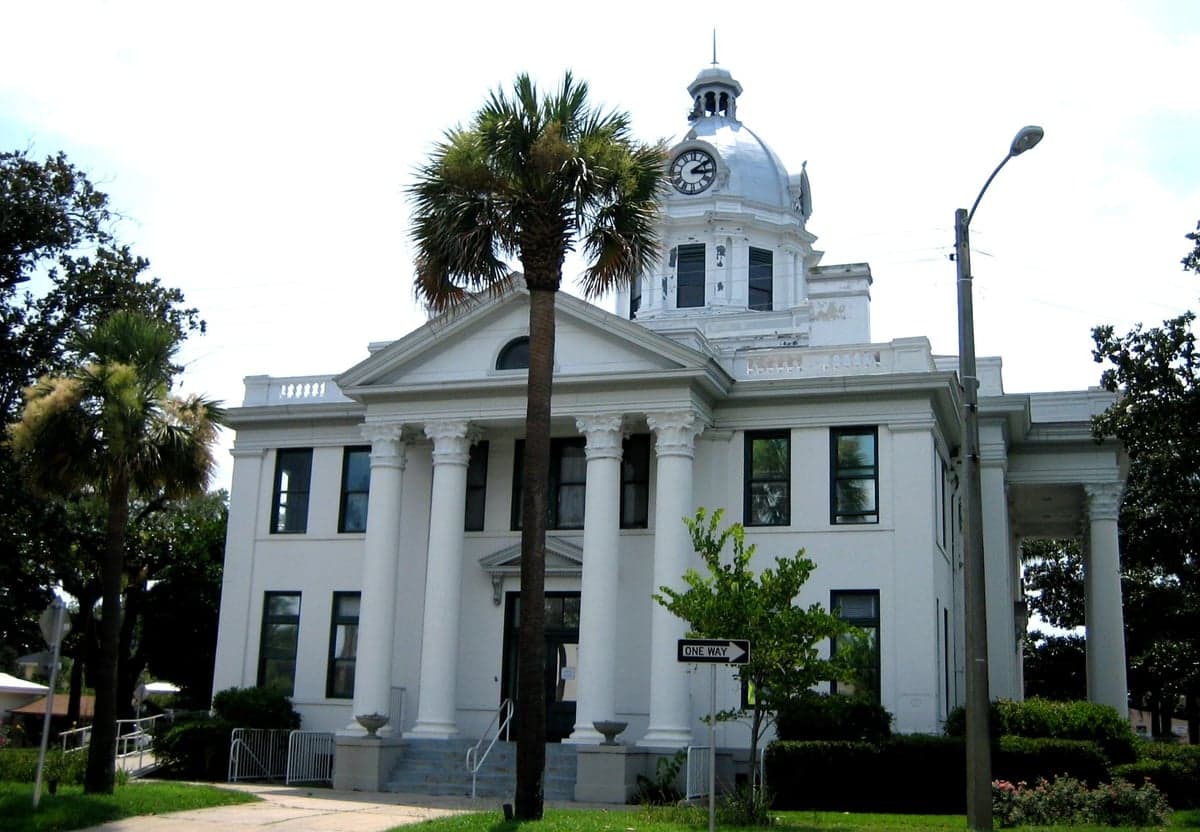
Photo: Wikipedia
Strategic Assessment of Jefferson County
Workable tactical position. Some exposure to population density or targets, but generally defensible in a crisis.
What does the Strategic Assessment tell us?
Our Strategic Assessment grades tactical survivability of an area. Major population centers, military targets, fallout zones, natural disasters, and border exposure all drive risk — lower exposure means a more defensible position in a crisis.
This is heavily inspired by Joel Skousen's Strategic Relocation book. Highly recommended you checkout the book ($)What does this tell us?
Our Strategic Assessment grades tactical survivability of an area. Major population centers, military targets, fallout zones, natural disasters, and border exposure all drive risk — lower exposure means a more defensible position in a crisis.
This is heavily inspired by Joel Skousen's Strategic Relocation book. Highly recommended you checkout the book ($)Strategic Pillars

Key Distances
Strategic Assessment Analysis
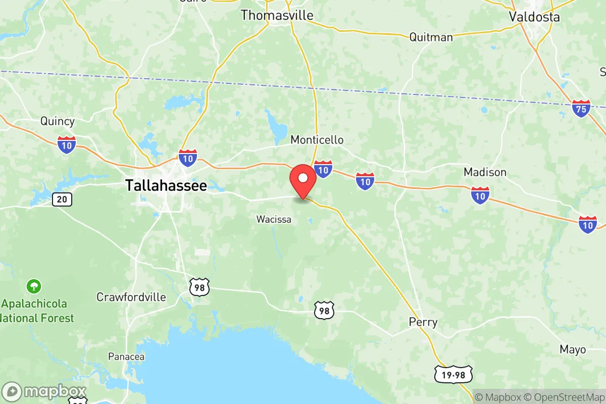
Jefferson County, Florida, offers a compelling mix of strategic depth and practical resilience for those prioritizing disaster readiness and self-sufficiency, though its position in the Big Bend region requires a clear-eyed assessment of both natural and man-made risks. Located roughly 30 miles east of Tallahassee and 20 miles west of the Georgia line, this rural county of roughly 14,000 people sits at a critical inflection point—close enough to state capital resources for supply runs, yet far enough from major urban centers to avoid the worst of a collapse scenario. The county seat of Monticello anchors a landscape of pine forests, farmland, and spring-fed rivers that provide genuine advantages for a relocator looking to build a long-term, defensible homestead.
Geographic position and natural advantages for long-term self-sufficiency
Jefferson County’s geography is its strongest card. The county sits on the southern edge of the Red Hills region, a band of rolling, well-drained uplands that transition into the flatwoods and coastal marshes of the Gulf of Mexico. This elevation—averaging 100 to 200 feet above sea level—provides a meaningful buffer against storm surge, a critical advantage over coastal counties like Wakulla or Taylor. The Aucilla River forms the county’s eastern boundary, while the Wacissa River and its headsprings run through the western portion, offering reliable freshwater sources that don’t depend on municipal infrastructure. The county’s position along U.S. Highway 19 and State Road 59 gives residents two viable evacuation routes north into Georgia or south toward the coast, though the latter is less advisable during hurricane season. For a relocator, the key takeaway is that Jefferson County sits on a natural ridge line with multiple water sources, good soil for small-scale agriculture, and a low population density that reduces competition for resources in a crisis.
Risks, exposures, and proximity to fallout-relevant landmarks
No strategic assessment is complete without weighing the risks, and Jefferson County has several that demand attention. The most immediate natural threat is hurricanes: the county lies in the Big Bend’s “hurricane alley,” where storms often make landfall or track inland. While the elevation mitigates storm surge, Category 3 or higher winds are a real possibility every 5-10 years, as seen with Hurricane Michael in 2018, which caused widespread tree damage and power outages lasting weeks in parts of the county. Flooding along the Aucilla and Wacissa rivers is a secondary concern, but the county’s well-drained soils and lack of major floodplains keep this manageable for most properties. On the man-made risk side, Jefferson County is roughly 60 miles from the St. Marks Nuclear Power Plant (a decommissioned facility near Tallahassee) and about 90 miles from the Port of St. Joe, a deepwater port that handles petroleum products and aggregates. Neither poses a catastrophic fallout risk at this distance, but a major incident at the port or a terrorist strike on Tallahassee’s state government infrastructure could produce secondary effects like supply chain disruptions or population displacement. The county’s proximity to Tallahassee (population 200,000) is a double-edged sword: it provides access to hospitals, hardware stores, and emergency services, but it also means that a crisis in the capital could send tens of thousands of evacuees streaming east on U.S. 90 and I-10, overwhelming local resources. For a relocator, the practical takeaway is that Jefferson County is not in a high-risk fallout zone, but it sits within a 100-mile radius of multiple potential crisis points—Tallahassee, the Gulf Coast, and the Georgia border crossings—that could create secondary pressures.
Practical resilience for a relocator: food, water, energy, and defensibility
For someone serious about self-sufficiency, Jefferson County offers a strong baseline that can be improved with modest investment. Water is the county’s standout asset: the Wacissa River system produces an estimated 200 million gallons of clear, spring-fed water per day, and the Aucilla River is similarly reliable. Many rural properties have shallow wells tapping into the Floridan Aquifer, which sits 50-100 feet below the surface in most of the county, meaning a hand pump or solar-powered well can provide a secure water supply even during grid-down scenarios. Food production is viable but not effortless: the county’s sandy loam soils support gardens, orchards, and pasture, but the hot, humid summers require careful crop selection (okra, sweet potatoes, collards, and citrus do well). The local agricultural base is small—roughly 200 farms, mostly cattle and timber—so a relocator should plan to grow at least 30-40% of their own calories to avoid dependence on the single grocery store in Monticello. Energy resilience is a mixed picture: the county is served by Talquin Electric Cooperative, which has a decent track record for storm restoration, but power outages lasting 3-7 days are common after major storms. Solar panels with battery storage are a wise investment, as the county gets 220 sunny days per year and has no zoning restrictions that would prevent off-grid setups. Defensibility is one of the county’s strongest features: the low population density (about 18 people per square mile) and large tracts of private timberland mean that a well-chosen property—set back from main roads, with a clear view of approach routes—can be made highly secure. The county’s sheriff’s office is small (roughly 30 deputies) but responsive, and the local culture is heavily oriented toward hunting, fishing, and firearms ownership, which creates a natural community of like-minded individuals. For a relocator, the key numbers are: water availability is excellent, food production is moderate, energy resilience requires upfront investment, and defensibility is above average.
The overall strategic picture for Jefferson County is one of moderate-to-high resilience with specific, manageable vulnerabilities. It is not a fallout-proof bunker—no place in Florida is—but it offers a rare combination of reliable water, low population density, and proximity to both natural resources and emergency infrastructure. The county’s position on the edge of the Red Hills gives it a geographic buffer that coastal counties lack, while its distance from major industrial targets (the nearest refinery is in Panama City, 80 miles away) reduces the risk of man-made catastrophe. The biggest wildcards are hurricane frequency and the potential for Tallahassee’s collapse to spill over into the county, but these are risks that can be mitigated with proper planning—elevated structures, a 90-day food supply, and a network of local contacts. For a conservative-leaning relocator who values self-reliance, community, and a slower pace of life, Jefferson County represents a solid strategic choice, provided they come prepared to invest in energy independence and storm hardening. It is not a perfect solution, but in the world of disaster readiness, there are no perfect solutions—only better trade-offs.

* Values derived from national, state, county, city and local statistics and may differ in a specific area. Last updated: 2026-11-14T05:11:27.000Z
Narrative content on this page is AI-generated and may contain mistakes. Verify any details that matter before acting on them.
ReloMaps may earn a commission from affiliate links at no extra cost to you.

