
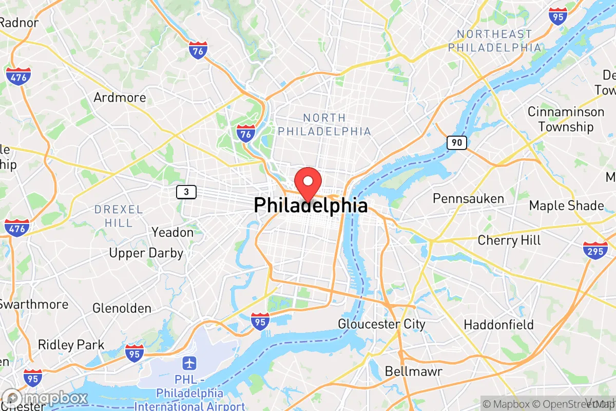
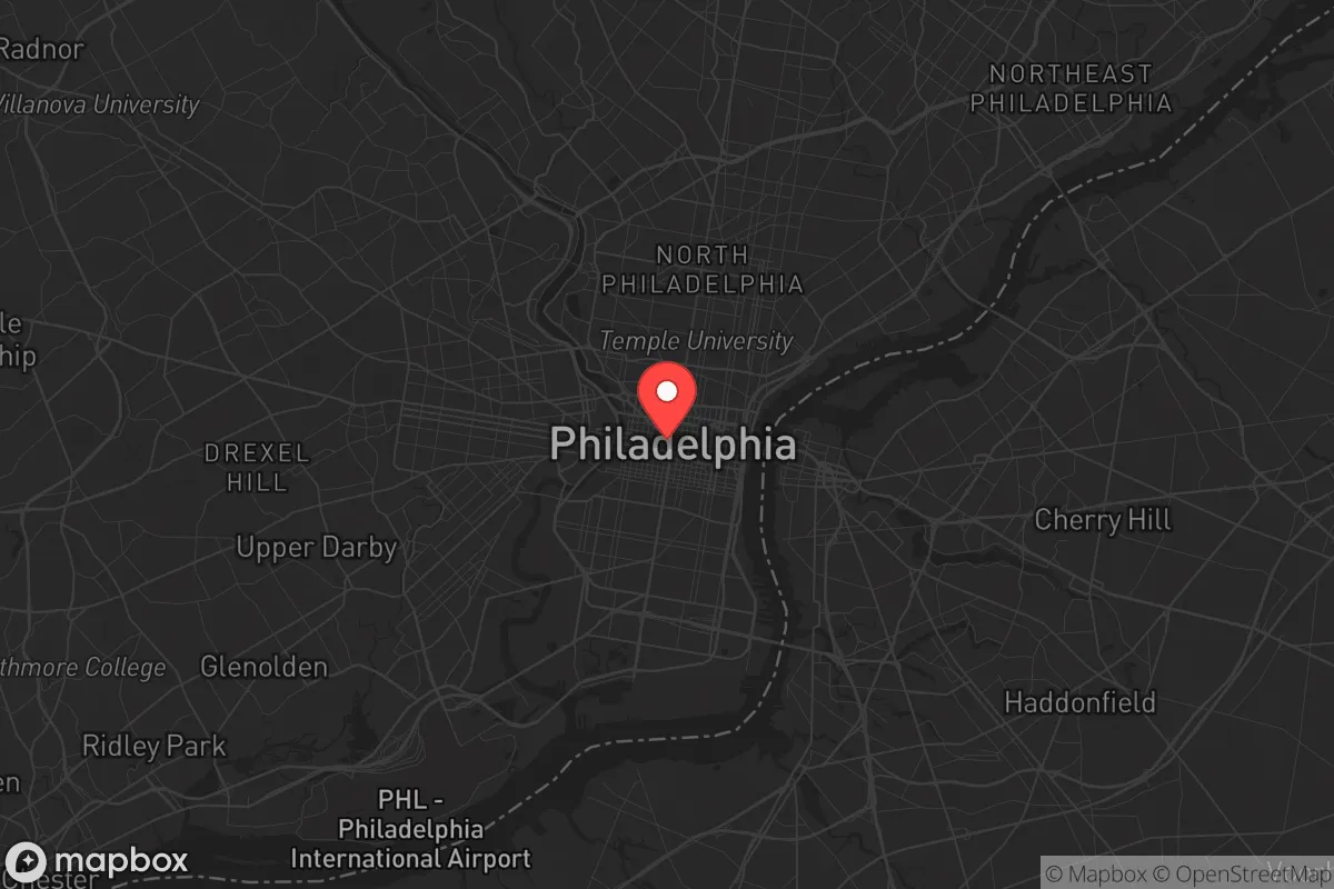
Strategic Assessment of Filadèlfia, PA
High tactical risk. This location is likely close to major population centers, strategic targets, or sits in a high-disaster corridor. A retreat property and careful exit planning is required.
What does the Strategic Assessment tell us?
Our Strategic Assessment grades tactical survivability of an area. Major population centers, military targets, fallout zones, natural disasters, and border exposure all drive risk — lower exposure means a more defensible position in a crisis.
This is heavily inspired by Joel Skousen's Strategic Relocation book. Highly recommended you checkout the book ($)What does this tell us?
Our Strategic Assessment grades tactical survivability of an area. Major population centers, military targets, fallout zones, natural disasters, and border exposure all drive risk — lower exposure means a more defensible position in a crisis.
This is heavily inspired by Joel Skousen's Strategic Relocation book. Highly recommended you checkout the book ($)Strategic Pillars

Key Distances
Regional Safe Places
Below is our recommended "safe zones" in Pennsylvania and the surrounding area based on our strategic heuristics. For most people, it's unrealistic to live in a “safe zone” full-time due to work, family or other personal reasons. They tend to be more rural. However, many of these areas are perfect for second homes and retreat properties that double as a vacation home or even a short-term rental.




Important Note: For informational purposes only. This does not mean nothing bad ever happens in the green zones. Please use common sense. This is based on public data and modeled with AI. We tried to take a conservative approach but mistakes happen. We update this regularly as new information becomes available.
Solar Generator Recommendations
Backup power matters more here than in safer locations. We've picked three solar generators across budgets and capacity tiers — start with the budget unit if you only need a few essentials, or step up if you want to run a fridge and HVAC for days at a time.

Jackery Portable Power Station Explorer 300
Budget OptionPower on the Go: Weighing only 11 lbs, it's convenient to set up and store with book-sized foldable solar panels

BLUETTI Portable Power Station AC180
Designed for both indoor and outdoor scenarios, AC180 is highly capable as it has a robost capacity and continuous output power.

EF ECOFLOW DELTA Pro Ultra Power Station
Upgraded PickEcoFlow DELTA Pro Ultra is a whole-home energy system designed to grow with your family. Integrated with the Smart Home Panel 2, it scales to meet your evolving energy needs — keeping your home powered, intelligent, and secure through every stage of life.
We earn a commission, at no additional cost to you.
Strategic Assessment Analysis
Philadelphia, Pennsylvania, presents a complex strategic picture for the relocation-minded individual or family prioritizing resilience and self-sufficiency. While the city itself is a dense, major urban center with all the attendant vulnerabilities, its broader metropolitan region offers a mix of geographic advantages and significant risk exposures that require careful, unemotional assessment. For the conservative-leaning reader, the key is to understand that Philadelphia is not a single resilience zone; the strategic value lies in the surrounding counties and the specific trade-offs between proximity to resources and proximity to risk.
Geographic position and natural advantages of the Philadelphia region
The Philadelphia region sits within the Piedmont Plateau, a transition zone between the coastal plain and the Appalachian foothills. This position provides a meaningful natural advantage: the area is largely insulated from the most severe coastal storm surge that threatens places like Atlantic City or the Delaware Bay shore, while still being inland enough to avoid the worst of nor'easter impacts. The region's underlying geology is predominantly crystalline bedrock and well-drained soils, which reduces the risk of catastrophic liquefaction or widespread sinkholes compared to areas built on alluvial plains. The Delaware and Schuylkill Rivers are the dominant hydrological features, and while they present flood risks in low-lying zones, they also offer a massive, reliable freshwater source. The region's elevation ranges from near sea level along the Delaware to over 400 feet in parts of Montgomery and Chester counties, meaning that strategic relocation within the metro area can yield significant defensive height advantages. The climate is temperate, with four distinct seasons, which supports diversified local agriculture and reduces the risk of the extreme heat events that plague the Deep South. The region's position along the I-95 corridor is a double-edged sword: it provides access to supply chains and evacuation routes, but also places it directly in the path of any major east-coast disruption.
Risks, exposures, and proximity to fallout-relevant landmarks
The most critical risk factor for a resilience-minded relocator is Philadelphia's proximity to multiple high-value, high-risk targets. The city itself is a major population center, a hub for pharmaceutical and chemical manufacturing, and a critical transportation node. Within a 50-mile radius lie the Limerick Generating Station (nuclear power plant) in Montgomery County and the Salem and Hope Creek nuclear plants in New Jersey, both within the 50-mile emergency planning zone. The Philadelphia International Airport and the Port of Philadelphia are obvious chokepoints that could be targeted or disrupted. The region is also home to the Valley Forge and Fort Detrick military installations (the latter within 100 miles), and the concentration of defense contractors and federal agencies in the Delaware Valley is significant. For the reader concerned about man-made or cascading failures, the urban core of Philadelphia itself is a high-risk zone: dense row-house construction, aging infrastructure, and a complex grid make it vulnerable to prolonged power outages, water system failures, and civil unrest. The I-95 collapse in 2023 demonstrated how a single infrastructure failure can paralyze the region. Natural hazards include the risk of moderate earthquakes (the region is in a low-activity zone, but not immune), occasional tornadoes (typically EF-0 to EF-2), and the aforementioned river flooding. The 2021 Hurricane Ida remnants caused catastrophic flash flooding in parts of the city and suburbs, a reminder that even inland areas are not immune to extreme weather.
Practical resilience for a relocator: food, water, energy, and defensibility
For the individual or family looking to establish a resilient homestead, the Philadelphia suburbs offer a mixed bag. Water availability is a major strength: the Delaware River Basin is one of the most reliable freshwater sources on the East Coast, and many suburban municipalities draw from deep aquifers. However, municipal water systems are vulnerable to contamination and pressure loss; a well on private property is a significant resilience advantage, and many properties in Chester, Montgomery, and Bucks counties have this option. Local food production is feasible but requires effort. The region has a strong agricultural heritage, with Lancaster County (about 60 miles west) being one of the most productive farming areas in the country. Within the metro area, community gardens and small-scale farms are common, but the growing season is shorter than in the South (roughly April to October). For a relocator, securing land with good soil and southern exposure is a priority. Energy resilience is a challenge. The grid is reliable under normal conditions but is vulnerable to storms and cyberattacks. Solar potential is moderate (about 4.5 peak sun hours per day), and many suburban homes can accommodate rooftop panels. Natural gas is widely available, which is a plus for heating and cooking, but it also creates a single-point-of-failure risk. Defensibility varies dramatically by location. The dense, interconnected suburbs of the Main Line are hard to secure; the more rural townships in northern Bucks County or southern Chester County offer better options. Look for properties with a single access road, good sightlines, and distance from major highways. The region's strong gun culture and relatively permissive firearm laws (compared to New Jersey or New York) are a plus for self-defense, but the urban proximity means that any major disruption could bring a wave of displaced people from the city.
The overall strategic picture for Philadelphia is one of high potential but high risk. The region's natural advantages—reliable water, moderate climate, and defensible terrain in the outer suburbs—are real and valuable. But the concentration of critical infrastructure, population density, and proximity to multiple nuclear and military targets mean that a relocator must be deliberate about location. The sweet spot for resilience is likely in the outer ring of Chester, Montgomery, or Bucks counties, at least 20 miles from the city center and away from major highways and industrial zones. A property with a well, solar panels, a wood-burning heat source, and good access to local food networks can be a viable long-term base. However, the region's overall resilience is lower than more remote areas in the Appalachians or the Midwest. For the reader who values access to urban amenities and is willing to invest in serious preparedness, Philadelphia's suburbs can work. For those seeking a truly low-risk, off-grid lifestyle, the region's strategic liabilities likely outweigh its advantages. The key is to treat the Philadelphia metro area as a high-risk, high-reward environment that demands a clear-eyed, location-specific plan.

* Values derived from national, state, county, city and local statistics and may differ in a specific area. Last updated: 2026-08-19T14:46:47.000Z
Narrative content on this page is AI-generated and may contain mistakes. Verify any details that matter before acting on them.
ReloMaps may earn a commission from affiliate links at no extra cost to you.

