
Photo: Wikipedia
Strategic Assessment of Elizabethton, TN
Meaningful friction. Expect exposure to either population pressure, blast zones, or natural disaster risk. Consider buying a retreat property.
What does the Strategic Assessment tell us?
Our Strategic Assessment grades tactical survivability of an area. Major population centers, military targets, fallout zones, natural disasters, and border exposure all drive risk — lower exposure means a more defensible position in a crisis.
This is heavily inspired by Joel Skousen's Strategic Relocation book. Highly recommended you checkout the book ($)What does this tell us?
Our Strategic Assessment grades tactical survivability of an area. Major population centers, military targets, fallout zones, natural disasters, and border exposure all drive risk — lower exposure means a more defensible position in a crisis.
This is heavily inspired by Joel Skousen's Strategic Relocation book. Highly recommended you checkout the book ($)Strategic Pillars

Key Distances
Regional Safe Places
Below is our recommended "safe zones" in Tennessee and the surrounding area based on our strategic heuristics. For most people, it's unrealistic to live in a “safe zone” full-time due to work, family or other personal reasons. They tend to be more rural. However, many of these areas are perfect for second homes and retreat properties that double as a vacation home or even a short-term rental.
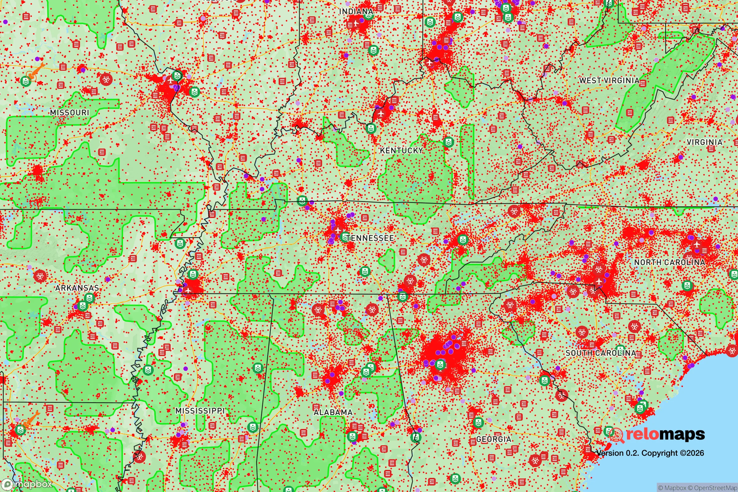
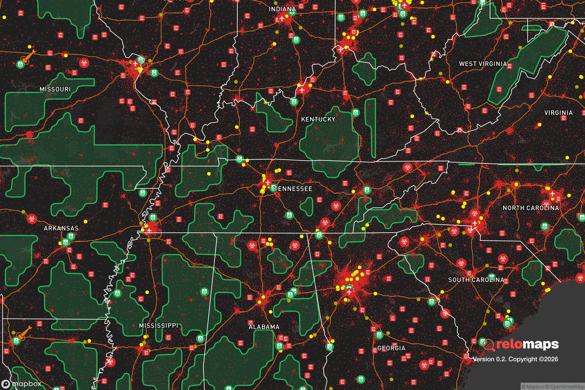


Important Note: For informational purposes only. This does not mean nothing bad ever happens in the green zones. Please use common sense. This is based on public data and modeled with AI. We tried to take a conservative approach but mistakes happen. We update this regularly as new information becomes available.
Solar Generator Recommendations
Backup power matters more here than in safer locations. We've picked three solar generators across budgets and capacity tiers — start with the budget unit if you only need a few essentials, or step up if you want to run a fridge and HVAC for days at a time.

Jackery Portable Power Station Explorer 300
Budget OptionPower on the Go: Weighing only 11 lbs, it's convenient to set up and store with book-sized foldable solar panels

BLUETTI Portable Power Station AC180
Designed for both indoor and outdoor scenarios, AC180 is highly capable as it has a robost capacity and continuous output power.

EF ECOFLOW DELTA Pro Ultra Power Station
Upgraded PickEcoFlow DELTA Pro Ultra is a whole-home energy system designed to grow with your family. Integrated with the Smart Home Panel 2, it scales to meet your evolving energy needs — keeping your home powered, intelligent, and secure through every stage of life.
We earn a commission, at no additional cost to you.
Strategic Assessment Analysis
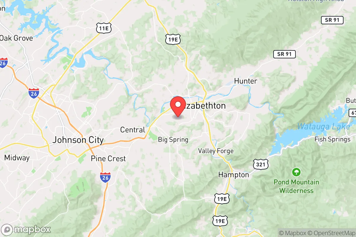
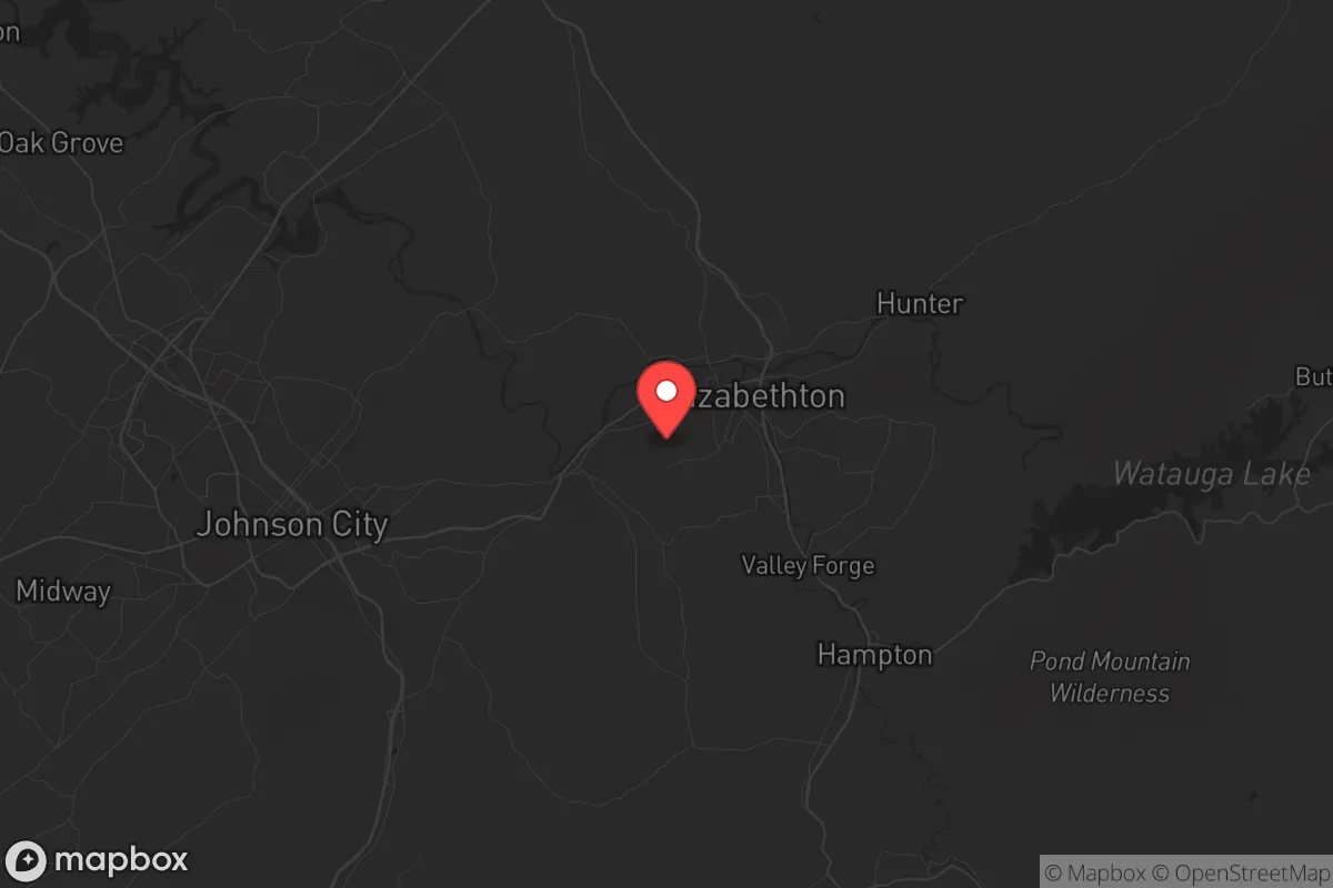
Elizabethton, Tennessee, offers a compelling strategic position for those prioritizing resilience and self-sufficiency, balancing proximity to essential infrastructure with a buffer from the highest-risk zones. Nestled in the northeastern corner of the state within Carter County, the town sits at the confluence of the Watauga and Doe Rivers, roughly 100 miles northeast of Knoxville and 30 miles from the Virginia border. This location provides meaningful separation from major metropolitan centers while retaining access to their resources, making it a viable option for relocators who want to be within striking distance of urban amenities without being exposed to their most acute vulnerabilities.
Geographic position and natural advantages for self-sufficiency
Elizabethton’s geography is defined by the Appalachian Mountains, specifically the Unaka Range and the Roan Mountain massif to the east, which create a natural barrier and a distinct microclimate. The area sits at an elevation of roughly 1,500 feet, with surrounding peaks exceeding 6,000 feet, offering cooler summers and a longer growing season than much of the Deep South. The Watauga River, a tributary of the South Fork Holston, provides a reliable surface water source, and the region’s annual rainfall of 45-50 inches supports robust agriculture without the drought risks common in the western U.S. The mountainous terrain offers natural defensibility—limited ingress and egress routes, primarily via U.S. Route 19E and State Route 67, which can be monitored or controlled more easily than flat, open country. The nearby Cherokee National Forest and Watauga Lake (a TVA reservoir) provide additional buffer space and resources, including timber, game, and fish, for those planning long-term self-sufficiency. The area’s karst topography, with numerous caves and springs, also offers potential for water storage and shelter, though it requires careful site evaluation for contamination risks.
Risks, exposures, and proximity to fallout-relevant landmarks
While Elizabethton avoids the direct blast and fallout zones of major strategic targets, it is not immune to risks. The closest significant urban center is Johnson City, 15 miles southwest, which hosts a regional medical center and industrial base but is not a primary nuclear target. Knoxville, home to the Oak Ridge National Laboratory and the Y-12 National Security Complex (a nuclear weapons components facility), lies 100 miles southwest—outside the lethal blast radius but within potential fallout plume paths depending on wind patterns. A worst-case scenario involving a ground burst at Oak Ridge could deposit fallout in northeastern Tennessee within hours, though prevailing winds typically blow southwest to northeast, meaning Elizabethton is more likely to be downwind of a Knoxville event than upwind. The TVA’s nuclear plants—Watts Bar (70 miles southwest) and Sequoyah (80 miles southwest)—are additional considerations, though their containment structures and remote locations reduce catastrophic risk. Natural hazards include flash flooding from the Watauga and Doe Rivers, particularly during heavy rain events; the 1977 flood caused significant damage, and climate models suggest increased precipitation intensity. Earthquake risk is low but not zero—the East Tennessee Seismic Zone produces minor tremors, and the New Madrid fault zone (400 miles west) could generate distant shaking. Wildfire risk is moderate, with dry spells in late summer and fall, but the region’s high humidity and forest management reduce large-scale fire probability.
Practical resilience for a relocator: food, water, energy, and defensibility
For a relocator focused on day-to-day resilience, Elizabethton offers several structural advantages. Water availability is excellent: the Watauga River and its tributaries provide year-round flow, and the city’s water treatment plant draws from the river, with backup wells. Private wells are common in rural areas outside city limits, with typical depths of 100-300 feet yielding good-quality water, though testing for heavy metals (especially from historic mining in the region) is advisable. Food production potential is strong: the growing season runs roughly April to October, with fertile valley soils supporting vegetables, fruits, and livestock. The local farmers’ market operates year-round, and Carter County has a robust network of small farms, orchards, and CSAs. For long-term storage, the area’s cool basements and root cellars are effective. Energy resilience is mixed: the grid is served by the Tennessee Valley Authority, which has a diversified generation mix (hydro, nuclear, coal, natural gas, solar) and a strong transmission backbone, but rural outages from ice storms and wind events are common—typically lasting 4-12 hours, occasionally 2-3 days. Solar potential is moderate: the region receives about 4.5 peak sun hours per day, sufficient for off-grid systems with battery storage, but tree cover in the mountains can limit rooftop options. Wood heating is a practical backup, with abundant firewood from national forest permits or private land. Defensibility is a key asset: the terrain creates natural chokepoints on the main roads, and the surrounding mountains offer retreat options for those with property in the higher elevations. The local population is relatively sparse (roughly 14,000 in the city, 57,000 in the county), with a culture of self-reliance and firearm ownership that aligns with preparedness-minded relocators. The Carter County Sheriff’s Office and Elizabethton Police Department maintain a visible presence, but response times in remote areas can exceed 20 minutes, reinforcing the need for personal security measures.
The overall strategic picture for Elizabethton is one of balanced resilience—strong on natural resources and defensibility, moderate on exposure to distant threats, and requiring proactive planning for energy and flood risks. It is not a bunker location; it is a working-class Appalachian town with real advantages for those willing to invest in water storage, backup power, and food production. The proximity to Johnson City and the Tri-Cities region (Bristol, Kingsport) provides access to hospitals, hardware stores, and supply chains without the density and target profile of a major city. For a relocator who values independence and is comfortable with rural life’s practical demands, Elizabethton represents a solid, unglamorous choice—one that rewards preparation without promising invulnerability. The key is to treat it as a base for building resilience, not a pre-built solution, and to recognize that the same mountains that offer protection also impose logistical constraints on travel and supply runs. If that trade-off aligns with your priorities, this area deserves serious consideration.

* Values derived from national, state, county, city and local statistics and may differ in a specific area. Last updated: 2026-09-29T21:41:25.000Z
Narrative content on this page is AI-generated and may contain mistakes. Verify any details that matter before acting on them.
ReloMaps may earn a commission from affiliate links at no extra cost to you.

