Photo: Wikipedia
Strategic Assessment of Egremont, MA
Meaningful friction. Expect exposure to either population pressure, blast zones, or natural disaster risk. Consider buying a retreat property.
What does the Strategic Assessment tell us?
Our Strategic Assessment grades tactical survivability of an area. Major population centers, military targets, fallout zones, natural disasters, and border exposure all drive risk — lower exposure means a more defensible position in a crisis.
This is heavily inspired by Joel Skousen's Strategic Relocation book. Highly recommended you checkout the book ($)What does this tell us?
Our Strategic Assessment grades tactical survivability of an area. Major population centers, military targets, fallout zones, natural disasters, and border exposure all drive risk — lower exposure means a more defensible position in a crisis.
This is heavily inspired by Joel Skousen's Strategic Relocation book. Highly recommended you checkout the book ($)Strategic Pillars

Key Distances
Regional Safe Places
Below is our recommended "safe zones" in Massachusetts and the surrounding area based on our strategic heuristics. For most people, it's unrealistic to live in a “safe zone” full-time due to work, family or other personal reasons. They tend to be more rural. However, many of these areas are perfect for second homes and retreat properties that double as a vacation home or even a short-term rental.




Important Note: For informational purposes only. This does not mean nothing bad ever happens in the green zones. Please use common sense. This is based on public data and modeled with AI. We tried to take a conservative approach but mistakes happen. We update this regularly as new information becomes available.
Solar Generator Recommendations
Backup power matters more here than in safer locations. We've picked three solar generators across budgets and capacity tiers — start with the budget unit if you only need a few essentials, or step up if you want to run a fridge and HVAC for days at a time.

Jackery Portable Power Station Explorer 300
Budget OptionPower on the Go: Weighing only 11 lbs, it's convenient to set up and store with book-sized foldable solar panels

BLUETTI Portable Power Station AC180
Designed for both indoor and outdoor scenarios, AC180 is highly capable as it has a robost capacity and continuous output power.

EF ECOFLOW DELTA Pro Ultra Power Station
Upgraded PickEcoFlow DELTA Pro Ultra is a whole-home energy system designed to grow with your family. Integrated with the Smart Home Panel 2, it scales to meet your evolving energy needs — keeping your home powered, intelligent, and secure through every stage of life.
We earn a commission, at no additional cost to you.
Strategic Assessment Analysis
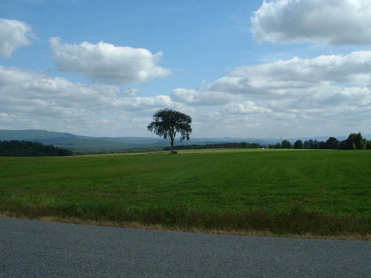
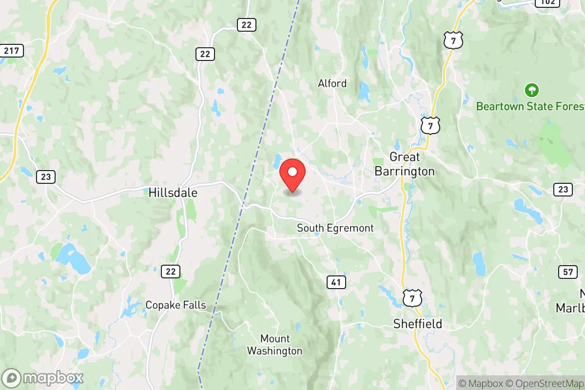
Egremont, Massachusetts, offers a strategic blend of rural seclusion and practical access that makes it a compelling option for those prioritizing resilience and self-sufficiency. Nestled in the southwestern corner of the state, this small town of roughly 1,200 residents sits at the intersection of the Taconic Range and the Housatonic River Valley, providing natural barriers and resource advantages that many New England towns lack. Its position roughly 30 miles from Albany, New York, and 130 miles from Boston places it far enough from major population centers to avoid the immediate fallout of urban disruption, yet close enough to access critical supplies and medical care if needed. For a relocator thinking seriously about disaster readiness, Egremont’s low population density, working agricultural land, and distance from high-value targets make it a quietly strong candidate.
Geographic position and natural advantages for long-term stability
Egremont’s geography is its primary strategic asset. The town sits on the western flank of the Berkshires, with the Taconic Mountains rising to the west and the Housatonic River cutting through the valley floor. This topography creates a natural buffer: the hills slow weather systems, reduce flood risk in the higher elevations, and provide multiple defensible ridgelines. The town’s elevation ranges from roughly 700 to over 2,000 feet, meaning most residential areas sit well above the floodplains of the Housatonic. The surrounding landscape is a mix of hardwood forest, active farmland, and wetlands, offering both timber for fuel and building and open land for agriculture. The area’s soils, particularly in the valley bottoms, are among the more productive in western Massachusetts, supporting hay, pasture, and vegetable crops. Water is abundant: the Housatonic River and its tributaries, along with numerous springs and ponds, provide reliable surface water, while the underlying bedrock (primarily schist and limestone) yields decent well water at moderate depths. For a relocator, this means the basic inputs for long-term survival—wood, water, and arable land—are present in meaningful quantities, not just theoretically available.
Risks, exposures, and proximity to fallout-relevant landmarks
No location is without vulnerabilities, and Egremont has several that a serious relocator must weigh. The most significant risk is its proximity to the New York City metro area—roughly 140 miles as the crow flies. While that distance provides a meaningful buffer against blast effects or immediate fallout from a nuclear event targeting Manhattan, it is not a guarantee. Prevailing winds in the region are from the west and northwest, meaning fallout from a strike on New York would likely be carried eastward, away from Egremont. However, a strike on Albany (30 miles west) or the Indian Point nuclear facility (now decommissioned but still a spent-fuel storage site, roughly 100 miles south) could pose a more direct threat. The town is also within 50 miles of the Berkshire Medical Center in Pittsfield, a regional trauma center, but that same proximity means Pittsfield itself (population 43,000) could be a secondary target or a chokepoint during evacuation. Natural risks are moderate: the area sees occasional ice storms, heavy snow (averaging 60-70 inches annually), and the rare tornado (the 1995 Great Barrington tornado passed within 10 miles). Earthquake risk is low, though the region experiences minor tremors from the Ramapo Fault system to the south. Flooding is a real concern in the Housatonic floodplain, particularly in the southern part of town near the Connecticut border, but most residential lots are on higher ground. For a relocator, the key takeaway is that Egremont’s risks are manageable with preparation—unlike coastal or major-metro areas—but the shadow of Albany and the Northeast Corridor is real.
Practical resilience for a relocator: food, water, energy, and defensibility
Egremont’s practical resilience is where it truly stands out for a self-sufficiency-minded relocator. The town has a working agricultural base: several active farms produce hay, vegetables, and livestock, and the Berkshire Grown network supports local food distribution. A determined household could realistically produce a significant portion of its own calories on 2-5 acres of cleared land, given the growing season (roughly 140 frost-free days) and reliable rainfall. Water is the strongest asset—most properties have private wells with yields of 5-20 gallons per minute, and surface water is plentiful for non-potable use. The town’s water table is high in the valley, meaning shallow wells are viable in many areas. Energy is a mixed picture: grid power is moderately reliable (outages of 1-3 days are common after winter storms), but solar potential is good, with roughly 4.5 peak sun hours per day. Wood heating is the dominant backup, and the surrounding forests provide ample fuel—a cord of hardwood per 100 square feet of heated space is a realistic estimate. Propane delivery is available from regional suppliers, but a relocator should plan for a 500-gallon tank as a minimum. Defensibility is strong: the town’s low population density (roughly 60 people per square mile) and winding, dead-end roads make it difficult for large groups to move through quickly. The terrain offers natural chokepoints, particularly along Route 41 and the Egremont Plain, and the surrounding hills provide excellent observation points. However, the town is not a fortress—there are multiple entry points from New York and Connecticut, and the local police force is a part-time department. Community cohesion is a wildcard: Egremont has a mix of longtime farming families, second-home owners from New York, and a small arts community. In a crisis, the farming families would likely be the most reliable partners, while the seasonal residents might leave or become dependent. For a relocator, the practical takeaway is that Egremont offers a strong foundation for self-sufficiency, but success depends on arriving with your own tools, seed stock, and a willingness to build relationships with the year-round community.
The overall strategic picture for Egremont is one of cautious optimism. It is not a hardened bunker or a remote mountain redoubt—it is a working rural town with real assets and real limitations. Its greatest strength is its location: far enough from major targets to avoid the worst of a collapse, close enough to Albany and Pittsfield to access medical care and supplies in normal times, and blessed with abundant water and productive land. Its greatest weakness is its proximity to the Northeast Corridor: a major event in New York or Albany would send refugees streaming west on Route 23 and Route 41, and the town’s small police force and open terrain would struggle to manage that influx. For a relocator who wants a place where they can live comfortably now while building genuine resilience for the future, Egremont is a solid choice—but it requires active preparation, not passive hope. Come with a well, a wood stove, a garden plan, and a willingness to know your neighbors, and this corner of the Berkshires can serve as a quiet, defensible base for whatever comes.

* Values derived from national, state, county, city and local statistics and may differ in a specific area. Last updated: 2026-09-29T17:14:46.000Z
Narrative content on this page is AI-generated and may contain mistakes. Verify any details that matter before acting on them.
ReloMaps may earn a commission from affiliate links at no extra cost to you.

