
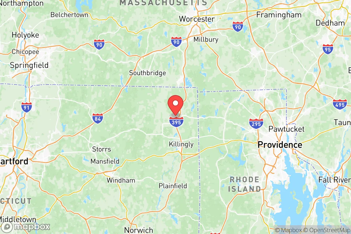
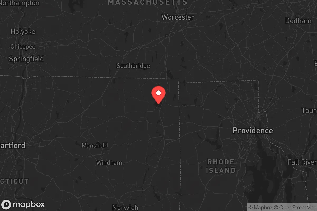
Strategic Assessment of Northeastern Connecticut Planning Region County
Meaningful friction. Expect exposure to either population pressure, blast zones, or natural disaster risk. Consider buying a retreat property.
What does the Strategic Assessment tell us?
Our Strategic Assessment grades tactical survivability of an area. Major population centers, military targets, fallout zones, natural disasters, and border exposure all drive risk — lower exposure means a more defensible position in a crisis.
This is heavily inspired by Joel Skousen's Strategic Relocation book. Highly recommended you checkout the book ($)What does this tell us?
Our Strategic Assessment grades tactical survivability of an area. Major population centers, military targets, fallout zones, natural disasters, and border exposure all drive risk — lower exposure means a more defensible position in a crisis.
This is heavily inspired by Joel Skousen's Strategic Relocation book. Highly recommended you checkout the book ($)Strategic Pillars

Key Distances
Strategic Assessment Analysis
Northeastern Connecticut Planning Region County—often referred to simply as the Quiet Corner—offers a strategic blend of geographic isolation and practical self-sufficiency that appeals to relocators prioritizing disaster readiness and long-term resilience. Unlike coastal or metropolitan areas of the state, this region sits inland, away from major population centers like Hartford (roughly 30 miles west) and Providence, Rhode Island (about 35 miles southeast), reducing exposure to both natural storm surges and man-made fallout risks. The area’s low population density, abundant freshwater resources, and distance from high-value targets make it a credible option for those seeking a defensible, prepared lifestyle without abandoning access to essential services.
Geographic position and natural advantages for disaster preparedness
Northeastern Connecticut’s location within the Thames River Valley and the Quinebaug Highlands provides natural defensive terrain, with rolling hills, dense forests, and numerous small lakes and ponds that limit large-scale access and offer multiple water sources. The region is roughly 50 miles from the Connecticut coast, placing it well outside the storm surge zones of hurricanes like Sandy (2012) or Irene (2011), which caused significant damage in shoreline towns such as New London and Mystic. Key towns in the planning region—including Putnam, Killingly, Thompson, and Woodstock—sit at elevations between 400 and 800 feet, reducing flood risk compared to low-lying areas along the Quinebaug or French Rivers. The area’s proximity to the Natchaug State Forest and Bigelow Hollow State Park provides over 25,000 acres of public land for foraging, hunting, and emergency timber resources. For a relocator, this geography means fewer natural disaster threats than coastal Connecticut, with the added benefit of multiple escape routes via Routes 44, 6, and 395 if evacuation becomes necessary.
Risks, exposures, and proximity to fallout-relevant landmarks
While Northeastern Connecticut avoids the direct fallout risks of major metropolitan areas, it is not entirely free from exposure. The region lies approximately 60 miles from the Millstone Nuclear Power Station in Waterford, Connecticut—a potential target or accident site that could produce a radioactive plume under prevailing westerly winds. However, prevailing winds in the area typically blow from the west and southwest, meaning fallout from Millstone would likely move east over Long Island Sound rather than inland. More concerning is the region’s proximity to Bradley International Airport (about 40 miles southwest), a civilian and military cargo hub that could be a secondary target in a conflict scenario. The Quinebaug River corridor, which runs through Killingly and Putnam, also hosts several small industrial sites, including a former textile mill complex in Putnam that now houses light manufacturing—these are low-value targets but could produce localized chemical hazards if damaged. Natural risks are limited: the area experiences occasional ice storms (like the 2013 event that knocked out power for 10 days in parts of Thompson) and moderate snowfall averaging 50 inches annually, but tornadoes and wildfires are rare. For a relocator, the primary man-made risk is the region’s position within a 100-mile radius of New York City and Boston, meaning it could see refugee flow or supply chain disruptions during a regional crisis.
Practical resilience for a relocator: food, water, energy, and defensibility
Northeastern Connecticut’s practical resilience is strong, particularly for those willing to invest in off-grid infrastructure. The region sits atop the Mashapaug Aquifer, one of the largest groundwater reserves in the state, providing reliable well water for properties outside municipal systems—most rural homes in Woodstock and Eastford already rely on private wells. Surface water is abundant: the Quinebaug River and French River run through the area, and West Thompson Lake (a 200-acre Army Corps of Engineers reservoir) offers a backup water source and fishing. Food resilience is supported by a strong agricultural base: the region has over 150 working farms, including Belltown Hill Orchards in South Woodstock and Pumpkintown Farms in Thompson, which sell directly to locals. The Putnam Farmers Market (May–October) and Killingly’s agricultural commission promote local food networks, and many properties have existing garden space or pasture for livestock. Energy resilience is mixed: the grid is served by Eversource, which has a history of storm-related outages (average 2–3 per year lasting 4–12 hours), but solar adoption is growing, with Thompson Solar and Putnam’s community solar program offering options. Wood heat is common—over 30% of homes in rural parts of the region use wood stoves as a primary or secondary heat source, a significant advantage for winter preparedness. Defensibility is aided by the area’s low population density (roughly 150 people per square mile in Killingly, compared to 740 statewide) and limited road network: most access points are two-lane roads that can be monitored or blocked if needed. However, the region’s open farmland and scattered subdivisions mean it is not naturally defensible like mountainous terrain; a relocator should prioritize properties with tree cover, elevation, and a single access road.
Overall, Northeastern Connecticut Planning Region County presents a balanced strategic picture for the disaster-conscious relocator. It offers genuine geographic advantages—inland elevation, abundant water, and distance from major targets—without the extreme isolation that can make daily life difficult. The region’s practical resilience is above average for the Northeast, particularly in food and water security, but energy independence requires upfront investment. The primary trade-off is proximity to the Boston–New York corridor: while this provides access to medical centers and supply chains, it also introduces refugee and logistical risks during a regional crisis. For a single individual or family willing to invest in solar, well water, and wood heat, the Quiet Corner offers a defensible, self-sufficient base that balances preparedness with livability.

* Values derived from national, state, county, city and local statistics and may differ in a specific area. Last updated: 2026-06-16T22:46:21.000Z
Narrative content on this page is AI-generated and may contain mistakes. Verify any details that matter before acting on them.
ReloMaps may earn a commission from affiliate links at no extra cost to you.

