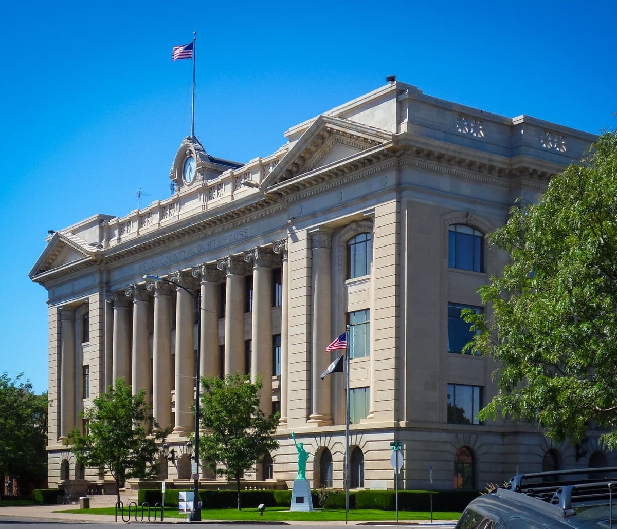
Photo: Wikipedia
Strategic Assessment of Weld County
Workable tactical position. Some exposure to population density or targets, but generally defensible in a crisis.
What does the Strategic Assessment tell us?
Our Strategic Assessment grades tactical survivability of an area. Major population centers, military targets, fallout zones, natural disasters, and border exposure all drive risk — lower exposure means a more defensible position in a crisis.
This is heavily inspired by Joel Skousen's Strategic Relocation book. Highly recommended you checkout the book ($)What does this tell us?
Our Strategic Assessment grades tactical survivability of an area. Major population centers, military targets, fallout zones, natural disasters, and border exposure all drive risk — lower exposure means a more defensible position in a crisis.
This is heavily inspired by Joel Skousen's Strategic Relocation book. Highly recommended you checkout the book ($)Strategic Pillars

Key Distances
Strategic Assessment Analysis
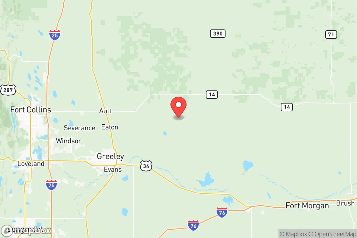
Weld County, Colorado, offers a compelling strategic position for relocators prioritizing resilience and self-sufficiency, anchored by its location on the high plains just northeast of the Denver metro area. The county’s economy is built on agriculture, energy production, and a growing industrial base, providing a degree of economic insulation from the volatility of purely urban markets. For those assessing long-term stability, Weld County’s combination of local food production, energy independence, and distance from major coastal threats makes it a serious contender, though proximity to Denver and several critical infrastructure sites introduces specific risk factors that require careful evaluation.
Geographic position and natural advantages for long-term stability
Weld County sits at the intersection of the South Platte River valley and the high plains, roughly 4,600 to 5,200 feet in elevation, offering a climate that is semi-arid with four distinct seasons. The county’s defining natural advantage is its agricultural capacity: it is one of the top agricultural-producing counties in the United States, with over 1.5 million acres of farmland producing cattle, dairy, corn, sugar beets, and dry beans. Towns like Greeley (the county seat), Windsor, and Fort Lupton are hubs for food processing and distribution, meaning local food supply chains are robust and short. The area also sits atop the Wattenberg Field, a major natural gas formation, providing abundant local energy resources. Water access is managed through the Colorado-Big Thompson Project and local reservoirs like Milton Reservoir and Boyd Lake, though the region is drought-prone and water rights are a critical consideration for any long-term homesteader. The county’s position on the eastern slope of the Rockies means it is largely shielded from the seismic and volcanic risks of the western U.S., and its inland location eliminates hurricane and tsunami exposure.
Risks, exposures, and proximity to fallout-relevant landmarks
While Weld County avoids many coastal and seismic threats, it is not without significant man-made and natural risk factors. The county is home to several high-value industrial and energy targets. The Suncor Energy refinery near Fort Lupton and the Wattenberg Field natural gas infrastructure are potential points of concern for those modeling industrial accidents or targeted disruptions. Additionally, the county lies within the broader Denver metro area’s vulnerability zone; Denver International Airport and the Rocky Mountain Arsenal National Wildlife Refuge (a former chemical weapons manufacturing site) are within 30–50 miles of southern Weld County communities like Brighton and Erie. Natural hazards include severe thunderstorms, hail, tornadoes (the county averages 2–3 tornadoes per year), and occasional blizzards. Wildfire risk is moderate in the eastern plains but increases significantly near the foothills in western Weld County, particularly around Loveland and the Poudre River corridor. Flooding along the South Platte River and its tributaries is a periodic concern, as seen in the 2013 floods that impacted Evans and Milliken.
Practical resilience for a relocator: food, water, energy, and defensibility
For a relocator focused on practical self-sufficiency, Weld County offers strong fundamentals. Food resilience is excellent: the county’s agricultural output means fresh produce, dairy, and meat are available locally year-round, and many small towns host farmers’ markets and CSAs. Water is the primary limiting factor; most residential wells are subject to strict permitting through the Colorado Division of Water Resources, and surface water rights are complex and expensive. Rainwater collection is legal but regulated. Energy resilience is high due to local natural gas production and a growing number of solar installations, though grid reliability in rural areas can be an issue during storms. Defensibility varies widely: the open plains offer long sightlines but little natural cover, while the more rugged terrain near the Roosevelt National Forest boundary in western Weld County provides better concealment and retreat options. The county’s population density is low outside the I-25 corridor, with many unincorporated areas offering acreage and privacy. Community preparedness is uneven; some towns like Windsor have active CERT programs and emergency management, while more remote areas rely on volunteer fire departments and county sheriff response.
The overall strategic picture for Weld County is one of strong baseline resilience tempered by specific, manageable risks. Its agricultural and energy self-sufficiency, inland location, and low population density outside the urban corridor make it one of the more defensible and sustainable areas in the Front Range. However, relocators must account for water scarcity, tornado and hail exposure, and the proximity of industrial and military infrastructure that could become secondary targets in a broader disruption. For those willing to invest in water security, off-grid energy, and a location away from the I-25 corridor and the Denver metro fringe, Weld County represents a solid, grounded choice for long-term preparedness. The key is to choose a specific location carefully—avoiding floodplains, maintaining distance from major industrial sites, and securing water rights before building—while leveraging the county’s inherent agricultural and energy advantages.

* Values derived from national, state, county, city and local statistics and may differ in a specific area. Last updated: 2026-06-23T19:19:41.000Z
Narrative content on this page is AI-generated and may contain mistakes. Verify any details that matter before acting on them.
ReloMaps may earn a commission from affiliate links at no extra cost to you.

