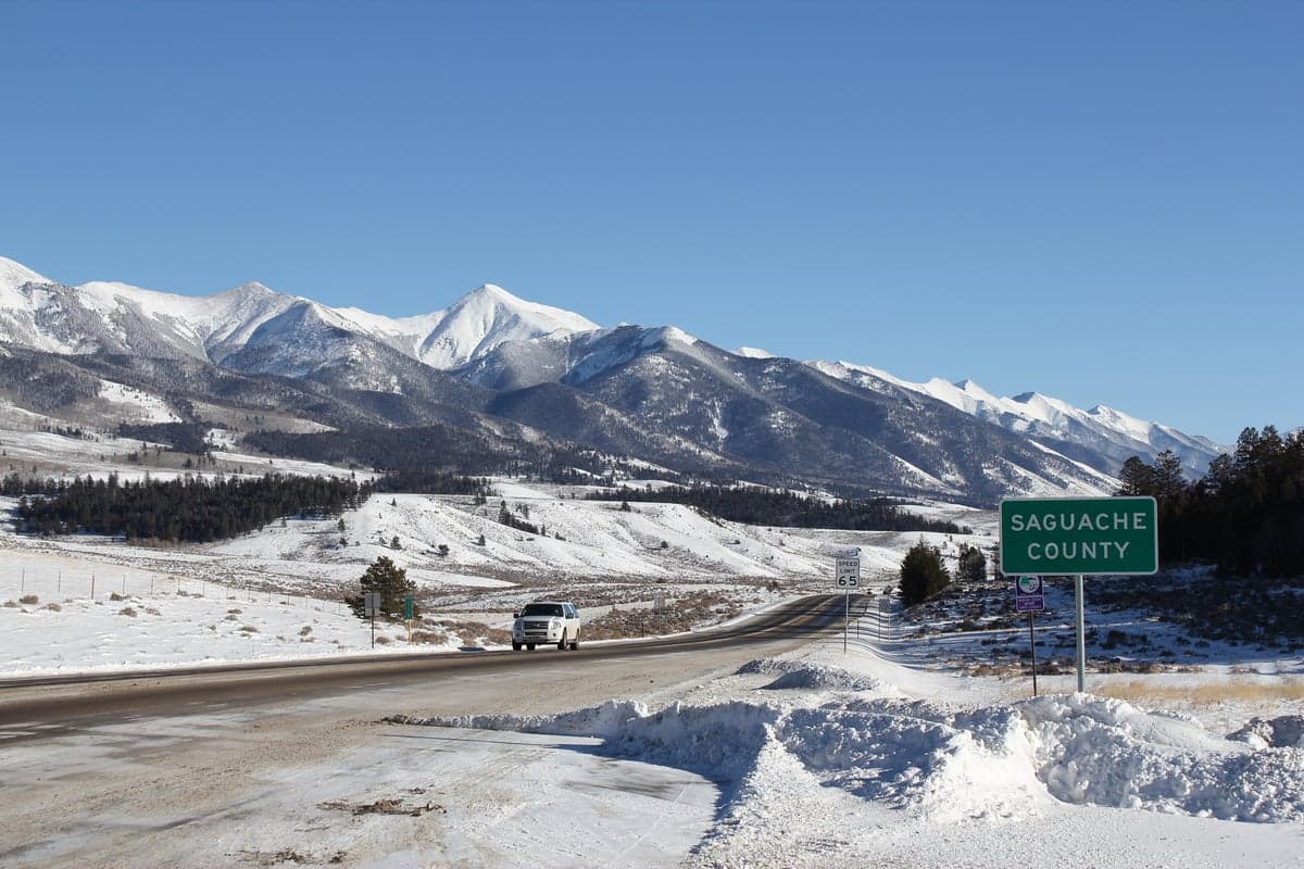
Photo: Wikipedia
Strategic Assessment of Saguache County
Deep buffer from population centers and strategic targets. Low natural disaster risk and minimal exposure to border or coastal threats.
What does the Strategic Assessment tell us?
Our Strategic Assessment grades tactical survivability of an area. Major population centers, military targets, fallout zones, natural disasters, and border exposure all drive risk — lower exposure means a more defensible position in a crisis.
This is heavily inspired by Joel Skousen's Strategic Relocation book. Highly recommended you checkout the book ($)What does this tell us?
Our Strategic Assessment grades tactical survivability of an area. Major population centers, military targets, fallout zones, natural disasters, and border exposure all drive risk — lower exposure means a more defensible position in a crisis.
This is heavily inspired by Joel Skousen's Strategic Relocation book. Highly recommended you checkout the book ($)Strategic Pillars

Key Distances
Strategic Assessment Analysis
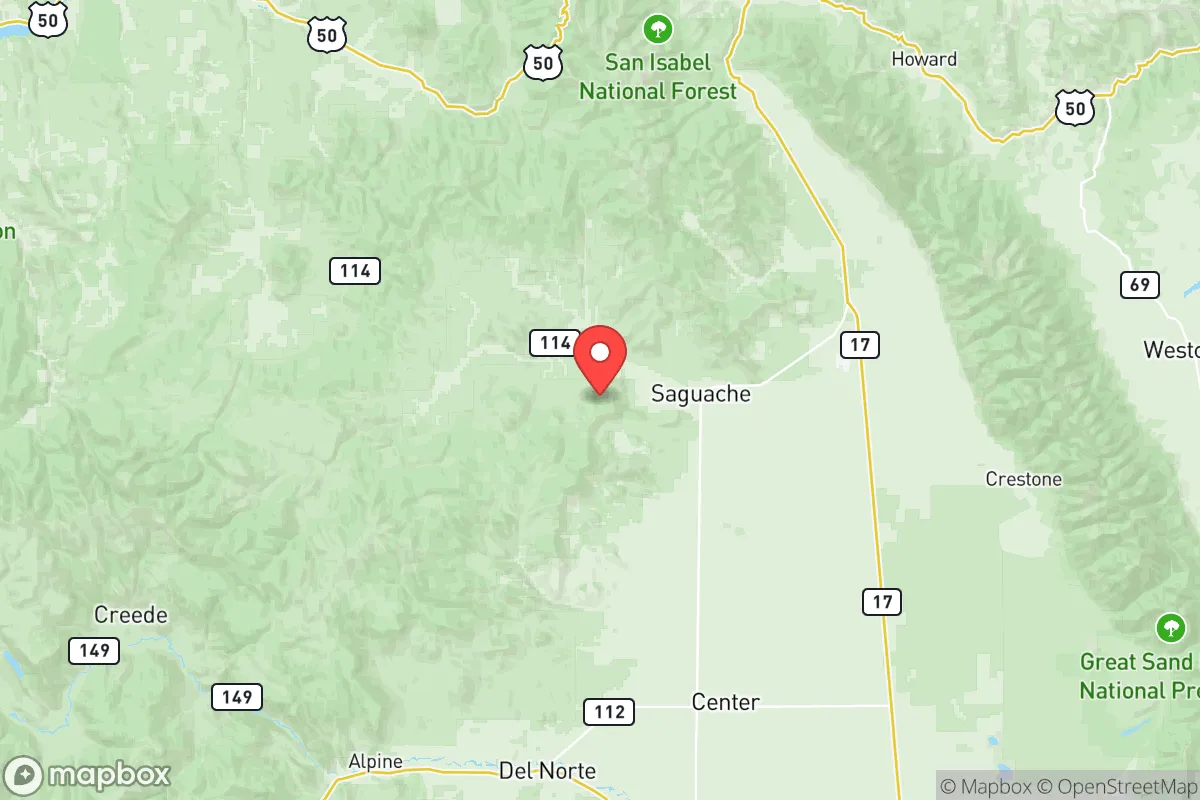
Saguache County, Colorado, offers a compelling strategic profile for those prioritizing resilience and self-sufficiency, anchored by its remote, high-altitude location in the San Luis Valley. The county seat, Saguache (pronounced "suh-watch"), sits roughly 150 miles from the Denver metro area and 100 miles from Colorado Springs, placing it far from the immediate fallout zones of major population centers while remaining accessible via U.S. Highway 285 and State Highway 17. This isolation, combined with a population density of just over one person per square mile, provides a natural buffer against cascading urban disruptions, making it a serious candidate for a relocation focused on long-term preparedness.
Geographic position and natural advantages for self-sufficiency
Saguache County's geography is defined by the vast, high-elevation San Luis Valley, flanked by the Sangre de Cristo Mountains to the east and the San Juan Mountains to the west. The valley floor sits at roughly 7,600 feet, offering a dry, high-desert climate with over 300 days of sunshine annually—a significant advantage for off-grid solar energy generation. The area is bisected by the Rio Grande and its tributaries, including Saguache Creek, which provide reliable surface water for irrigation and domestic use, though water rights are a critical consideration for any relocator. The surrounding national forests and Bureau of Land Management (BLM) tracts, such as the Rio Grande National Forest, offer vast areas for hunting, foraging, and timber, while the valley's agricultural base—centered on potatoes, alfalfa, and barley—means local food production is a reality, not a hypothetical. The town of Center, just south of the county line, is a regional agricultural hub, and the nearby Great Sand Dunes National Park underscores the area's unique, low-population geography. For a relocator, the key advantage is the combination of abundant sunshine, accessible water, and arable land in a region that is far removed from the coastal and industrial corridors that are primary targets in a major disruption scenario.
Risks, exposures, and proximity to fallout-relevant landmarks
While Saguache County is distant from the highest-risk targets, it is not without exposure. The most significant man-made risk comes from the San Luis Valley's role as a major agricultural and transportation corridor, which includes the presence of the U.S. Highway 285 and State Highway 17 routes that connect to the Front Range and New Mexico. These roads could become chokepoints or vectors for population movement during a crisis. More directly, the county lies within 100 miles of the Los Alamos National Laboratory in New Mexico, a primary nuclear research and weapons facility that would be a high-priority target in a conflict. Additionally, the Pueblo Chemical Depot, roughly 120 miles east, stores chemical weapons and is a potential secondary risk. On the natural hazard side, the valley sits atop the Rio Grande Rift, a zone of seismic activity, though major earthquakes are rare. Wildfire risk is moderate, with the dry, windy conditions of the valley floor posing a threat to structures, while the surrounding mountains carry a higher fuel load. Flooding is localized, primarily along the Rio Grande and its tributaries during spring snowmelt. The area's altitude also presents a chronic risk: altitude sickness and reduced oxygen levels affect newcomers, and the harsh winters with temperatures dropping below -20°F require serious preparation for heating and shelter. For a relocator, the primary takeaway is that Saguache County is far from the most likely targets (Denver, Colorado Springs, Cheyenne Mountain, and the Front Range's military-industrial complex), but it is not a zero-risk zone—the Los Alamos proximity is the single most significant man-made exposure to acknowledge.
Practical resilience for a relocator: food, water, energy, and defensibility
For a relocator serious about self-sufficiency, Saguache County offers a strong baseline but demands significant upfront investment. Water is the most critical resource: the valley's shallow aquifer and surface water from the Rio Grande and Saguache Creek are accessible, but water rights are complex and expensive. A property with a senior water right or a well permit is essential; without it, the land is essentially non-arable. The growing season is short (roughly 90-110 frost-free days), limiting crops to cold-hardy varieties like potatoes, quinoa, and certain grains, but the valley's agricultural history proves it is viable. Energy is a clear advantage: the high desert sun provides excellent solar potential, and many off-grid properties already rely on solar panels with battery storage. Wind is also a consistent resource, though less reliable. Propane is the standard backup for heating and cooking, and wood stoves are common for winter heating, given the abundant forested areas in the mountains. Food security is achievable but not automatic: local farmers' markets in Saguache and nearby Center provide fresh produce seasonally, and the area supports livestock grazing, with cattle and sheep operations common. Hunting for elk, mule deer, and pronghorn is a viable protein source, with public land access through the Rio Grande National Forest and BLM holdings. Defensibility is a mixed picture: the valley floor is open and flat, offering long sightlines but little natural cover. The Sangre de Cristo foothills provide more defensible terrain, with properties tucked into canyons or on ridges offering natural chokepoints. The county's low population density means that social cohesion is high in small communities like Saguache, Crestone, and Moffat, but the isolation also means that emergency services are sparse—the county has a single sheriff's office and a small volunteer fire department. For a relocator, the practical resilience equation is: strong on water and energy potential, moderate on food production (with effort), and requiring careful property selection for defensibility. The key is securing a property with a senior water right and a defensible position in the foothills, rather than on the open valley floor.
The overall strategic picture for Saguache County is one of a high-altitude, low-population refuge that balances genuine self-sufficiency potential with real, manageable risks. It is not a bunker—it is a working agricultural region with a harsh climate, a short growing season, and a single significant man-made exposure in Los Alamos. For a relocator who values isolation, abundant sunshine, and access to water and public land, it offers a credible foundation for a resilient lifestyle. The trade-offs are clear: you trade the convenience and security of urban infrastructure for the freedom and responsibility of remote living. The county's small towns—Saguache, Crestone, and Moffat—provide a social fabric that is independent and resourceful, but newcomers must be prepared to invest in their own water, energy, and food systems. For a conservative-leaning audience focused on preparedness, Saguache County is a serious, if demanding, option—one that rewards preparation and self-reliance with a genuinely defensible and sustainable position in the American West.

* Values derived from national, state, county, city and local statistics and may differ in a specific area. Last updated: 2026-07-20T00:50:21.000Z
Narrative content on this page is AI-generated and may contain mistakes. Verify any details that matter before acting on them.
ReloMaps may earn a commission from affiliate links at no extra cost to you.

