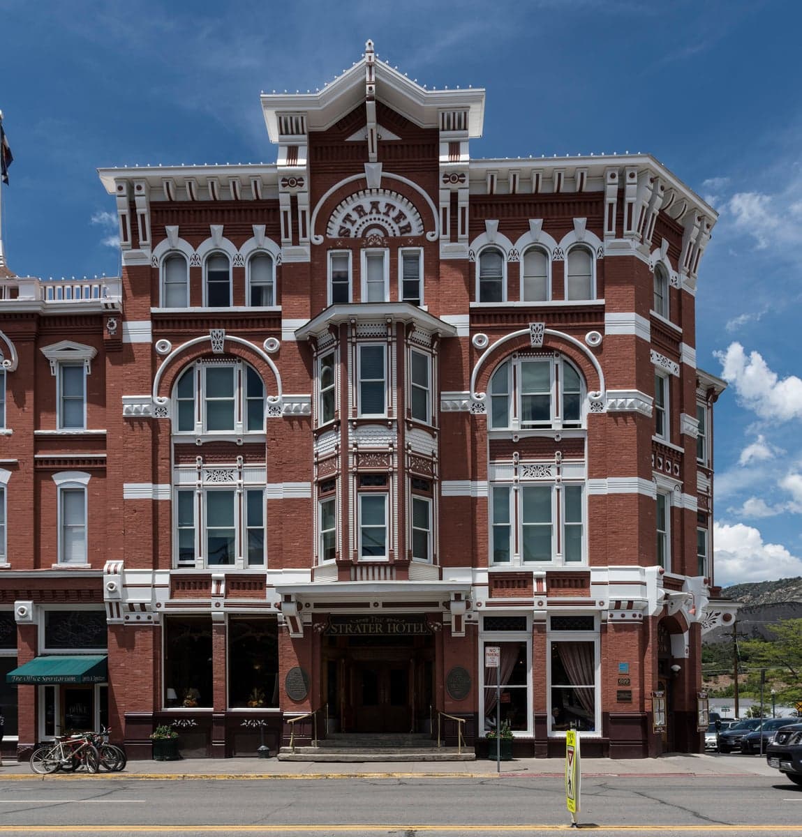
Photo: Wikipedia
Strategic Assessment of La Plata County
Strong survivability profile. Good buffer from population centers, with manageable environmental and tactical risks.
What does the Strategic Assessment tell us?
Our Strategic Assessment grades tactical survivability of an area. Major population centers, military targets, fallout zones, natural disasters, and border exposure all drive risk — lower exposure means a more defensible position in a crisis.
This is heavily inspired by Joel Skousen's Strategic Relocation book. Highly recommended you checkout the book ($)What does this tell us?
Our Strategic Assessment grades tactical survivability of an area. Major population centers, military targets, fallout zones, natural disasters, and border exposure all drive risk — lower exposure means a more defensible position in a crisis.
This is heavily inspired by Joel Skousen's Strategic Relocation book. Highly recommended you checkout the book ($)Strategic Pillars

Key Distances
Strategic Assessment Analysis
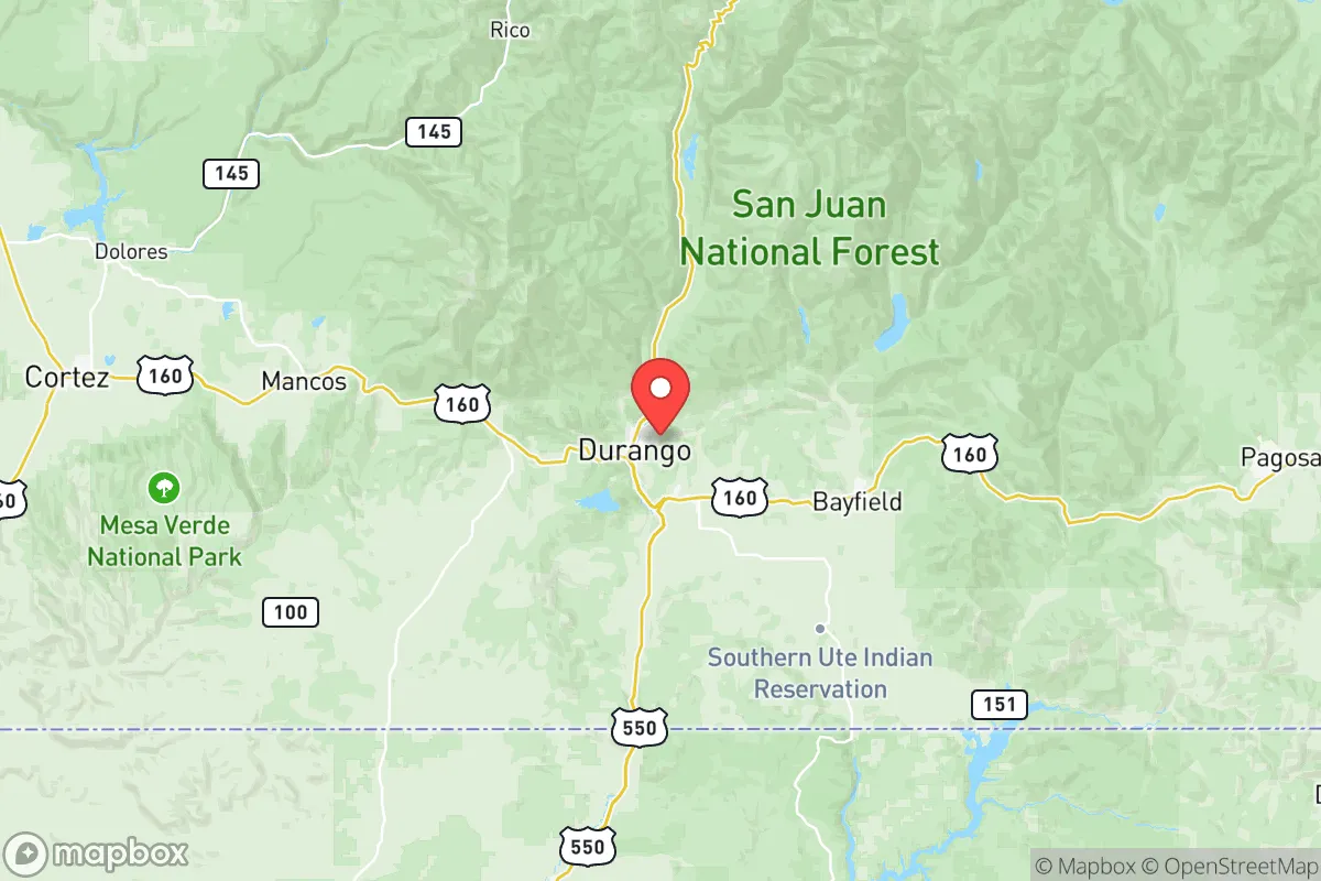
La Plata County, Colorado, anchors the Four Corners region with a combination of high-altitude geography and relative distance from major metropolitan targets that makes it a frequent subject of relocation consideration for disaster-preparedness minded individuals. Its county seat of Durango sits about 350 miles southwest of Denver, and the county itself is flanked by the San Juan National Forest to the north and the Ute Mountain Ute Reservation to the west, offering a natural buffer zone. This positioning, coupled with an elevation ranging from roughly 6,500 feet in the Animas Valley to over 13,000 feet in the Weminuche Wilderness, provides a distinct strategic advantage for those prioritizing geographic insulation and resource security.
Geographic position and natural defensive advantages for relocation
La Plata County's primary resilience asset is its formidable physical geography. The county is effectively walled by the San Juan Mountains, with the major access corridors being US-160 (east-west) and US-550 (north-south). These are high-altitude routes subject to seasonal closure, which, while logistically inconvenient for daily commutes, creates a significant natural defensibility for the area in a crisis scenario. The county's interior valleys, including the Animas Valley around Durango and the valleys near Bayfield and Ignacio, sit in a basin protected by ridgelines, making them less visible from major traffic routes and harder to approach without local knowledge. The area's 2.5 million acres of adjacent National Forest and wilderness provide a massive backcountry buffer zone that is difficult for any large-scale movement to traverse. This kind of rugged, compartmentalized terrain is a considerable strategic asset for a relocator seeking a safehold rather than a traffic hub.
Exposure to natural hazards and proximity to regional risks
No location is risk-free, and La Plata County has specific exposures that must be weighed. The most acute natural hazard is wildfire. The 2002 Missionary Ridge Fire and the 2018 416 Fire both directly threatened Durango and forced large-scale evacuations, burning close to the city limits. The county's wildland-urban interface (WUI) areas, particularly around Durango West and the subdivisions along Florida Road and Junction Creek, are at high risk. Flash flooding is a secondary concern, especially after burn scars become hydrophobic, as seen post-416 Fire. For man-made risks, the area is notably distant from major strategic targets. There are no large military bases (Fort Carson is ~250 miles east), no major refineries, and no nuclear power plants within a 150-mile radius. The nearest significant industrial risk is the Four Corners Power Plant and the San Juan Generating Station near Farmington, New Mexico, about 30 miles southwest of Durango—a notable but not eradicating proximity. Fallout risk from a strategic strike on the Front Range urban corridor (Denver, Colorado Springs) is negligible due to distance and prevailing wind patterns blowing from west to east. The primary man-made risk is localized disruption to the region's narrow supply chain corridors.
Practical self-sufficiency: food, water, energy, and community viability
For the relocator serious about resilience, La Plata County presents a mixed but largely favorable picture. Water is the county's strongest card: the Animas River, flowing year-round from mountain snowpack, provides a reliable surface water source for Durango and the surrounding areas. Groundwater is available in the Animas Valley but is more limited in the upland areas. This contrasts sharply with Colorado's Front Range, which relies on trans-basin diversions. For food resilience, the growing season is short (90-110 days in the valley bottoms, higher in the San Juan Basin), making traditional agriculture challenging but not impossible. The county's agricultural sector is centered on hay, cattle, and some small-scale vegetable production around Ignacio. Local food production is not sufficient to support the current population of roughly 57,000 in a prolonged disruption, but the availability of hunting licenses for elk and deer in the San Juan National Forest provides a substantial protein buffer. Energy resilience is decent: La Plata County is part of the Western Area Power Administration grid, which is hydro-heavy, but local propane, firewood, and small-scale solar are viable options in the rural subdivisions. The county seat of Durango itself is a functional small city with a hospital (Mercy Regional Medical Center), a major grocery distribution center, and hardware stores—critical infrastructure that functions as a regional hub for much of the less-populated Four Corners area. The county's defensibility is not zero-maintenance; it requires a plan for securing approach roads and establishing perimeter awareness, but the terrain makes this more feasible than in open plains or suburban sprawl.
The overall strategic picture for La Plata County is one of strong geographic insulation paired with a realistic set of maintenance challenges. It is not a hard-reset location independent of external supply chains, but it offers one of the better balances of remoteness and functional infrastructure in the Intermountain West. The trade-offs—limited growing season, wildfire risk, and a single-point-of-failure supply corridor along US-550 and US-160—are manageable for a relocator with a solid prepping mindset and a willingness to live at altitude. For an individual or family looking to trade urban vulnerability for a defensible, resource-adequate base of operations, La Plata County ranks as a serious candidate, provided the wildfire mitigation and winter access planning are addressed before day one of occupancy.

* Values derived from national, state, county, city and local statistics and may differ in a specific area. Last updated: 2026-06-25T08:18:32.000Z
Narrative content on this page is AI-generated and may contain mistakes. Verify any details that matter before acting on them.
ReloMaps may earn a commission from affiliate links at no extra cost to you.

