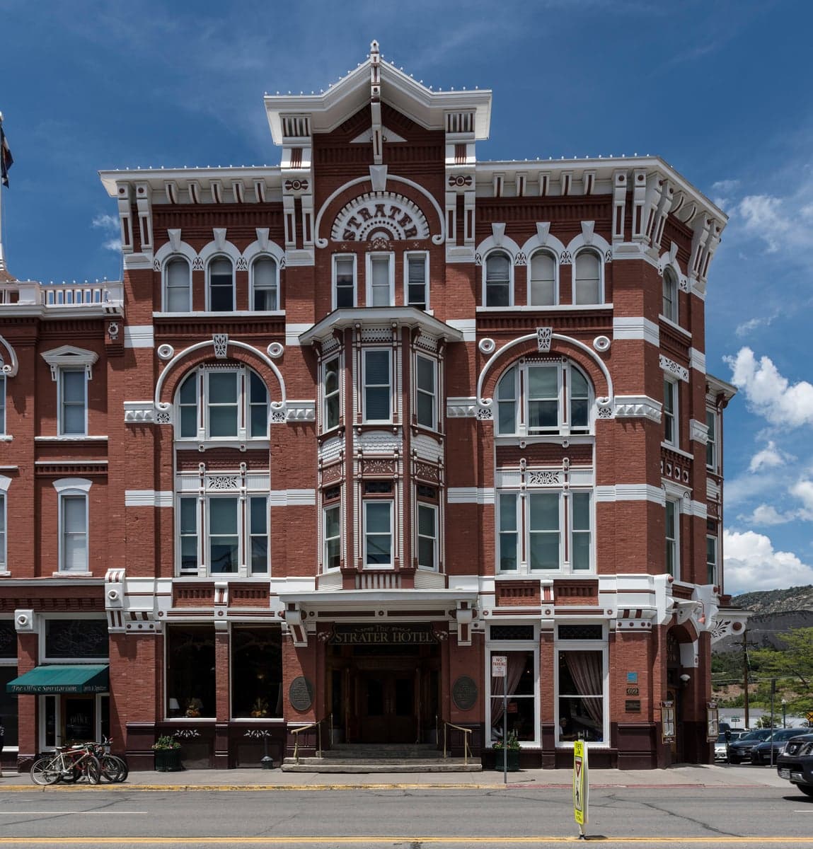
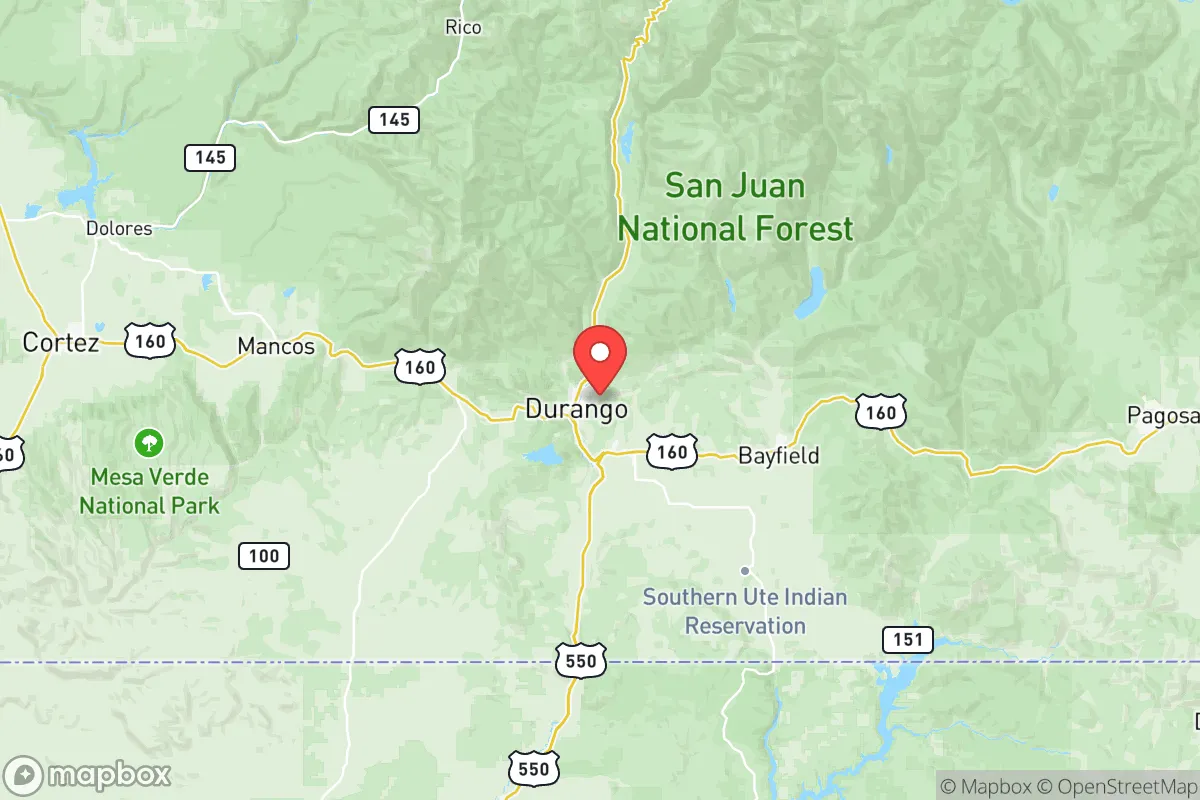
Photo: Wikipedia
Demographics of La Plata County
Affluence Level in La Plata County
A middle-class area roughly in line with national averages across income, home values, education, and employment.
People of La Plata County
The people of La Plata County, Colorado, number just over 56,000, forming a predominantly white, college-educated population concentrated in the county’s only city, Durango, and the smaller towns of Bayfield and Ignacio. With 76.6% of residents identifying as white and 12.7% as Hispanic, the county is notably less diverse than Colorado as a whole, and its foreign-born population of just 1.2% is the lowest among Colorado’s urban-adjacent counties. The area’s identity is shaped by a blend of Old West ranching heritage, a strong outdoor recreation economy, and the sovereign presence of the Southern Ute Indian Tribe, whose reservation occupies the southern quarter of the county.
Settlement & growth (pre-1960)
The human history of La Plata County begins with the Ute people, who occupied the San Juan Mountains and the river valleys for centuries before European contact. The Ute bands—primarily the Muache, Capote, and Weeminuche—used the area as seasonal hunting and fishing grounds, with permanent settlements concentrated along the Animas River and the Los Pinos River. Spanish exploration under Juan de Oñate touched the region in the early 1600s, but no permanent Spanish settlements were established within what is now La Plata County. The 1868 Brunot Treaty formally ceded most Ute lands to the U.S. government, and the Southern Ute Indian Reservation was created in 1873, confining the tribe to a 1,100-square-mile tract along the New Mexico border. Today, the Southern Ute Indian Tribe’s headquarters are in Ignacio, a town of roughly 700 residents on the reservation, where tribal governance and energy royalties from natural gas drive the local economy.
The first non-Native settlers arrived in the 1870s, drawn by the discovery of gold and silver in the San Juan Mountains. Prospectors and miners poured into the region, establishing boomtowns like Silverton (just north of the county line) and smaller camps within La Plata County such as Parrott City and Animas City. The Denver & Rio Grande Railroad reached the Animas Valley in 1881, and the town of Durango was founded that same year as a railroad hub for mining supplies and ore transport. Early residents were predominantly Anglo-American from the Midwest and East Coast, with a significant number of Cornish and Irish miners who had worked the copper and tin mines of Michigan and Pennsylvania before moving west. By 1880, the county’s population was already above 5,000, almost entirely white and native-born.
The decline of hard-rock mining after the 1893 Silver Crash sent the county into decades of economic stagnation. Ranching and agriculture, primarily in the fertile valleys around Bayfield and Hesperus, became the mainstay. Spanish-speaking settlers from northern New Mexico, many of them Hispano families with roots in the 16th-century Spanish land grants, migrated into the area for ranch work, establishing small communities like Florida (a census-designated place south of Durango) and La Posta. These families formed the core of what is now the county’s Hispanic population, though their numbers remained modest. By 1940, the county’s population had only reached about 16,000, and it remained a quiet, rural backwater until the post-war era.
Modern era (post-1965)
The 1965 Hart-Cellar Act had almost no direct impact on La Plata County’s demographics, given its negligible foreign-born population. Instead, the county’s modern transformation was driven by domestic migration—specifically, the rise of the outdoor recreation economy and the environmental movement. The construction of the Purgatory Resort (now Purgatory Ski Resort) in the 1960s, the founding of Fort Lewis College in Durango in 1964, and the growing national popularity of the San Juan Mountains as a hiking, mountain biking, and river-rafting destination attracted a steady stream of educated, relatively affluent migrants from California, the Pacific Northwest, and the Front Range of Colorado. This wave was largely white and often described as “amenity migrants”—people moving for lifestyle rather than employment.
The county’s Hispanic population grew from roughly 5% in 1970 to 12.7% today, driven by natural increase and continued migration from northern New Mexico and Mexico, particularly into service and construction jobs in Durango and Bayfield. However, the Black population remains minuscule at 0.2%, and East/Southeast Asian communities account for just 0.7%, concentrated among university faculty at Fort Lewis College and medical professionals in Durango. The Indian-subcontinent population is essentially zero. The county’s foreign-born share of 1.2% is a fraction of the state average of 9.7%, making it one of the least immigrant-intensive counties in Colorado.
Suburbanization has been limited by the county’s rugged topography. Growth has concentrated in and around Durango, with the city’s population rising from about 10,000 in 1970 to over 19,000 today. Bayfield, to the east, has emerged as a bedroom community for Durango, growing from a village of 600 in 1990 to over 2,300 today. Ignacio, by contrast, has grown slowly, with much of the reservation population living in outlying homes rather than within the town limits. The county remains overwhelmingly white (76.6%) and, notably, 47.3% of adults hold a bachelor’s degree or higher—far above the national average and a marker of the area’s professional and outdoor-amenity demographic.
The future
La Plata County’s population is projected to grow slowly, reaching roughly 60,000 by 2035, driven almost entirely by domestic in-migration of white, college-educated professionals and retirees. The county’s housing shortage, with median home prices in Durango exceeding $700,000, will continue to price out younger families and lower-income workers, reinforcing the area’s character as a relatively affluent, homogeneous enclave. The Hispanic population is expected to grow modestly as a share, but from a low base, and will likely remain concentrated in lower-cost areas such as the outskirts of Durango and the unincorporated valleys around Florida and La Posta. The Southern Ute Tribe’s population is expected to remain steady or decline slightly, as many tribal members move to larger urban areas for employment.
The county is not becoming more diverse in any meaningful sense. The white non-Hispanic share will likely stay above 70% for the foreseeable future. The cultural identity of the area is evolving from a ranching-and-mining past to a recreation-and-retirement present, but the demographic character—overwhelmingly white, native-born, college-educated, and outdoor-oriented—remains largely unchanged. For someone moving in now, La Plata County offers a community where political and cultural homogeneity is the norm, and where the pace of change is slow enough that newcomers can feel integrated quickly, provided they share the area’s values around land use, recreation, and local autonomy.
This is a place that has become more like its present character, not less: a stable, low-diversity, high-amenity county where the population is shaped by choice rather than by global migration. A relocating family or individual should expect a social environment that is educated, outdoors-focused, and largely white—a deliberate community of people who have selected this corner of Colorado for its landscape, not its multiculturalism.

* Values derived from national, state, county, city and local statistics and may differ in a specific area. Last updated: 2026-06-25T08:18:32.000Z
Narrative content on this page is AI-generated and may contain mistakes. Verify any details that matter before acting on them.
ReloMaps may earn a commission from affiliate links at no extra cost to you.

