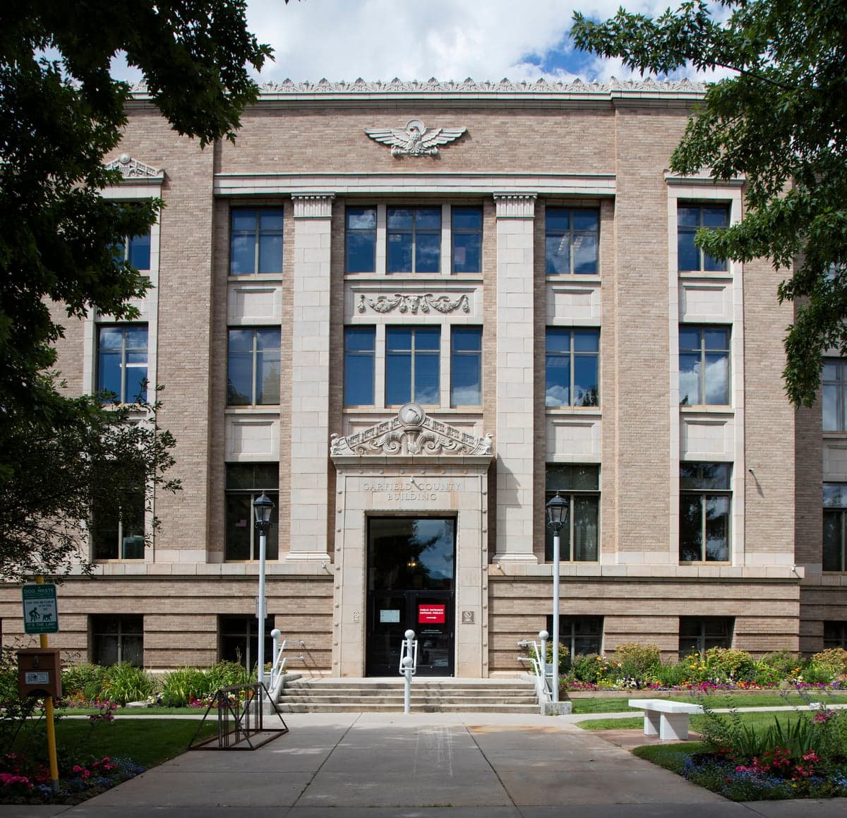
Photo: Wikipedia
Demographics of Garfield County
Affluence Level in Garfield County
A middle-class area roughly in line with national averages across income, home values, education, and employment.
People of Garfield County
The people of Garfield County, Colorado, today number 62,034, a population shaped by a century of resource extraction, Hispanic settlement, and recent amenity-driven migration. The county is notably less diverse than the state as a whole, with a 62.6% white and 32.0% Hispanic composition, and a foreign-born share of 8.5% that is below Colorado’s 10.1% average. Its character is defined by a working-class energy economy centered on Rifle, Silt, and Parachute, alongside a growing tourism and second-home corridor in Glenwood Springs and Carbondale. The county’s identity is a blend of Western ranching heritage, a strong Hispanic presence dating to the early 1900s, and a newer wave of remote workers and outdoor recreationists.
Settlement & growth (pre-1960)
Before American settlement, the Ute people—specifically the Uintah and White River bands—controlled the entire Colorado River valley that now forms Garfield County. The Utes were forcibly removed to reservations in Utah after the Meeker Massacre of 1879, a conflict triggered by federal attempts to force the Ute onto farming. The county was formally created in 1883 from parts of Summit County, named for President James A. Garfield, and the first permanent non-Native settlers were Anglo-American ranchers and miners drawn by the promise of cattle grazing and coal deposits.
The first major population wave arrived with the railroad. The Denver and Rio Grande Western Railroad reached Glenwood Springs in 1887, turning the hot springs into a resort town and opening the valley to coal mining. Between 1880 and 1910, the county’s population grew from roughly 1,000 to over 7,000, with most settlers being Anglo-American migrants from the Midwest and Great Plains. Coal camps like New Castle, Cardiff, and Spring Gulch drew a mix of native-born whites and European immigrants—primarily Italian, Slavic, and Welsh miners—who worked the underground seams that fed the railroad. By 1910, Glenwood Springs had become the county seat and commercial hub, while Rifle and Silt emerged as agricultural service centers for dryland wheat and cattle.
The second major wave was Hispanic. Beginning in the 1910s and accelerating through the 1940s, Mexican and Mexican-American laborers arrived to work the sugar beet fields of the Grand Valley and the railroad maintenance camps along the Colorado River. Unlike the mining towns, which were largely Anglo, these workers settled in distinct barrios in Glenwood Springs, Carbondale, and Rifle. The Hispanic population remained small—under 10% through 1950—but established a permanent presence that would grow dramatically after 1970. The Dust Bowl of the 1930s brought a smaller wave of Anglo “Okies” from Oklahoma and Texas, who took up ranching and farm labor, but the county’s population actually declined during the Depression, falling to 6,000 by 1940.
Post-World War II, the county saw a modest boom driven by oil shale speculation. The U.S. Bureau of Mines and private companies began exploring the vast oil shale deposits in the Piceance Basin east of Rifle, drawing engineers and construction workers. By 1960, the population had reached 12,000, with Glenwood Springs and Rifle each holding about 3,000 residents. The county remained overwhelmingly white (over 95%) and rural, with no incorporated town exceeding 5,000 people.
Modern era (post-1965)
The 1965 Hart-Cellar Act had a limited direct effect on Garfield County, as the region did not attract the large-scale immigrant flows seen in Denver or the Front Range. Instead, the county’s modern demographic transformation has been driven by two domestic forces: the energy boom of the 1970s–2000s and the amenity migration of the 1990s–2020s. The Hispanic share of the population rose from 5% in 1970 to 32% by 2020, driven primarily by natural increase and continued migration from Mexico and the American Southwest, not by post-1965 immigration from Asia or Africa. Today, the Hispanic population is concentrated in Rifle (where it approaches 40%), Carbondale (35%), and the unincorporated communities of Silt and Parachute. The Asian population remains tiny at 0.8%, with a small cluster of Filipino and Vietnamese families in Glenwood Springs working in hospitality and healthcare. The Indian-subcontinent population is effectively zero.
The oil shale boom of the 1970s and early 1980s brought a massive influx of Anglo workers from Texas, Oklahoma, and the Gulf Coast. Exxon’s Colony Oil Shale Project near Parachute drew over 10,000 workers at its peak, turning the town from a ranching hamlet of 300 into a boomtown of 4,000. When Exxon pulled out in 1982—the “Black Sunday” that collapsed the local economy—Parachute lost half its population within a year. The bust left a legacy of distrust toward outside developers and a lingering working-class identity. The natural gas boom of the 2000s revived the region, with Rifle and Silt seeing a new wave of workers from Texas and the Dakotas, many of whom stayed after the boom subsided. This period also saw the first significant influx of college-educated migrants from the Front Range and California, drawn by lower housing costs and outdoor recreation. Glenwood Springs and Carbondale became destinations for second-home buyers and remote workers, pushing housing prices up and shifting the county’s political leanings slightly leftward, though the county as a whole remains conservative.
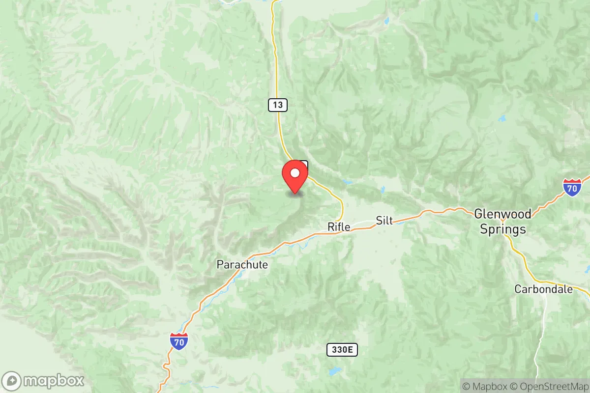
Suburbanization has been limited by geography. The narrow Colorado River valley constrains development, so growth has been linear along the I-70 corridor rather than sprawling outward. New subdivisions have appeared in West Glenwood, South Rifle, and the Silt Mesa area, but the county remains one of the least densely populated in Colorado at 14 people per square mile. The college-educated share has risen to 33.4%, driven by the Glenwood Springs–Carbondale corridor, while Rifle and Parachute remain majority high-school-educated.
The future
Garfield County is becoming slightly more diverse, but the change is slow. The Hispanic share is projected to reach 35–38% by 2040, driven by higher birth rates and continued migration from the Southwest, while the white share will decline to the mid-50s. The Asian and Black populations will remain negligible, as the county lacks the job base and ethnic infrastructure to attract significant new immigrant groups. The Indian-subcontinent population will likely stay near zero. The most significant demographic trend is the continued bifurcation between the amenity corridor (Glenwood Springs, Carbondale) and the energy corridor (Rifle, Silt, Parachute). The former is attracting younger, college-educated, and more liberal residents, while the latter remains older, less educated, and more conservative. This cultural divide is likely to deepen as housing costs in Glenwood Springs push lower-income families—disproportionately Hispanic—into Rifle and Silt.
The next 10–20 years will see modest population growth, likely reaching 70,000 by 2040, driven by natural increase and continued domestic migration from the Front Range and out-of-state. The county will remain majority-white but with a growing Hispanic plurality in the eastern half. The energy sector will continue to dominate the economy, but tourism and remote work will grow as a share of employment, potentially accelerating the cultural divide. The county’s identity will remain Western and resource-oriented, but with an increasingly visible Hispanic cultural presence, particularly in food, festivals, and language.
For someone moving in now, Garfield County offers a choice between two distinct communities: the outdoor-recreation, amenity-rich world of Glenwood Springs and Carbondale, or the working-class, energy-driven towns of Rifle and Silt. The county is not becoming a melting pot—it is becoming a place where two different Americas live side by side along the same river valley. New residents should expect a conservative-leaning, resource-extraction culture in the east and a more liberal, tourism-oriented culture in the west, with the Hispanic population bridging both worlds. The county’s future is one of slow, steady growth, cultural persistence, and a deepening divide between the haves and have-nots of the new Western economy.

* Values derived from national, state, county, city and local statistics and may differ in a specific area. Last updated: 2026-07-18T14:02:29.000Z
Narrative content on this page is AI-generated and may contain mistakes. Verify any details that matter before acting on them.
ReloMaps may earn a commission from affiliate links at no extra cost to you.

