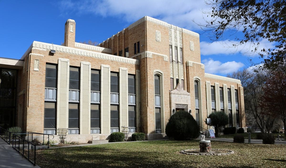
Photo: Wikipedia
Strategic Assessment of Chaffee County
Strong survivability profile. Good buffer from population centers, with manageable environmental and tactical risks.
What does the Strategic Assessment tell us?
Our Strategic Assessment grades tactical survivability of an area. Major population centers, military targets, fallout zones, natural disasters, and border exposure all drive risk — lower exposure means a more defensible position in a crisis.
This is heavily inspired by Joel Skousen's Strategic Relocation book. Highly recommended you checkout the book ($)What does this tell us?
Our Strategic Assessment grades tactical survivability of an area. Major population centers, military targets, fallout zones, natural disasters, and border exposure all drive risk — lower exposure means a more defensible position in a crisis.
This is heavily inspired by Joel Skousen's Strategic Relocation book. Highly recommended you checkout the book ($)Strategic Pillars

Key Distances
Strategic Assessment Analysis
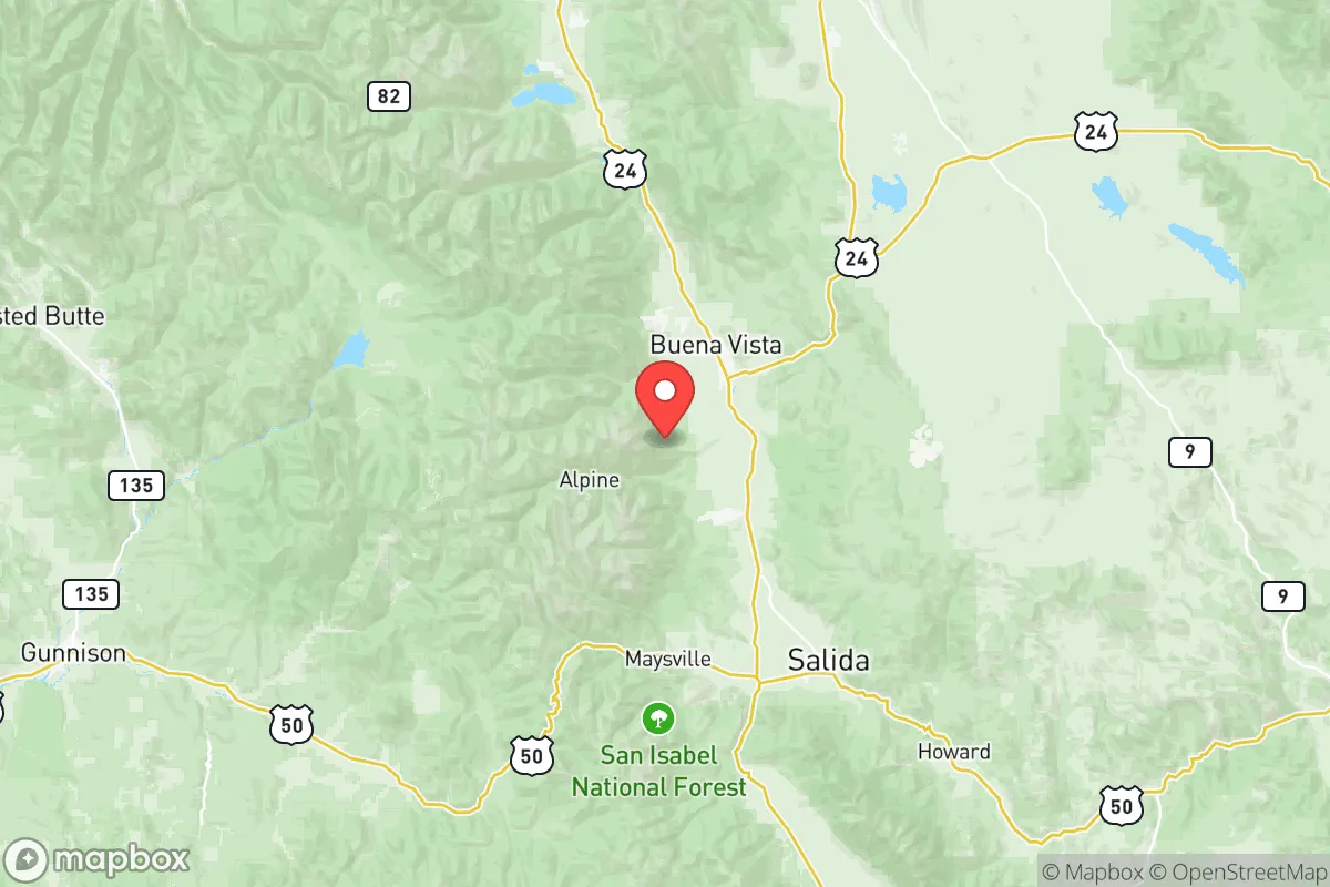
Chaffee County, anchored by the towns of Salida, Buena Vista, and Poncha Springs, offers a compelling strategic position for those seeking a higher degree of disaster resilience and self-sufficiency in the central Rockies. Its location in the Upper Arkansas River Valley provides a natural buffer, sitting roughly equidistant from Denver to the northeast (about 120 miles) and the Colorado Springs-Front Range urban corridor to the east. This distance, combined with the protection of the Sangre de Cristo and Mosquito mountain ranges, places it far enough from major population centers and primary geopolitical targets to mitigate immediate fallout risks, while still being accessible enough for practical relocation. For the conservative-leaning reader prioritizing preparedness and independence, Chaffee County’s geography, core infrastructure, and relatively low-key profile present a serious, defensible option worth a close look.
Geographic position and natural advantages for self-sufficiency
Chaffee County’s natural assets start with its water supply. The Arkansas River runs through the heart of the county, providing a reliable surface water source that is less contested than Front Range supplies. This river is fed by high-altitude snowpack in the Collegiate Peaks, which includes Mount Harvard and Mount Yale, ensuring annual recharge in most years. The county’s elevation—Salida sits at 7,083 feet, Buena Vista at 7,965 feet—means summer temperatures are mild, reducing cooling demands, though winters are cold. The surrounding U.S. Forest Service and Bureau of Land Management (BLM) lands, comprising hundreds of thousands of acres of public domain, offer potential for hunting, foraging, and timber resources, but note that private landholdings are limited and the county is dominated by federal ownership, which can restrict independent resource use. The terrain provides natural defensibility: the mountain passes on U.S. 285 and U.S. 50 can be monitored or blocked, creating chokepoints against large-scale movement from the Front Range. However, there are only two primary roads into the county (U.S. 50 east-west and U.S. 285 north-south), which also means that evacuation or resupply during a major event could be bottlenecked, especially if either pass gets blocked by weather or debris.
Risks, exposures, and proximity to fallout-relevant landmarks
The county’s greatest resilience asset—its isolation—is also its vulnerability. Chaffee County is not close to any major military bases, nuclear power plants, or large-scale industrial targets that would draw a direct strike in a conflict scenario. The nearest significant military installation is the U.S. Air Force Academy near Colorado Springs, roughly 100 miles east, and Fort Carson is about 110 miles. Peterson Space Force Base and the Cheyenne Mountain complex are about the same distance. While these are strategic targets, prevailing winds tend to blow eastward, meaning radioactive fallout from a strike on the Front Range would likely disperse toward the plains and away from the mountains. However, an attack on the Denver metro area (home to the Denver Federal Center, Buckley Space Force Base, and regional leadership nodes) could produce secondary fallout that drifts southward into South Park and potentially over the Mosquito Range, though modeling suggests particulate would attenuate significantly before reaching the Arkansas Valley. The real risk is not direct blast or initial fallout, but the secondary effects: refugees fleeing the Front Range into the mountains. U.S. 285 and U.S. 50 serve as major east-west conduits, and in a crisis, tens of thousands of people could pour through Poncha Springs and Salida. The county’s population of about 21,000 (as of 2024 estimates) would be vastly outnumbered, straining food, fuel, medical supplies, and security. The very limited road network makes the county a potential dead-end, as Chaffee County has no major airports or rail lines capable of moving large numbers of people out.
Practical resilience for a relocator: food, water, energy, and defensibility
For a relocator serious about self-sufficiency, Chaffee County requires deliberate preparation. Water is the county’s strongest card. The Arkansas River and its tributaries (such as the South Arkansas River near Salida and Cottonwood Creek near Buena Vista) provide year-round flow. Groundwater is available, but shallow aquifers are limited; most private wells tap into fractured bedrock and can be expensive to drill (often climbing over $20,000). Surface water rights are fully appropriated and complex—buying a property with an existing water right is essential. Rainwater catchment for non-potable uses is legal in Colorado under HB 16-1005, but only up to 2,500 gallons of storage tank capacity for residential properties. Food production is challenging. The growing season is short, typically 80–100 days, and altitude limits crop options. Cool-season crops like potatoes, kale, and root vegetables do well, but corn, tomatoes, and heat-loving crops are marginal. Soils are thin and rocky; successful gardening requires raised beds and season-extending methods like hoop houses. Local livestock is possible—hay is grown in the valley bottom—but winter feeding is costly. Energy independence is achievable but capital-intensive. Solar insolation is high due to the altitude and low humidity (averaging 5.5 peak sun hours per day). Many off-grid properties use solar-plus-battery setups, but snow and deep winter overcast can reduce generation for days. Wood heating is common and effective; the county has active firewood permits on public lands, but cutting requires permits and labor. Defensibility is situation-dependent. Properties along the valley floor (Salida’s downtown corridor, Buena Vista’s north end) are visible and accessible. True defensibility demands a property with topographic isolation—a side canyon or ridgeback property with a single access road, good line of sight, and a defensible perimeter. The adjoining Chaffee County Sheriff’s Office is professional and well-regarded, but in a prolonged collapse, law enforcement would prioritize Salida and Buena Vista over remote residences.
Overall, Chaffee County grades out as a strong secondary relocation target for the resilience-minded relocator, not a primary fortress. Its real advantage is its water, relative isolation from primary targets, and supportive small-town culture that values self-reliance. But the shortage of prime farmland, limited road redundancy, and the very real risk of being overwhelmed by refugees from the Front Range are strategic liabilities that cannot be ignored. For a single individual or family willing to invest in off-grid infrastructure, cultivate their own food in a short-season environment, and have a solid mutual-aid plan for the region, Chaffee County offers a defensible, beautiful, and resilient corner of Colorado. It is not a bug-out location for a week—it is a permanent lifestyle choice that demands hard work. For those willing to commit, it may be one of the better bets in the central Rockies.

* Values derived from national, state, county, city and local statistics and may differ in a specific area. Last updated: 2026-06-29T00:13:28.000Z
Narrative content on this page is AI-generated and may contain mistakes. Verify any details that matter before acting on them.
ReloMaps may earn a commission from affiliate links at no extra cost to you.

