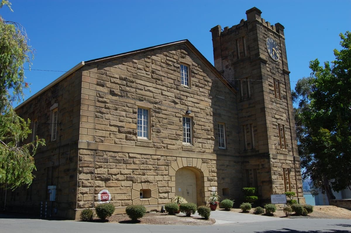
Photo: Wikipedia
Strategic Assessment of Solano County
Meaningful friction. Expect exposure to either population pressure, blast zones, or natural disaster risk. Consider buying a retreat property.
What does the Strategic Assessment tell us?
Our Strategic Assessment grades tactical survivability of an area. Major population centers, military targets, fallout zones, natural disasters, and border exposure all drive risk — lower exposure means a more defensible position in a crisis.
This is heavily inspired by Joel Skousen's Strategic Relocation book. Highly recommended you checkout the book ($)What does this tell us?
Our Strategic Assessment grades tactical survivability of an area. Major population centers, military targets, fallout zones, natural disasters, and border exposure all drive risk — lower exposure means a more defensible position in a crisis.
This is heavily inspired by Joel Skousen's Strategic Relocation book. Highly recommended you checkout the book ($)Strategic Pillars

Key Distances
Strategic Assessment Analysis
Solano County offers a compelling strategic position for relocators prioritizing disaster readiness and self-sufficiency, balancing proximity to major economic hubs with a buffer from their most acute risks. Located midway between San Francisco and Sacramento, the county’s geography provides natural advantages—access to the Sacramento River Delta, the Coast Range foothills, and a climate that supports year-round agriculture—while keeping residents outside the immediate blast or fallout zones of major military installations and industrial targets. For a conservative-leaning audience weighing resilience, Solano County’s mix of rural land, established infrastructure, and relative isolation from the Bay Area’s densest population centers makes it a serious contender for those seeking a prepared, self-reliant lifestyle.
Geographic position and natural advantages for disaster readiness
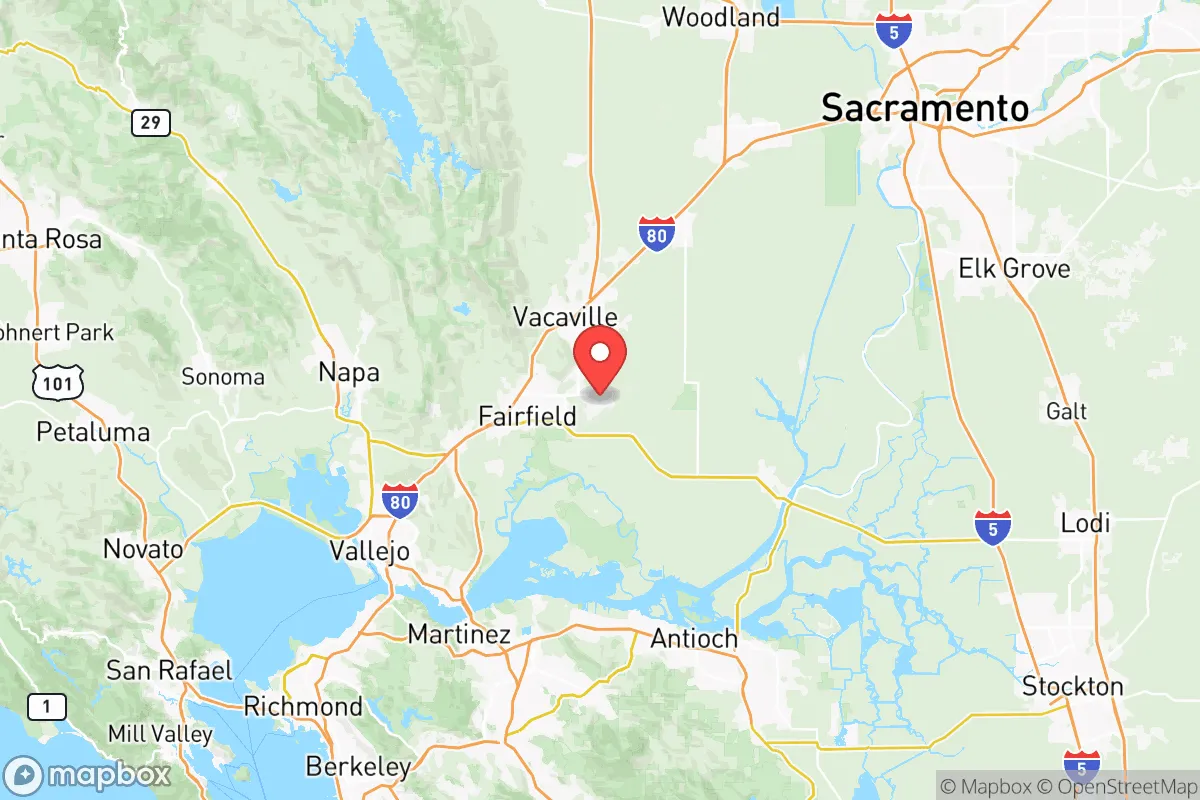
Solano County’s location at the eastern edge of the San Francisco Bay Area places it in a unique sweet spot: close enough to access urban job markets and supply chains, yet far enough to avoid the worst of a major metropolitan crisis. The county spans from the Carquinez Strait in the south to the Sacramento River Delta in the north, with the cities of Fairfield (the county seat), Vacaville, Vallejo, and Benicia forming its population centers. The Delta region provides abundant freshwater resources—a critical asset in any long-term disruption—while the surrounding Coast Range and Sierra Nevada foothills offer defensible terrain and escape routes eastward toward the Central Valley. The climate is Mediterranean, with mild, wet winters and dry summers, reducing the risk of catastrophic wildfires compared to more forested parts of California. The county’s agricultural base, including orchards, vineyards, and row crops in the Dixon and Rio Vista areas, means local food production is a tangible reality, not just a theoretical advantage. For a relocator, this geography translates into a lower exposure to earthquake liquefaction zones (common in the Delta but avoidable by choosing higher ground in Vacaville or Fairfield) and a reduced likelihood of being cut off by a single disaster event, thanks to multiple highway corridors (I-80, I-680, and CA-12) and rail connections.
Risks, exposures, and proximity to fallout-relevant landmarks
No location is without vulnerabilities, and Solano County’s strategic value is tempered by its proximity to several high-value targets. The most significant risk is Travis Air Force Base, located just east of Fairfield. As a major aerial port and logistics hub for the U.S. military, Travis is a clear target in any conflict scenario, and its presence means the surrounding area could face secondary effects from a strike—ranging from electromagnetic pulse (EMP) disruption to fallout if a nuclear weapon were used. The county also borders the Suisun Bay Reserve Fleet (the “mothball fleet”) near Benicia, a collection of decommissioned military vessels that could be a target for sabotage or collateral damage. Additionally, the Valero Benicia Refinery, one of the largest oil refineries in California, sits on the Carquinez Strait. A major accident or attack on this facility could release toxic chemicals or cause fires that affect downwind communities in Vallejo and Benicia. On the natural disaster front, the county lies within the seismically active San Andreas Fault system’s broader zone, though the nearest major fault (the Hayward Fault) is about 20 miles west. A major earthquake on the Hayward or Rodgers Creek faults could damage infrastructure, including the Rio Vista Bridge and the Delta levees, potentially cutting off water supplies and evacuation routes. For the relocator, these risks are manageable with proper planning—choosing a home on higher ground away from the refinery and base, maintaining a 72-hour kit, and having multiple evacuation routes mapped—but they are real and should factor into any decision.
Practical resilience for a relocator: food, water, energy, and defensibility
Solano County’s practical resilience is strong, particularly for those willing to invest in self-sufficiency. Water is the county’s standout asset: the Sacramento-San Joaquin River Delta provides a vast, renewable freshwater source, and many rural properties have access to groundwater via wells. The county’s water agencies, including the Solano County Water Agency, have invested in drought-resistant infrastructure, but a relocator should verify well depth and local water rights before purchasing. Food is equally robust: the county is a top producer of tomatoes, almonds, and wine grapes, and farmers’ markets in Vacaville and Fairfield operate year-round. For those with land, the growing season lasts from March to November, allowing for substantial home gardening and small-scale livestock. Energy is a mixed picture. The county is served by PG&E, which has a history of public safety power shutoffs (PSPS) during high-wind events, but solar adoption is high, and net metering policies (though changing) still favor early adopters. The Solano County Energy Center in Vacaville provides natural gas-fired backup generation, but a relocator should plan for off-grid solar with battery storage to ensure independence. Defensibility is where the county shines for those choosing rural or semi-rural parcels. The areas around Rio Vista, Dixon, and the Green Valley region east of Fairfield offer low population density, long sightlines, and limited access points—ideal for a prepared household. The county’s law enforcement presence is solid, with the Solano County Sheriff’s Office and local police departments maintaining good response times in rural areas, though residents should still plan for self-defense and community mutual aid networks. The biggest practical challenge is the cost of land: while cheaper than the Bay Area, rural parcels in Solano County still command a premium compared to the Central Valley, with prices ranging from $10,000 to $30,000 per acre depending on water access and proximity to infrastructure.
Overall, Solano County presents a balanced strategic picture for the disaster-conscious relocator. Its geographic position offers a rare combination of freshwater abundance, agricultural productivity, and relative isolation from the Bay Area’s densest targets, while its risks—primarily from Travis Air Force Base, the Benicia Refinery, and seismic activity—are manageable with deliberate planning. The county is not a bunker; it is a working landscape where resilience comes from community, infrastructure, and land stewardship rather than isolation. For a family or individual willing to invest in solar, well water, and a rural property outside the main population corridors, Solano County provides a defensible, self-sufficient base that remains connected to the broader economy. It is a strong choice for those who want to be prepared without retreating entirely from modern life, but it demands an honest assessment of the trade-offs—particularly the proximity to military and industrial targets that could become liabilities in a major conflict. For the right relocator, Solano County is a strategic asset; for the unprepared, it is just another suburb with a view of the Delta.

* Values derived from national, state, county, city and local statistics and may differ in a specific area. Last updated: 2026-11-21T00:35:28.000Z
Narrative content on this page is AI-generated and may contain mistakes. Verify any details that matter before acting on them.
ReloMaps may earn a commission from affiliate links at no extra cost to you.

