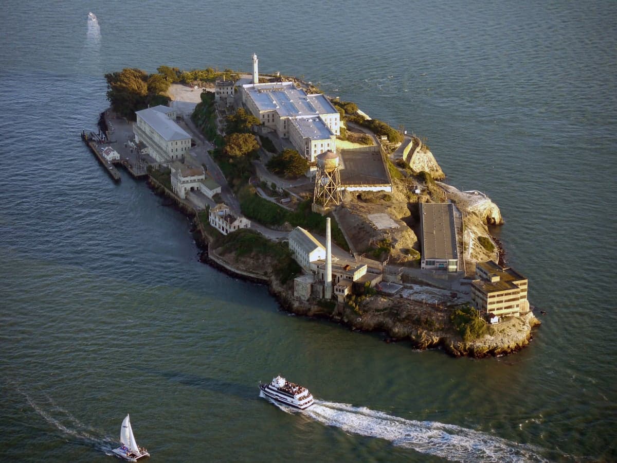
Photo: Wikipedia
Strategic Assessment of San Francisco County
Multiple tactical vulnerabilities. Population density, target proximity, or disaster risk are likely compounding. A retreat property and exit planning is required.
What does the Strategic Assessment tell us?
Our Strategic Assessment grades tactical survivability of an area. Major population centers, military targets, fallout zones, natural disasters, and border exposure all drive risk — lower exposure means a more defensible position in a crisis.
This is heavily inspired by Joel Skousen's Strategic Relocation book. Highly recommended you checkout the book ($)What does this tell us?
Our Strategic Assessment grades tactical survivability of an area. Major population centers, military targets, fallout zones, natural disasters, and border exposure all drive risk — lower exposure means a more defensible position in a crisis.
This is heavily inspired by Joel Skousen's Strategic Relocation book. Highly recommended you checkout the book ($)Strategic Pillars

Key Distances
Strategic Assessment Analysis
San Francisco County presents a paradox for the relocation-minded conservative reader focused on resilience and self-sufficiency: it offers world-class geographic defenses and a temperate climate, yet sits at the epicenter of some of the highest-density, highest-target urban and industrial zones on the West Coast. The county’s 47 square miles pack over 800,000 residents into a narrow peninsula bounded by the Pacific Ocean, the Golden Gate, and San Francisco Bay, creating a natural fortress that is also a logistical bottleneck. For a relocator weighing disaster readiness, the key question is whether the area’s natural advantages—cool summers, reliable fog, and a maritime buffer—outweigh its exposure to seismic risk, civil unrest, and proximity to high-value targets like the Port of Oakland and the San Francisco International Airport (SFO). The answer depends heavily on whether you plan to live within the dense urban core or on the more defensible, less trafficked western and southern edges of the county.
Geographic position and natural advantages for self-sufficiency
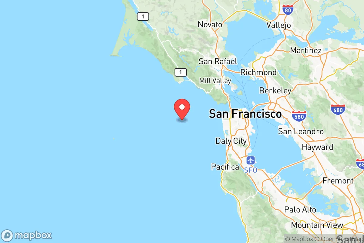
San Francisco County’s geography is its strongest resilience card. The city occupies a 7-by-7-mile peninsula with the Pacific Ocean to the west, the Golden Gate strait to the north, and the Bay to the east, leaving only a narrow isthmus connecting it to the rest of the Bay Area at the county’s southern border near Daly City and South San Francisco. This natural moat—water on three sides—makes the county inherently defensible against ground-based threats, whether from civil unrest, supply chain disruptions, or a mass evacuation scenario. The Golden Gate Bridge and the Bay Bridge (connecting to Oakland) are the only two road egress points for most of the city, which is a double-edged sword: they can be controlled or blocked, but they also funnel any threat into predictable chokepoints. The county’s coastal fog and cool marine layer (average summer highs of 65-70°F) reduce wildfire risk compared to inland areas like Napa or Sonoma, and the Pacific provides an essentially unlimited water source for desalination or rainwater catchment—though the city’s current water supply comes from the Hetch Hetchy Reservoir in Yosemite, a 160-mile aqueduct vulnerable to earthquake damage. The Presidio and Golden Gate National Recreation Area offer thousands of acres of open space within the county, providing potential for foraging, hunting (with permits), and defensible retreat zones away from dense urban blocks.
Risks, exposures, and proximity to fallout-relevant landmarks
The county’s resilience profile is severely undermined by its concentration of high-value, high-risk infrastructure. San Francisco County is home to the Port of San Francisco, a major cargo and cruise terminal, and sits directly across the Bay from the Port of Oakland, one of the busiest container ports on the West Coast—both are prime targets for disruption, whether from a seismic event, cyberattack, or geopolitical conflict. The county also hosts SFO, a major international airport and a likely evacuation or relief hub that could become a chokepoint or target. On the industrial side, while San Francisco County itself has no major refineries, the Phillips 66 Rodeo Refinery and the Chevron Richmond Refinery are just 10-15 miles northeast across the Bay in Contra Costa County; a catastrophic release or attack at either could send a toxic plume over the eastern neighborhoods of the city. The county sits atop the San Andreas Fault (running through the western edge near Lake Merced and the Pacific coast) and the Hayward Fault (east of the Bay), making a major earthquake (M7.0+) a near-certainty within the next 30 years—the USGS gives a 72% probability of a M6.7+ quake in the Bay Area by 2043. For a relocator, the Mission District and SoMa neighborhoods are particularly vulnerable due to liquefaction-prone fill soil, while the Richmond District and Sunset District on the western side sit on more stable sand dunes but face tsunami risk from a Cascadia subduction zone event. Civil unrest risk is elevated: the city has a history of large-scale protests and property crime (property crime rate of roughly 5,000 per 100,000 residents in 2024, among the highest in the state), and the concentration of government buildings—including San Francisco City Hall, the Federal Building, and tech headquarters in SoMa—makes it a symbolic target for any coordinated disruption.
Practical resilience for a relocator: food, water, energy, and defensibility
For a relocator serious about self-sufficiency, San Francisco County presents significant challenges in food and water security. The county has no significant agricultural land—less than 1% of its area is farmland—and relies entirely on truck and rail shipments from the Central Valley and beyond. In a prolonged disruption (e.g., a major earthquake severing the I-5 or I-80 corridors), grocery shelves would empty within 72 hours, based on FEMA estimates for urban areas. The city’s water system, managed by the San Francisco Public Utilities Commission, depends on the Hetch Hetchy Aqueduct, which crosses the San Andreas Fault in three places; a rupture could cut water to the entire county for weeks. Rainwater catchment is feasible (the city averages 24 inches of rain per year, mostly November-March), but storage space is limited in dense neighborhoods. Energy resilience is mixed: Pacific Gas & Electric (PG&E) provides electricity and natural gas, and the grid is vulnerable to wildfire-related shutoffs (Public Safety Power Shutoffs) and earthquake damage. Solar adoption is moderate (about 5% of homes have rooftop solar, per 2024 data), but battery storage is growing. Defensibility is the county’s strongest resilience asset: the peninsula’s narrow geography means a small, organized group could control access points like the I-280 corridor at the county line or the Great Highway along the coast. The San Francisco Police Department has about 1,800 officers, but response times in a crisis would be stretched thin. For a relocator, the outer Sunset or outer Richmond neighborhoods offer the best balance of defensibility (fewer entry points, lower density) and access to open space (Ocean Beach, Golden Gate Park), while the Financial District and Tenderloin are high-risk due to density, crime, and lack of egress.
Overall, San Francisco County is a high-risk, high-reward location for a resilience-minded relocator. Its natural geography—a peninsula with ocean on three sides—provides excellent defensibility and a mild climate that reduces wildfire and extreme heat threats. But the county’s extreme density, reliance on fragile infrastructure (the Hetch Hetchy aqueduct, PG&E grid, and just two major road bridges), and proximity to high-value targets (the Port of Oakland, SFO, and refineries across the Bay) make it one of the least resilient urban areas in California for a long-term disruption. For a single individual or family willing to invest in off-grid water storage, solar-plus-battery systems, and a well-stocked pantry, the outer neighborhoods offer a defensible base with ocean access and moderate seismic risk. But for anyone prioritizing food sovereignty, energy independence, and low exposure to man-made threats, the county’s strategic liabilities likely outweigh its natural advantages. The smart play is to treat San Francisco County as a temporary or secondary location—a place to work or maintain a foothold—while basing your primary resilience setup in a less dense, more resource-independent county like Sonoma or Nevada County to the north.

* Values derived from national, state, county, city and local statistics and may differ in a specific area. Last updated: 2026-11-21T00:28:17.000Z
Narrative content on this page is AI-generated and may contain mistakes. Verify any details that matter before acting on them.
ReloMaps may earn a commission from affiliate links at no extra cost to you.

