
Photo: Wikipedia
Strategic Assessment of Riverside County
Multiple tactical vulnerabilities. Population density, target proximity, or disaster risk are likely compounding. A retreat property and exit planning is required.
What does the Strategic Assessment tell us?
Our Strategic Assessment grades tactical survivability of an area. Major population centers, military targets, fallout zones, natural disasters, and border exposure all drive risk — lower exposure means a more defensible position in a crisis.
This is heavily inspired by Joel Skousen's Strategic Relocation book. Highly recommended you checkout the book ($)What does this tell us?
Our Strategic Assessment grades tactical survivability of an area. Major population centers, military targets, fallout zones, natural disasters, and border exposure all drive risk — lower exposure means a more defensible position in a crisis.
This is heavily inspired by Joel Skousen's Strategic Relocation book. Highly recommended you checkout the book ($)Strategic Pillars

Key Distances
Strategic Assessment Analysis
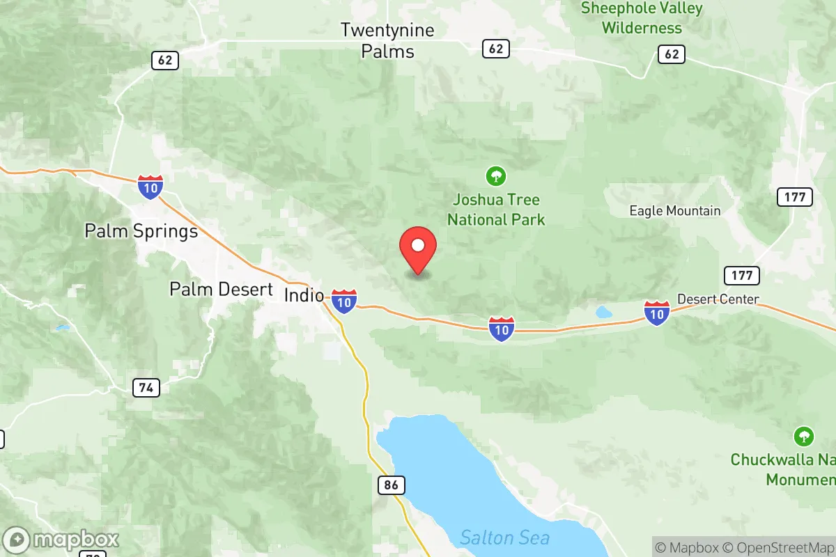
Riverside County presents a mixed strategic picture for the relocation-minded reader focused on resilience and self-sufficiency. Its sheer size—over 7,200 square miles—creates a fragmented landscape where advantages and vulnerabilities vary dramatically by location, from the densely populated western corridor to the remote desert expanses east of the Salton Sea. For a conservative-leaning individual or family weighing disaster readiness, the county offers genuine geographic buffers and resource potential, but also carries significant exposure to natural hazards and proximity to high-value man-made targets that demand careful site selection.
Geographic position and natural advantages for long-term stability
Riverside County’s primary resilience asset is its position at the intersection of multiple climate zones and resource corridors. The western third of the county, anchored by cities like Murrieta and Temecula, sits in a Mediterranean climate zone with reliable rainfall patterns and access to the Santa Ana River watershed. This region benefits from elevation—much of it sits above 1,000 feet—which provides natural drainage and reduces flood risk compared to the coastal plains. Moving east, the terrain transitions into the San Jacinto Mountains and then the Colorado Desert, offering defensible high ground near Idyllwild (elevation 5,400 feet) and remote valley positions around Blythe along the Colorado River. The Colorado River itself is a critical strategic asset: it provides a year-round surface water source that is independent of California’s overtaxed State Water Project, making eastern Riverside County one of the few areas in Southern California with genuinely redundant water supply. The county’s position also places it 60–90 miles inland from the Pacific coast, reducing exposure to tsunami risks and sea-level rise while still allowing access to coastal trade routes if needed.
Risks, exposures, and proximity to fallout-relevant landmarks
The county’s strategic liabilities are substantial and geographically concentrated. The western urban crescent—Riverside, Moreno Valley, and Corona—lies within 30 miles of March Air Reserve Base, a former Strategic Air Command installation that remains a major logistics and air mobility hub. This base is a plausible target in any conflict scenario involving strategic bombing or electromagnetic pulse (EMP) attack, placing the surrounding population centers in a high-risk fallout zone. Additionally, the county hosts the San Onofre Nuclear Generating Station (now decommissioned but still containing spent fuel) just across the border in San Diego County, roughly 40 miles southwest of Temecula. A radiological incident at that site could affect western Riverside County depending on prevailing winds. On the natural hazard side, the county is bisected by the San Andreas Fault, which runs through the Coachella Valley near Palm Springs and Indio. A major rupture—the "Big One"—would cause catastrophic ground failure in the low-lying desert communities and could disrupt the Colorado River Aqueduct, which supplies water to the entire region. Wildfire risk is severe in the forested mountain communities (Idyllwild, Hemet) and the chaparral-covered foothills, with the 2018 Cranston Fire and 2020 Apple Fire each burning over 30,000 acres. Flood risk is paradoxically highest in the desert east: the Salton Sea basin and the low-lying areas around Coachella are subject to flash flooding from monsoon storms, and the Salton Sea itself presents an ongoing air-quality hazard as its exposed lakebed generates toxic dust.
Practical resilience for a relocator: food, water, energy, and defensibility
For a relocator serious about self-sufficiency, Riverside County offers genuine opportunities but requires careful micro-selection. Water access is the decisive factor. Properties in the western county (Murrieta, Temecula) typically rely on imported water from the State Water Project, which is vulnerable to earthquake disruption and regulatory cutbacks. Eastern county properties near the Colorado River (Blythe, Palo Verde Valley) have senior water rights and direct river access, making them far more resilient for long-term homesteading. Groundwater is available in several basins, but the San Jacinto Basin and the Coachella Valley Basin are both overdrafted and subject to pumping restrictions under California’s Sustainable Groundwater Management Act. Food production potential is limited but real: the county is the top agricultural producer in California by value, with major citrus, date, and vegetable operations in the Coachella and Palo Verde valleys. A relocator with acreage could tap into this infrastructure for seed stock, livestock feed, and local processing facilities. Energy resilience is mixed: the county has abundant solar potential (over 300 sunny days per year in the east), but grid reliability in remote areas is poor, with frequent Public Safety Power Shutoffs during high-wind events. Off-grid solar with battery storage is a practical necessity for any defensible property. Defensibility varies by terrain: the mountain communities (Idyllwild, Anza) offer natural chokepoints and limited access roads, making them easier to secure, while the open desert east provides long sightlines but requires significant perimeter management. The county’s gun culture is robust—Riverside County has over 100,000 registered firearms and a strong network of shooting ranges and private land ownership—which aligns with a preparedness mindset. However, the county’s population density in the west (over 2.4 million people total) means that any major disruption would trigger significant urban exodus into the rural areas, so a relocator must consider buffer zones: properties at least 20 miles from the I-15 and I-10 corridors will face less pressure during a crisis.
The overall strategic picture for Riverside County is one of high variance: the western urban corridor offers convenience but carries concentrated risk from military targets, earthquake faults, and population density, while the eastern desert and mountain zones provide genuine resilience advantages—water access, defensible terrain, and agricultural infrastructure—at the cost of extreme heat, isolation, and limited services. For the conservative relocator prioritizing disaster readiness, the eastern Colorado River region (Blythe, Palo Verde) and the high mountain pockets (Idyllwild, Anza) represent the strongest options within the county, provided the trade-offs in climate and distance to medical care are acceptable. The county as a whole is not a single strategic bet, but a collection of micro-environments where careful parcel selection can yield a defensible, resource-secure property in an otherwise vulnerable region of Southern California.

* Values derived from national, state, county, city and local statistics and may differ in a specific area. Last updated: 2026-06-16T00:32:27.000Z
Narrative content on this page is AI-generated and may contain mistakes. Verify any details that matter before acting on them.
ReloMaps may earn a commission from affiliate links at no extra cost to you.

