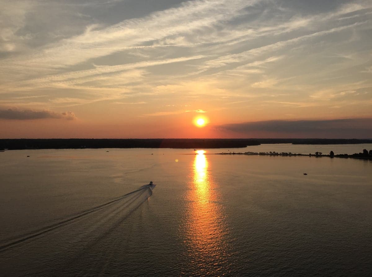
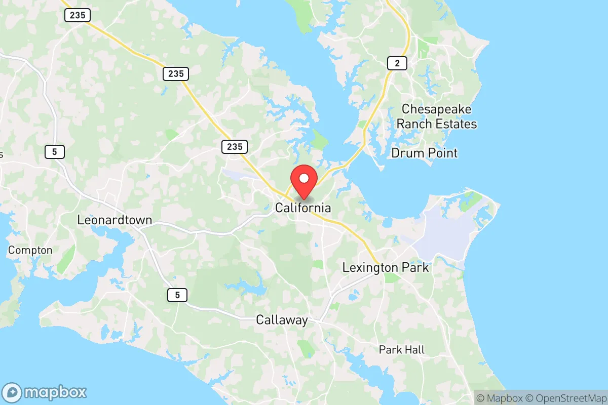
Photo: Wikipedia
Demographics of California, MD
Affluence Level in California, MD
A middle-class area roughly in line with national averages across income, home values, education, and employment.
People of California, MD
The people of California, Maryland, today form a moderately dense, racially diverse community of 13,223 residents, characterized by a blend of military-affiliated families, federal workers, and long-standing local families. The city’s identity is shaped by its proximity to Naval Air Station Patuxent River, giving it a transient, professional feel, yet it retains a distinctly Southern Maryland cultural base with a slightly conservative leaning. With a 58.4% white population, 22.4% Black, 9.2% Hispanic, and 3.1% East/Southeast Asian, the population is more diverse than the surrounding St. Mary’s County average, though the foreign-born share remains low at 2.5%.
How the city was settled and grew
California, Maryland, was not a colonial-era settlement but a post-1900 crossroads community that grew slowly until the mid-20th century. The area was originally part of a land grant known as “California” in the 1700s, but the modern city’s population history begins with the arrival of the railroad in the 1880s, which connected the rural tobacco-farming region to markets. The first significant wave of settlers were English-descended farmers and watermen who established small homesteads along what is now Route 235. The historic California Village neighborhood, centered around the original crossroads at Route 235 and Chancellors Run Road, was the core of this early community, with a general store, post office, and a handful of houses. By the 1940 census, the population was barely 500, almost entirely white and native-born, with a few Black families living in the Jarboesville area, a historically African American settlement dating to the late 1800s that remains a distinct neighborhood today.
Modern era (post-1965)
The modern population of California exploded after 1965, driven entirely by the establishment and expansion of Naval Air Station Patuxent River (NAS Pax River) in nearby Lexington Park. The base, opened in 1943 but growing rapidly through the Cold War, drew a massive influx of military personnel, civilian defense contractors, and federal employees from across the country. This wave was overwhelmingly domestic, with families moving from other states—particularly the Midwest, Northeast, and South—rather than from abroad. The Chancellors Run neighborhood, a large planned subdivision built in the 1970s and 1980s, absorbed many of these new arrivals, offering affordable single-family homes for Navy families. The Hickory Hills area, developed in the 1990s, attracted a mix of white and Black middle-class professionals, reflecting the broader suburbanization of the base workforce. The post-1965 Hart-Cellar Act had a modest effect here: the 2.5% foreign-born population is low, but the 3.1% East/Southeast Asian share—largely Filipino and Vietnamese families connected to the Navy—concentrates in Willow Woods and newer subdivisions near the base. The 22.4% Black population, which includes both long-standing local families from Jarboesville and newer arrivals from the Washington, D.C., metro area, is dispersed across the city but has a visible presence in Green Hills and the older sections of California Village. The 9.2% Hispanic population, primarily of Puerto Rican and Central American origin, has grown since 2000, settling in the Spring Ridge area and newer apartment complexes near Route 235.
The future
The population of California is projected to continue growing slowly, driven by the steady employment base at NAS Pax River and the broader St. Mary’s County expansion. The city’s population is becoming slightly more diverse, with the Hispanic and East/Southeast Asian shares expected to rise gradually as military and contractor recruitment diversifies. However, the foreign-born share will likely remain below 5%, as most growth comes from domestic in-migration. The white population share is declining slowly, from over 65% in 2000 to 58.4% today, while the Black share has stabilized. New residential development is concentrated in the Chancellors Run extension and the Three Notch Trail corridor, where townhomes and apartments are attracting younger families and single professionals. The cultural identity is evolving from a purely military-adjacent community toward a more suburban, family-oriented one, with a growing emphasis on local schools and parks. Over the next 10-20 years, California will likely become more politically moderate, though it will retain a conservative-leaning character compared to the D.C. suburbs, as the base workforce remains a stabilizing influence.
For someone moving in now, California offers a stable, moderately diverse community where the population is shaped by federal employment and military service, not by immigration or rapid urban growth. The city is becoming more suburban and family-focused, with new neighborhoods absorbing a slowly diversifying population, but it remains a place where the local culture is rooted in Southern Maryland traditions and a conservative work ethic. The low foreign-born share and high college-educated rate (40.8%) suggest a professional, English-dominant environment that will appeal to families and single individuals seeking a predictable, safe community with strong ties to the base economy.

* Values derived from national, state, county, city and local statistics and may differ in a specific area. Last updated: 2026-11-18T00:35:20.000Z
Narrative content on this page is AI-generated and may contain mistakes. Verify any details that matter before acting on them.
ReloMaps may earn a commission from affiliate links at no extra cost to you.

