Photo: Wikipedia
Strategic Assessment of Burke, VA
Meaningful friction. Expect exposure to either population pressure, blast zones, or natural disaster risk. Consider buying a retreat property.
What does the Strategic Assessment tell us?
Our Strategic Assessment grades tactical survivability of an area. Major population centers, military targets, fallout zones, natural disasters, and border exposure all drive risk — lower exposure means a more defensible position in a crisis.
This is heavily inspired by Joel Skousen's Strategic Relocation book. Highly recommended you checkout the book ($)What does this tell us?
Our Strategic Assessment grades tactical survivability of an area. Major population centers, military targets, fallout zones, natural disasters, and border exposure all drive risk — lower exposure means a more defensible position in a crisis.
This is heavily inspired by Joel Skousen's Strategic Relocation book. Highly recommended you checkout the book ($)Strategic Pillars

Key Distances
Regional Safe Places
Below is our recommended "safe zones" in Virginia and the surrounding area based on our strategic heuristics. For most people, it's unrealistic to live in a “safe zone” full-time due to work, family or other personal reasons. They tend to be more rural. However, many of these areas are perfect for second homes and retreat properties that double as a vacation home or even a short-term rental.




Important Note: For informational purposes only. This does not mean nothing bad ever happens in the green zones. Please use common sense. This is based on public data and modeled with AI. We tried to take a conservative approach but mistakes happen. We update this regularly as new information becomes available.
Solar Generator Recommendations
Backup power matters more here than in safer locations. We've picked three solar generators across budgets and capacity tiers — start with the budget unit if you only need a few essentials, or step up if you want to run a fridge and HVAC for days at a time.

Jackery Portable Power Station Explorer 300
Budget OptionPower on the Go: Weighing only 11 lbs, it's convenient to set up and store with book-sized foldable solar panels

BLUETTI Portable Power Station AC180
Designed for both indoor and outdoor scenarios, AC180 is highly capable as it has a robost capacity and continuous output power.

EF ECOFLOW DELTA Pro Ultra Power Station
Upgraded PickEcoFlow DELTA Pro Ultra is a whole-home energy system designed to grow with your family. Integrated with the Smart Home Panel 2, it scales to meet your evolving energy needs — keeping your home powered, intelligent, and secure through every stage of life.
We earn a commission, at no additional cost to you.
Strategic Assessment Analysis
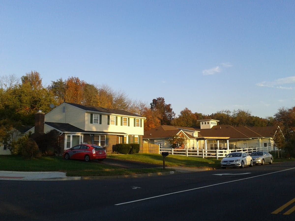
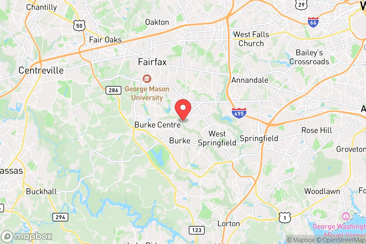
Burke, Virginia, offers a surprisingly strong strategic position for a relocator prioritizing disaster readiness and self-sufficiency, balancing proximity to the nation's capital with the practical advantages of a suburban-rural interface. Located roughly 20 miles southwest of Washington, D.C., in Fairfax County, Burke sits within the I-95/395 corridor but benefits from a lower population density than its immediate neighbors like Springfield or Annandale. Its resilience profile is defined by a mix of geographic buffers, moderate natural hazard exposure, and significant man-made risk proximity — making it a location that requires deliberate preparation rather than one that offers inherent safety.
Geographic position and natural advantages for disaster readiness
Burke's location in the Piedmont region provides a subtle but meaningful elevation advantage over areas closer to the Potomac River and tidal basins. The community sits at roughly 300-400 feet above sea level, reducing flood risk from the Occoquan River and Pohick Creek systems that drain the area. This elevation also places Burke outside the most severe storm surge zones for hurricanes tracking up the Chesapeake Bay, though inland flooding from prolonged rainfall remains a concern. The area's rolling hills and mixed hardwood forests offer natural cover and some defensibility, though the terrain is not rugged enough to impede modern vehicles or infrastructure. Burke's position along the Fairfax County Parkway and near I-495 provides multiple evacuation routes — a critical advantage over neighborhoods with single-point access. However, these same roads become choke points during mass evacuations, as seen during Hurricane Isabel in 2003 and the 2011 earthquake when traffic gridlocked across the region. The nearby Burke Lake (218 acres) and Occoquan Reservoir serve as emergency water sources, though both are recreational and not designed for sustained potable supply without treatment.
Risks, exposures, and proximity to fallout-relevant landmarks
The most significant risk for Burke residents is its proximity to Washington, D.C., a high-value target for both conventional and unconventional attacks. Burke lies within the 20-30 mile radius of the National Mall, placing it within the blast and fallout zones for a nuclear detonation at ground zero. The prevailing wind patterns from the west-northwest would carry fallout toward the Atlantic, but a shift could deposit radioactive material across Fairfax County within hours. Beyond nuclear scenarios, Burke is near several critical infrastructure nodes: the I-95/495 interchange (Springfield Interchange) is a likely target for disruption, and the nearby Fort Belvoir military base (3 miles east) could become a secondary target or staging area during a crisis. The area also sits within the flight path for Reagan National Airport and Andrews Air Force Base, increasing the risk of aviation accidents or debris fields. Natural hazards are less dramatic but more frequent: severe thunderstorms with straight-line winds and occasional tornadoes (F2 or lower) occur every few years, and the region experiences moderate seismic activity — the 2011 Mineral, Virginia earthquake (5.8 magnitude) caused structural damage to chimneys and foundations in Burke. Winter storms can paralyze the area for 2-3 days due to limited snow removal equipment in a region unaccustomed to heavy snow.
Practical resilience for a relocator: food, water, energy, and defensibility
For a relocator serious about self-sufficiency, Burke presents a mixed picture. Food security is moderate: the area has several large grocery chains (Wegmans, Harris Teeter, Giant) within a 10-minute drive, but these are vulnerable to supply chain disruptions common in the D.C. metro area. Local farmers' markets operate seasonally at Burke Centre and nearby Fairfax Station, but year-round local food production is limited by the region's clay-heavy soil and 180-day growing season. Community gardens exist but are small-scale. Water access is a stronger point: Burke residents on municipal water draw from the Occoquan Reservoir, which has a 65-million-gallon-per-day treatment capacity, but the system is vulnerable to power outages and chemical contamination. Private wells are rare in the developed subdivisions but exist in older rural pockets along Burke Lake Road. For off-grid water, Burke Lake and the Occoquan River are accessible but require filtration and boiling. Energy resilience is a weakness: the grid is managed by Dominion Energy and is prone to outages during storms — the 2012 derecho left some Burke neighborhoods without power for 5-7 days. Solar adoption is growing but remains below 5% of homes due to HOA restrictions in many subdivisions. Natural gas is widely available for heating and cooking, providing a backup option during electrical outages if the gas distribution network remains intact. Defensibility is limited by the area's suburban layout: most homes are in cul-de-sac subdivisions with single-point access, making them easy to isolate but also easy to block. The Burke Centre community has a centralized layout with multiple entrances, but the surrounding woods and Burke Lake Park offer some concealment. The local police presence (Fairfax County Police, 5th District) is robust, but response times during widespread emergencies would stretch thin. For a relocator, the best strategy is to choose a home on a through-street with multiple egress points, install a backup generator and water storage system, and build relationships with neighbors who share preparedness goals.
Overall, Burke offers a strategic compromise for the disaster-conscious relocator who wants proximity to D.C. employment without living directly in the blast zone. Its natural advantages — elevation, multiple evacuation routes, and nearby water sources — are offset by the significant man-made risks of being within the capital region's target footprint. For a family or individual willing to invest in home hardening (generator, water filtration, food storage) and develop a regional evacuation plan (with a rally point west of I-81 in the Shenandoah Valley), Burke can be a viable base. But for those seeking true self-sufficiency away from population centers and strategic targets, areas further west — such as Fauquier or Rappahannock counties — would offer lower risk and greater land for food production. Burke is best understood as a preparedness-forward suburb: not a survivalist retreat, but a place where a thoughtful relocator can achieve a high degree of resilience with deliberate effort.

* Values derived from national, state, county, city and local statistics and may differ in a specific area. Last updated: 2026-08-26T19:04:09.000Z
Narrative content on this page is AI-generated and may contain mistakes. Verify any details that matter before acting on them.
ReloMaps may earn a commission from affiliate links at no extra cost to you.

