Photo: Wikipedia
Strategic Assessment of Ashby, MA
Meaningful friction. Expect exposure to either population pressure, blast zones, or natural disaster risk. Consider buying a retreat property.
What does the Strategic Assessment tell us?
Our Strategic Assessment grades tactical survivability of an area. Major population centers, military targets, fallout zones, natural disasters, and border exposure all drive risk — lower exposure means a more defensible position in a crisis.
This is heavily inspired by Joel Skousen's Strategic Relocation book. Highly recommended you checkout the book ($)What does this tell us?
Our Strategic Assessment grades tactical survivability of an area. Major population centers, military targets, fallout zones, natural disasters, and border exposure all drive risk — lower exposure means a more defensible position in a crisis.
This is heavily inspired by Joel Skousen's Strategic Relocation book. Highly recommended you checkout the book ($)Strategic Pillars

Key Distances
Regional Safe Places
Below is our recommended "safe zones" in Massachusetts and the surrounding area based on our strategic heuristics. For most people, it's unrealistic to live in a “safe zone” full-time due to work, family or other personal reasons. They tend to be more rural. However, many of these areas are perfect for second homes and retreat properties that double as a vacation home or even a short-term rental.




Important Note: For informational purposes only. This does not mean nothing bad ever happens in the green zones. Please use common sense. This is based on public data and modeled with AI. We tried to take a conservative approach but mistakes happen. We update this regularly as new information becomes available.
Solar Generator Recommendations
Backup power matters more here than in safer locations. We've picked three solar generators across budgets and capacity tiers — start with the budget unit if you only need a few essentials, or step up if you want to run a fridge and HVAC for days at a time.

Jackery Portable Power Station Explorer 300
Budget OptionPower on the Go: Weighing only 11 lbs, it's convenient to set up and store with book-sized foldable solar panels

BLUETTI Portable Power Station AC180
Designed for both indoor and outdoor scenarios, AC180 is highly capable as it has a robost capacity and continuous output power.

EF ECOFLOW DELTA Pro Ultra Power Station
Upgraded PickEcoFlow DELTA Pro Ultra is a whole-home energy system designed to grow with your family. Integrated with the Smart Home Panel 2, it scales to meet your evolving energy needs — keeping your home powered, intelligent, and secure through every stage of life.
We earn a commission, at no additional cost to you.
Strategic Assessment Analysis
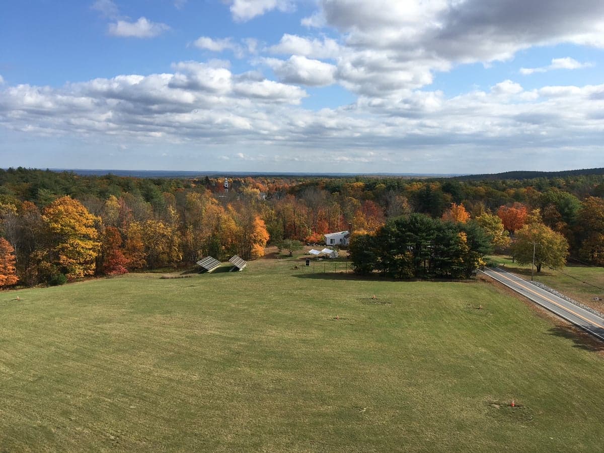
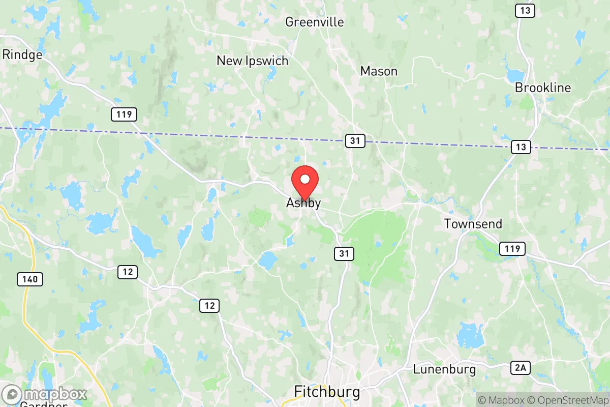
Ashby, Massachusetts, offers a compelling strategic profile for those prioritizing disaster readiness and self-sufficiency, balancing genuine geographic advantages with notable proximity risks. Situated in north-central Massachusetts along the New Hampshire border, this rural town of roughly 3,200 residents sits at an elevation of roughly 1,000 feet, providing a modest but meaningful height advantage over the surrounding lowlands. Its location places it roughly 50 miles northwest of Boston and about 30 miles from the New Hampshire seacoast, positioning it far enough from major urban centers to avoid the worst of a metropolitan collapse scenario while remaining close enough for supply runs or medical access in stable times. The town's low population density—roughly 80 people per square mile—and its heavily forested, hilly terrain create natural buffers that would work in a relocator's favor, though the area's strategic value is tempered by its proximity to infrastructure and population corridors that could become liabilities in a crisis.
Geographic position and natural advantages for self-sufficiency
Ashby sits within the Nashua River watershed, with several small streams and ponds—including the 100-acre Ashby Pond—providing a decentralized, renewable water source that is less vulnerable to municipal system failures. The town's elevation and rolling hills offer natural defensibility; the terrain is not mountainous enough to be impassable, but it does create chokepoints along the few main roads, particularly Route 119 and Route 31, which could be monitored or blocked if needed. The surrounding forests are predominantly mixed hardwoods and pines, offering ample firewood, building material, and cover for foraging or hunting—white-tailed deer, turkey, and small game are abundant. The soil is generally rocky and acidic, typical of central New England, which limits large-scale agriculture but supports hardy crops like potatoes, squash, and berries if amended. Ashby's climate is continental, with cold, snowy winters and warm, humid summers; the growing season is short, roughly 120–140 days, meaning serious food production would require season extension techniques like cold frames or greenhouses. The town's rural character means most properties have well water and septic systems, reducing dependence on centralized infrastructure, though many homes still rely on electric pumps for water, which is a vulnerability during grid outages.
Risks, exposures, and proximity to fallout-relevant landmarks
The most significant strategic weakness of Ashby is its proximity to several high-value, high-risk targets that could generate fallout or secondary effects in a major conflict or disaster scenario. The town lies roughly 25 miles from the Seabrook Station Nuclear Power Plant in New Hampshire, a pressurized water reactor that, while generally safe, represents a credible radiological risk in the event of a meltdown or attack. In a nuclear exchange scenario, Ashby is within the moderate fallout zone for a strike on Boston or Portsmouth Naval Shipyard, though prevailing winds would largely dictate actual contamination patterns. The town is also about 20 miles from Fort Devens, a former Army base now used for training and emergency response, which could become a military target or a magnet for displaced populations. Interstate 495, a major circumferential highway around Boston, is about 15 miles south, meaning Ashby sits within the outer ring of the Boston metropolitan area's evacuation and resource competition zone. Natural disaster risks are moderate: the area is not prone to hurricanes, tornadoes, or earthquakes, but severe winter storms can knock out power for days or weeks, and the hilly terrain can make roads impassable during ice storms. Flooding is limited to low-lying areas near streams, but most of Ashby's residential lots are on higher ground and are not in FEMA-designated flood zones.
Practical resilience for a relocator: food, water, energy, and defensibility
For a relocator serious about self-sufficiency, Ashby offers a mixed bag. Water is the strongest asset: private wells are the norm, and the town's numerous ponds and streams provide backup sources, though boiling or filtration would be necessary for surface water. The water table is generally high, so shallow wells are common, but drought summers can lower yields. Food production is the weakest link: the short growing season and poor soil mean that achieving calorie self-sufficiency from gardening alone would require significant investment in raised beds, soil amendments, and season extension. Local agriculture is limited to a few small farms and orchards, and the nearest reliable grocery stores are in Fitchburg (15 miles) or Nashua, New Hampshire (20 miles), which would be vulnerable to supply chain disruptions. Energy resilience is achievable: many homes already use wood stoves for primary or supplemental heat, and the surrounding forests provide a renewable fuel source if managed sustainably. Solar potential is moderate—the area gets about 200 sunny days per year, below the national average—but rooftop panels with battery storage can cover basic needs, especially if paired with a backup generator for winter months. Defensibility is decent but not fortress-like: the town's few entry roads can be monitored, and the wooded terrain provides cover, but the population is spread out enough that a determined group could approach from multiple directions. The local police force is small (a handful of officers), and the nearest state police barracks is in Leominster, about 20 minutes away, meaning response times in a crisis would be slow. The community itself is tight-knit, with a strong volunteer fire department and an active emergency management team, which is a plus for mutual aid but also means outsiders may be viewed with some suspicion.
The overall strategic picture for Ashby is one of moderate resilience with clear trade-offs. It offers genuine advantages in water access, defensible terrain, and distance from the worst urban chaos, but its short growing season, proximity to nuclear infrastructure, and location within the Boston commuter shed create vulnerabilities that cannot be ignored. For a relocator who is willing to invest in soil improvement, season extension, and off-grid energy, Ashby can be a viable long-term base. However, those seeking a truly isolated, self-sufficient retreat should look further north into New Hampshire or Maine, where population density drops further and distance from strategic targets increases. Ashby is best understood as a compromise: a place that is rural enough to offer meaningful resilience, but not so remote that it escapes the gravitational pull of the Northeast's population and infrastructure corridors. It works for someone who wants to be prepared without being completely cut off, but it demands active preparation rather than passive reliance on the town's natural advantages alone.

* Values derived from national, state, county, city and local statistics and may differ in a specific area. Last updated: 2026-09-28T16:56:07.000Z
Narrative content on this page is AI-generated and may contain mistakes. Verify any details that matter before acting on them.
ReloMaps may earn a commission from affiliate links at no extra cost to you.

