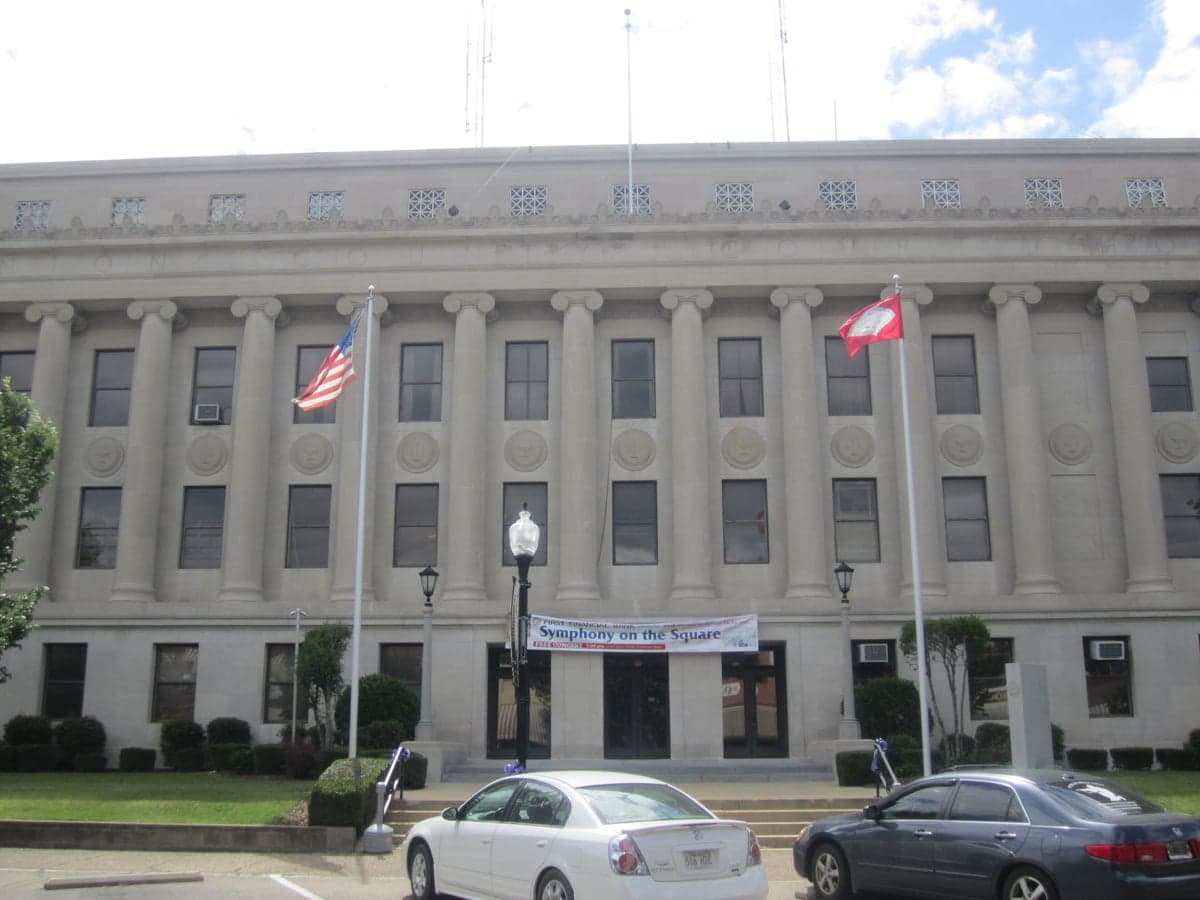
Photo: Wikipedia
Strategic Assessment of Union County
Strong survivability profile. Good buffer from population centers, with manageable environmental and tactical risks.
What does the Strategic Assessment tell us?
Our Strategic Assessment grades tactical survivability of an area. Major population centers, military targets, fallout zones, natural disasters, and border exposure all drive risk — lower exposure means a more defensible position in a crisis.
This is heavily inspired by Joel Skousen's Strategic Relocation book. Highly recommended you checkout the book ($)What does this tell us?
Our Strategic Assessment grades tactical survivability of an area. Major population centers, military targets, fallout zones, natural disasters, and border exposure all drive risk — lower exposure means a more defensible position in a crisis.
This is heavily inspired by Joel Skousen's Strategic Relocation book. Highly recommended you checkout the book ($)Strategic Pillars

Key Distances
Strategic Assessment Analysis
Union County, Arkansas, offers a quiet resilience that appeals to relocators looking to step off the national radar without sacrificing access to the resources that make self-sufficiency viable. Its location in the southern tier of the state, straddling the Louisiana border and anchored by El Dorado, positions it away from the major coastal population centers while still connecting to regional infrastructure through US Highways 167, 82, and 63. The county's history in oil and gas extraction, centered on the Smackover oil field around the towns of Smackover and Norphlet, means energy infrastructure is already baked into the local economy and landscape, giving a relocator a head start on thinking about backup power, fuel availability, and local industrial know-how. For someone serious about disaster readiness and long-term self-reliance, Union County presents a mix of advantages and trade-offs that deserve a close, grounded look.
Geographic position and natural advantages for self-sufficiency
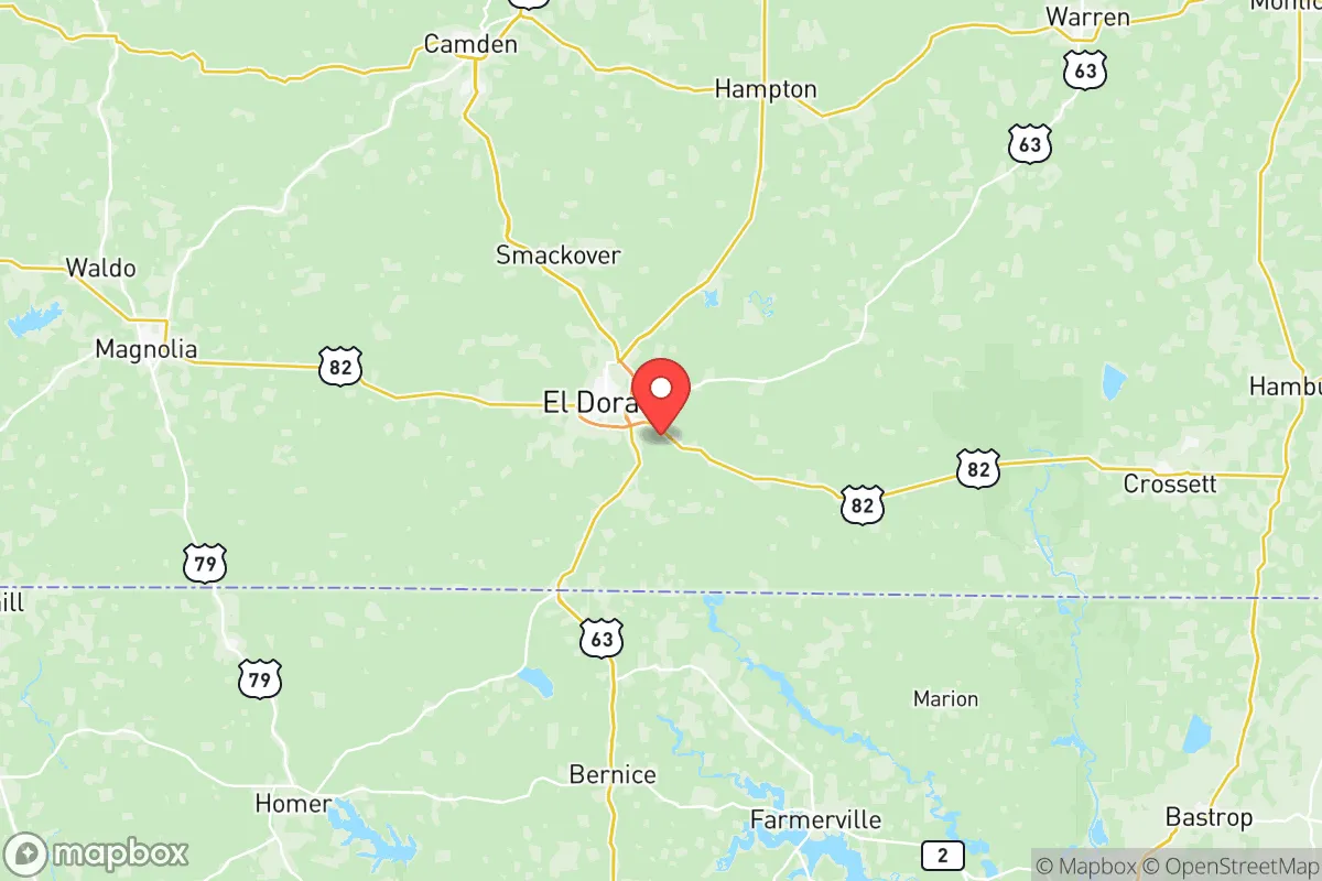
Union County sits in the West Gulf Coastal Plain, a region of low rolling hills, pine and hardwood forests, and an extensive network of rivers and bayous. The Ouachita River forms a portion of the county's western boundary, and the Felsenthal National Wildlife Refuge—a vast oxbow lake and wetland complex—straddles the border with Bradley County to the north. This abundance of surface water is a genuine asset for anyone planning a resilient water strategy; wells are common in rural areas, and year-round creeks and sloughs offer alternative sources for irrigation or emergency use. The terrain is not mountainous, so defensibility is a matter of distance and cover rather than elevation, but the forested landscape provides natural screening and reduces visibility from major travel corridors. El Dorado, the county seat and commercial hub with roughly 18,000 residents, is small enough to avoid the congestion and target profile of a mid-sized city while still offering a hospital (the Medical Center of South Arkansas), a regional airport (South Arkansas Regional Airport at Goodwin Field), and a modest but functional industrial base. The county's position at the intersection of state highways also puts it roughly 75 miles west of Shreveport, Louisiana, and 45 miles north of the Arkansas-Louisiana state line, placing it just outside the immediate orbit of larger metropolitan areas while still within a reasonable drive for supply runs or specialized services.
Risks, exposures, and proximity to industrial and fallout-relevant landmarks
The same energy industry that gives Union County its economic footing also introduces clear man-made risks. The El Dorado Chemical plant, located just north of the city, manufactures ammonia and ammonium nitrate, products with inherent hazard potential. The site sits close to residential areas and near the Union Pacific rail line that runs through the county. Additionally, the legacy of the Smackover oil field—one of the nation's most prolific early-20th-century discoveries—means there are hundreds of active and inactive wells, tank farms, and pipeline rights-of-way scattered across the landscape. A pipeline rupture or well fire, while statistically unlikely, is a credible concern for anyone selecting a homestead in the rural parts of the county. On the fallout-relevant side, Union County is within 150 miles of the United States Strategic Command's bomber and missile infrastructure at Barksdale Air Force Base near Shreveport, Louisiana. Barksdale is a key nuclear-capable asset, and its proximity raises the hypothetical risk of being near a high-value military target in a major crisis. The county is also within roughly 200 miles of the Houston Ship Channel complex and the East Texas refinery corridor, both of which are possible targets in a national emergency scenario. That said, Union County itself does not host any active military installations, nuclear plants, or concentration of national industrial choke points, making it a lower-tier target personally compared to communities in the Houston or Dallas-Fort Worth metro areas. Tornado risk is moderate; the county lies in the southern edge of Tornado Alley, and severe weather is a seasonal reality. Flooding along the Ouachita River and its tributaries is the more persistent natural hazard, particularly in low-lying areas near Huttig and Calion.
Practical resilience for a relocator: food, water, energy, and defensibility
For someone looking to move toward self-sufficiency, Union County's practical resilience starts with the land itself. The growing season runs roughly 220 days, and the soil in many parts of the county (especially the flatriver bottoms) is capable of supporting row crops, gardens, and orchards. Local farmers' markets and small-scale agriculture are active in El Dorado and the surrounding communities, providing a social entry point for a newcomer to learn regional growing practices and seed sources. Water is a standout asset: the county sits atop the Sparta aquifer, a large regional groundwater source that supplies many private wells at moderate depths. Combined with the surface water in Felsenthal and the countless small ponds and sloughs, a properly equipped property can have a robust, redundant water system. Energy resilience is bolstered by the local oil and gas presence; propane and diesel are easy to source, and the county's electrical grid is served by Entergy Arkansas, which has its own generation assets in the region. Solar potential is good for Arkansas averages, though the relatively high tree canopy means a clearing is necessary for optimal collection. Defensibility is not about perimeter fortification but about obscurity and distance: the rural interior of the county, especially on the unpaved roads south of Norphlet or west of the Ouachita, offers significant seclusion. The majority of the population clusters in El Dorado and its immediate suburbs, so moving ten miles out of town puts a household into deep woods with limited through traffic. The county's law enforcement presence is small but capable; the Union County Sheriff's Office covers a large area with modest staffing, meaning emergency response times in outlying areas can be 20 minutes or more. A prepared household should not expect rapid outside help in a sustained disruption.
The overall strategic picture for Union County, Arkansas, is one of moderate advantages offset by real but manageable risks. Its location places you on a less-traveled path—away from the major interstate corridors and population concentrations that define America's most visible target set—while still offering access to water, energy, and arable land. The presence of the chemical plant and the proximity to Barksdale Air Force Base are the two most significant exposure points, but neither is unique to this county; many parts of the South face similar or worse proximity to industrial and military installations. For a relocator who wants to develop real self-sufficiency without going completely off-grid, Union County offers a workable middle ground: a place where a modest piece of property, a good well, and a solar-battery setup can create a genuinely resilient household. The county's culture leans conservative and self-reliant, which aligns with the audience for this analysis, and the existing community of hunters, ranchers, and oil-field workers means skilled labor and local knowledge are available for hire if you know where to look. It is not a fortress, but for a thoughtful relocator, it is a defensible position.

* Values derived from national, state, county, city and local statistics and may differ in a specific area. Last updated: 2026-06-24T22:33:45.000Z
Narrative content on this page is AI-generated and may contain mistakes. Verify any details that matter before acting on them.
ReloMaps may earn a commission from affiliate links at no extra cost to you.

