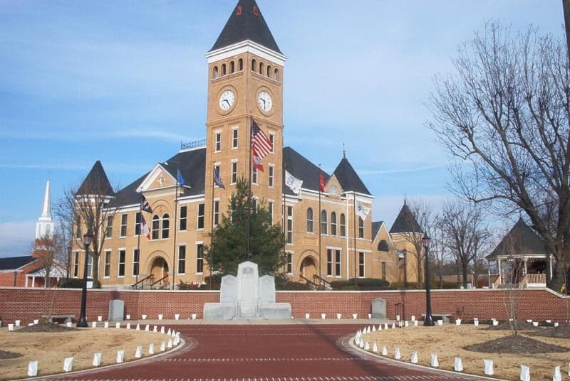
Photo: Wikipedia
Strategic Assessment of Saline County
Workable tactical position. Some exposure to population density or targets, but generally defensible in a crisis.
What does the Strategic Assessment tell us?
Our Strategic Assessment grades tactical survivability of an area. Major population centers, military targets, fallout zones, natural disasters, and border exposure all drive risk — lower exposure means a more defensible position in a crisis.
This is heavily inspired by Joel Skousen's Strategic Relocation book. Highly recommended you checkout the book ($)What does this tell us?
Our Strategic Assessment grades tactical survivability of an area. Major population centers, military targets, fallout zones, natural disasters, and border exposure all drive risk — lower exposure means a more defensible position in a crisis.
This is heavily inspired by Joel Skousen's Strategic Relocation book. Highly recommended you checkout the book ($)Strategic Pillars

Key Distances
Strategic Assessment Analysis
Saline County, Arkansas, offers a compelling strategic position for relocators prioritizing resilience and self-sufficiency, balancing proximity to a major metropolitan hub with the practical advantages of a less-dense, resource-rich environment. Located just southwest of Little Rock, the county provides a buffer from the immediate fallout risks of a large city while still granting access to its economic and logistical infrastructure. The area’s natural topography, water resources, and agricultural potential make it a serious contender for those assessing long-term preparedness, though it is not without its own exposures and vulnerabilities.
Geographic position and natural advantages for self-sufficiency
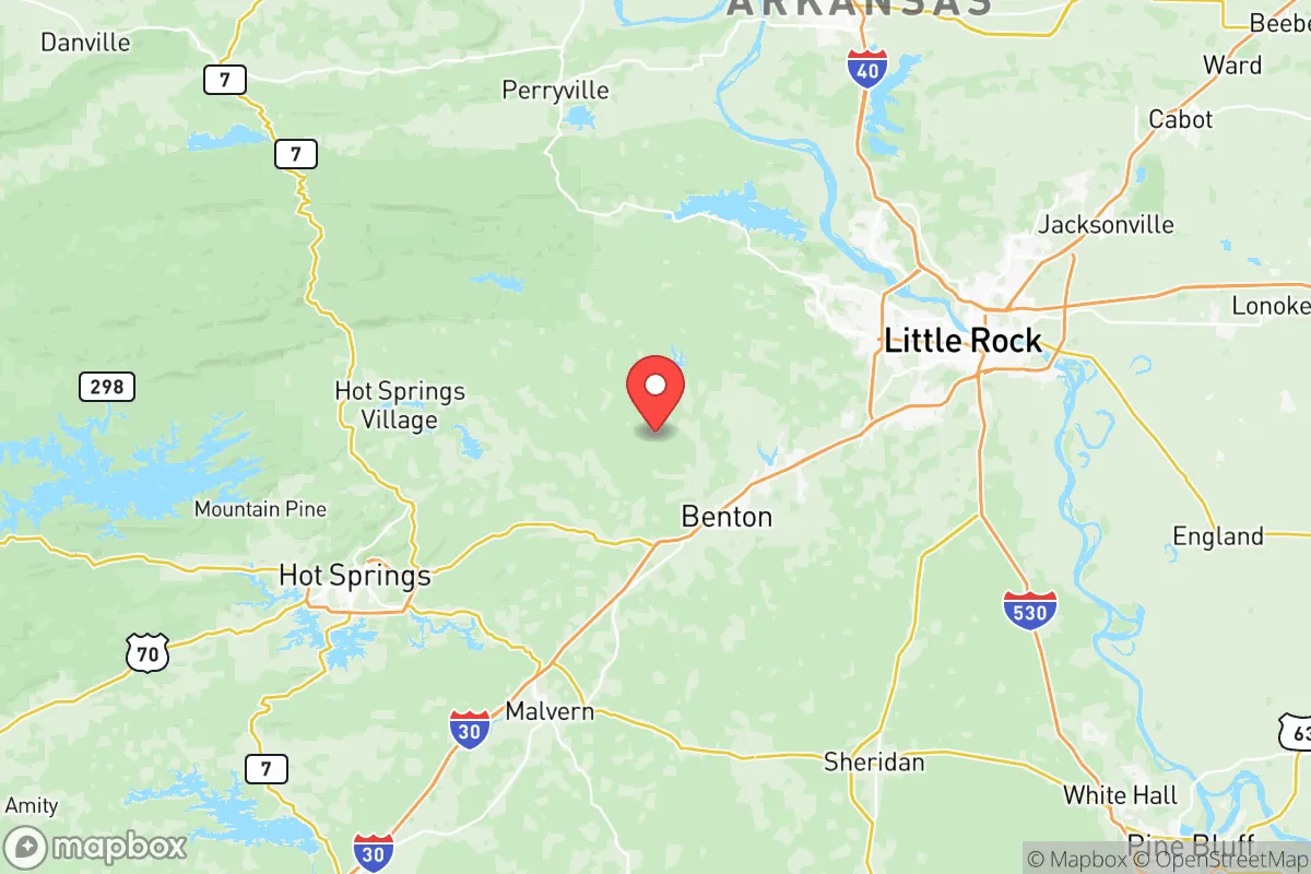
Saline County sits at the southern edge of the Ouachita Mountains, a region of rolling hills, hardwood forests, and abundant waterways that naturally support a dispersed population. The county’s 730 square miles include the towns of Benton (the county seat) and Bryant, both of which are positioned along the Interstate 30 corridor, roughly 20 miles from downtown Little Rock. This distance provides a meaningful separation from the concentrated risks of a major city—such as civil unrest, infrastructure failure, or a targeted attack—while still allowing for a 30-minute commute to the capital’s hospitals, supply chains, and federal facilities. The Saline River and Lake Hamilton (part of the Ouachita River system) offer reliable surface water sources, and the county’s average annual rainfall of 52 inches supports rain-fed agriculture and private wells. The terrain itself is a strategic asset: the hills and forested hollows provide natural cover and defensible positions, with many rural properties offering seclusion without complete isolation. The area’s elevation, ranging from 300 to 600 feet, reduces flood risk compared to the Arkansas Delta, though low-lying areas near the Saline River can see localized flooding during heavy rain events.
Risks, exposures, and proximity to fallout-relevant landmarks
While Saline County avoids the worst of urban concentration risks, it is not immune to man-made and natural threats. The most significant exposure is its proximity to Little Rock Air Force Base in Jacksonville, about 30 miles northeast, which houses the 19th Airlift Wing and C-130 aircraft. In a conflict scenario, this base could be a high-value target, and fallout patterns from a strike could drift southwesterly into Saline County depending on wind conditions. Additionally, the Arkansas Nuclear One plant in Russellville, roughly 70 miles northwest, presents a low-probability but high-consequence risk of radiological release; prevailing winds from the northwest would carry fallout toward the county. On the natural hazard side, the county lies in a moderate seismic zone near the New Madrid Seismic Zone (about 150 miles east), capable of producing a magnitude 7.0+ earthquake that could disrupt transportation and utilities across the region. Tornado risk is elevated—Arkansas averages 40 tornadoes annually—and Saline County has experienced EF-2 and EF-3 events in the past decade, particularly in the spring. The I-30 corridor itself is a double-edged sword: it provides evacuation routes and supply access, but it also funnels traffic from Little Rock during a crisis, potentially creating choke points at the Saline River bridge near Benton. For a relocator, the key takeaway is that the county’s risks are manageable with proper planning—unlike living directly adjacent to a refinery or military base—but they are not negligible.
Practical resilience for a relocator: food, water, energy, and defensibility
Saline County’s practical resilience is strong for a semi-rural area, particularly in terms of water and food security. The Saline River and Lake Norrell (a 1,200-acre reservoir near Benton) provide year-round surface water, and the county’s groundwater aquifers are generally reliable for private wells, though well depths of 100–300 feet are typical. For food, the county has a robust agricultural base: Grant County to the south and Hot Spring County to the west are major producers of poultry, cattle, and row crops, and local farmers’ markets in Benton and Bryant operate seasonally. The Arkansas Game and Fish Commission manages public hunting lands in the Ouachita National Forest (accessible via Highway 270), offering deer, turkey, and small game. Energy resilience is moderate: the county is served by Entergy Arkansas and First Electric Cooperative, with grid reliability typical of the region (outages during storms are common but usually restored within 24–48 hours). Solar potential is good—the area averages 215 sunny days per year—and many rural properties are zoned for off-grid systems, though local permitting in Benton and Bryant can be restrictive. Defensibility is a standout feature: the hilly terrain and forest cover create natural barriers, and the county’s low population density (about 130 people per square mile) means fewer neighbors to rely on or compete with for resources. However, the I-30 corridor and the Union Pacific Railroad line that runs through the county are potential infiltration routes, so a relocator should prioritize properties with good visibility of approach roads and multiple egress options, such as those near Highway 5 or Highway 67.
Overall, Saline County presents a balanced strategic picture for the disaster-conscious relocator. It offers genuine advantages in water availability, defensible terrain, and separation from high-risk urban and industrial targets, while still being close enough to Little Rock to access medical care, supply chains, and evacuation routes. The primary trade-offs are the moderate tornado and seismic risks, and the potential for fallout from Little Rock Air Force Base or Arkansas Nuclear One under worst-case scenarios. For a family or individual willing to invest in a well, solar panels, and a storm shelter, the county provides a solid foundation for long-term self-sufficiency without the extreme isolation of deeper rural areas. The key is to choose a property away from the I-30 corridor and major floodplains—ideally in the southern or western parts of the county near Lonsdale or Paron—where the hills and forests offer the best combination of seclusion and resource access.

* Values derived from national, state, county, city and local statistics and may differ in a specific area. Last updated: 2026-07-27T17:51:05.000Z
Narrative content on this page is AI-generated and may contain mistakes. Verify any details that matter before acting on them.
ReloMaps may earn a commission from affiliate links at no extra cost to you.

