
Photo: Wikipedia
Strategic Assessment of Independence County
Workable tactical position. Some exposure to population density or targets, but generally defensible in a crisis.
What does the Strategic Assessment tell us?
Our Strategic Assessment grades tactical survivability of an area. Major population centers, military targets, fallout zones, natural disasters, and border exposure all drive risk — lower exposure means a more defensible position in a crisis.
This is heavily inspired by Joel Skousen's Strategic Relocation book. Highly recommended you checkout the book ($)What does this tell us?
Our Strategic Assessment grades tactical survivability of an area. Major population centers, military targets, fallout zones, natural disasters, and border exposure all drive risk — lower exposure means a more defensible position in a crisis.
This is heavily inspired by Joel Skousen's Strategic Relocation book. Highly recommended you checkout the book ($)Strategic Pillars

Key Distances
Strategic Assessment Analysis
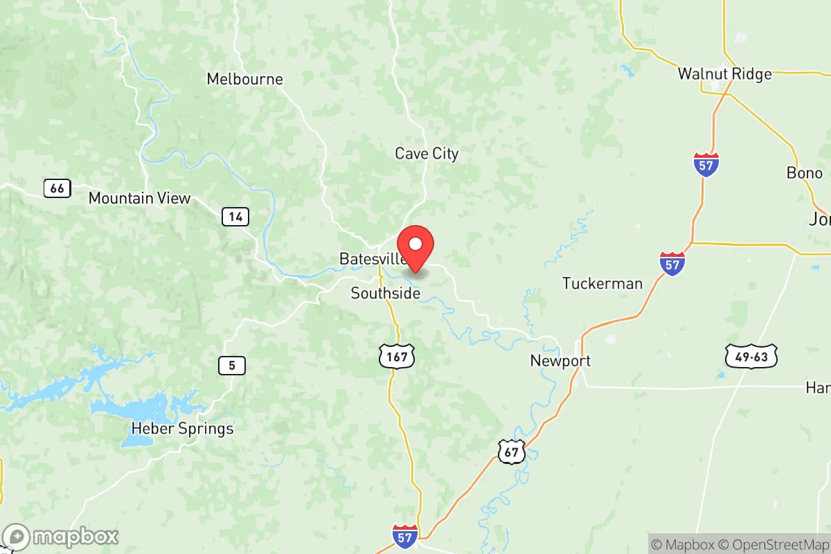
Independence County, Arkansas, offers a compelling mix of geographic isolation and practical self-sufficiency that appeals to relocators prioritizing disaster readiness and long-term resilience. Anchored by the county seat of Batesville and the smaller communities of Newark, Cushman, and Sulphur Rock, the area sits roughly 80 miles north of Little Rock and 100 miles west of Memphis, placing it far enough from major metropolitan centers to avoid the worst of urban collapse scenarios while remaining accessible for supply runs or medical care. The county’s position along the White River and within the Ozark foothills provides natural defensive terrain, reliable water access, and a climate that supports year-round food production, making it a serious candidate for those evaluating relocation through a strategic lens.
Geographic position and natural advantages for long-term stability
Independence County’s location in north-central Arkansas places it within the Ozark Plateau, a region characterized by rolling hills, limestone bluffs, and dense hardwood forests. This topography offers natural defensibility—elevated ridgelines and narrow valley corridors create chokepoints that would slow movement and provide observation points, a factor often overlooked in standard relocation assessments. The White River, which flows through Batesville and continues south toward the Mississippi, is a perennial water source with consistent flow rates, supporting both irrigation and potable water access even during drought conditions common to the Mid-South. The county’s position also places it outside the primary tornado alley of the Great Plains, though severe weather remains a seasonal risk. For a relocator weighing long-term stability, the combination of reliable surface water, moderate seismic risk (far from the New Madrid fault’s most active zones), and low population density—roughly 37,000 residents across 771 square miles—reduces competition for resources during a crisis compared to more densely settled parts of the state like Washington or Benton counties.
Exposure to natural hazards and proximity to fallout-relevant infrastructure
While Independence County avoids the worst of hurricane storm surge and coastal flooding, it is not immune to natural hazards. The region sits within the New Madrid seismic zone’s outer impact ring; a major earthquake event (magnitude 7.0 or greater) could cause moderate ground shaking and potential damage to older masonry structures in Batesville’s historic district, though modern building codes have improved resilience since the 1990s. Flooding along the White River and its tributaries—particularly around the communities of Oil Trough and Sulphur Rock—is a recurring concern, with the National Weather Service recording major flood stages roughly every five to seven years. From a man-made risk perspective, the county’s primary exposure comes from its proximity to the Arkansas Nuclear One plant in Russellville, approximately 70 miles west-southwest. While this distance exceeds the 10-mile emergency planning zone, prevailing wind patterns and the potential for airborne particulate dispersion mean a worst-case release could affect the western portions of the county. More immediately, the Union Pacific rail line running through Batesville carries hazardous materials including anhydrous ammonia and crude oil, presenting a localized derailment risk. For the strategic relocator, these exposures are manageable with proper planning—unlike the concentrated risks found near Houston’s refinery corridor or Memphis’s chemical storage facilities—but they warrant attention when selecting a specific homestead site within the county.
Practical resilience for daily life: food, water, energy, and defensibility
Independence County’s practical resilience rests on three pillars: water availability, agricultural capacity, and energy infrastructure. The White River aquifer provides reliable groundwater for wells, with typical depths of 100 to 300 feet yielding 10 to 30 gallons per minute in most areas outside the immediate floodplain. Surface water from the river and its tributaries is also accessible, though treatment would be necessary for potable use. The county’s agricultural sector—dominated by cattle ranching, poultry operations, and row crops like soybeans and rice in the southern bottomlands—means local food production is viable, and the presence of the University of Arkansas’s Cooperative Extension Service in Batesville offers access to technical knowledge on gardening, livestock management, and soil conservation. Energy resilience is mixed: Entergy Arkansas provides grid electricity, but rural areas experience outages averaging two to four hours per month, with longer disruptions following ice storms. Solar potential is moderate, with the region receiving roughly 4.5 peak sun hours per day, sufficient for off-grid supplemental power but not full replacement without battery storage. For defensibility, the county’s low population density and limited through-roads—primarily U.S. 67/167 and State Highway 14—reduce the likelihood of mass movement during a crisis, though the Batesville area’s role as a regional medical and retail hub could attract evacuees from smaller surrounding counties. A relocator should prioritize properties with well water, southern exposure for solar, and at least 20 acres of wooded or mixed-use land to buffer against neighbors and provide firewood resources.
The overall strategic picture for Independence County is one of moderate-to-high resilience with manageable trade-offs. It lacks the extreme isolation of Montana or the high desert Southwest, but it offers a realistic balance of water security, agricultural potential, and geographic defensibility that few regions in the Lower 48 can match without sacrificing access to modern infrastructure. The primary risks—seismic activity, rail transport hazards, and periodic flooding—are well-understood and can be mitigated through site selection and basic preparedness measures. For the relocator who values self-sufficiency but does not want to abandon all connection to supply chains, medical services, or community networks, Independence County represents a defensible middle ground. The key is to avoid the floodplains, secure a reliable water source, and build relationships with the local farming community before a crisis arrives. In a world where most relocation analysis focuses on amenities and school ratings, this county deserves attention for what it offers when those systems falter.

* Values derived from national, state, county, city and local statistics and may differ in a specific area. Last updated: 2026-06-22T03:30:56.000Z
Narrative content on this page is AI-generated and may contain mistakes. Verify any details that matter before acting on them.
ReloMaps may earn a commission from affiliate links at no extra cost to you.

