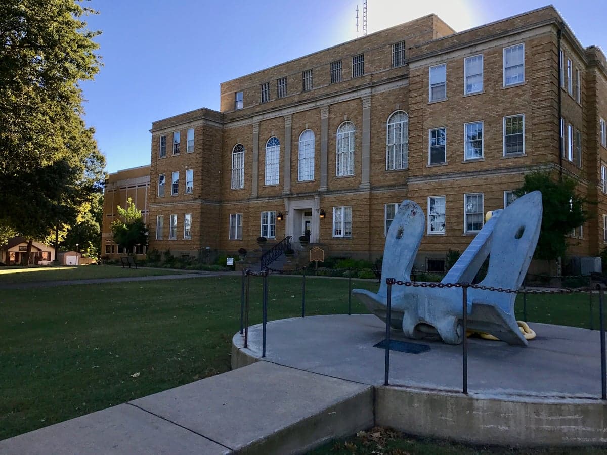
Photo: Wikipedia
Strategic Assessment of Faulkner County
Workable tactical position. Some exposure to population density or targets, but generally defensible in a crisis.
What does the Strategic Assessment tell us?
Our Strategic Assessment grades tactical survivability of an area. Major population centers, military targets, fallout zones, natural disasters, and border exposure all drive risk — lower exposure means a more defensible position in a crisis.
This is heavily inspired by Joel Skousen's Strategic Relocation book. Highly recommended you checkout the book ($)What does this tell us?
Our Strategic Assessment grades tactical survivability of an area. Major population centers, military targets, fallout zones, natural disasters, and border exposure all drive risk — lower exposure means a more defensible position in a crisis.
This is heavily inspired by Joel Skousen's Strategic Relocation book. Highly recommended you checkout the book ($)Strategic Pillars

Key Distances
Strategic Assessment Analysis
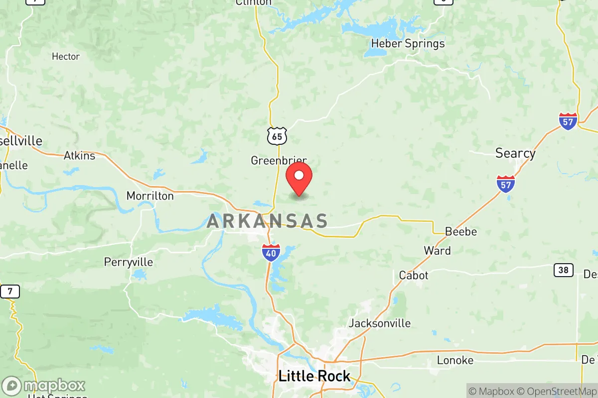
Faulkner County, Arkansas, offers a compelling balance of strategic depth and practical livability for those prioritizing resilience and self-sufficiency, without sacrificing access to modern infrastructure. Anchored by Conway, the county sits roughly 30 miles north of Little Rock, placing it far enough from a major metropolitan center to avoid the worst of urban collapse scenarios, yet close enough to leverage regional medical and supply networks. The area’s geography—rolling hills, abundant water, and a climate that supports year-round agriculture—provides a natural foundation for long-term preparedness, making it a serious contender for relocation-minded individuals and families who value security and sustainability.
Geographic position and natural advantages for long-term security
Faulkner County’s location in the Arkansas River Valley gives it a distinct edge. The Arkansas River itself forms the county’s southern border, offering a reliable water source and a natural barrier that complicates approach from the south. The terrain is a mix of forested ridges and fertile bottomlands, with the Ozark foothills beginning to rise just north of Conway. This topography provides natural cover and defensible positions, particularly in the rural stretches around Greenbrier and Guy, where dense woods and winding roads limit visibility and access. The county sits well inland—over 400 miles from the Gulf Coast—so hurricane storm surge and tsunami risks are nonexistent. Tornadoes are a real threat, but the rolling hills and river bluffs offer micro-siting options for building into slopes or using natural windbreaks. The climate is humid subtropical, with a growing season of roughly 220 days, which supports substantial home food production. The area’s elevation, averaging 300 to 500 feet above sea level, keeps it above most floodplain risks, though low-lying areas near the river in Mayflower and Vilonia have experienced flash flooding in heavy rain events.
Risks, exposures, and proximity to fallout-relevant landmarks
No strategic assessment is complete without a clear-eyed look at vulnerabilities. Faulkner County’s primary man-made risk stems from its proximity to Little Rock Air Force Base in Jacksonville, roughly 20 miles southeast of Conway. This base hosts C-130 transport squadrons and is a key logistics hub for the U.S. military, making it a plausible target in a major conflict. The fallout plume from a strike on the base would likely drift east-northeast with prevailing winds, but Conway and the southern part of the county lie within the moderate-risk zone. Additionally, the Arkansas Nuclear One plant in Russellville, about 50 miles northwest, presents a low-probability but high-consequence risk. A catastrophic release there could contaminate the Arkansas River watershed, which supplies drinking water to much of the county. On the natural hazard side, the New Madrid Seismic Zone, roughly 150 miles to the east, poses a credible earthquake threat. A major quake (7.0+) could cause liquefaction in the river valley and damage older infrastructure in Conway, though modern building codes in the city have improved resilience. The county’s industrial base is modest—mostly light manufacturing and logistics in Conway—so there are no large refineries or chemical plants within its borders that would create localized toxic hazards. The Union Pacific rail line running through Conway does carry hazardous materials, but derailments are rare and typically localized.
Practical resilience for a relocator: food, water, energy, and defensibility
For a family or individual serious about self-sufficiency, Faulkner County delivers on the basics. Water is abundant: the Arkansas River is a perennial source, and the county sits atop the Sparta Aquifer, one of the most productive groundwater reserves in the region. Private wells are common in rural areas, with depths typically between 100 and 300 feet, and water quality is generally good, though some areas have naturally occurring arsenic that requires filtration. The county’s agricultural heritage means local food production is viable. Farmers’ markets operate in Conway, Greenbrier, and Vilonia, and the soil in the river bottoms is rich enough for row crops like corn, soybeans, and wheat. For a homesteader, the growing season supports tomatoes, peppers, squash, and leafy greens, plus fruit trees like apples and pears. Energy resilience is mixed: the grid is served by Entergy Arkansas and Conway Corporation, both of which have improved storm hardening since the 2021 ice storm that left thousands without power for days. Solar potential is moderate—the area averages about 210 sunny days per year, comparable to the national average—and net metering is available for grid-tied systems. Off-grid solar is feasible with battery storage, especially on south-facing slopes in the northern part of the county. Defensibility is strongest in the rural corridors north of Conway. The area around Wooster and Enola offers properties with long sightlines, limited road access, and natural cover from the Ozark foothills. The county’s population density is low outside the Conway metro—roughly 130 people per square mile countywide, but dropping to under 30 in the northern townships—which reduces competition for resources in a crisis. The local sheriff’s office and constables maintain a visible presence, and the culture of hunting and firearms ownership is strong, which aligns with a self-reliant mindset.
The overall strategic picture for Faulkner County is one of measured opportunity. It avoids the extreme risks of coastal or border regions while retaining enough infrastructure to support a modern lifestyle. The proximity to Little Rock Air Force Base is the single greatest vulnerability, but it’s a manageable one for those who site their property north of Conway or in the rural townships. The county’s natural resources—water, arable land, timber, and a moderate climate—provide a solid foundation for long-term resilience. For a relocator who values preparedness without wanting to live off-grid in a remote mountain cabin, Faulkner County offers a realistic middle ground: close enough to civilization to be practical, far enough to be safe, and grounded in a community that still remembers how to grow its own food and look out for its neighbors.

* Values derived from national, state, county, city and local statistics and may differ in a specific area. Last updated: 2026-07-17T05:50:27.000Z
Narrative content on this page is AI-generated and may contain mistakes. Verify any details that matter before acting on them.
ReloMaps may earn a commission from affiliate links at no extra cost to you.

