
Photo: Wikipedia
Strategic Assessment of Pima County
Meaningful friction. Expect exposure to either population pressure, blast zones, or natural disaster risk. Consider buying a retreat property.
What does the Strategic Assessment tell us?
Our Strategic Assessment grades tactical survivability of an area. Major population centers, military targets, fallout zones, natural disasters, and border exposure all drive risk — lower exposure means a more defensible position in a crisis.
This is heavily inspired by Joel Skousen's Strategic Relocation book. Highly recommended you checkout the book ($)What does this tell us?
Our Strategic Assessment grades tactical survivability of an area. Major population centers, military targets, fallout zones, natural disasters, and border exposure all drive risk — lower exposure means a more defensible position in a crisis.
This is heavily inspired by Joel Skousen's Strategic Relocation book. Highly recommended you checkout the book ($)Strategic Pillars

Key Distances
Strategic Assessment Analysis
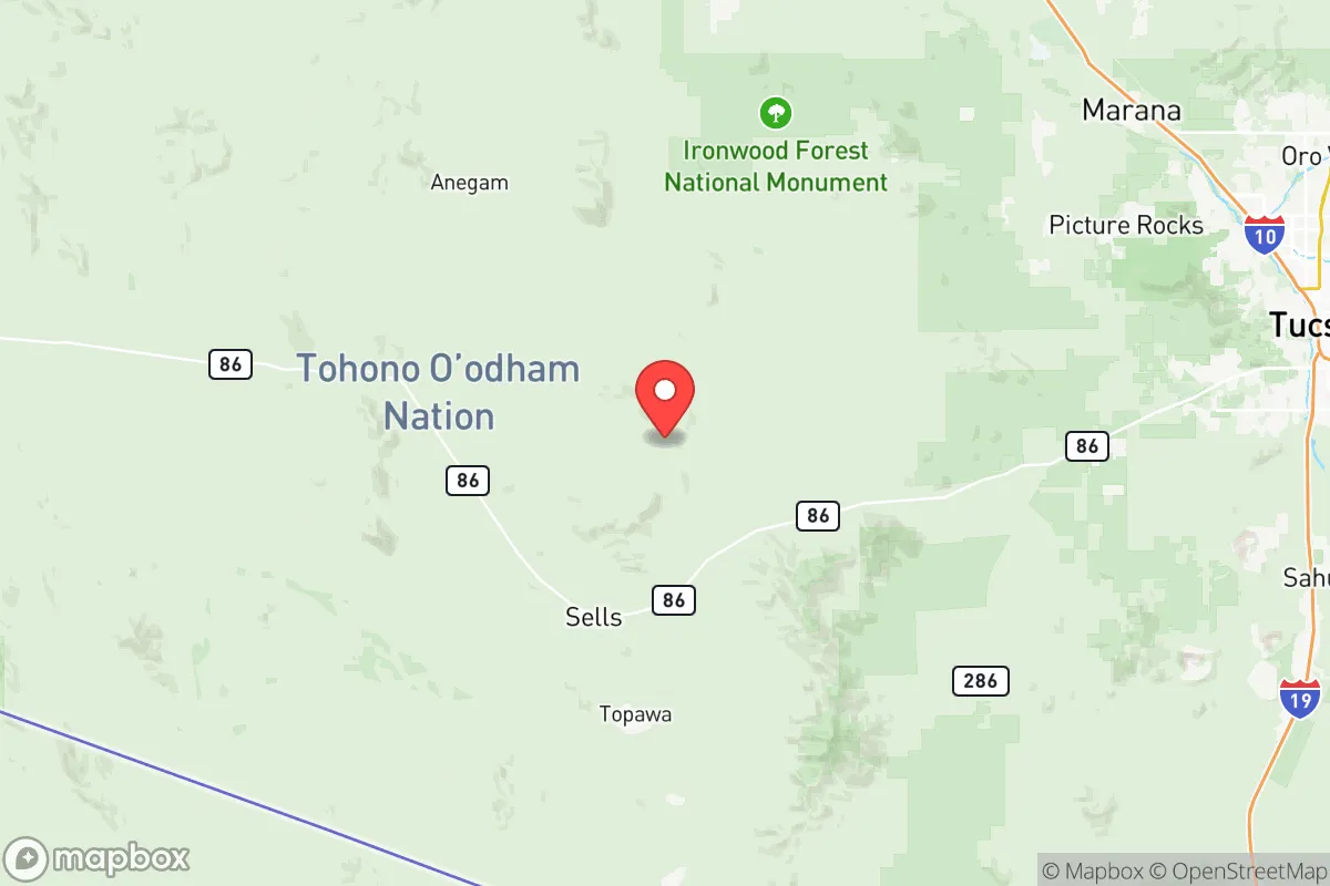
Pima County, anchored by Tucson, offers a strategic blend of geographic isolation and logistical access that appeals to relocation-minded readers prioritizing resilience and self-sufficiency. Its position in the Sonoran Desert, roughly 60 miles north of the Mexican border and flanked by mountain ranges, provides natural buffers against the sprawl and congestion of Phoenix (110 miles northwest) while still maintaining highway connections via I-10 and I-19. For a conservative-leaning audience weighing disaster readiness, the county’s low population density outside the Tucson metro—towns like Sahuarita, Marana, and Oro Valley offer semi-rural alternatives—combined with a dry climate and limited exposure to major industrial fallout zones, makes it a noteworthy candidate for a strategic relocation assessment.
Geographic position and natural advantages for disaster readiness
Pima County sits in a basin-and-range landscape, with the Santa Catalina, Rincon, and Tucson Mountains creating natural barriers that slow urban expansion and provide defensible terrain for those seeking remote homesteads. The region’s elevation—Tucson averages 2,400 feet, with higher ground in Mount Lemmon at over 9,000 feet—offers temperature variation and escape from extreme summer heat. Unlike coastal or floodplain areas, Pima County faces minimal hurricane, tornado, or earthquake risk. The arid climate reduces mold, rot, and infrastructure corrosion, extending the lifespan of stored supplies and off-grid equipment. Water is the primary constraint, but the county sits atop the Avra Valley and Santa Cruz River aquifers, and the Central Arizona Project canal delivers Colorado River water to the area, providing a redundant municipal supply that many desert counties lack.
Risks, exposures, and proximity to fallout-relevant landmarks
While Pima County avoids the worst of America’s high-risk industrial corridors, it is not without exposure. The Davis-Monthan Air Force Base in Tucson, home to the 355th Wing and the Aerospace Maintenance and Regeneration Group (the “boneyard”), is a potential military target in a conflict scenario. The county also lies within 200 miles of the Palo Verde Nuclear Generating Station near Phoenix—the largest nuclear plant in the U.S. by output—and the Port of Nogales border crossing, a high-volume commercial and drug-trafficking corridor that could see disruption during civil unrest. Wildfire risk is moderate in the foothills and forested areas, particularly around Mount Lemmon and the Coronado National Forest. Flash flooding occurs in arroyos during monsoon season (July–September), but these are localized and predictable. Overall, the county’s risk profile is lower than coastal metros or industrial hubs like Houston or Los Angeles, but not negligible.
Practical resilience for a relocator: food, water, energy, and defensibility
For a relocator focused on self-sufficiency, Pima County offers a mixed but workable picture. Water is the critical factor: Tucson Water provides treated municipal supply, but well drilling in rural areas (e.g., Green Valley or Arivaca) is feasible with permits, and rainwater harvesting is legal and incentivized. Food production is possible year-round with shade structures and drip irrigation—the region supports citrus, dates, olives, and desert-adapted vegetables—but soil quality is poor and requires amendment. Energy is a strength: solar irradiance is among the highest in the U.S., making photovoltaic systems highly effective, and net metering policies remain favorable. Defensibility varies: the open desert offers long sightlines but limited cover, while the mountain foothills provide chokepoints and natural barriers. The county’s gun culture is strong, with a high rate of firearm ownership and a permissive legal environment for concealed carry and stand-your-ground laws. Community resilience is bolstered by a network of Mormon and Mennonite preparedness groups, as well as active ham radio clubs and off-grid meetups in the Vail and Benson areas.
The overall strategic picture for Pima County is one of moderate-to-high resilience with clear trade-offs. It avoids the catastrophic risks of coastal hurricanes, seismic zones, and dense industrial targets, while offering strong solar energy potential, defensible terrain, and a culture of self-reliance. The downsides are water scarcity, proximity to a major military base and border crossing, and the need for significant upfront investment in water storage and soil improvement. For a conservative-leaning family or individual willing to adapt to desert living and secure a property with well water and solar, Pima County represents a defensible, low-profile base with access to Tucson’s hospitals, supply chains, and airports when needed—without being swallowed by the vulnerabilities of a megacity.

* Values derived from national, state, county, city and local statistics and may differ in a specific area. Last updated: 2026-07-11T13:23:28.000Z
Narrative content on this page is AI-generated and may contain mistakes. Verify any details that matter before acting on them.
ReloMaps may earn a commission from affiliate links at no extra cost to you.

