Photo: Wikipedia
Strategic Assessment of Apache County
Strong survivability profile. Good buffer from population centers, with manageable environmental and tactical risks.
What does the Strategic Assessment tell us?
Our Strategic Assessment grades tactical survivability of an area. Major population centers, military targets, fallout zones, natural disasters, and border exposure all drive risk — lower exposure means a more defensible position in a crisis.
This is heavily inspired by Joel Skousen's Strategic Relocation book. Highly recommended you checkout the book ($)What does this tell us?
Our Strategic Assessment grades tactical survivability of an area. Major population centers, military targets, fallout zones, natural disasters, and border exposure all drive risk — lower exposure means a more defensible position in a crisis.
This is heavily inspired by Joel Skousen's Strategic Relocation book. Highly recommended you checkout the book ($)Strategic Pillars

Key Distances
Strategic Assessment Analysis
Apache County, Arizona, offers a compelling strategic profile for relocation-minded readers prioritizing resilience, self-sufficiency, and distance from major metropolitan vulnerabilities. Stretching across the high desert of northeastern Arizona, the county is anchored by the small communities of St. Johns (the county seat), Springerville, Eagar, and the Navajo Nation towns of Chinle and Window Rock. Its defining advantage is sheer remoteness: the county covers over 11,000 square miles yet holds fewer than 70,000 residents, placing it among the least densely populated areas in the continental United States. This low population density, combined with high elevation (most settlements sit above 5,500 feet) and a dry climate, creates a natural buffer against many of the cascading risks that threaten more crowded, interconnected regions.
Geographic position and natural advantages for long-term security
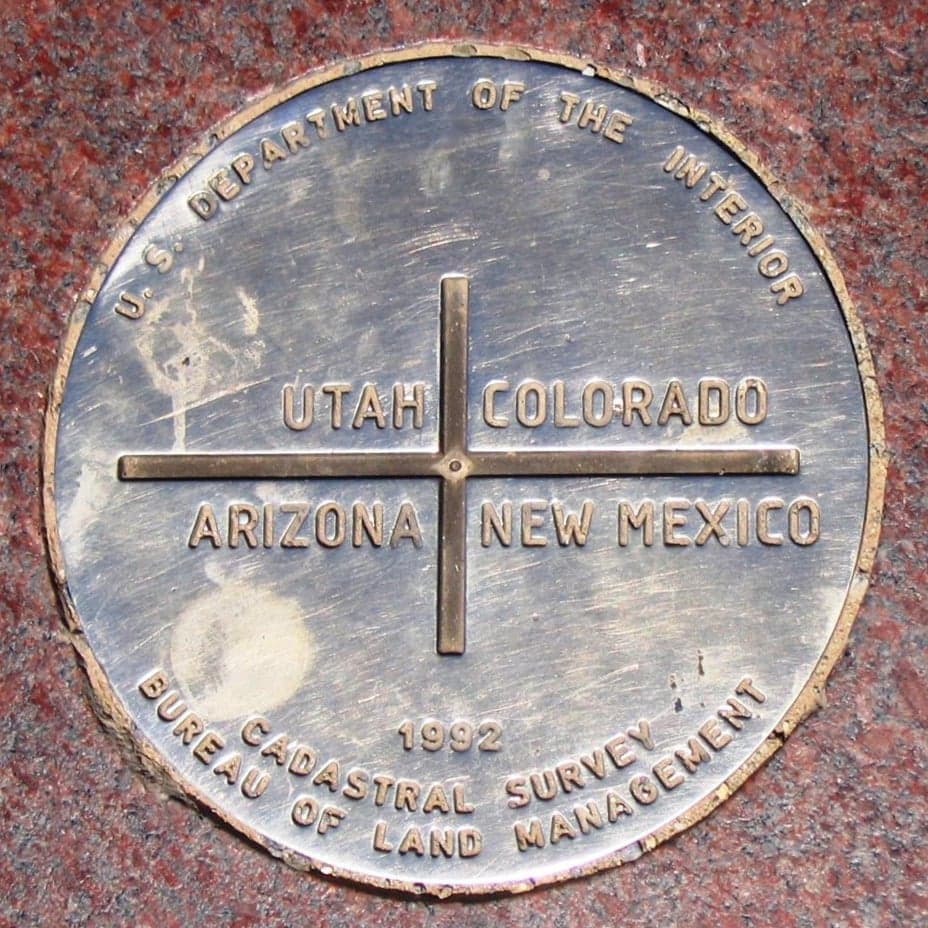
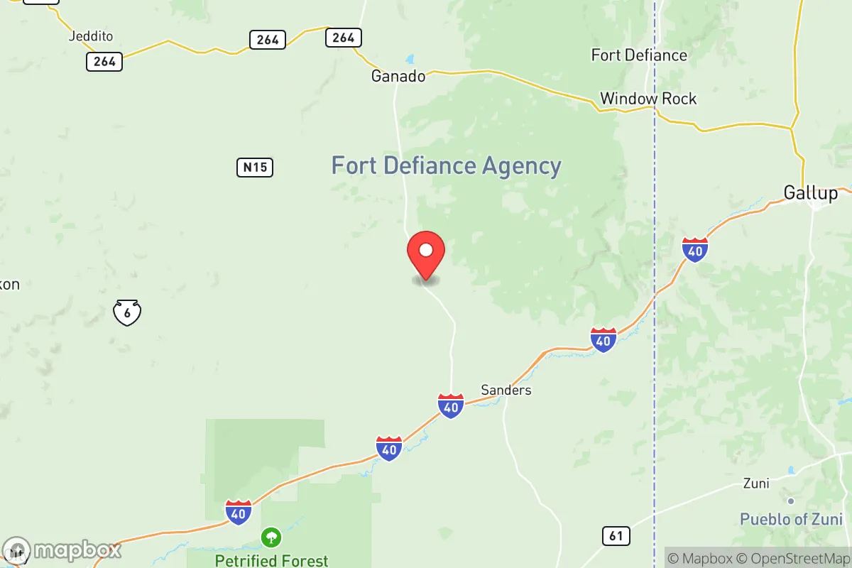
Apache County's location is its primary strategic asset. Situated along the Arizona-New Mexico border, the county is roughly equidistant from Phoenix (about 200 miles west), Albuquerque (about 180 miles east), and Flagstaff (about 150 miles northwest). This distance from major population centers means the county is unlikely to experience the immediate fallout from a catastrophic event targeting a large city — whether that event is a natural disaster, a grid failure, or a man-made incident. The county's high elevation (Springerville sits at 6,970 feet) provides a cooler, drier climate than the low desert, reducing risks from extreme heat and making the area less prone to the wildfires that plague lower-elevation parts of Arizona. The White Mountains, which run through the county's central and southern portions, offer forested terrain, reliable snowmelt, and multiple perennial streams — a stark contrast to the arid landscapes that dominate much of the Southwest. The Little Colorado River and the Salt River both originate in Apache County, providing surface water sources that are rare in the region. For a relocator thinking in decades, not years, this combination of elevation, water access, and isolation is hard to beat.
Risks, exposures, and proximity to fallout-relevant landmarks
No strategic assessment is complete without a clear-eyed look at vulnerabilities. Apache County's greatest risk is its proximity to the Four Corners region's energy and industrial infrastructure. The Four Corners Power Plant and the San Juan Generating Station — both coal-fired facilities — sit within 50 miles of the county's northern border, near Farmington, New Mexico. While these plants are in partial decline, they remain significant industrial targets in a grid-disruption scenario. Additionally, the county lies within 150 miles of the Kirtland Air Force Base and Sandia National Laboratories in Albuquerque, both of which are high-value strategic assets. A major event at either facility could produce fallout patterns that, depending on prevailing winds, might affect eastern Apache County. The county also sits near the Interstate 40 corridor, a major transcontinental freight route that runs just north of the county line; a disruption or targeted incident along I-40 could choke supply chains for weeks. Natural risks include periodic drought, which stresses the region's already limited agriculture, and the potential for severe winter storms that can isolate communities for days at a time — particularly in the higher-elevation towns of Springerville and Eagar. The county's vast, open terrain also means that law enforcement response times can be long, especially in the more remote stretches of the Navajo Nation. For a relocator, the key takeaway is that Apache County is not immune to risk, but its risks are primarily industrial and weather-related rather than the cascading urban collapse scenarios that threaten denser areas.
Practical resilience for a relocator: food, water, energy, and defensibility
For someone serious about self-sufficiency, Apache County offers a mixed but generally favorable picture. Water is the most critical resource, and the county has genuine advantages here. The White Mountains receive significant snowfall, and the spring melt feeds the Little Colorado River, the Salt River, and numerous smaller creeks. Groundwater is accessible in many areas, though well depths vary. St. Johns and Springerville both have municipal water systems drawing from surface and groundwater sources, but a relocator should plan for a private well or a rainwater catchment system — especially if moving to a more remote parcel. Food production is limited by the short growing season (roughly May through September at higher elevations) and the alkaline soil common in the region. However, the county has a history of small-scale ranching and dryland farming, and with careful soil management, a determined homesteader can produce vegetables, hay, and small grains. The local food economy is thin — there are no major grocery chains outside of St. Johns and Springerville — so a relocator should plan to grow a significant portion of their own food or be prepared for long supply lines. Energy is a bright spot: Apache County has abundant solar potential (over 280 sunny days per year) and, at higher elevations, decent wind resources. Off-grid solar setups are common, and the county's building codes are generally lenient for rural properties. Defensibility is perhaps the county's strongest suit. The low population density means that a well-chosen property — ideally one with a clear view of approach routes and natural barriers like ridges or washes — offers a level of security that is simply unavailable in suburban or urban settings. The county's culture of self-reliance, shaped by generations of ranching and Navajo traditions, means that neighbors are more likely to be helpful than intrusive. For a relocator willing to invest in infrastructure and learn the rhythms of high-desert living, Apache County provides a solid foundation for long-term resilience.
The overall strategic picture for Apache County is one of trade-offs. It offers genuine geographic isolation, reliable water sources, abundant solar energy, and a culture of independence — all critical for a resilience-minded relocator. But it also carries exposure to industrial targets in the Four Corners region, a short growing season, and the logistical challenges of living far from major supply centers. For a single individual or family willing to put in the work — drilling a well, building a solar array, learning to garden at 6,000 feet — Apache County represents one of the more defensible and sustainable options in the Southwest. It is not a place for someone seeking convenience or proximity to urban amenities. But for a reader who values distance from fallout zones, control over their own resources, and a community that understands hardship, Apache County deserves serious consideration.

* Values derived from national, state, county, city and local statistics and may differ in a specific area. Last updated: 2026-08-27T16:43:31.000Z
Narrative content on this page is AI-generated and may contain mistakes. Verify any details that matter before acting on them.
ReloMaps may earn a commission from affiliate links at no extra cost to you.

