
Strategic Assessment of Juneau City And County
Strong survivability profile. Good buffer from population centers, with manageable environmental and tactical risks.
What does the Strategic Assessment tell us?
Our Strategic Assessment grades tactical survivability of an area. Major population centers, military targets, fallout zones, natural disasters, and border exposure all drive risk — lower exposure means a more defensible position in a crisis.
This is heavily inspired by Joel Skousen's Strategic Relocation book. Highly recommended you checkout the book ($)What does this tell us?
Our Strategic Assessment grades tactical survivability of an area. Major population centers, military targets, fallout zones, natural disasters, and border exposure all drive risk — lower exposure means a more defensible position in a crisis.
This is heavily inspired by Joel Skousen's Strategic Relocation book. Highly recommended you checkout the book ($)Strategic Pillars

Key Distances
Strategic Assessment Analysis
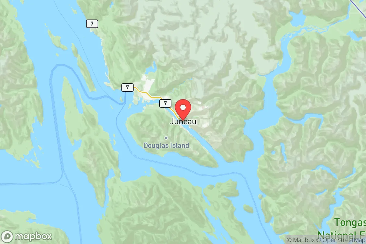
Juneau City and Borough, Alaska’s capital, offers a resilience profile that diverges sharply from the Lower 48—its isolation from major industrial targets and roadless access create both strategic advantages and practical challenges for a relocator prioritizing disaster readiness and self-sufficiency. The city of roughly 32,000 sits in a narrow coastal strip between the Gastineau Channel and steep mountains, with no road connections to the rest of Alaska or North America. This geographic separation from potential fallout zones like Anchorage’s Joint Base Elmendorf-Richardson or the oil infrastructure at Valdez’s marine terminal means Juneau ranks low on a primary vector of risk for a conservative-leaning reader: proximity to high-value strategic or industrial targets. However, that same isolation complicates food, energy, and supply chains, demanding a thorough understanding of local resources before relocation.
Geographic position and natural advantages for off-grid living
Juneau’s setting in the Tongass National Forest—the largest national forest in the United States—provides abundant timber, freshwater, and wildlife for a household moving toward self-sufficiency. The borough spans over 3,200 square miles, most of it undeveloped temperate rainforest, with over 2,500 inches of annual snowfall in the mountains and roughly 90 inches of precipitation at sea level, meaning water scarcity is rarely a concern. The Mendenhall Valley, where much of the population clusters, sits at the base of the Juneau Icefield, a 1,500-square-mile frozen reservoir that feeds multiple rivers and creeks—ideal for gravity-fed water systems or simple rainwater catchment. The terrain itself offers natural defensibility: only two major roads (Glacier Highway and Douglas Highway) provide vehicular access to most neighborhoods, and the surrounding peaks and channels create a natural fortress effect. For a relocator assessing strategic depth, Juneau’s combination of year-round freshwater, timber, and limited entry points is a substantial advantage over more accessible Alaskan towns like Wasilla or Kenai, which sit closer to Anchorage’s petroleum and military infrastructure.
Risks, exposures, and proximity to fallout-relevant landmarks
While Juneau is far from the typical Lower-48 target set—no refineries, no nuclear plants, no major military bases within the borough—its exposure profile centers on two categories: natural hazards and supply-chain fragility. The city sits in a seismically active zone along the Fairweather Fault, with the 1964 Good Friday earthquake (9.2 magnitude) causing significant local landslides and tsunami waves. Avalanche paths cross several residential areas on Douglas Island and in the Mendenhall Valley, and the borough’s Emergency Programs office actively monitors avalanche chutes that have buried homes in the past. For climate-related risk, rising sea levels and glacial retreat are accelerating erosion along shoreline property. More critically for a strategic assessor, the closest plausible “high-value” fallout-related landmarks are Anchorage’s Joint Base Elmendorf-Richardson, about 570 miles north by air, and the Port of Valdez’s Trans-Alaska Pipeline Terminal, roughly 500 miles east—distances that place Juneau well outside any meaningful radioactive plume radius for all but the largest strategic exchange. The only military presence within the borough is the Coast Guard’s Aircraft Station Juneau and Base Support Unit at the airport, which is small and focused on search-and-rescue, not strategic deterrence. This relative remoteness from national-level targets is a core selling point for a reader worried about societal collapse scenarios, though it comes with the trade-off that evacuation routes are limited to air and sea—neither of which would function during a widespread crisis.
Practical resilience for a relocator: food, water, energy, and defensibility
For a family or individual moving to Juneau with self-sufficiency in mind, the practical picture is mixed but workable with advance planning. Local food production is constrained by climate and soil: the growing season runs roughly May through September, with cool summers and heavy rainfall favoring root vegetables, greens, and berries over grains or heat-loving crops. The Alaska Cooperative Extension in Juneau provides soil testing and guidance for raised-bed gardening, and many residents supplement with community garden plots in the Mendenhall Valley and Douglas. Wild salmon runs in the Gastineau Channel, Taku River, and local creeks offer a reliable protein source for those with fishing gear and a license—Juneau’s commercial and subsistence harvests of king, sockeye, and coho salmon are among the most accessible in Southeast Alaska. Moose hunting is limited in the borough, but black-tailed deer are present on the outer coast and islands. For water, the Juneau-Douglas Water Utility draws from clear wells and surface sources, but a relocator installing a private well or rainwater system faces few regulatory hurdles outside the city core. Energy is the biggest vulnerability: Juneau’s electricity comes from the Snettisham Hydroelectric Project, a single-dam facility accessed by a 27-mile tunnel through mountains, with a backup diesel plant at the Aurora Harbor. A sustained earthquake or landslide disrupting the tunnel could cut power for weeks—any serious prepper plan must include solar panels, a generator, or a wood stove for heat. Defensibility is boosted by the aforementioned limited road network: only two bridges connect downtown to Douglas Island, and the airport and ferry terminals are discrete points that could be secured by a small group. However, the borough’s demographic density (roughly 12 people per square mile, with most in the valley) means that social cohesion—not physical fortification—is the actual deterrent to widespread disorder.
The overall strategic picture for Juneau favors a relocator who values isolation and natural resources over logistics and infrastructure. Its distance from Anchorage, Valdez, and any Lower-48 target makes it one of the least exposed incorporated areas in the United States to direct national-security risks, while its abundant water, timber, and seafood provide a baseline for subsistence. The trade-offs are real: dependence on a single hydroelectric plant, a short growing season, and reliance on barge and air freight for fuel, medical supplies, and manufactured goods. For a single individual or family willing to invest in alternate energy, food storage, and marine-based transportation, Juneau offers a defensible, low-probability-of-attack environment that few other state capitals can match—and none in the contiguous states. The key is to treat the move as a serious logistical undertaking, not a romantic escape; those who arrive with skills in fishing, carpentry, and mechanical repair will find the borough far more accommodating than those expecting to buy their way into self-sufficiency.

* Values derived from national, state, county, city and local statistics and may differ in a specific area. Last updated: 2026-07-06T10:54:11.000Z
Narrative content on this page is AI-generated and may contain mistakes. Verify any details that matter before acting on them.
ReloMaps may earn a commission from affiliate links at no extra cost to you.

