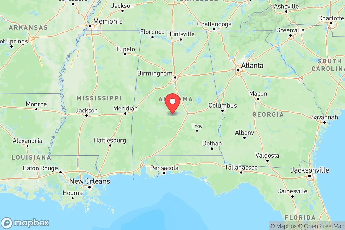
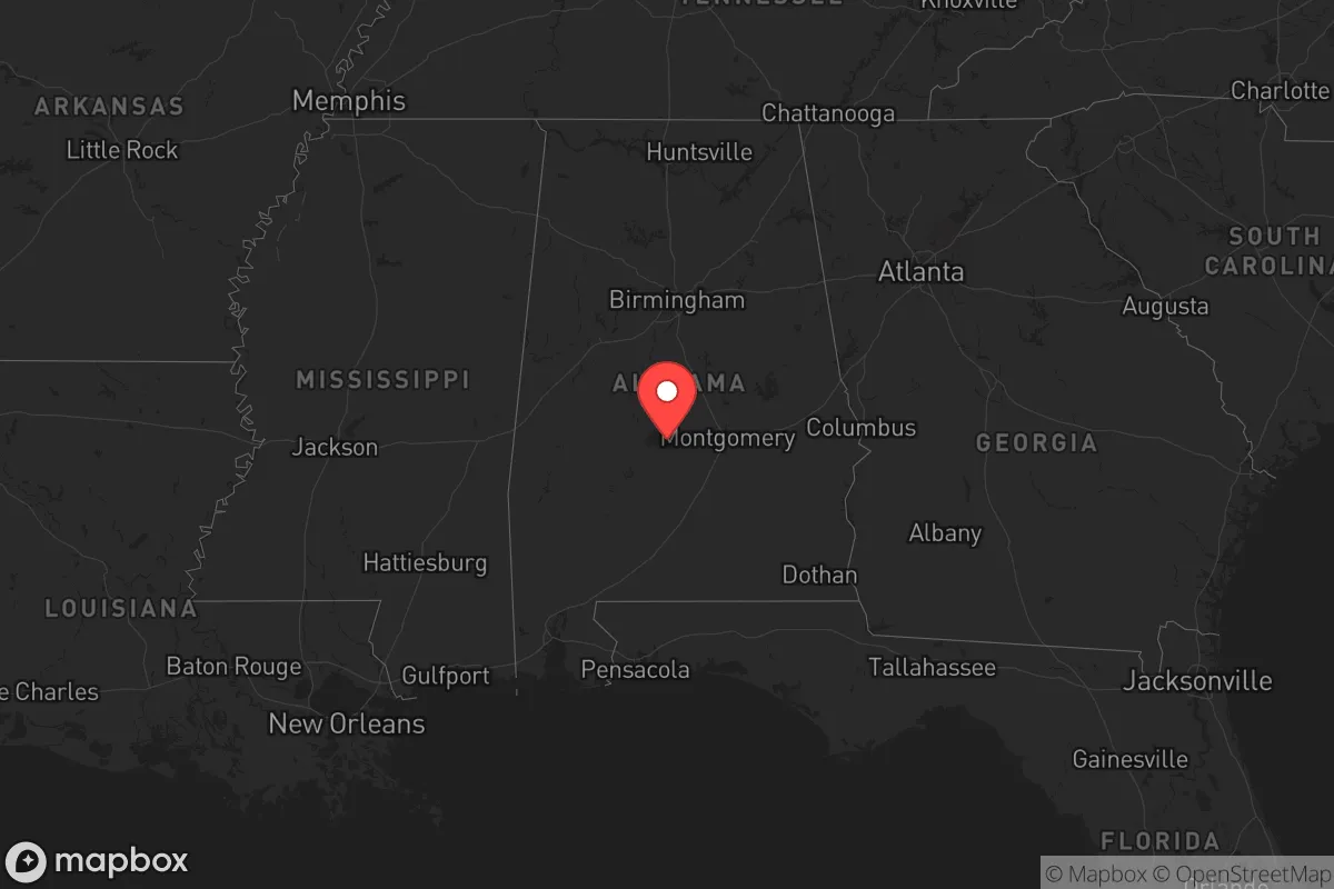
Photo: Wikipedia
Strategic Assessment of Alabama
Workable tactical position. Some exposure to population density or targets, but generally defensible in a crisis.
What does the Strategic Assessment tell us?
Our Strategic Assessment grades tactical survivability of an area. Major population centers, military targets, fallout zones, natural disasters, and border exposure all drive risk — lower exposure means a more defensible position in a crisis.
This is heavily inspired by Joel Skousen's Strategic Relocation book. Highly recommended you checkout the book ($)What does this tell us?
Our Strategic Assessment grades tactical survivability of an area. Major population centers, military targets, fallout zones, natural disasters, and border exposure all drive risk — lower exposure means a more defensible position in a crisis.
This is heavily inspired by Joel Skousen's Strategic Relocation book. Highly recommended you checkout the book ($)Regional Safe Places
Below is our recommended "safe zones" in Alabama and the surrounding area based on our strategic heuristics. For most people, it's unrealistic to live in a “safe zone” full-time due to work, family or other personal reasons. They tend to be more rural. However, many of these areas are perfect for second homes and retreat properties that double as a vacation home or even a short-term rental.
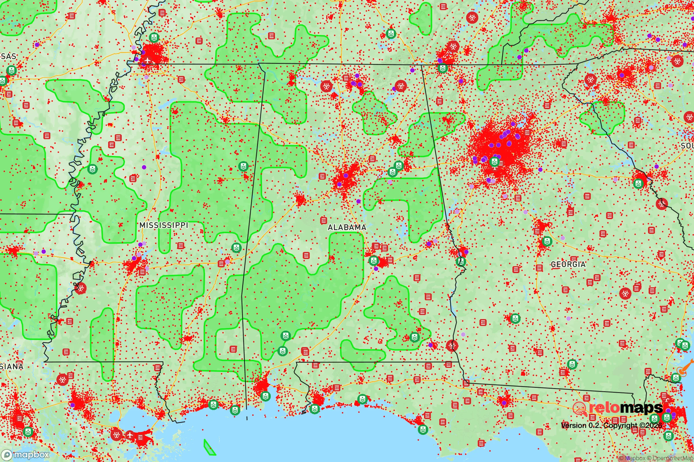
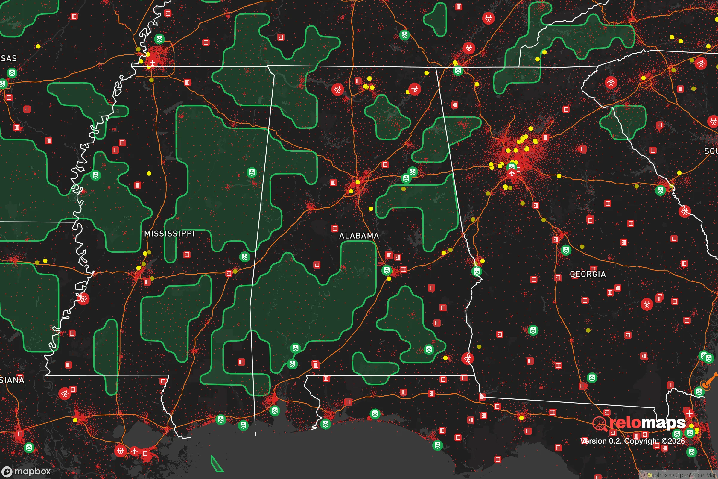


Important Note: For informational purposes only. This does not mean nothing bad ever happens in the green zones. Please use common sense. This is based on public data and modeled with AI. We tried to take a conservative approach but mistakes happen. We update this regularly as new information becomes available.
Solar Generator Recommendations
Backup power matters more here than in safer locations. We've picked three solar generators across budgets and capacity tiers — start with the budget unit if you only need a few essentials, or step up if you want to run a fridge and HVAC for days at a time.

Jackery Portable Power Station Explorer 300
Budget OptionPower on the Go: Weighing only 11 lbs, it's convenient to set up and store with book-sized foldable solar panels

BLUETTI Portable Power Station AC180
Designed for both indoor and outdoor scenarios, AC180 is highly capable as it has a robost capacity and continuous output power.

EF ECOFLOW DELTA Pro Ultra Power Station
Upgraded PickEcoFlow DELTA Pro Ultra is a whole-home energy system designed to grow with your family. Integrated with the Smart Home Panel 2, it scales to meet your evolving energy needs — keeping your home powered, intelligent, and secure through every stage of life.
We earn a commission, at no additional cost to you.
Strategic Assessment Analysis
Alabama offers a compelling blend of geographic resilience and logistical access for the relocation-minded reader, balancing deep rural buffers with crucial infrastructure links. The state’s position in the Deep South provides a significant strategic advantage: it sits within a day’s drive of most U.S. military command centers, major Gulf energy hubs, and the nation’s agricultural heartland, yet large swaths remain sparsely populated enough to offer genuine retreat potential. For a family or individual weighing disaster readiness against quality of life, Alabama presents a tier-two option—less exposed than Florida’s coastline or Georgia’s Atlanta metro, but more connected than interior plains states like Kansas or Nebraska.
Alabama’s geographic position and natural advantages for self-sufficiency
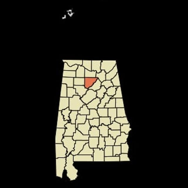
Alabama’s geography is marked by three distinct belts that influence resilience: the Gulf Coast, the Black Belt agricultural region, and the Appalachian foothills in the north. The northern third of the state, particularly around Huntsville and Fort Payne, sits on the Cumberland Plateau, offering higher elevation, cooler winters, and abundant spring-fed water sources. This region’s karst geology yields numerous natural springs—the Big Spring in Huntsville alone produces over 150 million gallons of water daily—making long-term water security a realistic prospect for those with appropriate property. The Black Belt, stretching from Selma to Montgomery, provides rich soil for subsistence farming, though its clay-heavy composition can pose drainage challenges. The southern coastal plain, anchored by Mobile Bay, grants access to Gulf shipping and the Port of Mobile, but its flat, low-lying terrain and hurricane exposure cut against defensibility. For the relocator prioritizing escape from urban corridors, Alabama’s interior counties—Blount, Marshall, and Winston—maintain population densities under 60 people per square mile, with large stretches of national forest (Bankhead, Talladega, and Conecuh) providing public land buffers and game habitat.
Natural and man-made risks: what relocators face in Alabama
Alabama’s risk profile is dominated by weather extremes rather than man-made industrial exposure, which differentiates it from states like Texas or Louisiana. Hurricanes are the primary seasonal threat: the Gulf Coast from Dauphin Island to the Florida line faces direct strike potential every year from June to November, with storm surge pushing as far as 50 miles inland in catastrophic events (e.g., Hurricane Frederic in 1979 or Hurricane Ivan in 2004). Inland counties—anything north of U.S. Highway 80 (roughly the Montgomery latitude)—see significantly reduced wind risk, but tornadoes are an annual reality across the entire state. Alabama sits squarely in Dixie Alley, where nocturnal tornadoes and high-shear spring storms produce EF-3 and above events regularly. The March 2021 outbreak (over 100 tornadoes in two days) demonstrated that no county is immune. Flooding is localized but serious in the Tennessee River Valley (Huntsville, Decatur) and along the Black Warrior River near Tuscaloosa. On the man-made side, Alabama’s exposure is moderate: the Tennessee Valley Authority’s nuclear facilities at Browns Ferry (near Decatur) and the retired Bellefonte site represent the primary radiological risk, though both are heavily regulated. The Colonial Pipeline terminal near Helena and the heavy industrial corridor around Birmingham (steel, cement, chemical plants) present local contamination risks but are not regional-scale danger zones. For the fallout-aware reader, Alabama’s lack of strategic nuclear targets—no major command-and-control centers, no ICBM silos, and only one military base of note at Maxwell-Gunter Air Force Base in Montgomery—makes it a lower-priority target than Colorado, California, or Virginia.
Food, water, energy, and defensibility: practical resilience for a relocator
Alabama’s practical resilience scores depend heavily on which sub-region you choose. Water availability is a strong point statewide: the Tennessee and Coosa River systems provide surface water access, and many rural homes rely on dug wells that draw from the abundant Appalachian aquifers. In the northern counties, natural springs emerge at high volume, allowing off-grid water independence with a pump or gravity feed. Food security is bolstered by the state’s agricultural base: Alabama ranks 9th in peanuts, 17th in broiler chickens, and 25th in corn, with small-scale livestock operations common in Cleburne and Franklin counties. The growing season ranges from 220 days in the north to over 300 days on the coast, enabling year-round subsistence gardening with proper planning (cold frames for winter greens). Energy infrastructure is a mixed picture: the Tennessee Valley Authority provides reliable, low-cost power to the northern half of the state, but the grid is aging and susceptible to ice storms (e.g., February 2021 outages affected over 100,000 homes). Natural gas pipelines run through the state’s center, but propane availability is high in rural areas—many farm supply stores stock bulk deliveries. Defensibility is where Alabama’s geography shines: the northern counties offer steep ridges, narrow valleys, and dense hardwood forests that create natural chokepoints and concealment. Properties near Cheaha Mountain (the state’s highest point at 2,413 feet) or along the Little River Canyon provide terrain-based security that flat coastal counties cannot match. For the relocator seeking a balanced position, the area around Cullman or Guntersville offers good water, farmland, and elevation within a 90-minute drive of Huntsville’s medical and supply infrastructure.
The overall strategic picture for Alabama is one of manageable risk with strong resource independence, provided you choose your location carefully. The northern half of the state—above the Fall Line that arcs roughly through Montgomery—offers the best combination of water, defensible terrain, and distance from hurricane surge, while the Black Belt provides agricultural potential if you can work with heavy soils. The state’s relatively low population density (94th in the nation at 97 people per square mile), limited strategic value to a potential adversary, and robust local food and water systems make it a solid bet for a family or individual prioritizing self-sufficiency over convenience. The trade-offs are real: coastal exposure in the south, tornado risk everywhere, and a humid climate that demands attention to moisture management in storage and home construction. But for the relocator who prefers a buffer of forests and red clay to the sprawl of Atlanta or the vulnerabilities of the Gulf Coast proper, Alabama offers a defensible pocket of the South that rewards preparation over panic.

Top 10 Cities by Strategic Assessment in Alabama
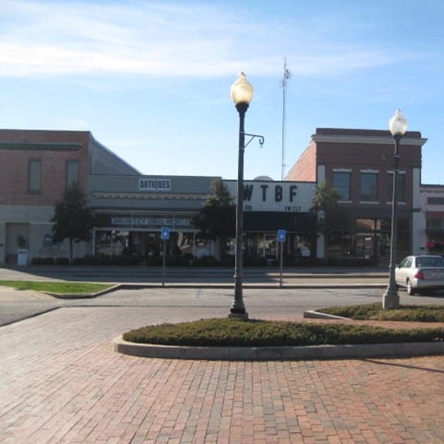
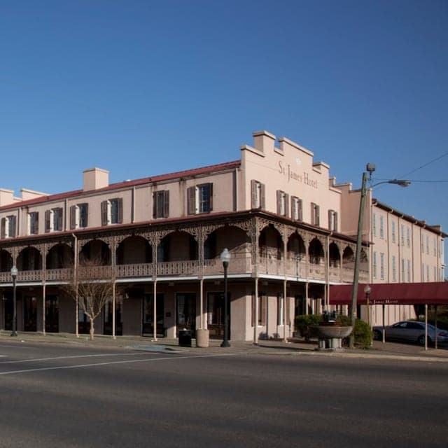
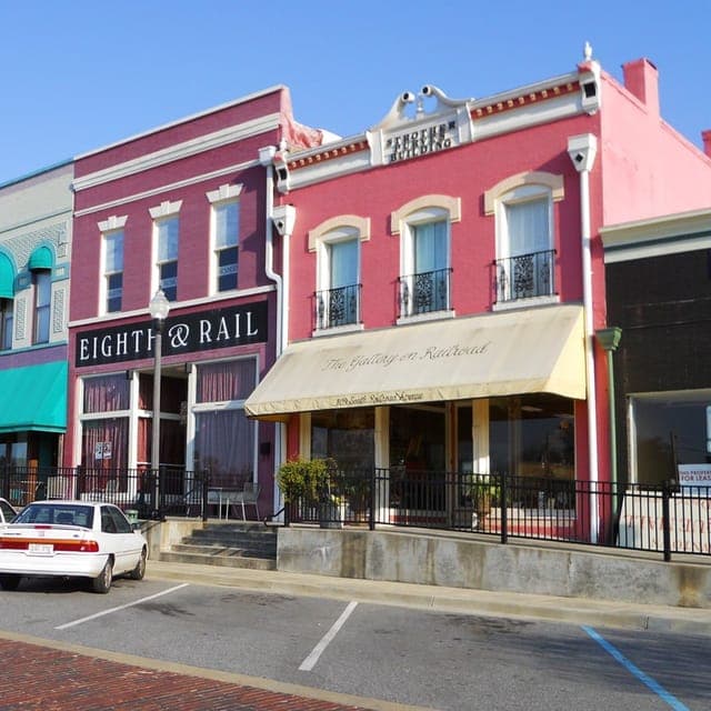
* Values derived from national, state, county, city and local statistics and may differ in a specific area. Last updated: 2026-07-03T04:07:26.000Z
Narrative content on this page is AI-generated and may contain mistakes. Verify any details that matter before acting on them.
ReloMaps may earn a commission from affiliate links at no extra cost to you.

