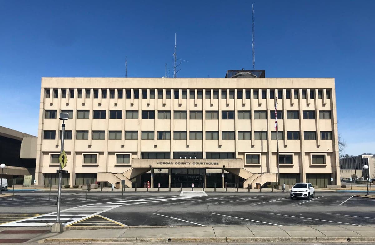
Photo: Wikipedia
Strategic Assessment of Morgan County
Workable tactical position. Some exposure to population density or targets, but generally defensible in a crisis.
What does the Strategic Assessment tell us?
Our Strategic Assessment grades tactical survivability of an area. Major population centers, military targets, fallout zones, natural disasters, and border exposure all drive risk — lower exposure means a more defensible position in a crisis.
This is heavily inspired by Joel Skousen's Strategic Relocation book. Highly recommended you checkout the book ($)What does this tell us?
Our Strategic Assessment grades tactical survivability of an area. Major population centers, military targets, fallout zones, natural disasters, and border exposure all drive risk — lower exposure means a more defensible position in a crisis.
This is heavily inspired by Joel Skousen's Strategic Relocation book. Highly recommended you checkout the book ($)Strategic Pillars

Key Distances
Strategic Assessment Analysis
Morgan County, Alabama offers a compelling mix of geographic resilience and practical self-sufficiency that appeals to relocation-minded individuals and families who prioritize disaster readiness. Anchored by the city of Decatur, the county sits at a strategic crossroads between Huntsville and Birmingham, providing access to economic hubs while maintaining a buffer from the concentrated risks of major metropolitan centers. The Tennessee River, which cuts through the heart of the county, provides both a natural defensive barrier and a reliable water source, making this area a serious contender for those evaluating long-term security and independence.
Geographic position and natural advantages for long-term security
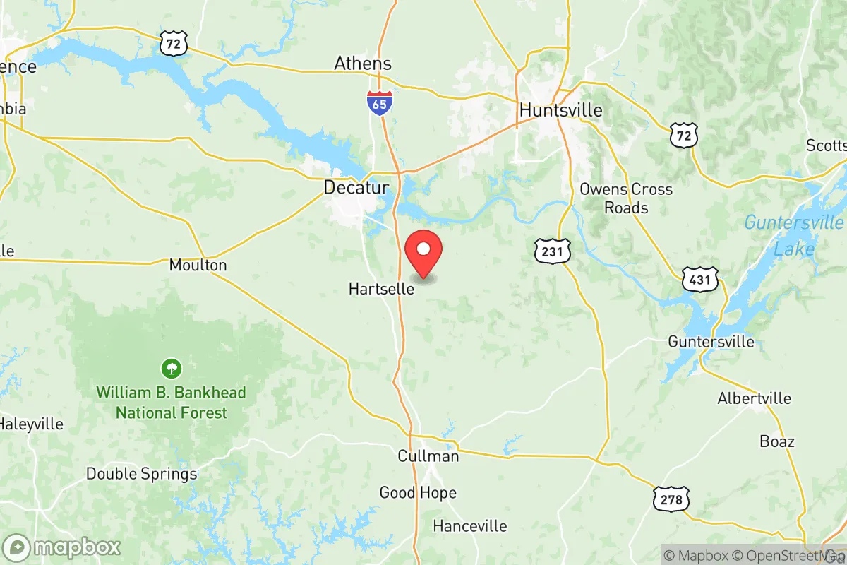
Morgan County's location in north-central Alabama places it in a relatively sheltered position compared to coastal or border regions. The area sits well inland, roughly 250 miles from the Gulf of Mexico, which significantly reduces exposure to hurricane storm surges and the most destructive wind events. The Tennessee Valley region benefits from the moderating influence of the river and surrounding foothills, creating a climate that supports year-round agriculture without the extreme temperature swings found further north. The county's topography includes rolling hills, forested ridges, and river valleys, offering numerous defensible homestead sites with natural cover and elevation advantages. Decatur itself is positioned along the Tennessee River at the intersection of major highways I-65 and US-72, providing efficient evacuation routes in multiple directions while avoiding the choke points common in larger cities. The proximity to the Wheeler National Wildlife Refuge and the Bankhead National Forest to the southwest gives residents access to over 180,000 acres of public land for hunting, foraging, and emergency resource extraction. These natural assets create a foundation for self-sufficiency that is difficult to replicate in flatter, more developed regions of the Southeast.
Risks, exposures, and proximity to fallout-relevant landmarks
While Morgan County avoids many of the worst natural disaster risks, it is not without vulnerabilities that a strategic relocator must weigh. The Tennessee River, while a water asset, also presents a flood risk for low-lying areas near Decatur and along the riverbanks, particularly during prolonged heavy rainfall events. The region sits in a moderate tornado zone, with the spring and fall severe weather seasons capable of producing strong storms, though the hilly terrain somewhat disrupts the long-track tornado paths common in the flatter parts of the Deep South. More critically for a resilience-focused analysis, Morgan County lies within a 100-mile radius of several high-value man-made targets. The Tennessee Valley Authority's Browns Ferry Nuclear Plant, located just west of Decatur in Limestone County, is a significant infrastructure landmark that could become a fallout-relevant concern in a major conflict or terrorist scenario. Additionally, the county is roughly 60 miles from the Redstone Arsenal in Huntsville, a major U.S. Army missile and rocket development and testing facility, and about 90 miles from the Arnold Air Force Base in Tullahoma, Tennessee. These military installations, while economic drivers, also represent potential primary or secondary targets in a large-scale conflict. The proximity to Huntsville's rapidly growing metropolitan area, with its concentration of defense contractors and tech infrastructure, introduces a higher probability of secondary effects from any disruption targeting that region. For the serious prepper, these factors mean that while Morgan County offers a buffer, it is not a remote or isolated sanctuary.
Practical resilience for a relocator: food, water, energy, and defensibility
For a family or individual looking to establish a self-sufficient homestead, Morgan County provides strong fundamentals. The growing season averages around 220 days, allowing for two full crop cycles of warm-season vegetables and a reliable cool-season garden. The soil in the river valleys is fertile loam, while the upland areas are more clay-based but workable with proper amendment. Local food production is supported by a network of farms, the Morgan County Farmers Market in Decatur, and multiple feed-and-seed supply stores that cater to small-scale agriculture. Water availability is a standout advantage: the Tennessee River provides an almost inexhaustible surface water source, and the county's groundwater aquifers are generally productive for private wells, with typical depths ranging from 100 to 300 feet. Rainfall averages about 55 inches per year, making rainwater catchment a viable supplementary strategy. Energy resilience is mixed but workable. The Tennessee Valley Authority grid is reliable but centralized, meaning a grid-down scenario would affect the entire region. However, the area's moderate climate means solar panels are effective year-round, and the forested landscape provides ample biomass for wood heating and cooking. Defensibility varies by location: the open farmland near the river offers less natural cover, while the wooded hillsides south of Decatur and around the town of Falkville provide better concealment and natural chokepoints. The county's road network includes multiple secondary routes that bypass the main highways, allowing for discreet movement if needed. The local population includes a significant number of hunters, farmers, and rural residents who already practice many of the skills essential for long-term survival, creating a cultural environment where preparedness is normalized rather than stigmatized.
The overall strategic picture for Morgan County is one of balanced opportunity with acknowledged limitations. It offers genuine advantages in water security, agricultural potential, and moderate climate that are hard to find in more arid or extreme regions. The presence of the Tennessee River as both a resource and a natural barrier, combined with the buffer from coastal threats, makes it a strong candidate for a relocation base. However, the proximity to Huntsville's defense infrastructure and the Browns Ferry nuclear plant means that a truly comprehensive preparedness plan must account for regional disruption scenarios. For the relocator who values a mix of rural self-sufficiency and reasonable access to medical care, supply chains, and employment in Decatur, Morgan County represents a pragmatic middle ground. It is not a remote bunker location, but it is a defensible, resource-rich area where a prepared family can build genuine resilience without isolating themselves from the practical benefits of modern infrastructure.

* Values derived from national, state, county, city and local statistics and may differ in a specific area. Last updated: 2026-07-06T09:23:55.000Z
Narrative content on this page is AI-generated and may contain mistakes. Verify any details that matter before acting on them.
ReloMaps may earn a commission from affiliate links at no extra cost to you.

