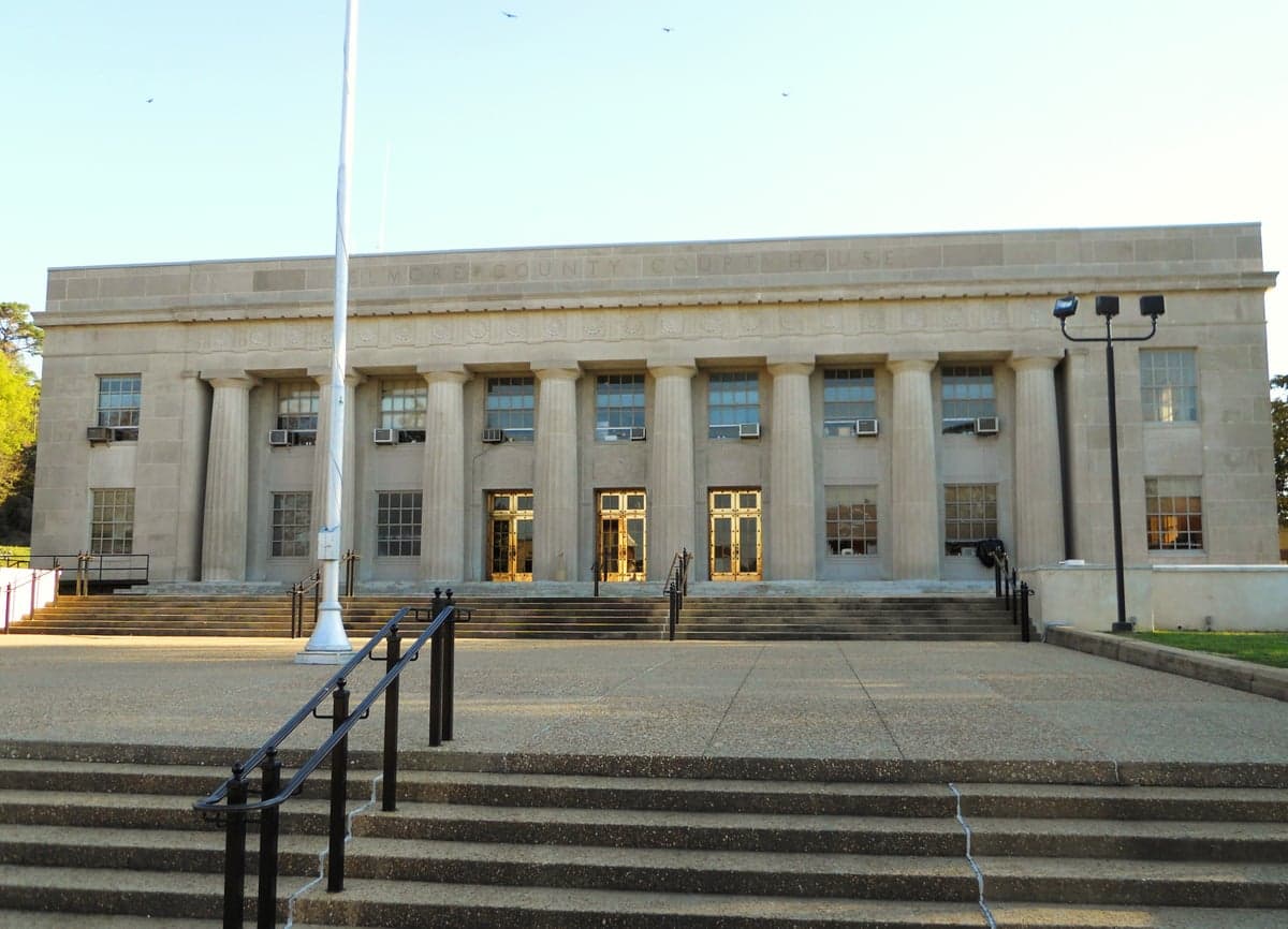
Photo: Wikipedia
Strategic Assessment of Elmore County
Workable tactical position. Some exposure to population density or targets, but generally defensible in a crisis.
What does the Strategic Assessment tell us?
Our Strategic Assessment grades tactical survivability of an area. Major population centers, military targets, fallout zones, natural disasters, and border exposure all drive risk — lower exposure means a more defensible position in a crisis.
This is heavily inspired by Joel Skousen's Strategic Relocation book. Highly recommended you checkout the book ($)What does this tell us?
Our Strategic Assessment grades tactical survivability of an area. Major population centers, military targets, fallout zones, natural disasters, and border exposure all drive risk — lower exposure means a more defensible position in a crisis.
This is heavily inspired by Joel Skousen's Strategic Relocation book. Highly recommended you checkout the book ($)Strategic Pillars

Key Distances
Strategic Assessment Analysis
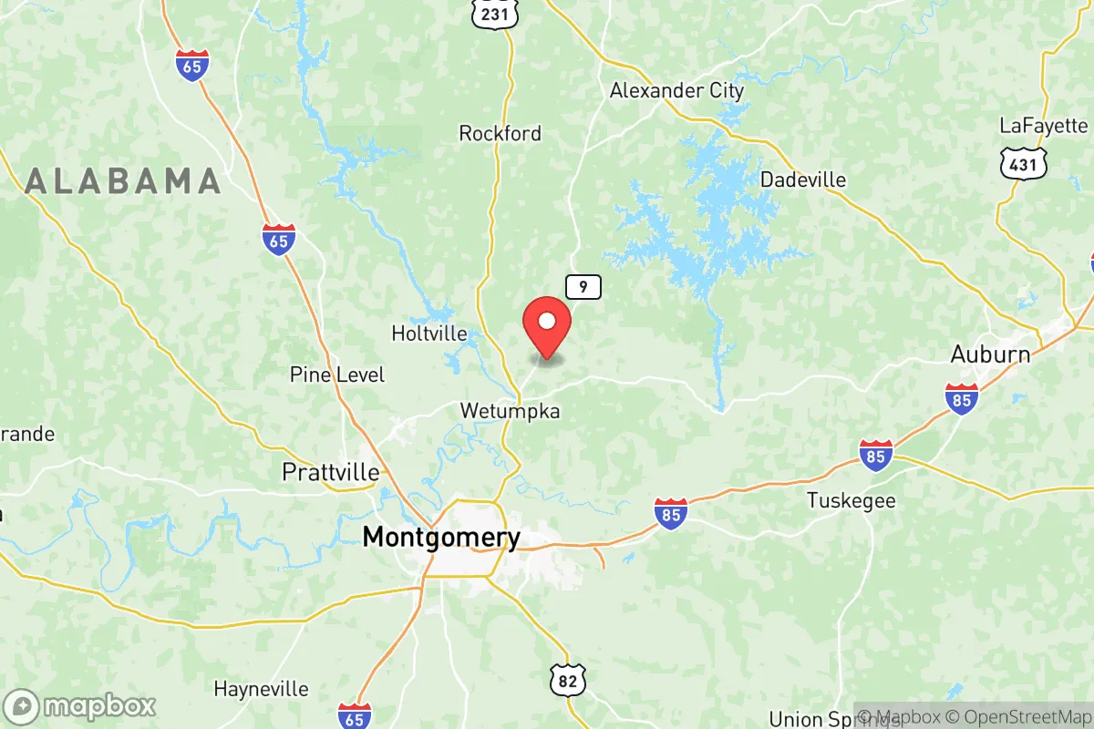
Elmore County, Alabama, offers a strategic blend of geographic resilience and practical self-sufficiency that appeals to relocators prioritizing preparedness and independence. Anchored by the county seat of Wetumpka and growing communities like Tallassee and Eclectic, the area sits at a defensible distance from major urban centers like Montgomery (just 15 miles west) and Birmingham (roughly 85 miles north), while remaining far removed from coastal hurricane zones and massive industrial corridor targets. The county’s position along the Coosa and Tallapoosa Rivers, combined with its rolling terrain and low population density (roughly 85,000 residents spread over 600 square miles), provides a natural buffer against both natural disasters and human-caused disruptions.
Geographic position and natural advantages for disaster resilience
Elmore County’s geography is a significant asset for anyone assessing long-term stability. The terrain is predominantly hilly and forested, with elevations ranging from 200 to 600 feet above sea level, which offers natural drainage and reduces the risk of widespread flooding—a key advantage over flatter, river-prone regions in the Deep South. The Coosa River, which forms much of the county’s western boundary, and the Tallapoosa River, which flows through the south near Tallassee, provide reliable freshwater sources without the same storm-surge vulnerability as coastal waterways. The county sits in Alabama’s Piedmont region, which has a lower frequency of catastrophic tornado activity compared to the state’s northern and central plains, though severe weather is still a seasonal risk. Proximity to the Talladega National Forest, just to the east, adds a massive, sparsely populated buffer zone that complicates any large-scale approach from that direction, reinforcing the area’s natural defensibility. The 15-mile separation from Montgomery means residents can access urban services and supply lines without being caught in the immediate fallout of a metropolitan event—a key tactical distance.
Risks and exposures: proximity to fallout-relevant landmarks in Elmore County
While Elmore County avoids the highest-tier national security and industrial targets, it is not without exposure. The most notable risk stems from Maxwell Air Force Base and Gunter Annex in Montgomery, a major military installation with airlift, cyber warfare, and intelligence operations that could become a secondary target in a conflict scenario. Maxell is roughly a 20-minute drive from Wetumpka, placing the county within a plausible fallout plume or secondary blast zone if the base were hit. Further south, the Hyundai Motor Manufacturing plant in Montgomery (adjacent to the county line) and the state’s industrial corridor along I-85 represent economic targets, though neither is the scale of a petrochemical refinery or strategic port. The county itself hosts the Alabama Power Company’s thermal plant near Tallassee, a coal-fired facility that could be a localized environmental hazard but is not a primary strategic asset. Away from human threats, Elmore County faces natural wildfire risk in dry seasons due to extensive timberland, and periodic flooding along the Coosa River after heavy rainfall, but these are manageable with standard preparedness measures. The area’s distance from the Gulf Coast (roughly 150 miles) eliminates hurricane storm surge, though remnant tropical systems can bring inland flooding and wind damage.
Practical resilience for relocators: food, water, energy, and defensibility in Elmore County
For a relocator serious about self-sufficiency, Elmore County scores well on practical resilience metrics. Water access is robust: the Coosa and Tallapoosa Rivers, plus numerous creeks and the Lake Jordan reservoir (straddling the county’s northern edge), offer redundant freshwater sources for independent filtration and off-grid living. The county’s rural character means well-water is common outside the Wetumpka and Tallassee city limits—most undeveloped land maintains shallow aquifers suitable for hand-pumping or solar-powered extraction. Food production capacity is strong: Elmore is an agricultural area with active cattle, poultry, and row crop operations centered around communities like Titus and Kent. The area has a growing network of independent farmers’ markets, especially around Wetumpka, and the climate supports year-round gardening with a 220-day growing season. For energy, the county’s rolling hills and open timberland create favorable conditions for small-scale solar arrays and backup battery setups, while wood heat remains a practical option due to abundant forest biomass. Defensibility is a notable strength: the county’s road network includes multiple choke points and rural routes off main highways like US-231 and I-85, with many tracts accessible only by unimproved roads. The population density is low—roughly 140 people per square mile—meaning limited competition for resources in a collapse scenario, but also fewer preppers and self-sufficient households to collaborate with. Local law enforcement presence is limited in outlying areas (the sheriff’s office covers the entire county from Wetumpka), so relocators should plan for community-based security rather than relying on rapid official response.
The overall strategic picture for Elmore County is one of balanced resilience with manageable risks. It offers a middle ground between complete isolation and crippling proximity to targets, with enough natural advantages to sustain a self-reliant household while staying within reach of Montgomery’s backup supplies and medical infrastructure. The county’s reliance on surface water and rural power grids does require personal investment in backup systems and filtration, but the costs are lower than in more remote or stressed regions. For a conservative-leaning relocator weighing disaster readiness against quality of life, Elmore presents a credible option—especially for those who can secure land with well access and a defensible position, ideally in the eastern half of the county near the forest buffer or along the far reaches of Lake Jordan. The area’s resilience profile is strong enough to justify serious consideration, but it requires acknowledging the trade-offs: proximity to Maxwell and Montgomery brings moderate strategic risk, and the county’s infrastructure is not hardened for prolonged disruptions. Overall, it’s a solid mid-range choice for the serious prepper seeking a cost-effective base with decent natural defenses.

* Values derived from national, state, county, city and local statistics and may differ in a specific area. Last updated: 2026-07-03T04:07:25.000Z
Narrative content on this page is AI-generated and may contain mistakes. Verify any details that matter before acting on them.
ReloMaps may earn a commission from affiliate links at no extra cost to you.

