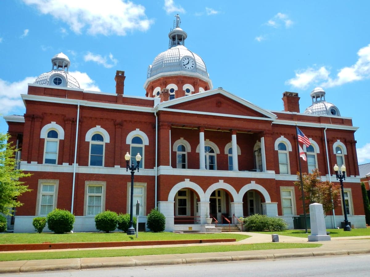
Photo: Wikipedia
Strategic Assessment of Chambers County
Workable tactical position. Some exposure to population density or targets, but generally defensible in a crisis.
What does the Strategic Assessment tell us?
Our Strategic Assessment grades tactical survivability of an area. Major population centers, military targets, fallout zones, natural disasters, and border exposure all drive risk — lower exposure means a more defensible position in a crisis.
This is heavily inspired by Joel Skousen's Strategic Relocation book. Highly recommended you checkout the book ($)What does this tell us?
Our Strategic Assessment grades tactical survivability of an area. Major population centers, military targets, fallout zones, natural disasters, and border exposure all drive risk — lower exposure means a more defensible position in a crisis.
This is heavily inspired by Joel Skousen's Strategic Relocation book. Highly recommended you checkout the book ($)Strategic Pillars

Key Distances
Strategic Assessment Analysis
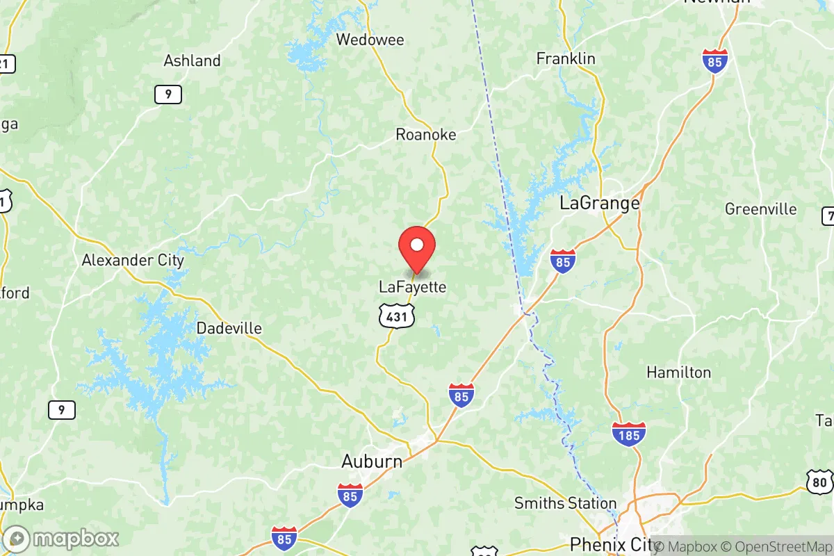
Chambers County, Alabama, offers a compelling mix of geographic isolation and strategic access for those prioritizing resilience and self-sufficiency. Located in the east-central part of the state along the Georgia border, the county sits roughly 90 miles southwest of Atlanta and 60 miles north of Columbus, Georgia, placing it far enough from major metropolitan blast zones to avoid immediate fallout risks while remaining within a day’s drive of critical supply chains. The county seat, LaFayette, and the largest city, Valley, anchor a region defined by rolling hills, the Chattahoochee River, and a sparse population density of about 60 people per square mile — a combination that makes it a viable candidate for relocation-minded individuals and families seeking a buffer from urban fragility.
Geographic position and natural advantages for long-term security
Chambers County’s location along the Chattahoochee River provides a reliable surface water source, a critical asset for any long-term resilience plan. The river forms the county’s eastern border with Georgia and feeds into the Walter F. George Lake (also known as Lake Eufaula), a 45,000-acre reservoir that offers both water security and a potential food source via fishing. The county’s terrain is predominantly Piedmont foothills — moderate elevation, clay-based soils, and mixed hardwood-pine forests — which support hunting, foraging, and small-scale agriculture. Unlike coastal or floodplain areas, Chambers County is not prone to hurricanes, storm surges, or major flooding; the Chattahoochee is dam-controlled, reducing the risk of catastrophic inundation. The climate is humid subtropical, with a growing season of roughly 220 days, allowing for year-round food production if properly managed. For a relocator assessing defensibility, the county’s network of county roads and state highways (primarily US-29 and AL-50) offers multiple egress routes without funneling through a single choke point, a distinct advantage over more grid-dependent suburban layouts.
Risk exposure: natural hazards, industrial targets, and fallout proximity
While Chambers County avoids the worst of coastal storm threats, it is not without risk. Tornadoes are a seasonal reality in east-central Alabama; the county sits within the Dixie Alley corridor, where violent EF2+ tornadoes occur with some regularity. The April 2011 super outbreak produced multiple tornado touchdowns in the region, including an EF4 that tracked through nearby Tuscaloosa County. Relocators should factor in the need for a reinforced safe room or storm shelter, particularly in mobile or manufactured homes, which make up a notable portion of the county’s housing stock. Beyond weather, the county’s proximity to industrial and military infrastructure introduces man-made risk. Roughly 50 miles southwest lies Maxwell Air Force Base in Montgomery, a potential target in a conflict scenario. To the southeast, Fort Moore (formerly Fort Benning) in Columbus, Georgia, is a major Army installation with heavy helicopter and airborne operations — a clear strategic asset in peacetime but a potential liability in a war footing. Closer to home, the Farley Nuclear Plant in nearby Houston County, Alabama, sits about 40 miles south of Chambers County. While not an immediate fallout zone, a worst-case release could affect wind-borne contamination depending on prevailing weather patterns. On balance, Chambers County’s risk profile is moderate — lower than the Atlanta or Birmingham metro areas, but higher than truly remote locations in the Mountain West or Upper Midwest.
Practical resilience for relocators: food, water, energy, and defensibility
For a family or individual serious about self-sufficiency, Chambers County offers a workable baseline. The agricultural heritage is still visible: the county has active cattle operations, poultry farms (notably around the Five Points community), and row crops like cotton and corn. Local farmers’ markets operate seasonally in Valley and LaFayette, and the presence of the Auburn University Cooperative Extension system provides access to soil testing, livestock guidance, and canning resources. Water access is the county’s strongest card — the Chattahoochee River and Lake Eufaula are perennial sources, and groundwater is generally accessible via shallow wells in the Piedmont aquifer, though yields vary by location and dry-season drawdown is a consideration. Energy resilience is more mixed. Chambers County is served by Alabama Power, a subsidiary of Southern Company, which relies on a mix of coal, natural gas, nuclear, and hydro. The grid is reasonably stable but not hardened against extended outages; relocators should plan for solar-plus-battery backup or a generator, especially given the tornado risk. Defensibility is aided by the county’s low population density and rural character — properties with good sightlines, limited road access, and wooded perimeters are available at prices well below national medians. The county’s law enforcement presence is thin: the Chambers County Sheriff’s Office and local police departments in Valley, LaFayette, and Lanett are professional but stretched thin over a large area, meaning that personal security and community mutual aid networks are essential, not optional.
The overall strategic picture for Chambers County is one of cautious viability for the resilience-minded relocator. It avoids the worst fallout exposure of major metro areas and the hurricane risks of the Gulf Coast, while offering genuine water security and a workable climate for food production. The trade-offs are real: tornado risk is non-trivial, the grid is vulnerable, and the county’s proximity to military and nuclear infrastructure introduces a low but nonzero man-made hazard. For a family willing to invest in storm hardening, off-grid energy, and community integration, Chambers County provides a defensible, affordable base of operations in the Southeastern Piedmont — not a fortress, but a solid strategic position with room to maneuver.

* Values derived from national, state, county, city and local statistics and may differ in a specific area. Last updated: 2026-10-20T14:15:37.000Z
Narrative content on this page is AI-generated and may contain mistakes. Verify any details that matter before acting on them.
ReloMaps may earn a commission from affiliate links at no extra cost to you.

