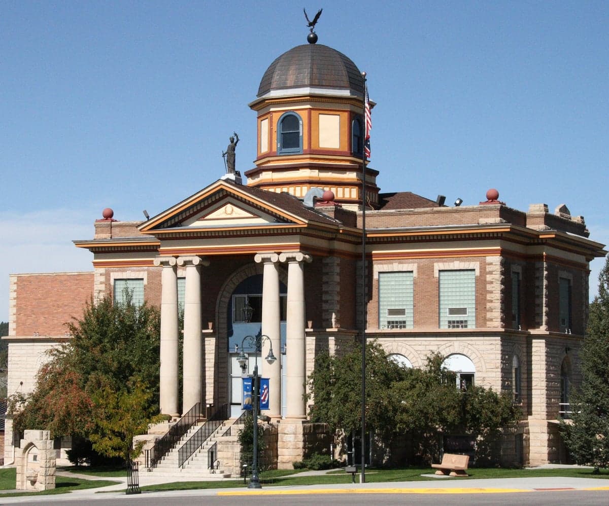
Photo: Wikipedia
Strategic Assessment of Weston County
Deep buffer from population centers and strategic targets. Low natural disaster risk and minimal exposure to border or coastal threats.
What does the Strategic Assessment tell us?
Our Strategic Assessment grades tactical survivability of an area. Major population centers, military targets, fallout zones, natural disasters, and border exposure all drive risk — lower exposure means a more defensible position in a crisis.
This is heavily inspired by Joel Skousen's Strategic Relocation book. Highly recommended you checkout the book ($)What does this tell us?
Our Strategic Assessment grades tactical survivability of an area. Major population centers, military targets, fallout zones, natural disasters, and border exposure all drive risk — lower exposure means a more defensible position in a crisis.
This is heavily inspired by Joel Skousen's Strategic Relocation book. Highly recommended you checkout the book ($)Strategic Pillars

Key Distances
Strategic Assessment Analysis
Weston County, Wyoming offers a compelling strategic profile for the relocation-minded reader prioritizing physical resilience, self-sufficiency, and distance from major population centers and high-value targets. Anchored by the small city of Newcastle, the county seat, and the town of Upton, this area sits in the northeastern corner of the state, far removed from the Interstate 25 corridor and the Front Range urban sprawl. Its location provides a unique combination of natural barriers and access to critical resources, making it a serious consideration for those assessing long-term security and preparedness in an uncertain future.
Geographic position and natural advantages for resilience
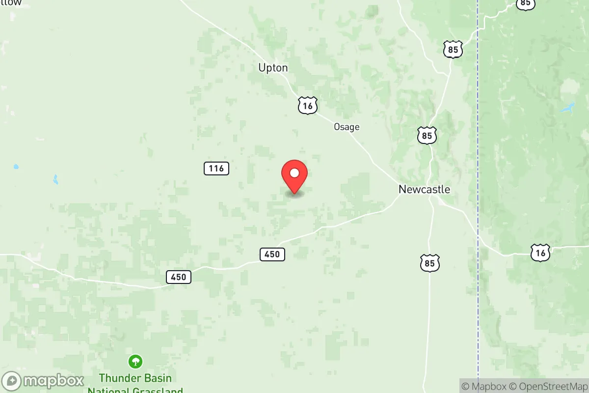
Weston County’s primary strategic asset is its relative isolation. The county is bounded by the Black Hills to the east and the Thunder Basin National Grassland to the south and west, creating a natural buffer zone that slows access from any direction. The nearest city of significant size is Rapid City, South Dakota, approximately 80 miles northeast, which is itself a modest urban center and not a prime candidate for large-scale targeting. The major metropolitan areas of Denver, Salt Lake City, and Omaha are all over 300 miles away, placing Weston County well outside the immediate fallout zones or panic radius of any plausible disaster scenario affecting those hubs. The Black Hills themselves act as a distinct geographical barrier, offering defensible terrain with multiple draws and canyons that could be used for refuge or concealment. This isn’t just remoteness for its own sake—it’s remoteness structured around natural features that impede easy transit and provide options for resource extraction and water retention.
Risks, exposures, and proximity to fallout-relevant landmarks
While Weston County is far from most high-value targets, it is not a blank slate on the vulnerability map. The most obvious concern is Ellsworth Air Force Base, home to the 28th Bomb Wing and a strategic nuclear-capable B-1B Lancer fleet, located just outside Rapid City. Ellsworth is a legitimate target in any major conflict, and its destruction could generate significant electromagnetic pulse (EMP) effects and regional fallout. Newcastle is roughly 80 miles southwest of the base—well within the moderate fallout corridor if prevailing winds blow south or southeast. That said, the prevailing winds are generally westerly, which would push contamination toward the lower-population areas of South Dakota, not directly into Weston County. The county itself harbors no major military installations, oil refineries, or nuclear power plants; the closest significant energy infrastructure is the Belle Fourche pipeline terminal in neighboring Crook County, roughly 50 miles north. The risk from natural hazards is low: tornado activity is modest compared to the Great Plains, the area is not in a major floodplain, and wildfire risk is present but manageable given low tree density. The primary man-made risk is the long-term reliability of the regional power grid, which is tied into the Rocky Mountain supply.
Practical resilience for a relocator: food, water, energy, and defensibility
For the person serious about self-sufficiency, Weston County holds up well on the practical essentials. Water is the strongest card the area plays. The county sits atop the Dakota Aquifer, a massive and relatively shallow sandstone formation that provides reliable well water across most of the land. The Belle Fourche River runs through the northern part of the county, and several small reservoirs (like the Stockade Beaver Creek system) offer surface water redundancy. Many properties already have functioning wells, and drilling a new one is typically straightforward and affordable compared to arid western counties. Energy is manageable: Wyoming is a major coal and natural gas producer, and while Weston County itself has no active mines, the Powder River Basin is less than 100 miles west, and the regional grid is stable. Heating oil and propane are common for homes, and the county receives over 200 sunny days per year, making solar a viable supplement. Food production is hampered by a short growing season (USDA Zone 4) and thin, rocky soil in some areas, but hay, small grains, and hardy vegetables can be grown with soil amendments. The Upton area, in particular, has a history of small-scale agriculture, and the local ranching culture means livestock (cattle, sheep, and poultry) are a realistic option for families with land. Hunting and fishing are excellent—muledeer, whitetail, and wild turkey are abundant, and the area is a destination for antelope in the southern grasslands. Defensibility is a mixed bag: the open landscape provides good lines of site and makes surprise approach difficult, but it also offers little cover for a single homestead. The Black Hills side offers more defensible terrain with timber and draws, while the grasslands require a more prepared perimeter. The county’s small population—just over 7,000 people across 2,400 square miles—means that social chaos following a collapse scenario would likely be localized and manageable, not a mass migration event.
Overall, Weston County presents a strong strategic case for the relocator who values distance from major targets and is willing to trade convenience for security. It is not the most productive land for intensive agriculture, and the Ellsworth Air Force Base linkage introduces a non-trivial risk that requires careful situational awareness. But for a family or individual able to establish a well-watered, defensible homestead with solar or propane backup, this corner of Wyoming offers a level of practical resilience that few places within a day’s drive of the Mountain West population centers can match. The key is to lock in a property with water rights and a plan for winter heating—if those boxes are checked, Weston County earns its place on any serious preparedness shortlist.

* Values derived from national, state, county, city and local statistics and may differ in a specific area. Last updated: 2026-06-30T00:19:01.000Z
Narrative content on this page is AI-generated and may contain mistakes. Verify any details that matter before acting on them.
ReloMaps may earn a commission from affiliate links at no extra cost to you.

