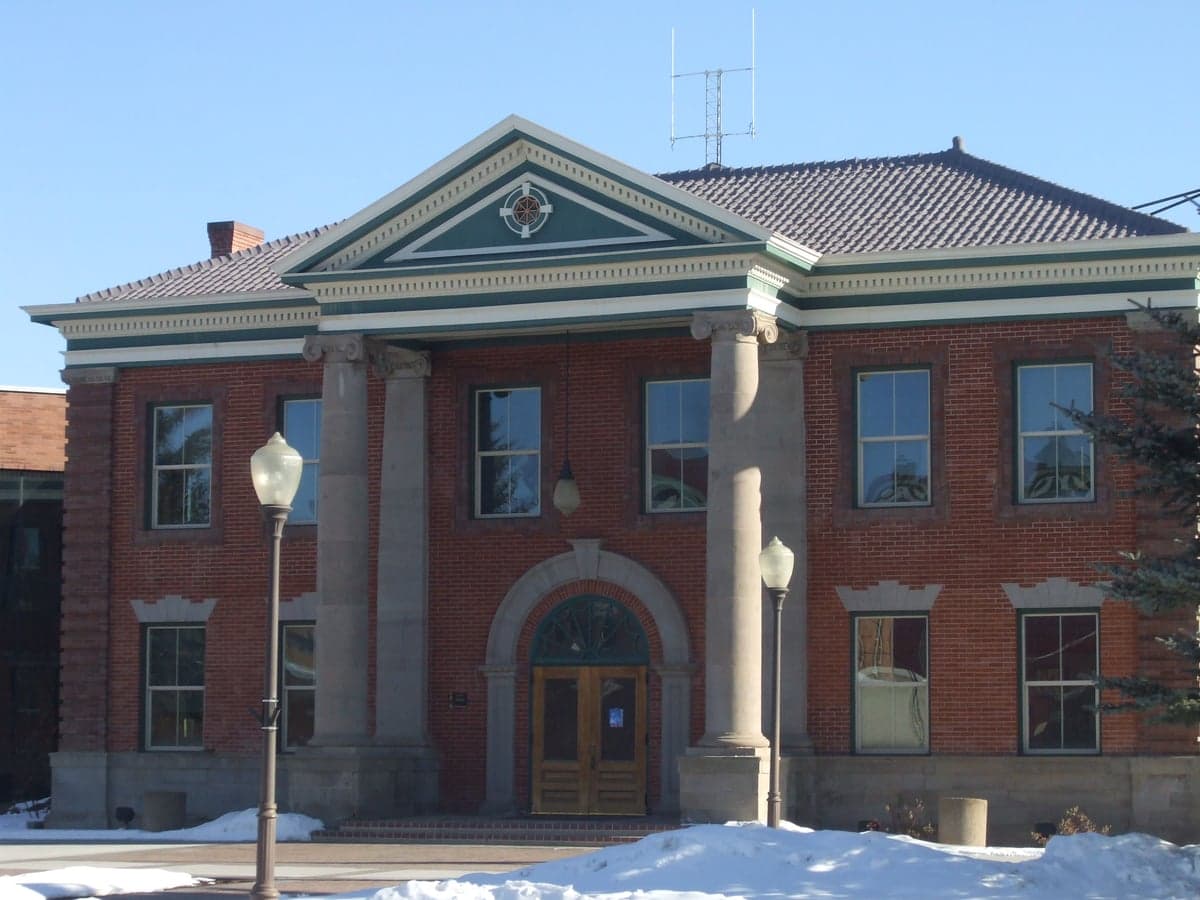
Photo: Wikipedia
Strategic Assessment of Uinta County
Deep buffer from population centers and strategic targets. Low natural disaster risk and minimal exposure to border or coastal threats.
What does the Strategic Assessment tell us?
Our Strategic Assessment grades tactical survivability of an area. Major population centers, military targets, fallout zones, natural disasters, and border exposure all drive risk — lower exposure means a more defensible position in a crisis.
This is heavily inspired by Joel Skousen's Strategic Relocation book. Highly recommended you checkout the book ($)What does this tell us?
Our Strategic Assessment grades tactical survivability of an area. Major population centers, military targets, fallout zones, natural disasters, and border exposure all drive risk — lower exposure means a more defensible position in a crisis.
This is heavily inspired by Joel Skousen's Strategic Relocation book. Highly recommended you checkout the book ($)Strategic Pillars

Key Distances
Strategic Assessment Analysis
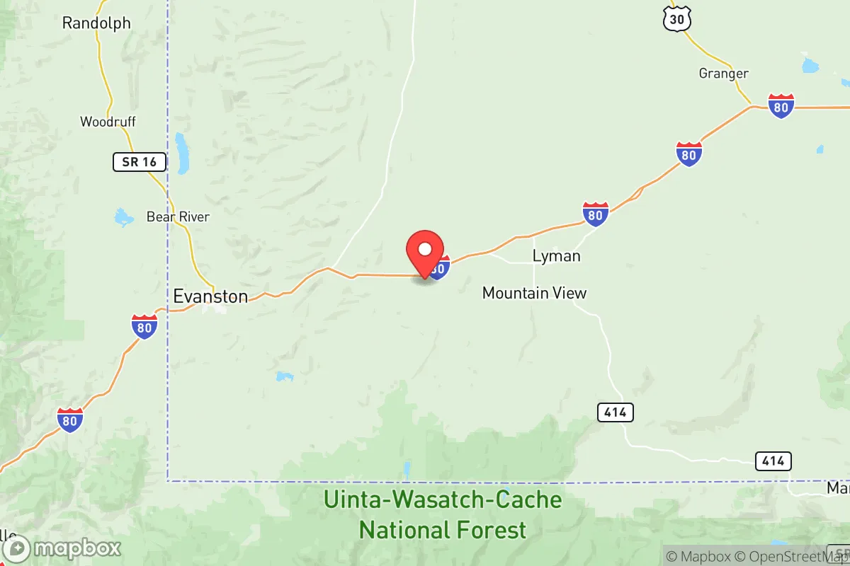
Uinta County, Wyoming, offers a compelling strategic position for relocators prioritizing resilience and self-sufficiency, blending remote high-desert geography with practical access to regional infrastructure. Its location along the Utah border, roughly 80 miles from Salt Lake City and 50 miles from Ogden, places it far enough from major metropolitan targets to reduce fallout risks while remaining within a day’s drive of essential supply chains and medical facilities. The county’s population of roughly 20,000, centered around the city of Evanston and the smaller town of Lyman, provides a low-density buffer that supports both community cohesion and personal space—key factors for those evaluating long-term preparedness.
Geographic position and natural advantages for self-sufficiency
Uinta County sits in the southwestern corner of Wyoming, straddling the Bear River and the Wasatch Range foothills, which gives it a mix of mountain watersheds and high desert plains. The Bear River, which flows through Evanston, provides a reliable surface water source—a critical asset for independent water storage and small-scale irrigation. The county’s elevation, averaging 6,800 feet, means cooler summers and significant snowfall, which can be harvested for meltwater but also demands robust heating and snow removal plans. The surrounding Uinta National Forest and Wasatch-Cache National Forest offer timber, game, and forage, though access is regulated. For a relocator, the key advantage is the county’s distance from major population centers and industrial targets: no large cities, refineries, or military bases lie within 50 miles. The nearest significant infrastructure is the Chevron refinery in North Salt Lake, about 70 miles southwest, and Hill Air Force Base near Ogden, roughly 60 miles west—both outside the immediate fallout zone for most plausible scenarios, though prevailing winds from the west could carry particulate matter in a major event.
Risks, exposures, and proximity to fallout-relevant landmarks
While Uinta County avoids the dense target sets of the Wasatch Front, it is not immune to regional risks. The county lies within the Intermountain Seismic Belt, and the Wasatch Fault—capable of a magnitude 7.0+ earthquake—runs less than 40 miles west. A major quake could disrupt road access via Interstate 80, the county’s primary east-west artery, and damage natural gas pipelines that serve local heating. Additionally, the county’s proximity to the Uinta Basin oil and gas fields (centered around Vernal, Utah, 60 miles south) means that a major industrial accident or intentional strike on those facilities could generate localized contamination. The county itself hosts the Evanston Refinery (a small crude oil refinery) and the Uinta County landfill, both of which are modest in scale but represent potential secondary hazards. For fallout-specific concerns, the nearest strategic targets include the Tooele Army Depot (chemical weapons storage, 90 miles southwest) and the Kennecott copper mine near Salt Lake City (a major industrial complex). Prevailing winds in the region are generally from the west-southwest, meaning that a release from the Wasatch Front would likely blow toward the county, though dilution over 70+ miles of open terrain significantly reduces concentration. The county’s mountainous terrain also provides natural shielding in valleys and canyons, but relocators should plan for at least two weeks of shelter-in-place supplies if a major event occurs upwind.
Practical resilience for a relocator: food, water, energy, and defensibility
Uinta County’s practical resilience is a mixed picture. Water is the county’s strongest asset: the Bear River and its tributaries, along with groundwater aquifers in the Evanston area, provide ample supply for household use and small-scale agriculture. The county’s water rights system is well-established, and rural properties often have wells or access to irrigation districts. However, the growing season is short (roughly 90 frost-free days), limiting year-round food production to cold-hardy crops like potatoes, root vegetables, and grains. Livestock grazing is common, and local ranchers supply beef and lamb, but for a relocator, establishing a reliable food supply would require greenhouse investment or strong barter relationships with neighboring producers. The county has two small grocery stores in Evanston and one in Lyman, but supply chains depend on I-80 trucking; a prolonged disruption would shift reliance to local farms and hunting (deer, elk, and upland birds are abundant). Energy is a relative strength: natural gas is widely available for heating and cooking, and the county’s wind and solar potential is moderate but usable with off-grid setups. The local electrical grid is served by Rocky Mountain Power, which draws from coal and gas plants in Utah and Wyoming; grid failure in a regional event is possible, but the county’s low population density means fewer cascading failures. Defensibility is high: the county’s open terrain and limited road access (primarily I-80 and U.S. 189) make it easy to monitor movement, and the dispersed population reduces the risk of resource conflict. The county seat, Evanston, has a small police force and a sheriff’s office, but rural areas rely heavily on neighbor networks and personal preparedness. For a relocator, the ideal setup is a property with a well, a greenhouse, and a wood or propane backup heat source, located in a valley off the main highway to maximize privacy and defensibility.
Overall, Uinta County presents a strong strategic option for the resilience-minded relocator, balancing remote safety with practical access to regional resources. Its primary vulnerabilities—seismic risk, reliance on I-80 for supply chains, and a short growing season—are manageable with planning, while its water abundance, low target density, and defensible terrain are genuine advantages. For families or individuals willing to invest in off-grid infrastructure and build local connections, the county offers a stable, low-risk base that avoids the worst-case scenarios of coastal or urban living. The key trade-off is isolation: those who value proximity to cultural amenities or specialized medical care will find the 80-mile drive to Salt Lake City a limitation, but for the reader prioritizing self-sufficiency and strategic depth, Uinta County is a solid bet.

* Values derived from national, state, county, city and local statistics and may differ in a specific area. Last updated: 2026-06-17T09:45:45.000Z
Narrative content on this page is AI-generated and may contain mistakes. Verify any details that matter before acting on them.
ReloMaps may earn a commission from affiliate links at no extra cost to you.

