Photo: Wikipedia
Strategic Assessment of Sublette County
Deep buffer from population centers and strategic targets. Low natural disaster risk and minimal exposure to border or coastal threats.
What does the Strategic Assessment tell us?
Our Strategic Assessment grades tactical survivability of an area. Major population centers, military targets, fallout zones, natural disasters, and border exposure all drive risk — lower exposure means a more defensible position in a crisis.
This is heavily inspired by Joel Skousen's Strategic Relocation book. Highly recommended you checkout the book ($)What does this tell us?
Our Strategic Assessment grades tactical survivability of an area. Major population centers, military targets, fallout zones, natural disasters, and border exposure all drive risk — lower exposure means a more defensible position in a crisis.
This is heavily inspired by Joel Skousen's Strategic Relocation book. Highly recommended you checkout the book ($)Strategic Pillars

Key Distances
Strategic Assessment Analysis
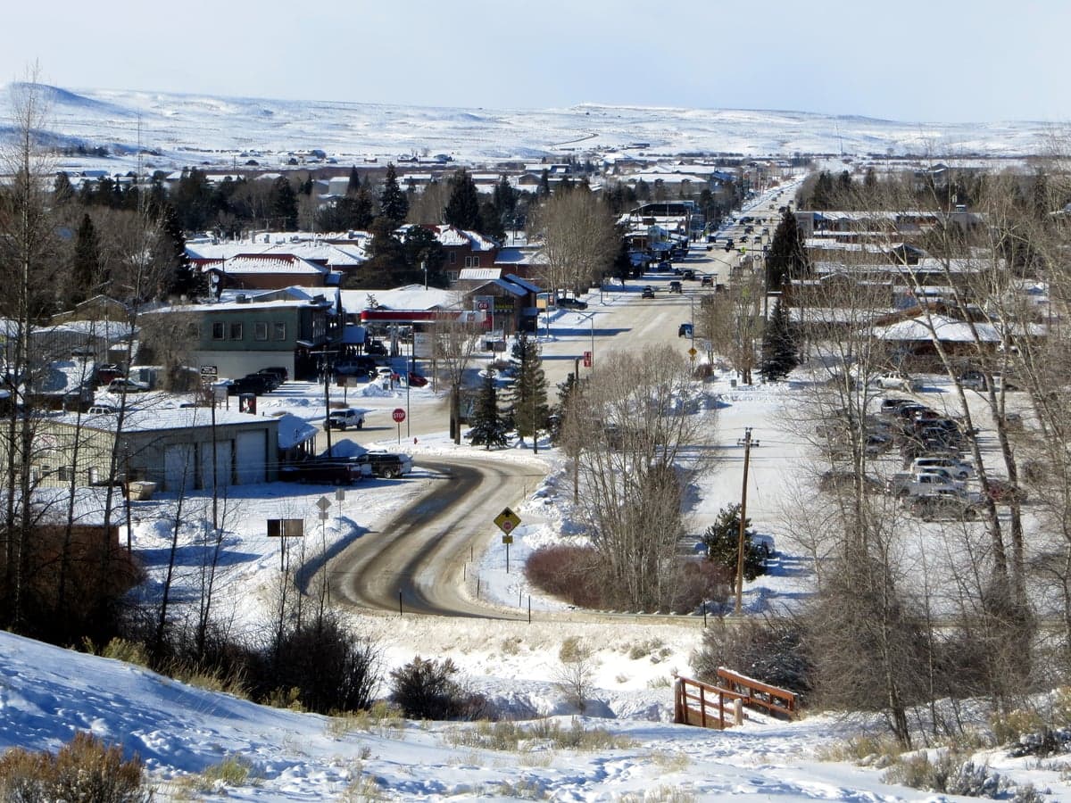
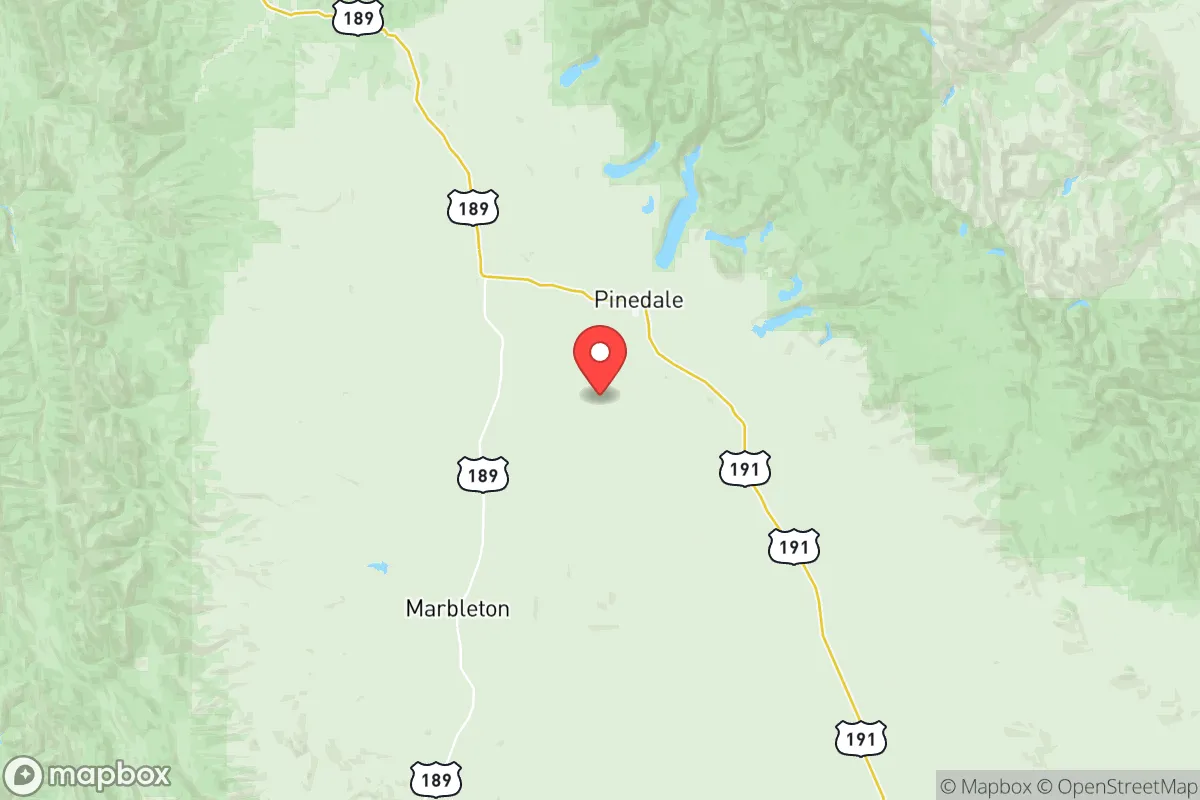
Sublette County, Wyoming, offers a compelling strategic profile for those prioritizing long-term resilience and self-sufficiency, anchored by its extreme low population density and distance from major metropolitan targets. With roughly 10,000 residents spread across 4,900 square miles, the county provides a buffer of space that is increasingly rare in the Lower 48. Its location in the remote western reaches of Wyoming, abutting the Wind River Range and the Wyoming Range, places it far from the Intermountain West's primary population corridors, while still offering access to regional hubs like Jackson (about 75 miles north) and Rock Springs (about 80 miles south) for resupply and medical care.
Geographic position and natural advantages for long-term security
Sublette County sits in a high desert basin at roughly 7,000 feet elevation, ringed by mountain ranges that create a natural defensive perimeter. The Wind River Range to the east and the Wyoming Range to the west form formidable barriers that limit easy access, while the Green River flows through the county's heart, providing a reliable surface water source. The county's position in the Upper Green River Valley means it is upstream of any industrial or agricultural contamination that might affect downstream communities. Pinedale, the county seat, serves as the primary population center and commercial hub, with Big Piney and Marbleton forming a secondary cluster about 15 miles south. The area's distance from major interstate highways—I-80 runs about 80 miles south—means through traffic is minimal, reducing the risk of evacuation-related congestion or opportunistic migration during a crisis. The county's agricultural character, dominated by cattle ranching and hay production, means that a significant portion of the landscape remains undeveloped and capable of supporting basic food production without industrial inputs.
Risk exposure, fallout proximity, and man-made threat assessment
Sublette County's primary strategic weakness is its proximity to energy infrastructure that could become a secondary target or source of contamination. The county sits atop the Pinedale Anticline and the Jonah Field, two of the largest natural gas reserves in the Rocky Mountain region, with thousands of active wells scattered across the western half of the county. While these are extraction sites rather than refineries, a coordinated attack on energy infrastructure could create localized hazards. More significantly, the county lies roughly 150 miles from the Idaho National Laboratory near Idaho Falls, a major nuclear research facility that could be a primary target in a conflict scenario. The prevailing westerly winds mean fallout from such a strike would likely be carried eastward, away from Sublette County, but the proximity remains a concern. The county's elevation and aridity also create wildfire risk, particularly in late summer and early fall, though the sparse tree cover in the basin reduces the catastrophic fire potential seen in forested mountain communities. Seismic risk is negligible, and the region's distance from coastlines eliminates hurricane and tsunami threats entirely.
Practical resilience for relocators: food, water, energy, and defensibility
Water availability is Sublette County's strongest practical advantage. The Green River and its tributaries, including the New Fork River and Pine Creek, provide abundant surface water, and the county's groundwater aquifers are generally productive and uncontaminated. Most rural properties rely on private wells, and the water table is shallow enough in the valley bottoms that hand pumps or solar-powered pumps remain viable options. Food production is feasible but requires adaptation to the short growing season—roughly 90 frost-free days—and the alkaline soil. Hay and alfalfa are the dominant crops, but cold-hardy vegetables, root crops, and grains can be cultivated with season extension techniques. The county's ranching heritage means that grass-fed beef and lamb are locally available, and game populations including mule deer, elk, and pronghorn are robust enough to supplement protein supplies. Energy resilience is mixed: the county is served by Rocky Mountain Power, and grid reliability is generally good in Pinedale but degrades rapidly in outlying areas. Winter storms can cause multi-day outages, making solar with battery storage or a backup generator a practical necessity. Natural gas from the local fields is available in Pinedale and Big Piney, but rural properties typically rely on propane. Defensibility is excellent due to the county's geography: the mountain passes can be monitored with minimal personnel, and the open terrain provides long sightlines. The county's small population and strong community ties mean that mutual aid networks are practical to establish, though newcomers should expect to invest time in building relationships before those networks become reliable.
The overall strategic picture for Sublette County is one of high natural resilience offset by moderate infrastructure and supply chain vulnerabilities. The county offers some of the best water security and defensible terrain in the continental United States, combined with extreme remoteness from likely primary targets. The trade-offs are real: the short growing season limits year-round food production, the energy infrastructure in the western part of the county introduces a localized risk, and the distance from major medical centers means that serious emergencies require air evacuation or a multi-hour drive to Rock Springs or Jackson. For a relocator who is serious about self-sufficiency and willing to invest in cold-weather infrastructure, seed stock adapted to high-altitude growing conditions, and community integration, Sublette County represents one of the stronger options in the Rocky Mountain region. The key is to arrive prepared—with skills, supplies, and a realistic understanding of what the environment demands—rather than expecting the landscape to provide everything without effort.

* Values derived from national, state, county, city and local statistics and may differ in a specific area. Last updated: 2026-07-08T13:23:01.000Z
Narrative content on this page is AI-generated and may contain mistakes. Verify any details that matter before acting on them.
ReloMaps may earn a commission from affiliate links at no extra cost to you.

