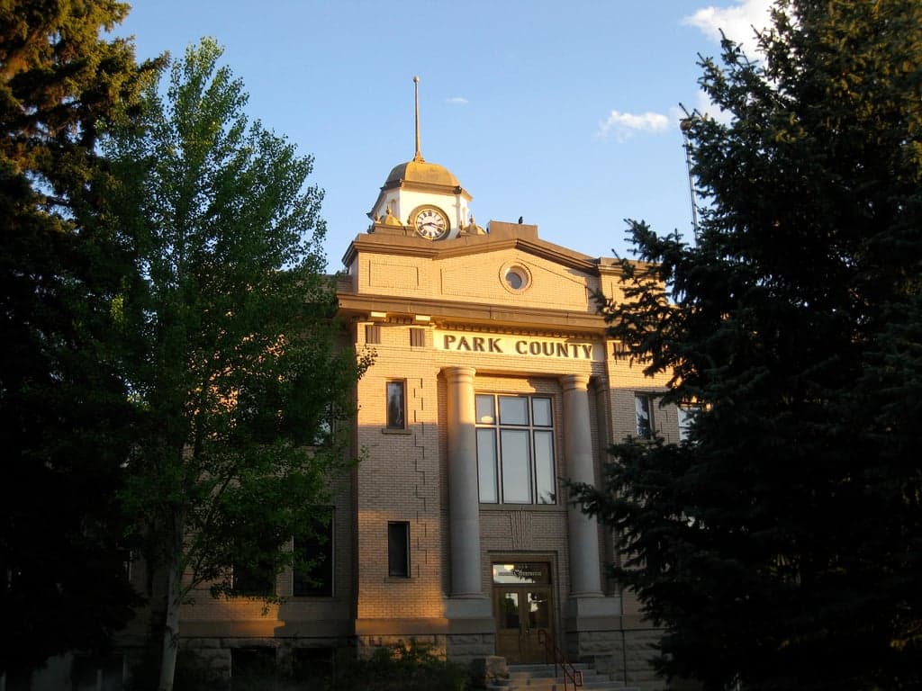
Photo: Wikipedia
Strategic Assessment of Park County
Strong survivability profile. Good buffer from population centers, with manageable environmental and tactical risks.
What does the Strategic Assessment tell us?
Our Strategic Assessment grades tactical survivability of an area. Major population centers, military targets, fallout zones, natural disasters, and border exposure all drive risk — lower exposure means a more defensible position in a crisis.
This is heavily inspired by Joel Skousen's Strategic Relocation book. Highly recommended you checkout the book ($)What does this tell us?
Our Strategic Assessment grades tactical survivability of an area. Major population centers, military targets, fallout zones, natural disasters, and border exposure all drive risk — lower exposure means a more defensible position in a crisis.
This is heavily inspired by Joel Skousen's Strategic Relocation book. Highly recommended you checkout the book ($)Strategic Pillars

Key Distances
Strategic Assessment Analysis
Park County, Wyoming, offers a strategic relocation option for those prioritizing resilience and self-sufficiency, anchored by its remote location in the northwest corner of the state and its position as a gateway to Yellowstone National Park. The county’s low population density—roughly 30,000 residents spread across 6,969 square miles—combined with its distance from major metropolitan targets, provides a significant buffer against many of the cascading risks that concern disaster-preparedness-minded individuals. The county seat, Cody, and the smaller town of Powell serve as practical hubs, while the Absaroka and Beartooth mountain ranges form a natural defensive perimeter that complicates access for any potential threat.
Geographic position and natural advantages for long-term security
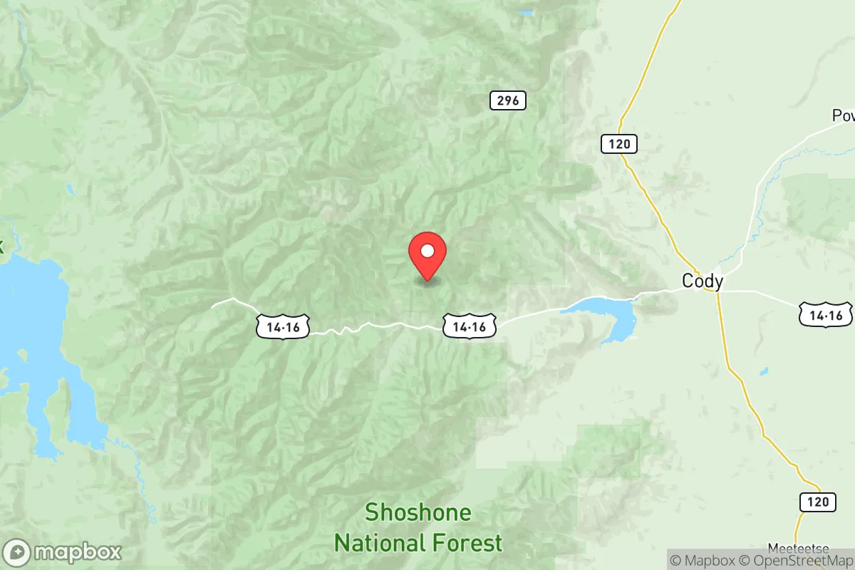
Park County’s geography is its primary strategic asset. The county sits in the Bighorn Basin, shielded by the Absaroka Range to the west and the Beartooth Mountains to the north, creating a natural fortress that limits approach routes to a handful of highways—primarily US-14, US-16, and US-20. This isolation is a double-edged sword: it reduces exposure to fallout from distant targets, but it also means that any disruption to these corridors (e.g., a landslide or bridge failure) could severely restrict movement. The Shoshone River, which flows through Cody and Powell, provides a reliable surface water source, and the region’s high desert climate—averaging 10–14 inches of precipitation annually—reduces the risk of flooding compared to wetter mountain valleys. The county’s elevation, ranging from 4,000 to over 12,000 feet, also means cooler temperatures that can mitigate heat-related infrastructure failures, though winter storms can be severe. For a relocator, the key advantage is the sheer distance from high-value targets: Park County is over 300 miles from the nearest major population center (Denver) and more than 500 miles from the Intermountain West’s critical infrastructure nodes like the Hanford Site in Washington or the oil refineries in Billings, Montana.
Risks, exposures, and proximity to fallout-relevant landmarks
While Park County is far from the most likely nuclear or industrial targets, it is not entirely insulated. The county lies within 150 miles of the Yellowstone Caldera, a supervolcano that, while not an immediate concern, is a long-term geological risk that any serious resilience planner must acknowledge. More immediately, the county’s proximity to Yellowstone National Park—a major tourist destination—means that a collapse of the tourism economy (due to a pandemic, economic crisis, or natural disaster) would hit Cody and Powell hard, as tourism is the primary economic driver. The county is also within 200 miles of the Malmstrom Air Force Base in Montana, a Minuteman III missile field, and the oil and gas infrastructure around the Powder River Basin. While these are not direct fallout risks, a major conflict involving strategic assets could create secondary effects like refugee flows or supply chain disruptions. The county’s own infrastructure is vulnerable: the single rail line (the BNSF’s Cody Branch) and the limited highway network mean that a single point of failure—like a bridge collapse on US-14 near the Shoshone Canyon—could isolate the county for days. Wildfire risk is moderate but growing, with the 2022 Elk Fire burning over 12,000 acres in the nearby Bighorn National Forest, and the county’s reliance on overhead power lines makes it susceptible to outages during high winds or heavy snow.
Practical resilience for a relocator: food, water, energy, and defensibility
For a relocator focused on self-sufficiency, Park County offers a mixed but workable picture. Water is the strongest asset: the Shoshone River and its tributaries provide year-round flow, and groundwater is accessible via wells in the Bighorn Basin, though drilling depths can exceed 300 feet in some areas. The county’s agricultural sector—centered on Powell’s irrigated sugar beet and alfalfa farms—means that local food production is viable, though the growing season is short (90–120 days) and limited to cold-hardy crops. Energy is a vulnerability: the county relies on the regional grid fed by coal and natural gas plants in the Powder River Basin, and while there is some hydroelectric generation from the Buffalo Bill Dam, it is not enough to sustain the county in a grid-down scenario. Solar potential is good (over 300 sunny days per year), but winter snow cover and short daylight hours limit output. Defensibility is high: the mountain passes and limited road access make the county naturally defensible, but the open terrain of the Bighorn Basin means that a determined group could approach from the east or south. The county’s population is spread out, with Cody (pop. ~10,000) and Powell (pop. ~6,000) as the only real population centers, which reduces the risk of civil unrest but also means that mutual aid is limited. The county has a strong hunting culture, with high rates of firearm ownership and a local sheriff’s office that is generally supportive of Second Amendment rights—a practical consideration for those prioritizing personal security.
Overall, Park County presents a strong strategic option for a relocator who values isolation, natural resources, and a low-risk profile, but it is not a bug-out location for the unprepared. The county’s resilience is built on its remoteness and its agricultural base, but its dependence on a single road network and a fragile power grid means that a relocator must invest in off-grid energy (solar with battery backup, or a small wind turbine), a reliable water well, and a stockpile of supplies for winter months when travel becomes difficult. The county’s conservative political culture and low crime rates (Cody’s violent crime rate is roughly half the national average) align well with the values of the target audience, but the high cost of land (averaging $3,000–$5,000 per acre for irrigated farmland) and the harsh winters (average January low of 10°F) are real barriers. For a family or individual willing to make that investment, Park County offers a defensible, resource-rich base that is far enough from the chaos of the Front Range and the Intermountain West to provide genuine strategic depth.

* Values derived from national, state, county, city and local statistics and may differ in a specific area. Last updated: 2026-07-24T05:59:17.000Z
Narrative content on this page is AI-generated and may contain mistakes. Verify any details that matter before acting on them.
ReloMaps may earn a commission from affiliate links at no extra cost to you.

