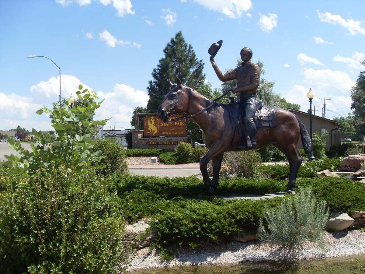
Photo: Wikipedia
Strategic Assessment of Converse County
Deep buffer from population centers and strategic targets. Low natural disaster risk and minimal exposure to border or coastal threats.
What does the Strategic Assessment tell us?
Our Strategic Assessment grades tactical survivability of an area. Major population centers, military targets, fallout zones, natural disasters, and border exposure all drive risk — lower exposure means a more defensible position in a crisis.
This is heavily inspired by Joel Skousen's Strategic Relocation book. Highly recommended you checkout the book ($)What does this tell us?
Our Strategic Assessment grades tactical survivability of an area. Major population centers, military targets, fallout zones, natural disasters, and border exposure all drive risk — lower exposure means a more defensible position in a crisis.
This is heavily inspired by Joel Skousen's Strategic Relocation book. Highly recommended you checkout the book ($)Strategic Pillars

Key Distances
Strategic Assessment Analysis
Converse County, Wyoming, offers a compelling strategic profile for relocators prioritizing resilience and self-sufficiency, anchored by its position in the high plains east of the Laramie Range. The county’s sparse population—roughly 13,000 residents spread across 4,255 square miles—and distance from major metropolitan targets make it a low-priority zone for most large-scale disruption scenarios. Its economic backbone, built on energy extraction (coal, uranium, and natural gas) and agriculture, provides a practical foundation for long-term stability, though the area’s isolation demands careful planning for supply chains and community connectivity.
Geographic position and natural advantages for long-term stability
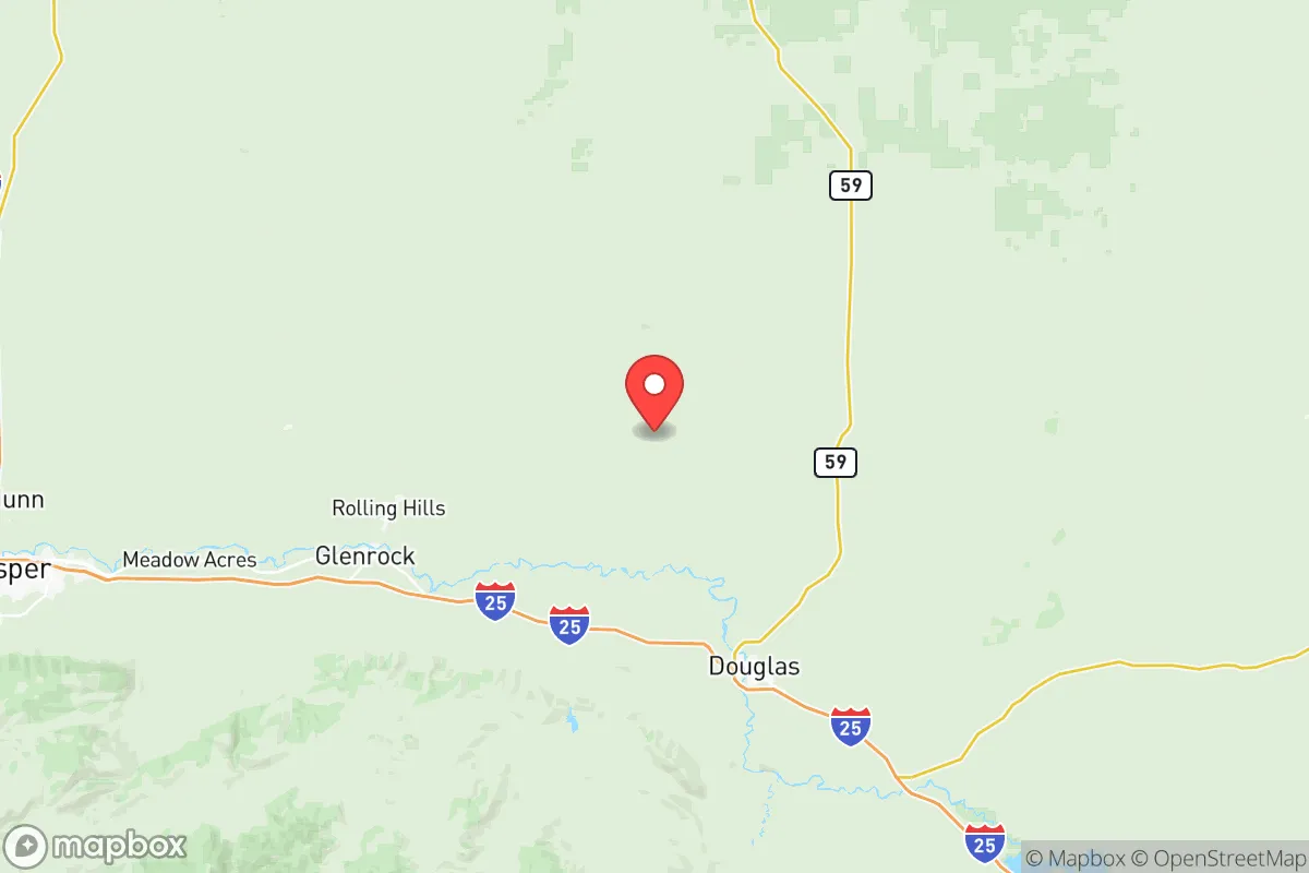
Converse County sits in a strategic sweet spot: far enough from the Front Range urban corridor (Denver is about 180 miles south) and Wyoming’s own population centers (Casper is 50 miles west) to avoid the immediate fallout of a major event, yet close enough to access regional resources. The county’s terrain is a mix of rolling plains, buttes, and the North Platte River valley, which provides a reliable water source and fertile bottomlands for small-scale agriculture. The area’s elevation—around 5,000 feet—means a dry climate with low humidity, reducing risks of mold, pests, and many waterborne diseases. Winters are harsh but predictable, with heavy snow that can isolate rural roads for days, so a relocator must plan for self-sufficient heating and food storage. The county’s low population density also means less competition for resources in a crisis, though it also means fewer immediate neighbors for mutual aid.
Risks, exposures, and proximity to fallout-relevant landmarks
Converse County’s primary risk profile is shaped by its energy infrastructure and transportation corridors. The county hosts the Dave Johnston Power Plant (a coal-fired facility near Glenrock) and the Belle Ayr and Eagle Butte coal mines south of Wright, which are potential targets for sabotage or collateral damage in a conflict scenario. The North Platte River runs through the county, and while it’s not a major industrial waterway, its bridges and rail crossings—particularly near Douglas—could be chokepoints in a disruption. The county is also bisected by Interstate 25 and the BNSF Railway mainline, both of which carry hazardous materials (including crude oil from the Bakken fields) through the region. A derailment or spill near Douglas or Glenrock could contaminate local water supplies or block evacuation routes. On the natural disaster front, the area faces occasional severe thunderstorms, hail, and tornadoes, but these are less frequent and intense than in the Great Plains. Wildfire risk is moderate, especially in the ponderosa pine forests of the Laramie Range foothills west of Douglas. The county’s distance from major military installations (F.E. Warren Air Force Base in Cheyenne is 100 miles south, and the Wyoming National Guard’s Camp Guernsey is 40 miles east) means it’s not a primary target, but it’s close enough to experience secondary effects from a strike on those facilities.
Practical resilience for a relocator: food, water, energy, and defensibility
For a relocator serious about self-sufficiency, Converse County offers strong fundamentals but requires upfront investment. Water access is the county’s biggest asset: the North Platte River and its tributaries (including La Prele Creek and Deer Creek) provide surface water for irrigation and livestock, while groundwater is generally accessible via wells at depths of 100-300 feet. However, water rights are complex and fully appropriated in many areas, so a relocator must verify legal access before purchasing land. Food production is viable but limited by the short growing season (90-110 frost-free days) and alkaline soils. Hay, alfalfa, and small grains are the main crops, but a determined gardener can grow cold-hardy vegetables like potatoes, carrots, and kale with season extension techniques. The county’s ranching culture means local beef and lamb are available, and hunting (deer, antelope, and elk) is a reliable protein source for those with licenses. Energy independence is achievable: the area’s abundant wind and solar resources (over 300 sunny days per year) make off-grid power systems practical, though battery storage is essential for winter months. Natural gas is available in some rural areas, and propane delivery is common. Defensibility is a mixed picture: the open terrain offers long sightlines but limited natural cover, so a homestead on a hilltop with a clear view of approach routes is ideal. The county’s low crime rate (violent crime is about half the national average) means most residents don’t prioritize security, but a relocator should consider perimeter fencing, a well-stocked armory, and a network of trusted neighbors. The nearest hospitals are in Douglas (Converse County Memorial Hospital) and Casper (Wyoming Medical Center), both about an hour’s drive from the county’s far reaches, so medical self-sufficiency is critical.
The overall strategic picture for Converse County is one of moderate-to-high resilience for a relocator willing to embrace its isolation and invest in infrastructure. The county’s energy resources, water availability, and low population density are genuine advantages, but they come with trade-offs: harsh winters, limited medical access, and exposure to transportation corridor risks. For a single individual or family with a conservative, self-reliant mindset, the area offers a realistic path to long-term stability—provided they arrive with a clear plan for water rights, energy backup, and community integration. The key is to treat Converse County not as a bug-out location but as a permanent home base, where daily life requires the same skills that would serve you in a crisis: resourcefulness, patience, and a willingness to work with the land rather than against it.

* Values derived from national, state, county, city and local statistics and may differ in a specific area. Last updated: 2026-07-13T18:43:46.000Z
Narrative content on this page is AI-generated and may contain mistakes. Verify any details that matter before acting on them.
ReloMaps may earn a commission from affiliate links at no extra cost to you.

