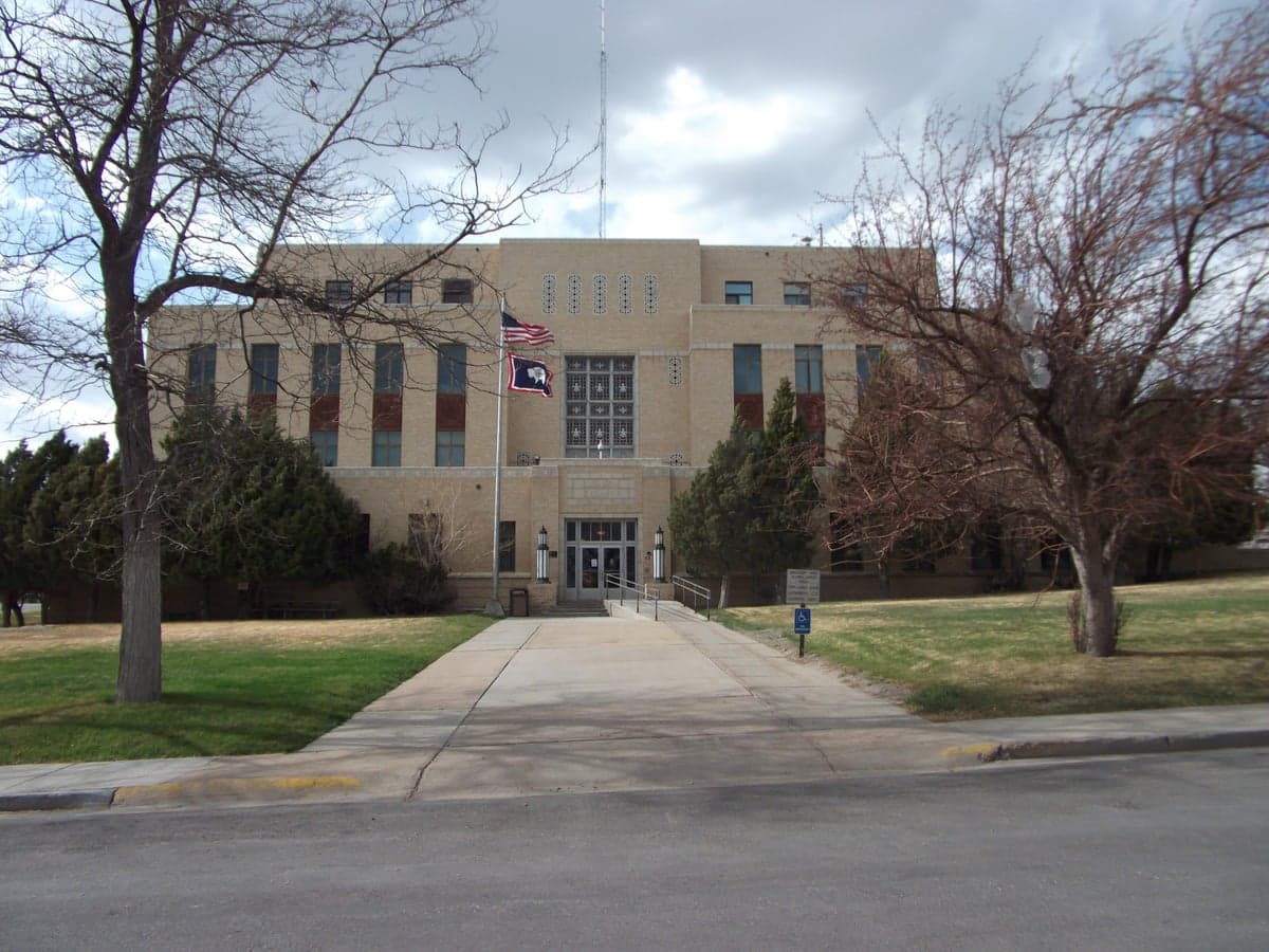
Photo: Wikipedia
Strategic Assessment of Carbon County
Deep buffer from population centers and strategic targets. Low natural disaster risk and minimal exposure to border or coastal threats.
What does the Strategic Assessment tell us?
Our Strategic Assessment grades tactical survivability of an area. Major population centers, military targets, fallout zones, natural disasters, and border exposure all drive risk — lower exposure means a more defensible position in a crisis.
This is heavily inspired by Joel Skousen's Strategic Relocation book. Highly recommended you checkout the book ($)What does this tell us?
Our Strategic Assessment grades tactical survivability of an area. Major population centers, military targets, fallout zones, natural disasters, and border exposure all drive risk — lower exposure means a more defensible position in a crisis.
This is heavily inspired by Joel Skousen's Strategic Relocation book. Highly recommended you checkout the book ($)Strategic Pillars

Key Distances
Strategic Assessment Analysis
Carbon County, Wyoming offers a compelling strategic position for those prioritizing resilience and self-sufficiency, anchored by its remote location in the high desert of south-central Wyoming. The county’s sparse population—roughly 15,000 residents spread across 7,900 square miles—and its distance from major metropolitan targets like Denver (about 150 miles south) and Salt Lake City (about 200 miles west) provide a natural buffer against both cascading infrastructure failures and targeted disruptions. Its position along the I-80 corridor, while providing essential access for supply chains, does not negate the fundamental advantage of being situated in one of the least densely populated regions in the continental United States.
Geographic position and natural advantages for long-term security
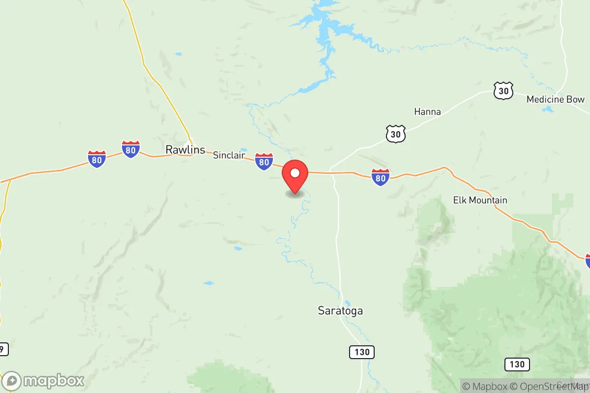
Carbon County’s geography is defined by the high plains and the eastern edge of the Rocky Mountains, with the Sierra Madre and Medicine Bow ranges providing both water catchment and defensible terrain. The county seat, Rawlins, sits at roughly 6,800 feet elevation, offering a cool, arid climate that reduces the risk of many vector-borne diseases and limits agricultural pests. The North Platte River and its tributaries, including the Encampment River, provide reliable surface water sources, while the vast underground aquifers of the region offer a backup for well-dependent properties. The area’s low humidity and frequent winds also reduce the persistence of airborne contaminants, a factor that matters for those considering fallout or industrial accident scenarios. The nearby Seminoe and Pathfinder Reservoirs, both within or bordering the county, represent significant water storage that supports both irrigation and emergency supply. For a relocator, the combination of high elevation, low population density, and multiple water sources creates a baseline of natural resilience that is difficult to replicate in more developed parts of the West.
Risks, exposures, and proximity to fallout-relevant landmarks
While Carbon County is remote, it is not immune to risks tied to regional infrastructure and industrial activity. The I-80 and I-25 corridors, which intersect near Rawlins, are major transportation arteries for hazardous materials, including crude oil, natural gas liquids, and industrial chemicals moving between the Rocky Mountain and Midwest regions. A derailment or truck accident involving these materials could affect local water or air quality, particularly in the narrow valleys near the rail lines. The county also sits within the broader energy landscape of Wyoming, with the Sinclair Refinery in nearby Sinclair (just east of Rawlins) being a notable fixed industrial target. Though small by national standards, this refinery processes roughly 85,000 barrels per day and represents a potential point of failure for local fuel supplies and a possible source of localized contamination. Further east, the F.E. Warren Air Force Base near Cheyenne (about 120 miles east) is a missile wing base, which places Carbon County within the broader strategic target zone of the Intermountain West, though the county itself is not a primary target. Natural risks include severe winter storms, which can isolate communities for days, and the potential for drought, which periodically stresses water supplies for agriculture. Wildfire risk is moderate, concentrated in the forested mountain areas, but the surrounding sagebrush steppe limits large-scale fire spread compared to denser forests elsewhere in the Rockies.
Practical resilience for a relocator: food, water, energy, and defensibility
For someone serious about self-sufficiency, Carbon County offers a mixed but workable environment. Water is the strongest asset: the North Platte River basin provides year-round flow, and groundwater is accessible via wells in most areas outside the highest peaks. The county’s agricultural heritage, centered on hay, cattle, and some small-scale grain production, means that local food networks exist, though they are not diverse. The growing season is short (roughly 90-110 frost-free days), limiting vegetable production to cold-hardy crops, but greenhouse or high-tunnel techniques can extend it significantly. Energy resilience is high: the county is within the Rocky Mountain Power grid, but the prevalence of wind and solar resources, combined with the availability of propane and firewood from the national forests, allows for off-grid or hybrid setups. The county’s low population density and vast public lands (including the Medicine Bow-Routt National Forest and the Bureau of Land Management holdings) provide significant space for those seeking a buffer from neighbors. Defensibility is aided by the terrain: the mountain valleys offer natural chokepoints, and the open plains provide long sightlines. However, the same remoteness that aids security also means that emergency services are thin—Rawlins has a small hospital, but trauma care requires a medevac to Cheyenne or Denver. For a relocator, the practical calculus is that Carbon County rewards preparation and self-reliance but punishes those who arrive without a plan for winter heating, water storage, and food production.
The overall strategic picture for Carbon County is one of high potential paired with real constraints. It is not a place for those seeking easy access to urban amenities or a mild climate, but for a relocator who values distance from major targets, abundant water, and the ability to control their own energy and food systems, it ranks among the more viable options in the continental U.S. The key trade-offs are the harsh winter climate, the limited local medical infrastructure, and the need to build or retrofit housing for energy efficiency and off-grid capability. For a family or individual willing to invest in those areas, Carbon County provides a defensible, resource-rich base that is unlikely to be affected by the cascading failures that would impact denser regions. The county’s position along the I-80 corridor is a double-edged sword—it offers supply access but also introduces transportation-related risks—but on balance, the remoteness and natural advantages outweigh the exposure. For the strategic-minded relocator, Carbon County deserves serious consideration as a long-term resilience hub in the Intermountain West.

* Values derived from national, state, county, city and local statistics and may differ in a specific area. Last updated: 2026-06-17T18:34:06.000Z
Narrative content on this page is AI-generated and may contain mistakes. Verify any details that matter before acting on them.
ReloMaps may earn a commission from affiliate links at no extra cost to you.

