
Photo: Wikipedia
Strategic Assessment of Sheboygan County
Meaningful friction. Expect exposure to either population pressure, blast zones, or natural disaster risk. Consider buying a retreat property.
What does the Strategic Assessment tell us?
Our Strategic Assessment grades tactical survivability of an area. Major population centers, military targets, fallout zones, natural disasters, and border exposure all drive risk — lower exposure means a more defensible position in a crisis.
This is heavily inspired by Joel Skousen's Strategic Relocation book. Highly recommended you checkout the book ($)What does this tell us?
Our Strategic Assessment grades tactical survivability of an area. Major population centers, military targets, fallout zones, natural disasters, and border exposure all drive risk — lower exposure means a more defensible position in a crisis.
This is heavily inspired by Joel Skousen's Strategic Relocation book. Highly recommended you checkout the book ($)Strategic Pillars

Key Distances
Strategic Assessment Analysis
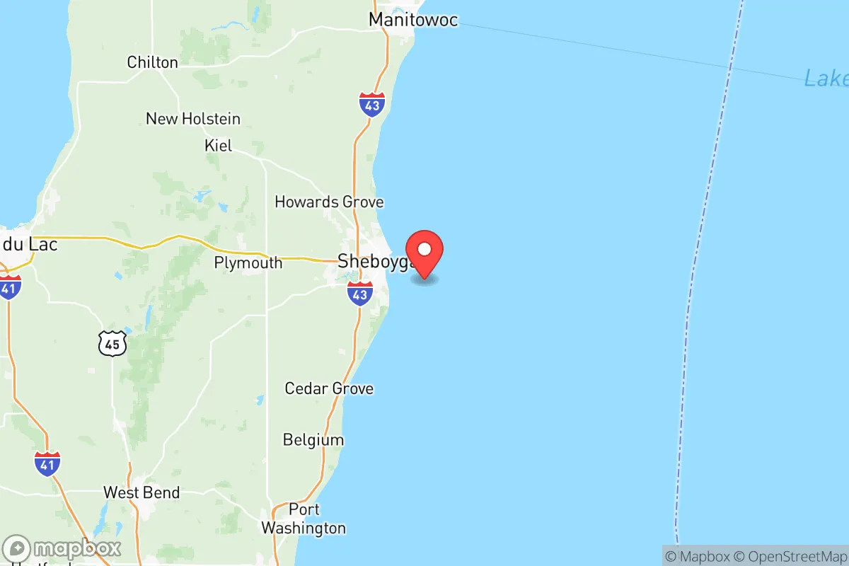
Sheboygan County, Wisconsin, offers a strategic balance of industrial utility and rural buffer that makes it a serious contender for relocation in an uncertain future. Sitting on the Lake Michigan shoreline about 50 miles north of Milwaukee and 60 miles south of Green Bay, the county avoids the direct blast radius of major metropolitan targets while still providing access to critical Great Lakes shipping and regional supply chains. The county seat, Sheboygan, anchors a population of roughly 115,000 spread across small cities like Plymouth, Kohler, and Elkhart Lake, meaning you get functional infrastructure without the density that turns a city into a humanitarian crisis zone during a breakdown.
Geographic position and natural advantages for long-term stability
Sheboygan County’s location is its strongest card. Lake Michigan provides an essentially unlimited freshwater source—something that becomes priceless when municipal systems fail or become contaminated. The county sits atop the Niagara Escarpment, giving it decent elevation and well-drained soils that support agriculture. The Sheboygan River and its tributaries cut through the county, offering multiple water access points and natural travel corridors. The terrain is gently rolling, not mountainous, which means you can farm, build, and move equipment without the isolation of deep woods but with enough cover to avoid being a wide-open target. The county’s position on the lake also moderates temperatures slightly, extending growing seasons compared to inland Wisconsin counties. For a relocator thinking in decades, not months, this is land that can sustain a household indefinitely with proper setup.
Risks, exposures, and proximity to fallout-relevant landmarks
No location is a fortress, and Sheboygan County has real vulnerabilities. The most obvious is the Point Beach Nuclear Plant, located about 10 miles north of Two Rivers on the lakeshore, just inside Manitowoc County but within 20 miles of Sheboygan County’s northern border. A catastrophic failure or targeted strike at Point Beach would put the northern half of the county in a dangerous fallout plume depending on wind direction. Additionally, the county’s industrial base—Sheboygan is home to large manufacturing plants for companies like Kohler Co., Rockline Industries, and Bemis Manufacturing—means the area has its own industrial hazards, including chemical storage and heavy machinery that could become secondary disaster sites during a grid-down event. The county is also within 100 miles of Milwaukee’s port and industrial corridor, which is a high-value target for both conventional and asymmetric attacks. Interstate 43 runs through the county, providing a direct evacuation route but also a funnel for refugees fleeing Milwaukee or Green Bay in a crisis. That highway becomes a liability if mass displacement occurs—you’ll want to be well off that corridor, preferably in the rural townships west of Plymouth or near Elkhart Lake.
Practical resilience for a relocator: food, water, energy, and defensibility
For a serious prepper or survival-minded family, Sheboygan County checks most of the practical boxes. Water is abundant—Lake Michigan is the obvious source, but the county also has high groundwater tables and numerous inland lakes like Elkhart Lake and Crystal Lake. A well with a hand pump or a solar-powered pump gives you independent water security. Food production is viable: the county has rich agricultural soil, and there are active farming communities in the towns of Herman, Holland, and Lima. You can buy small acreage with good dirt for under $10,000 per acre in many rural areas, and the growing season runs roughly April through October. Local farmers’ markets and CSAs are common now, but in a collapse scenario, those networks become survival lifelines. Energy independence is achievable—the county gets decent sun for solar (about 4.5 peak sun hours per day) and has enough wind exposure near the lake to make small wind turbines worthwhile. Wood heating is practical given the mixed hardwood forests in the western part of the county. Defensibility is moderate: the terrain is open enough that you can see threats coming from a distance, but the lack of natural chokepoints means you can’t easily bottle up access. The best strategy is to buy property with a long driveway, a creek or river on one side, and good sightlines—properties near the Kettle Moraine State Forest’s northern unit offer this kind of layout. The county’s population density is low enough (about 150 people per square mile countywide, but under 50 in rural townships) that you won’t be fighting neighbors for resources, but high enough that you’re not completely isolated if you need to trade or get medical help.
The overall strategic picture for Sheboygan County is cautiously positive for a relocator with a conservative, self-reliant mindset. It avoids the worst of the urban collapse zones while keeping you close enough to Great Lakes shipping and regional manufacturing to rebuild trade after a reset. The nuclear plant risk is real but manageable if you choose property south of Plymouth or west of the Sheboygan River—that puts prevailing winds at your back and gives you time to evacuate or shelter. The county’s conservative lean (Sheboygan County voted +15 R in the 2024 presidential election) means local governance is likely to resist federal overreach and maintain Second Amendment protections, which matters when you’re stockpiling and training. The biggest downside is the cold—winters are harsh, with lake-effect snow dumping 40-60 inches annually, and that’s a real survival challenge if heating fuel becomes scarce. But for someone willing to put in the work—dig a well, plant a garden, stack firewood, and keep a low profile—Sheboygan County offers a solid foundation for weathering whatever comes next.
* Values derived from national, state, county, city and local statistics and may differ in a specific area. Last updated: 2026-06-02T15:50:01.000Z
Narrative content on this page is AI-generated and may contain mistakes. Verify any details that matter before acting on them.
ReloMaps may earn a commission from affiliate links at no extra cost to you.