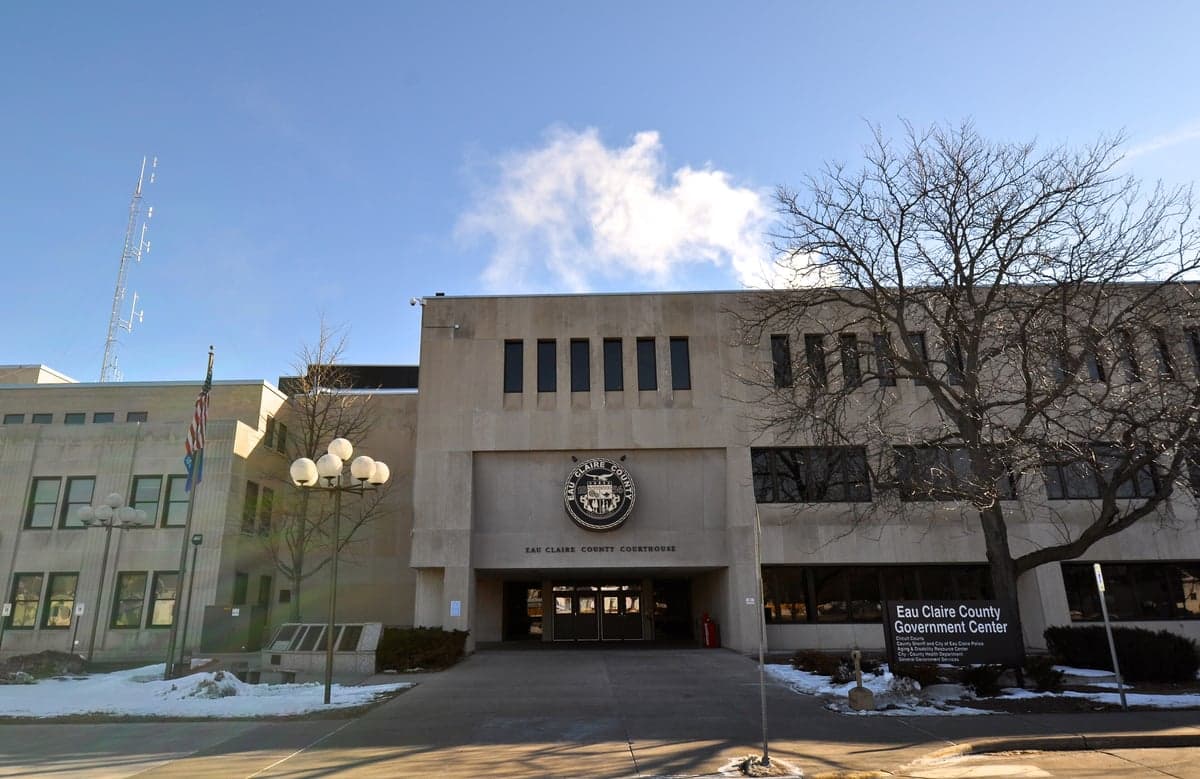
Photo: Wikipedia
Strategic Assessment of Eau Claire County
Workable tactical position. Some exposure to population density or targets, but generally defensible in a crisis.
What does the Strategic Assessment tell us?
Our Strategic Assessment grades tactical survivability of an area. Major population centers, military targets, fallout zones, natural disasters, and border exposure all drive risk — lower exposure means a more defensible position in a crisis.
This is heavily inspired by Joel Skousen's Strategic Relocation book. Highly recommended you checkout the book ($)What does this tell us?
Our Strategic Assessment grades tactical survivability of an area. Major population centers, military targets, fallout zones, natural disasters, and border exposure all drive risk — lower exposure means a more defensible position in a crisis.
This is heavily inspired by Joel Skousen's Strategic Relocation book. Highly recommended you checkout the book ($)Strategic Pillars

Key Distances
Strategic Assessment Analysis
Eau Claire County offers a compelling mix of Midwestern stability and strategic depth for those prioritizing disaster readiness and long-term self-sufficiency. Located in west-central Wisconsin, the county sits far from major coastal threats, nuclear power plants, and the densest population corridors of the Upper Midwest, providing a natural buffer against both fallout and cascading infrastructure failures. While not immune to risks, the area’s combination of agricultural capacity, freshwater access, and distance from high-value targets makes it a serious contender for relocation-minded individuals and families who want a balance of rural resilience and functional community infrastructure.
Geographic position and natural advantages for long-term security
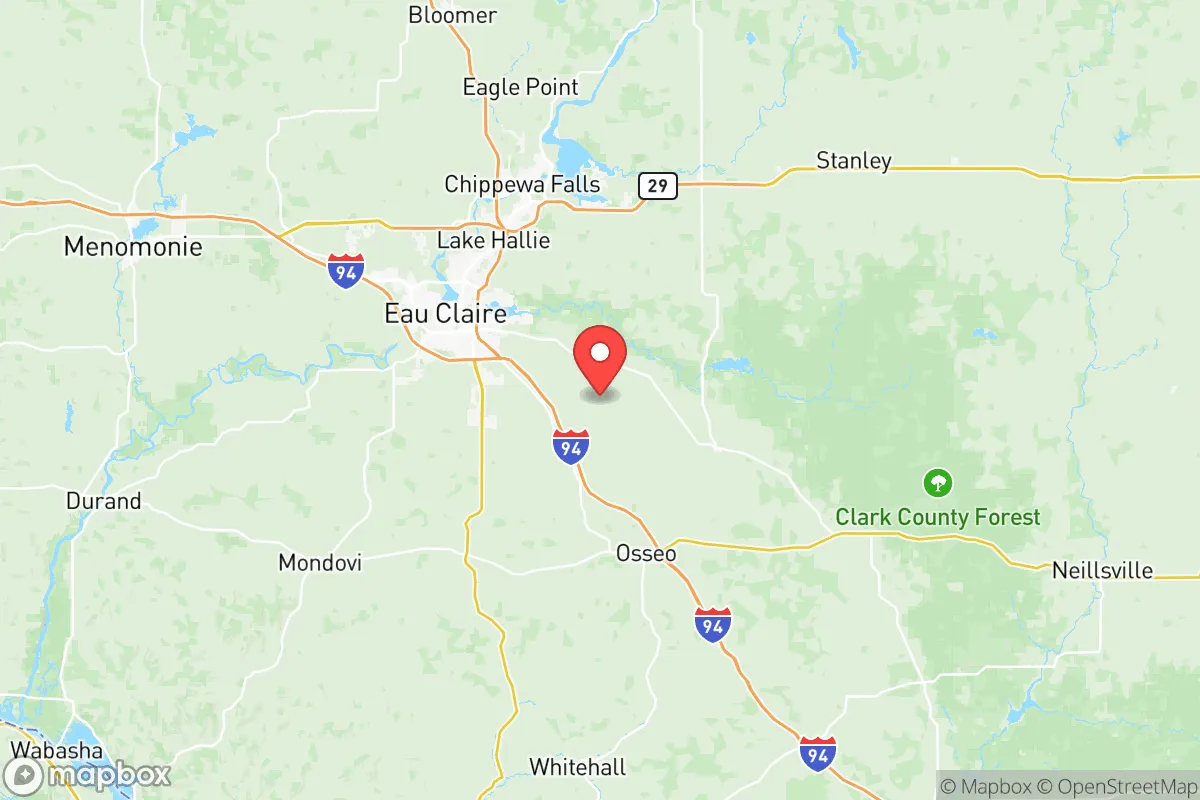
Eau Claire County’s location is its strongest asset for resilience. The county is roughly 90 miles east of Minneapolis–Saint Paul, placing it outside the immediate blast and fallout zones of a major metropolitan area while still offering access to regional medical and supply networks. The city of Eau Claire itself sits at the confluence of the Chippewa and Eau Claire Rivers, providing abundant freshwater resources that are less contested than in arid western states. The surrounding landscape is a mix of rolling hills, hardwood forests, and agricultural land, which supports both hunting and small-scale farming. The county’s position in the Driftless Area—a region that escaped the last glacial period’s flattening—means more varied topography, offering natural defensibility and better groundwater recharge than the flatter, tile-drained farmland to the south. For a relocator, this means viable off-grid water sources, cover for movement, and a climate that supports four-season food production with proper planning.
Risks, exposures, and proximity to fallout-relevant landmarks
No location is without vulnerabilities, and Eau Claire County has several that a serious assessor must weigh. The most significant risk is the county’s proximity to the Twin Cities metropolitan area, home to roughly 3.7 million people and critical infrastructure including the Pine Bend Refinery in Rosemount, MN—one of the largest oil refineries in the Midwest—and the Monticello Nuclear Generating Plant about 80 miles northwest of Eau Claire. In a major conflict or EMP scenario, these are high-value targets that could produce fallout plumes or cascading economic collapse. The county also lies within 150 miles of the Dairyland Power Cooperative’s Genoa Nuclear Plant and the Prairie Island Nuclear Plant near Red Wing, MN, both of which are within plausible fallout drift distance depending on wind patterns. Additionally, the county’s own infrastructure—including the Eau Claire Municipal Airport and major rail lines running through the city—could become chokepoints or secondary targets. Natural risks are lower but not absent: the area experiences occasional tornadoes, severe winter storms, and flooding along the Chippewa River, particularly in low-lying parts of the city of Eau Claire and the village of Fall Creek. For a relocator, the key takeaway is that while Eau Claire County avoids the worst of coastal and urban risks, it is not a fallout-free zone; pre-positioning supplies and having a plan for wind-borne contamination is prudent.
Practical resilience for a relocator: food, water, energy, and defensibility
For someone serious about self-sufficiency, Eau Claire County delivers on the fundamentals. Water is abundant: the county sits atop a productive sandstone aquifer, and private wells are common in rural areas, with typical depths of 100–300 feet yielding reliable, potable water. The Chippewa River system provides a surface water backup, though treatment would be necessary. Food production capacity is strong: the county has over 1,200 farms, with a mix of dairy, beef, row crops (corn, soybeans, hay), and an expanding network of small-scale vegetable and fruit operations. The growing season runs roughly from mid-May to late September, and the Driftless Area’s microclimates allow for diversified production. Farmers’ markets in Eau Claire, Altoona, and the village of Lake Hallie provide immediate access to local food networks, and the county’s agricultural extension office offers resources for new growers. Energy resilience is moderate: the grid is served by Xcel Energy and several rural electric cooperatives, but winter storms have caused multi-day outages in recent years. Solar potential is adequate but not exceptional—about 4.5 peak sun hours per day—and wood heating is viable given the county’s 40% forest cover. Defensibility is mixed: the city of Eau Claire itself is a population center of roughly 70,000, which could become a liability in a breakdown scenario. However, the surrounding townships—such as Washington Township and Brunswick Township—offer lower-density, road-constrained terrain with natural chokepoints from river crossings and ridge lines. The county’s strong hunting culture means a high baseline of firearm familiarity, and the presence of the Wisconsin National Guard’s 2nd Battalion, 128th Infantry in Eau Claire provides a local military presence that could aid in organized response. For a relocator, the practical recommendation is to target a rural property outside the city limits, ideally with a well, woodlot, and southern exposure for solar, while building relationships with local farmers and the county’s robust network of conservation-minded landowners.
Overall, Eau Claire County presents a solid strategic option for the disaster-conscious relocator who wants a genuine self-sufficiency base without complete isolation. Its freshwater abundance, agricultural capacity, and distance from primary targets outweigh the moderate risks from nearby nuclear plants and metropolitan proximity. The county’s culture of practical self-reliance—rooted in its farming and outdoor recreation heritage—aligns well with a preparedness mindset, and the presence of functional local government and medical infrastructure (including Marshfield Medical Center-Eau Claire) provides a safety net that truly remote areas lack. For families and individuals who can accept the cold winters and the need for proactive planning around fallout risks, Eau Claire County offers one of the better resilience-to-cost ratios in the Upper Midwest. The key is to choose a location carefully—away from floodplains and major transport corridors—and to invest in community ties before a crisis hits. This is not a bug-out location for the lone prepper, but a viable long-term home for those building a resilient life in a region that still rewards hard work and neighborly cooperation.

* Values derived from national, state, county, city and local statistics and may differ in a specific area. Last updated: 2026-06-30T19:56:03.000Z
Narrative content on this page is AI-generated and may contain mistakes. Verify any details that matter before acting on them.
ReloMaps may earn a commission from affiliate links at no extra cost to you.

