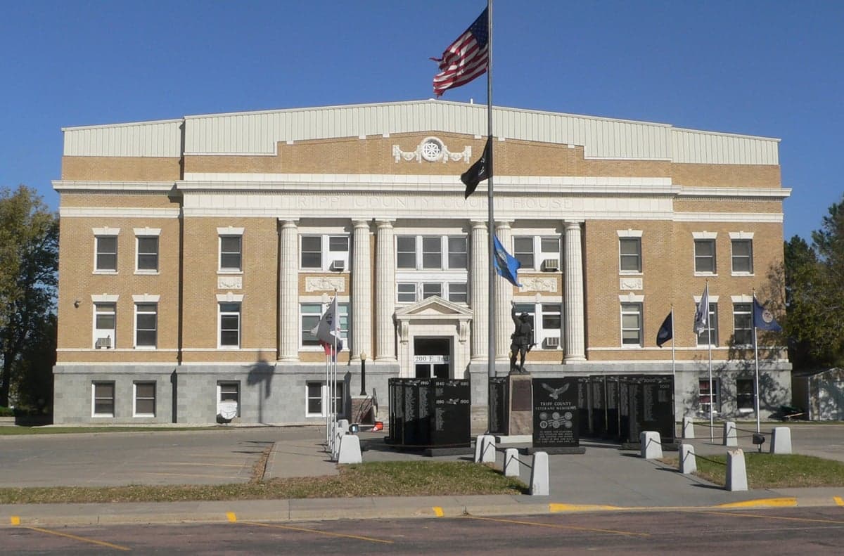
Photo: Wikipedia
Strategic Assessment of Winner, SD
Strong survivability profile. Good buffer from population centers, with manageable environmental and tactical risks.
What does the Strategic Assessment tell us?
Our Strategic Assessment grades tactical survivability of an area. Major population centers, military targets, fallout zones, natural disasters, and border exposure all drive risk — lower exposure means a more defensible position in a crisis.
This is heavily inspired by Joel Skousen's Strategic Relocation book. Highly recommended you checkout the book ($)What does this tell us?
Our Strategic Assessment grades tactical survivability of an area. Major population centers, military targets, fallout zones, natural disasters, and border exposure all drive risk — lower exposure means a more defensible position in a crisis.
This is heavily inspired by Joel Skousen's Strategic Relocation book. Highly recommended you checkout the book ($)Strategic Pillars

Key Distances
Regional Safe Places
Below is our recommended "safe zones" in South Dakota and the surrounding area based on our strategic heuristics. For most people, it's unrealistic to live in a “safe zone” full-time due to work, family or other personal reasons. They tend to be more rural. However, many of these areas are perfect for second homes and retreat properties that double as a vacation home or even a short-term rental.


Important Note: For informational purposes only. This does not mean nothing bad ever happens in the green zones. Please use common sense. This is based on public data and modeled with AI. We tried to take a conservative approach but mistakes happen. We update this regularly as new information becomes available.
Solar Generator Recommendations
Backup power matters more here than in safer locations. We've picked three solar generators across budgets and capacity tiers — start with the budget unit if you only need a few essentials, or step up if you want to run a fridge and HVAC for days at a time.

Jackery Portable Power Station Explorer 300
Budget OptionPower on the Go: Weighing only 11 lbs, it's convenient to set up and store with book-sized foldable solar panels

BLUETTI Portable Power Station AC180
Designed for both indoor and outdoor scenarios, AC180 is highly capable as it has a robost capacity and continuous output power.

EF ECOFLOW DELTA Pro Ultra Power Station
Upgraded PickEcoFlow DELTA Pro Ultra is a whole-home energy system designed to grow with your family. Integrated with the Smart Home Panel 2, it scales to meet your evolving energy needs — keeping your home powered, intelligent, and secure through every stage of life.
We earn a commission, at no additional cost to you.
Strategic Assessment Analysis
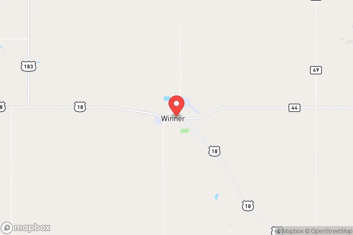
Winner, South Dakota, sits as a quiet outlier in the Great Plains—a town of roughly 2,800 people that offers a rare combination of geographic isolation, agricultural self-sufficiency, and low strategic vulnerability. For a relocator operating from a prepper or survivalist mindset, Winner checks several critical boxes: it is far from any major population center, sits outside the blast and fallout zones of known strategic targets, and is embedded in a region where food, water, and energy are locally produced rather than imported. The town’s name is coincidental but fitting—it occupies a position that, in a national crisis, would likely remain functional while coastal and urban areas degrade.
Geographic position and natural advantages for long-term survival
Winner is located in Tripp County, in south-central South Dakota, roughly 60 miles from the Nebraska border and 120 miles from the nearest city of any size—Rapid City (population 77,000) to the west and Sioux Falls (population 200,000) to the east. That distance is the first and most important advantage: Winner is outside the 50-mile radius of any city that would be a primary or secondary nuclear target, including Ellsworth Air Force Base near Rapid City, which is a known ICBM and bomber installation. The prevailing westerly winds across the Plains mean that fallout from a strike on Ellsworth would drift east-northeast, away from Winner. The town sits on the edge of the Nebraska Sandhills and the Missouri Plateau, terrain that is rolling grassland rather than flat prairie—offering some natural defilade and cover for dispersed operations. The area’s low population density (about 3 people per square mile in Tripp County) means that a relocator can acquire acreage without drawing attention, and the local culture of rural self-reliance means that neighbors are unlikely to interfere with someone who keeps to themselves. Water is the region’s hidden asset: Winner sits atop the Ogallala Aquifer, one of the largest freshwater aquifers in the world, and the Missouri River is 40 miles east, providing a secondary water source that is not dependent on municipal infrastructure.
Risks, exposures, and proximity to fallout-relevant landmarks
No location is risk-free, and Winner has specific vulnerabilities that a strategic relocator must account for. The most immediate concern is Ellsworth Air Force Base, 120 miles to the west-northwest, which houses B-1B Lancer bombers and is a primary target in any peer-level conflict. A ground burst at Ellsworth would produce fallout that, under normal wind patterns, would travel east-northeast—meaning Winner would be on the southern fringe of the plume, not in the hot zone. However, a shift in wind direction could change that calculus. The Minuteman III missile fields of western South Dakota and North Dakota are also within 200 miles, and while Winner is not in the immediate blast zone of any silo, a coordinated strike on the missile fields could produce multiple ground bursts whose fallout patterns overlap. The town itself has no strategic value—no military base, no major transportation hub, no industrial complex—which is precisely what makes it survivable. The nearest rail line is a minor branch, and Interstate 90 runs 50 miles north, meaning Winner is not on any logical route of mass evacuation or military movement. The biggest man-made risk is the Fort Randall Dam on the Missouri River, 40 miles east, which if targeted could cause downstream flooding, but Winner sits on higher ground and would not be affected. The town’s isolation also means that emergency services are limited: the local hospital is a critical access facility with 25 beds, and law enforcement is a county sheriff’s office with a handful of deputies. In a widespread crisis, outside help will not arrive quickly—if at all.
Practical resilience for a relocator: food, water, energy, and defensibility
Winner’s practical resilience is where it truly stands out for a prepper-minded relocator. Tripp County is one of the most productive agricultural counties in South Dakota, with corn, soybeans, wheat, and sunflowers grown across hundreds of thousands of acres. Livestock operations—cattle and hogs—are common, meaning that food production is local and decentralized. A relocator with a few acres can grow a substantial portion of their own food, and the growing season (roughly 140 frost-free days) is long enough for most staple crops. Water is accessible via shallow wells tapping the Ogallala, and the area’s average annual rainfall of 20 inches is sufficient for dryland farming without irrigation. Energy is a mixed picture: the local grid is served by rural electric cooperatives, which are more resilient than urban grids but still vulnerable to EMP or long-term disruption. Solar potential is excellent—Winner averages 210 sunny days per year, and a modest off-grid solar array with battery storage can power a household year-round. Wind is also a viable option, though the area’s average wind speed of 12 mph means turbines are practical only for those with acreage and zoning flexibility. Heating fuel is a concern: natural gas is available in town, but rural properties rely on propane or heating oil, which require supply chains that could fail. Wood is available from shelterbelts and the nearby Missouri River breaks, but the region is not heavily forested, so a relocator should plan for a combination of solar thermal, passive solar design, and backup propane. Defensibility is good but not fortress-grade: the terrain is open, which means any approach is visible for miles, but it also means that a determined group could approach from any direction. The best strategy is low visibility—a well-maintained but unremarkable property that does not advertise its capabilities. The local population is overwhelmingly conservative, gun-friendly, and suspicious of outsiders, which cuts both ways: it means a relocator who fits in will be left alone, but one who stands out will be noticed. The county has no zoning restrictions to speak of, so building a root cellar, installing a rainwater catchment system, or constructing a secure outbuilding requires no permits or approvals.
The overall strategic picture for Winner is one of quiet viability. It is not a prepper fantasyland—there is no mountain redoubt, no militia compound, no survivalist community. What it offers is something more practical: a place where a single individual or family can live a normal, low-profile life while being positioned to weather a crisis that collapses the systems of coastal cities. The town’s isolation is its shield, its agricultural base is its pantry, and its aquifer is its well. The risks—Ellsworth, the missile fields, the lack of emergency services—are real but manageable for someone who plans ahead. For a relocator who wants to be out of the blast radius, out of the fallout plume, and out of the chaos that will follow a national emergency, Winner is a strong candidate. It will not be the first place people think of, and that is precisely the point.
* Values derived from national, state, county, city and local statistics and may differ in a specific area. Last updated: 2026-04-29T23:23:00.000Z
Narrative content on this page is AI-generated and may contain mistakes. Verify any details that matter before acting on them.
ReloMaps may earn a commission from affiliate links at no extra cost to you.