 Popular
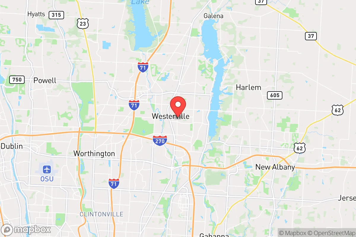
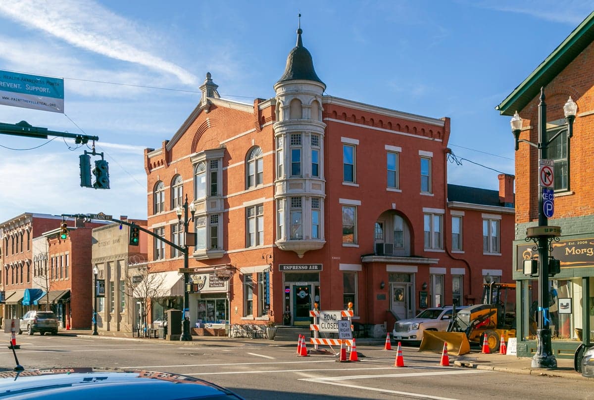
Photo: Wikipedia
Strategic Assessment of Westerville, OH
Multiple tactical vulnerabilities. Population density, target proximity, or disaster risk are likely compounding. A retreat property and exit planning is required.
What does the Strategic Assessment tell us?
Our Strategic Assessment grades tactical survivability of an area. Major population centers, military targets, fallout zones, natural disasters, and border exposure all drive risk — lower exposure means a more defensible position in a crisis.
This is heavily inspired by Joel Skousen's Strategic Relocation book. Highly recommended you checkout the book ($)What does this tell us?
Our Strategic Assessment grades tactical survivability of an area. Major population centers, military targets, fallout zones, natural disasters, and border exposure all drive risk — lower exposure means a more defensible position in a crisis.
This is heavily inspired by Joel Skousen's Strategic Relocation book. Highly recommended you checkout the book ($)Strategic Pillars

Key Distances
Regional Safe Places
Below is our recommended "safe zones" in Ohio and the surrounding area based on our strategic heuristics. For most people, it's unrealistic to live in a “safe zone” full-time due to work, family or other personal reasons. They tend to be more rural. However, many of these areas are perfect for second homes and retreat properties that double as a vacation home or even a short-term rental.

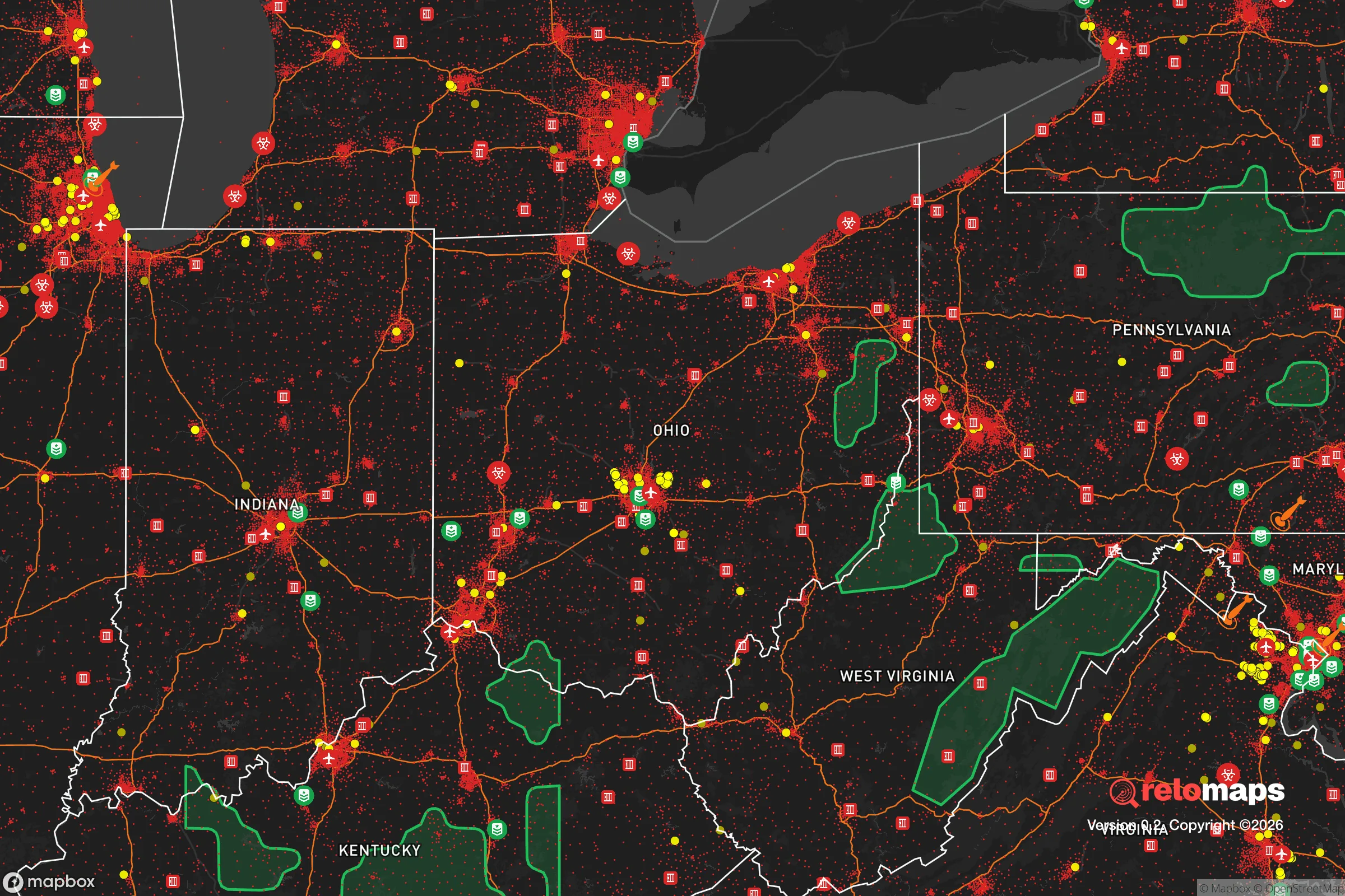
Important Note: For informational purposes only. This does not mean nothing bad ever happens in the green zones. Please use common sense. This is based on public data and modeled with AI. We tried to take a conservative approach but mistakes happen. We update this regularly as new information becomes available.
Solar Generator Recommendations
Backup power matters more here than in safer locations. We've picked three solar generators across budgets and capacity tiers — start with the budget unit if you only need a few essentials, or step up if you want to run a fridge and HVAC for days at a time.

Jackery Portable Power Station Explorer 300
Budget OptionPower on the Go: Weighing only 11 lbs, it's convenient to set up and store with book-sized foldable solar panels

BLUETTI Portable Power Station AC180
Designed for both indoor and outdoor scenarios, AC180 is highly capable as it has a robost capacity and continuous output power.

EF ECOFLOW DELTA Pro Ultra Power Station
Upgraded PickEcoFlow DELTA Pro Ultra is a whole-home energy system designed to grow with your family. Integrated with the Smart Home Panel 2, it scales to meet your evolving energy needs — keeping your home powered, intelligent, and secure through every stage of life.
We earn a commission, at no additional cost to you.
Strategic Assessment Analysis
Westerville, Ohio, sits in a precarious but potentially advantageous position for those prioritizing resilience and strategic relocation. While its proximity to Columbus—roughly 15 miles northeast—offers economic benefits, that same closeness introduces significant vulnerabilities in a crisis scenario. For a conservative-leaning individual or family focused on self-reliance and preparedness, Westerville presents a mixed bag: solid community infrastructure and a relatively stable local economy, but also exposure to the risks inherent in being a suburban satellite of a major metropolitan area. The key is understanding that this is not a remote redoubt, but a potential staging ground or temporary haven that requires a clear-eyed assessment of its strengths and weaknesses in the face of civic unrest, supply chain disruptions, or larger-scale disasters.
Geographic Position and Natural Advantages for a Prepared Household
Westerville’s location within the broader Central Ohio region offers some genuine natural advantages for a prepper mindset. The area is not prone to earthquakes, hurricanes, or wildfires, which removes a whole category of catastrophic risk. The terrain is gently rolling, with decent soil quality for small-scale gardening, and the local watershed—including the nearby Hoover Reservoir and Alum Creek—provides a substantial freshwater resource that could be tapped in an extended emergency. The city’s own parks and green spaces, like the 1,200-acre Blendon Woods Metro Park, offer not just recreation but potential foraging, hunting, and water access points if the grid goes down. For a relocator, the ability to secure a property with a well and some acreage within a 10- to 15-minute drive of Westerville’s core is a realistic option, giving you a buffer from the denser suburban neighborhoods while still maintaining access to the city’s resources during stable times. The region’s four-season climate also means you’ll need to plan for winter preparedness—snow, ice, and power outages are annual realities—but that’s a manageable challenge compared to coastal storm surges or seismic events.
Risks, Exposures, and Proximity to Fallout-Relevant Landmarks
The single biggest strategic weakness of Westerville is its proximity to Columbus and the associated fallout risks. In a scenario involving civil unrest, mass casualty events, or a major terrorist attack, a city of nearly 900,000 people just down the road becomes a liability. The I-71 and I-270 corridors that connect Westerville to Columbus are predictable chokepoints that could become impassable during an evacuation or a security lockdown. Furthermore, the area is within a 50-mile radius of the Defense Supply Center Columbus (DSCC) and Rickenbacker Air National Guard Base—both potential targets in a conflict scenario. While Westerville itself has no major military or industrial targets, the blast and fallout zones from a strike on Columbus or its infrastructure could easily reach the suburb. The city’s own population of roughly 40,000 is dense enough that a sudden influx of refugees from the south would strain local resources rapidly. For a survivalist, this means your bug-out plan must account for the fact that Westerville could become a secondary crisis zone within hours of a major event in Columbus. The local police and fire departments are competent, but they are not equipped to handle a mass evacuation or a sustained security breakdown.
Practical Resilience for a Relocator: Food, Water, Energy, and Defensibility
From a practical standpoint, Westerville offers a mixed but workable foundation for a prepared household. The city’s water supply is drawn primarily from the Big Walnut Creek and Hoover Reservoir, which are surface water sources vulnerable to contamination or disruption. A relocator should plan for a minimum of two weeks of stored water per person, plus a Berkey or similar gravity filter for long-term use. The local power grid is part of the AEP Ohio system, which has a decent reliability record but is not hardened against EMP or cyberattack. Solar panels with battery backup are a wise investment here, as the region gets enough sun to make them viable year-round, especially if paired with a backup generator for winter months. Food resilience is more challenging: Westerville has a handful of local farms and farmers’ markets, but the majority of grocery supply chains are dependent on just-in-time delivery from regional distribution centers. A serious prepper should plan to establish a three- to six-month food cache, and consider joining or forming a local buying club or co-op to build community resilience. Defensibility is the weakest link. Westerville is a typical suburban grid of cul-de-sacs and arterial roads, which makes it difficult to secure a perimeter. A home on the northern or eastern edges, near the more rural townships of Genoa or Orange, offers better options for a defensible property with sightlines and limited access points. The local gun culture is present but not dominant; Ohio is a shall-issue state for concealed carry, and the local sheriff’s office is generally supportive of Second Amendment rights, which is a plus for those who prioritize personal security.
The overall strategic picture for Westerville is that of a high-potential, high-risk location. It is not a survivalist’s paradise, nor is it a trap. For a conservative-leaning individual or family who wants to maintain a professional career in the Columbus area while building a resilient home base, Westerville can work—but only with deliberate planning. The key is to treat it as a forward operating base, not a final redoubt. Establish your supplies, build your skills, and maintain a low profile. The community is stable and the schools are strong, which makes it a good place to raise kids who understand preparedness. But never forget that the interstate highway that brings you Amazon packages can also bring you chaos. If you’re looking for a place to ride out the storm, Westerville is a solid choice—as long as you’ve already dug the bunker and stocked the pantry before the first siren sounds.
* Values derived from national, state, county, city and local statistics and may differ in a specific area. Last updated: 2026-04-21T19:42:32.000Z
Narrative content on this page is AI-generated and may contain mistakes. Verify any details that matter before acting on them.
ReloMaps may earn a commission from affiliate links at no extra cost to you.