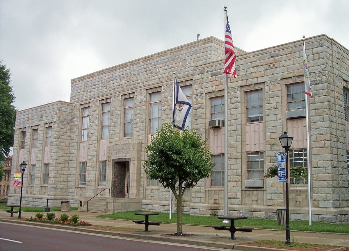
Photo: Wikipedia
Strategic Assessment of Raleigh County
Workable tactical position. Some exposure to population density or targets, but generally defensible in a crisis.
What does the Strategic Assessment tell us?
Our Strategic Assessment grades tactical survivability of an area. Major population centers, military targets, fallout zones, natural disasters, and border exposure all drive risk — lower exposure means a more defensible position in a crisis.
This is heavily inspired by Joel Skousen's Strategic Relocation book. Highly recommended you checkout the book ($)What does this tell us?
Our Strategic Assessment grades tactical survivability of an area. Major population centers, military targets, fallout zones, natural disasters, and border exposure all drive risk — lower exposure means a more defensible position in a crisis.
This is heavily inspired by Joel Skousen's Strategic Relocation book. Highly recommended you checkout the book ($)Strategic Pillars

Key Distances
Strategic Assessment Analysis
Raleigh County, West Virginia, offers a compelling strategic position for those prioritizing resilience and self-sufficiency, anchored by the small city of Beckley as its commercial and logistical hub. Its location in the Appalachian Plateau provides natural buffers from coastal storm surges and major metropolitan chaos, while still sitting within a day's drive of critical infrastructure and supply routes along Interstates 64 and 77. For a relocator weighing disaster readiness, the county presents a mixed picture: strong geographic advantages in terms of terrain and water resources, but real exposure to risks tied to nearby industrial and military landmarks that demand careful consideration.
Geographic position and natural defensive advantages in southern West Virginia
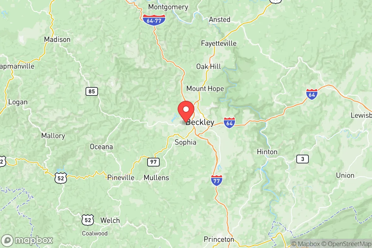
Raleigh County's terrain is its first line of defense. The rugged, forested hills of the Appalachian Plateau create natural chokepoints and limited road networks, which inherently slow large-scale movement and reduce the likelihood of being a primary target in a national emergency. The county sits roughly 2,500 feet above sea level on average, placing it above the flood-prone valleys that plague much of the region. Beckley, the county seat, is the primary population center, but the surrounding communities—such as Sophia, Shady Spring, and Crab Orchard—offer more dispersed, low-density living options. The New River Gorge National Park and Preserve lies just to the north, providing a vast, undeveloped buffer zone and potential wilderness resource. This geography makes Raleigh County a natural fallback position for those looking to avoid the vulnerability of flat, open terrain or coastal exposure.
Risks, exposures, and proximity to fallout-relevant landmarks
The most significant strategic drawback for Raleigh County is its proximity to several high-value, fallout-relevant targets. Roughly 90 miles to the southwest lies the Y-12 National Security Complex in Oak Ridge, Tennessee, a primary nuclear weapons component manufacturing site. About 120 miles to the northeast is the Naval Support Activity South Potomac complex in Dahlgren, Virginia, a major naval weapons development and testing facility. Closer still, within 60 miles, is the Yeager Airport in Charleston, a regional hub that could see secondary targeting or serve as a staging area during a crisis. While Raleigh County itself hosts no major military bases or refineries, its position within the broader Appalachian corridor means it lies downwind of potential fallout plumes from these sites, depending on prevailing weather patterns. The county's coal mining legacy also means scattered abandoned mine lands and impoundments, which pose a localized but real risk of structural failure during seismic events or heavy rainfall. For the serious prepper, these factors demand a plan for monitoring wind direction and having a sealed shelter option, rather than relying solely on terrain.
Practical resilience for a relocator: food, water, energy, and defensibility
On the practical side, Raleigh County scores well for basic self-sufficiency. Water is abundant: the county sits atop the New River watershed, with numerous creeks and springs feeding into the larger system. The Beckley Water Company serves the urban core, but rural properties often have private wells or access to surface water, a critical advantage over arid western states. For food, the growing season runs roughly April through October, and the county's farmers' markets in Beckley and surrounding areas support local produce and livestock. The Raleigh County Farmers Market is a reliable source for seasonal goods, and the region's hunting culture means deer and small game are accessible for those with the skills. Energy resilience is mixed: the local grid is served by Appalachian Power, which has a history of storm-related outages, but the prevalence of wood-burning stoves and coal heating in older homes provides a backup heat source. Solar potential is moderate due to tree cover and cloud cover, but south-facing slopes can support off-grid systems. Defensibility is the county's strongest suit—the narrow, winding roads and steep hollows make it easy to monitor access points, and the dispersed population means fewer eyes on a newcomer's activities. However, the same terrain that provides cover also limits escape routes; the primary arteries—I-64 and I-77—can become clogged quickly during an evacuation, so familiarity with secondary roads through places like Coal City or Lester is essential.
Overall, Raleigh County presents a balanced strategic picture for the resilience-minded relocator. Its natural advantages—elevation, water, defensible terrain—are genuine and hard to replicate in flatter, more exposed regions. The risks from nearby military and nuclear facilities are real but manageable with situational awareness and basic preparation. For a single individual or family willing to invest in a well, a wood stove, and a good map of back roads, this corner of southern West Virginia offers a credible long-term base of operations. It is not a remote wilderness, but it is far enough from the major pressure points to buy time and options when things go wrong.

* Values derived from national, state, county, city and local statistics and may differ in a specific area. Last updated: 2026-07-07T19:31:06.000Z
Narrative content on this page is AI-generated and may contain mistakes. Verify any details that matter before acting on them.
ReloMaps may earn a commission from affiliate links at no extra cost to you.

