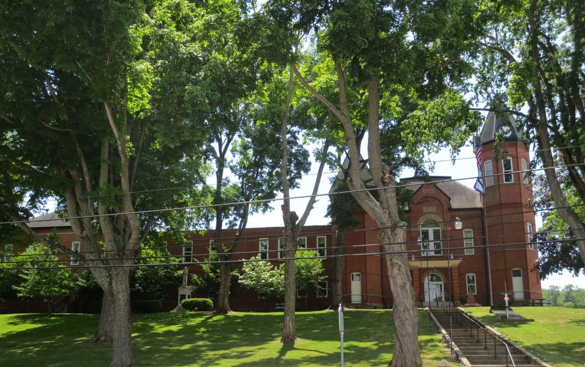
Photo: Wikipedia
Strategic Assessment of Putnam County
Meaningful friction. Expect exposure to either population pressure, blast zones, or natural disaster risk. Consider buying a retreat property.
What does the Strategic Assessment tell us?
Our Strategic Assessment grades tactical survivability of an area. Major population centers, military targets, fallout zones, natural disasters, and border exposure all drive risk — lower exposure means a more defensible position in a crisis.
This is heavily inspired by Joel Skousen's Strategic Relocation book. Highly recommended you checkout the book ($)What does this tell us?
Our Strategic Assessment grades tactical survivability of an area. Major population centers, military targets, fallout zones, natural disasters, and border exposure all drive risk — lower exposure means a more defensible position in a crisis.
This is heavily inspired by Joel Skousen's Strategic Relocation book. Highly recommended you checkout the book ($)Strategic Pillars

Key Distances
Strategic Assessment Analysis
Putnam County, West Virginia, offers a compelling mix of strategic depth and practical resilience for relocators prioritizing disaster readiness and self-sufficiency. Its position along the Kanawha River, combined with a low population density and distance from major metropolitan targets, provides a baseline of security that is rare in the eastern United States. The county’s economy is anchored by a mix of chemical manufacturing, logistics, and small-scale agriculture, giving it a functional, non-reliant character that appeals to those who value preparedness over convenience.
Geographic position and natural advantages for self-sufficiency
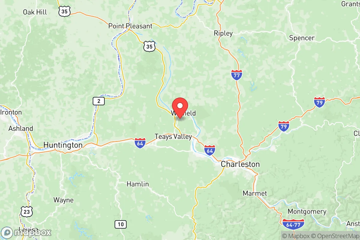
Putnam County sits in the Kanawha River Valley, roughly 30 miles northwest of Charleston and 40 miles southeast of Huntington. This places it in a sweet spot: close enough to access regional medical centers and supply chains, yet far enough from the urban cores to avoid the worst of a potential evacuation or fallout scenario. The county’s terrain is a mix of rolling hills, forested ridges, and river bottomlands, which provides natural cover and defensible positions. The Kanawha River itself is a major navigable waterway, offering both a transportation corridor and a reliable water source for those with filtration systems. The area’s karst topography—limestone bedrock with caves and springs—adds another layer of resilience, as underground water sources and natural shelters are more common here than in the flatter, more exposed regions of the Midwest. For a relocator, the key advantage is that Putnam County is not a primary target: it lacks the high-value infrastructure of a major city, a major military base, or a critical port. The nearest military installation of note is the West Virginia Air National Guard’s 130th Airlift Wing at Yeager Airport in Charleston, but that is a relatively small facility. The closest major fallout-relevant landmark is the Dow Chemical facility in South Charleston, about 25 miles southeast, and the Mountaineer Gas Company storage fields near Sissonville, roughly 20 miles east. These are not primary nuclear targets, but they are industrial sites that could be secondary risks in a broader conflict. Overall, the county’s geography favors dispersal and concealment over concentration and exposure.
Risks, exposures, and proximity to fallout-relevant landmarks
While Putnam County is not a high-priority target, it is not immune to risk. The most significant man-made hazard is the chemical and industrial corridor along the Kanawha River, which includes the aforementioned Dow facility, as well as the Kraton Polymers plant in Belpre, Ohio (just across the river, about 15 miles northwest of Putnam County) and the Marathon Petroleum refinery in Catlettsburg, Kentucky (roughly 50 miles southwest). In a major conflict, these sites could be targeted for their role in fuel and chemical production, or they could suffer accidental releases that would affect downwind areas. Putnam County lies generally downwind of these facilities during prevailing westerly winds, which is a consideration for anyone planning a long-term retreat. Natural risks are moderate: the area is in a seismic zone (the New Madrid Seismic Zone is about 300 miles west, but the region experiences occasional minor quakes), and flooding along the Kanawha River is a recurring issue, particularly in low-lying areas like Winfield and Buffalo. The county has experienced several 100-year flood events in the past two decades, so any property purchase should include a flood-zone check. Tornado risk is low compared to the Plains, but not zero—the 2012 derecho and the 2023 tornado in nearby Putnam County (an EF-1 near Poca) serve as reminders. For a relocator, the key takeaway is that the primary risks are industrial accidents and river flooding, not direct military strikes. The county’s distance from major population centers (Pittsburgh is 200 miles northeast, Washington D.C. is 350 miles east) means that fallout from a strike on those cities would be significantly diluted by the time it reached Putnam County, assuming prevailing winds. However, a strike on the Yeager Airport or the Charleston-area chemical plants could produce a more localized hazard zone extending into northern Putnam County.
Practical resilience for a relocator: food, water, energy, and defensibility
For someone serious about self-sufficiency, Putnam County offers a workable baseline. Water is abundant: the Kanawha River is a year-round source, and many rural properties have private wells tapping into the limestone aquifer. Surface water from creeks and springs is also common, though testing for industrial runoff (especially near the river) is advisable. The county’s average annual rainfall of about 42 inches supports rain catchment systems, and the growing season (roughly April to October) is long enough for a substantial garden. Food production is feasible: the county has a number of small farms, and the Putnam Farmers Market in Winfield is a hub for local produce, meat, and eggs. For a relocator, the ability to buy land with existing agricultural infrastructure (fencing, barns, orchard trees) is a plus. The county’s soil is generally clay-loam, which is workable but requires amendment for high-yield gardening. Energy resilience is mixed: the grid is served by Appalachian Power (a subsidiary of American Electric Power), which is reliable but not immune to outages from storms or ice. Solar potential is moderate—the area gets about 4.5 peak sun hours per day, which is enough for a well-designed off-grid system but not ideal for winter months. Wood heating is common, and the county’s forests (mostly mixed hardwoods) provide ample fuel. Defensibility is a strong point: the hilly terrain and winding roads make the area naturally difficult to approach or surveil. Many properties are set back from main roads, with long driveways and tree cover. The county’s population density is about 110 people per square mile, which is low enough to avoid the crowding and resource competition of suburban areas but high enough to maintain a sense of community. The town of Hurricane (population ~6,500) and Teays Valley (an unincorporated area with a population of ~13,000) are the main population centers, but most of the county remains rural. For a relocator, the practical question is whether you can secure a property with a reliable water source, good solar exposure, and defensible access—and in Putnam County, that is achievable with careful land selection.
The overall strategic picture for Putnam County is one of moderate resilience with specific trade-offs. It is not a remote wilderness retreat—it is a working-class river valley with industrial neighbors and a history of flooding. But for a relocator who wants to be within a few hours of major medical care (Charleston Area Medical Center is 30 minutes away) and supply chains, while still having the space and resources for a self-sufficient lifestyle, it is a strong candidate. The county’s biggest vulnerability is its position in the Kanawha River chemical corridor, which requires awareness and planning (e.g., having a HEPA-filtered shelter, knowing evacuation routes away from the river). Its biggest strengths are its water abundance, defensible terrain, and low target profile. For a family or individual who is serious about preparedness but not interested in living off-grid in the deep wilderness, Putnam County offers a balanced, actionable option.

* Values derived from national, state, county, city and local statistics and may differ in a specific area. Last updated: 2026-07-26T05:07:27.000Z
Narrative content on this page is AI-generated and may contain mistakes. Verify any details that matter before acting on them.
ReloMaps may earn a commission from affiliate links at no extra cost to you.

