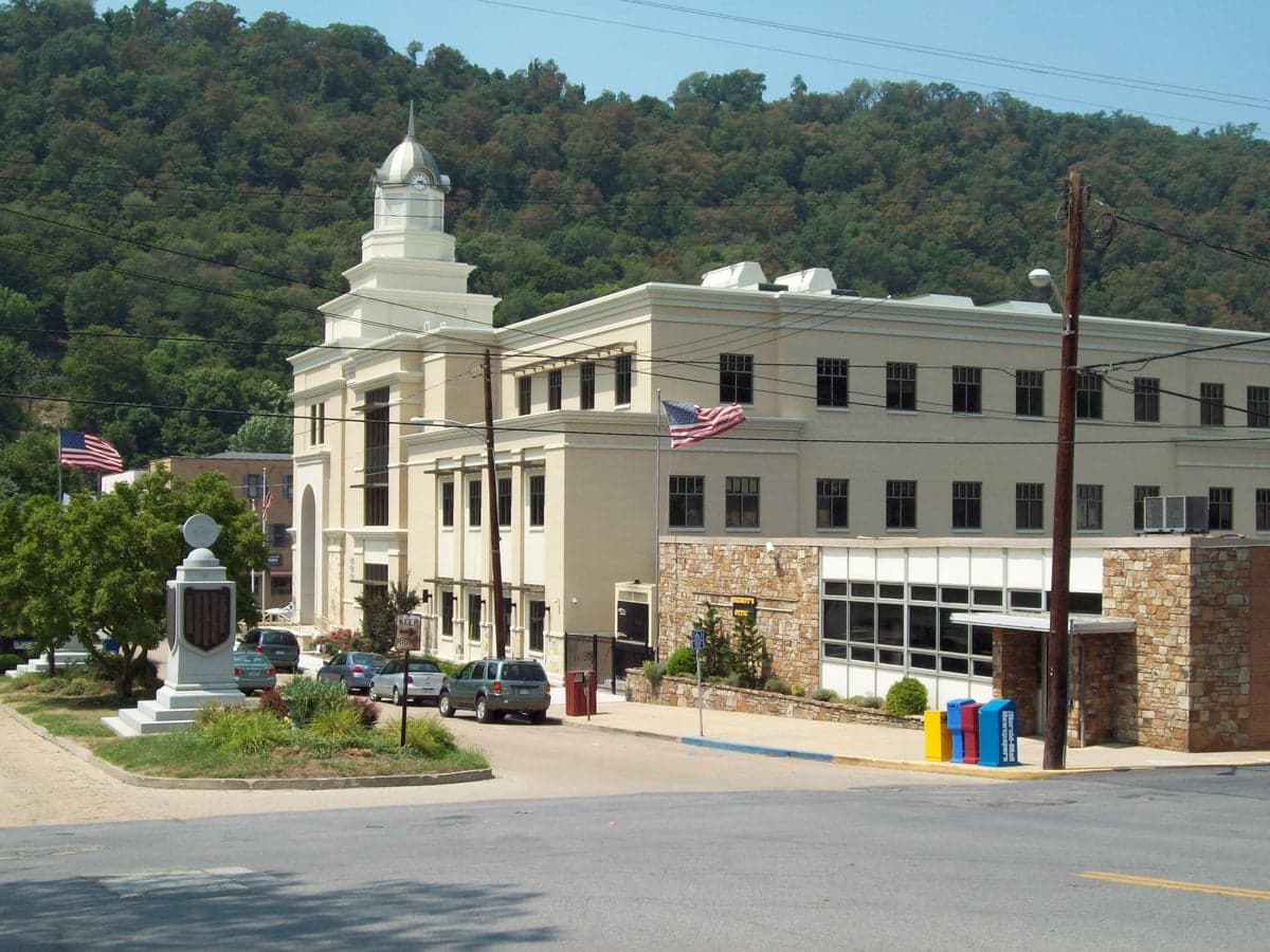
Photo: Wikipedia
Strategic Assessment of Morgan County
Workable tactical position. Some exposure to population density or targets, but generally defensible in a crisis.
What does the Strategic Assessment tell us?
Our Strategic Assessment grades tactical survivability of an area. Major population centers, military targets, fallout zones, natural disasters, and border exposure all drive risk — lower exposure means a more defensible position in a crisis.
This is heavily inspired by Joel Skousen's Strategic Relocation book. Highly recommended you checkout the book ($)What does this tell us?
Our Strategic Assessment grades tactical survivability of an area. Major population centers, military targets, fallout zones, natural disasters, and border exposure all drive risk — lower exposure means a more defensible position in a crisis.
This is heavily inspired by Joel Skousen's Strategic Relocation book. Highly recommended you checkout the book ($)Strategic Pillars

Key Distances
Strategic Assessment Analysis
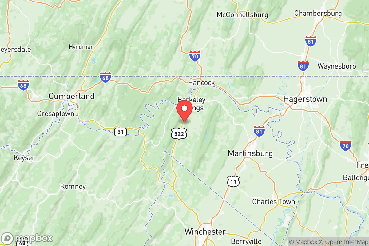
Morgan County, West Virginia, offers a compelling strategic profile for relocation-minded individuals and families who prioritize resilience, self-sufficiency, and a deliberate distance from major metropolitan vulnerabilities. Its position in the state’s Eastern Panhandle, roughly 90 miles from Washington, D.C., and 70 miles from Baltimore, provides a meaningful buffer from the immediate fallout and cascading risks associated with those high-density population and government centers, while still allowing for periodic access to their resources. The county’s rugged terrain, low population density of roughly 18 people per square mile, and limited industrial footprint create a baseline of natural security that is increasingly rare along the Eastern Seaboard.
Geographic position and natural advantages for long-term security
Morgan County sits in a transitional zone between the Ridge-and-Valley Appalachians and the Blue Ridge Mountains, a geography that inherently limits large-scale development and provides natural defensibility. The county seat, Berkeley Springs, is a historic town of roughly 600 residents, while the broader county population hovers around 18,000. This low density means fewer targets for systemic disruption and a greater likelihood of community-scale cooperation during emergencies. The area is drained by the Potomac River and its tributaries, including the Cacapon River, which runs through the county’s western side. These waterways offer a reliable freshwater source, though they are not immune to contamination from upstream agricultural runoff or potential industrial accidents in the broader Potomac watershed. The county’s elevation, ranging from roughly 400 to over 2,000 feet, provides natural vantage points and reduces the risk of flooding in most inhabited areas, though low-lying zones near the Potomac in places like Paw Paw can experience periodic inundation. The surrounding forests—predominantly mixed hardwoods—offer a substantial resource base for timber, fuel, and game, with the 23,000-acre Cacapon Resort State Park and the adjacent Sleepy Creek Wildlife Management Area providing de facto buffer zones against encroachment.
Risks, exposures, and proximity to fallout-relevant landmarks
While Morgan County’s distance from major cities is a net positive for resilience, it is not entirely insulated from man-made risks. The county lies roughly 60 miles northwest of the Washington, D.C. metro area, a primary target for any large-scale conflict or terrorist event. The prevailing wind patterns in this region are generally west-to-east, meaning that fallout from a strike on D.C. would likely be carried away from Morgan County, but this is not a guarantee and depends on specific weather conditions. More proximate concerns include the Fort Detrick biological research facility in Frederick, Maryland, located about 35 miles southeast, and the Three Mile Island nuclear plant in Pennsylvania, roughly 80 miles northeast. While neither poses a direct daily threat, a catastrophic event at either could affect the region. The county also sits within the broader Baltimore-Washington corridor’s transportation network, with major rail lines and Interstate 70 passing through nearby Washington County, Maryland. A disruption to those arteries—whether from natural disaster or attack—could strain supply chains into Morgan County. Natural risks are comparatively low: the area experiences occasional severe thunderstorms, minor flooding, and the rare tornado, but it is not in a hurricane zone, earthquake fault zone, or wildfire-prone region. The primary natural hazard is winter weather, which can isolate parts of the county for days due to hilly, winding roads.
Practical resilience for a relocator: food, water, energy, and defensibility
For a relocator serious about self-sufficiency, Morgan County offers a mixed but generally favorable picture. Water availability is strong: the Cacapon River and Potomac River systems, combined with numerous springs and groundwater wells, provide ample supply. Berkeley Springs is named for its natural mineral springs, and many rural properties have access to private wells. However, well water should be tested for common contaminants like iron, manganese, and bacteria, and a backup hand pump or generator-powered pump is advisable. Food production potential is high: the county has a long agricultural history, with fertile limestone-based soils in the valleys and a growing season of roughly 160 days. Small-scale farming, orchards, and livestock operations are common, and the local farmers’ market in Berkeley Springs supports a network of growers. The county’s deer population is robust, and wild turkey, squirrel, and rabbit are plentiful for hunting. Energy resilience is a weak point: the county is served primarily by FirstEnergy/Potomac Edison, and the grid is vulnerable to storm-related outages. Solar potential is moderate—the region receives about 200 sunny days per year—but tree cover on many properties limits rooftop solar viability without clearing. Wood heating is the most practical backup, given the forested landscape, and many homes already have wood stoves or fireplaces. Defensibility is a standout feature: the county’s terrain—steep ridges, narrow valleys, and limited road access—creates natural choke points. The main routes into the county are U.S. Route 522 and West Virginia Route 9, both of which can be monitored and, in a worst-case scenario, controlled by a prepared community. The low population density and strong local social fabric, particularly in unincorporated areas like Great Cacapon and Paw Paw, mean that a relocator who integrates well will find neighbors who look out for one another. The county’s lack of a major hospital (the nearest is War Memorial Hospital in Berkeley Springs, a small critical-access facility) is a vulnerability; serious medical emergencies require a 30- to 45-minute drive to Winchester, Virginia, or Hagerstown, Maryland.
The overall strategic picture for Morgan County is one of balanced, moderate resilience with clear trade-offs. It offers genuine geographic advantages—distance from primary targets, abundant water, productive land, and defensible terrain—that make it a strong candidate for a family or individual seeking a prepared lifestyle without complete isolation. The key weaknesses are grid dependency, limited medical infrastructure, and the reality that it sits within a 90-minute drive of a primary national target. For a relocator willing to invest in off-grid energy, water storage, and community integration, Morgan County provides a solid foundation. It is not a bug-out location for a short-term crisis; it is a place to build a long-term, self-reliant life in a region that, while not immune to the risks of the 21st century, is far better positioned than most of the Eastern Seaboard.

* Values derived from national, state, county, city and local statistics and may differ in a specific area. Last updated: 2026-11-19T06:53:59.000Z
Narrative content on this page is AI-generated and may contain mistakes. Verify any details that matter before acting on them.
ReloMaps may earn a commission from affiliate links at no extra cost to you.

