
Photo: Wikipedia
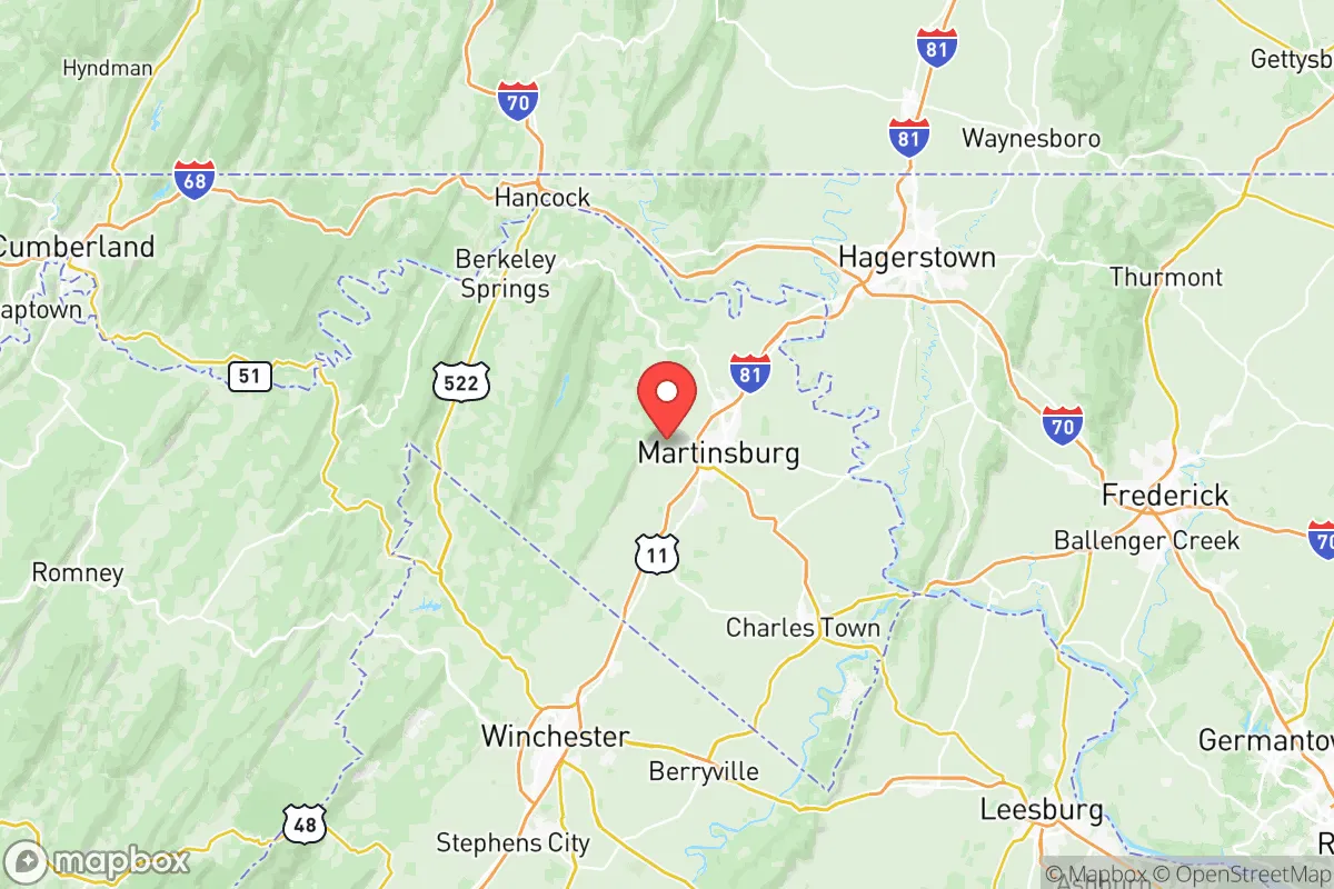
Strategic Assessment of Berkeley County
Meaningful friction. Expect exposure to either population pressure, blast zones, or natural disaster risk. Consider buying a retreat property.
What does the Strategic Assessment tell us?
Our Strategic Assessment grades tactical survivability of an area. Major population centers, military targets, fallout zones, natural disasters, and border exposure all drive risk — lower exposure means a more defensible position in a crisis.
This is heavily inspired by Joel Skousen's Strategic Relocation book. Highly recommended you checkout the book ($)What does this tell us?
Our Strategic Assessment grades tactical survivability of an area. Major population centers, military targets, fallout zones, natural disasters, and border exposure all drive risk — lower exposure means a more defensible position in a crisis.
This is heavily inspired by Joel Skousen's Strategic Relocation book. Highly recommended you checkout the book ($)Strategic Pillars

Key Distances
Strategic Assessment Analysis
Berkeley County, West Virginia, sits in a strategic sweet spot that few relocators fully appreciate until they map out the concentric rings of risk around the Eastern Seaboard. You’re far enough from D.C. to avoid the blast radius of a major event—roughly 75 miles northwest—but close enough to tap into supply lines and medical infrastructure if things hold together. The county’s population of about 130,000 gives it enough critical mass to sustain local services without the chaos of a metro hub. For a conservative-leaning prepper or family looking to hedge against civic unrest, mass casualty events, or supply-chain collapse, this area offers a rare combination of geographic insulation and practical livability.
Geographic position and natural advantages for long-term security
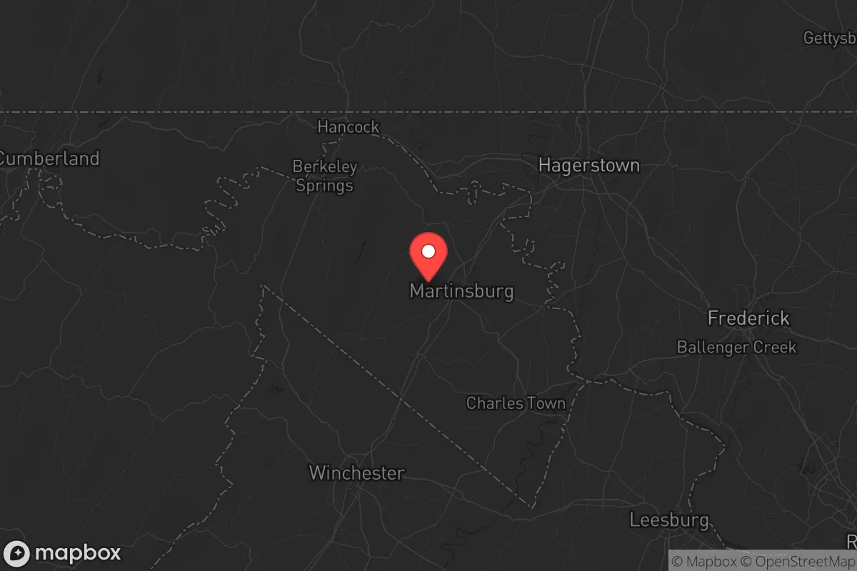
Berkeley County anchors the Eastern Panhandle, a wedge of West Virginia that juts between Maryland and Virginia. The terrain here is rolling hills and limestone valleys, not the steep ridges of the state’s coal country, which means arable land is plentiful and water tables are high. The Potomac River forms the county’s northern border, and the Opequon Creek cuts through the center, giving you surface water options that don’t require deep drilling. Martinsburg, the county seat, sits at the intersection of I-81 and I-70, a logistical node that keeps you connected to the Midwest without forcing you through the D.C. beltway. The natural chokepoints—the Potomac crossings at Shepherdstown and the gaps in the Blue Ridge to the east—mean that any large-scale movement from the coast would have to funnel through predictable corridors, which is a defensibility advantage if you’re thinking in those terms. The climate is temperate four-season, with no hurricane storm surge risk and minimal tornado activity compared to the Plains. Winter storms can drop a foot of snow, but power outages are typically measured in hours, not days.
Risks, exposures, and proximity to fallout-relevant landmarks
No location is a fortress, and Berkeley County has its share of exposure. The most obvious risk is proximity to the Washington D.C. metropolitan area, which includes the Pentagon, Capitol Hill, and a dense concentration of federal agencies that would be primary targets in any coordinated attack. A ground-level nuclear detonation at the National Mall would put Berkeley County outside the lethal blast radius but inside the zone of radioactive fallout depending on wind direction—prevailing winds from the southwest would carry debris toward the Atlantic, but a shift could push it up the Potomac Valley. The county also sits within 50 miles of the Fort Detrick biodefense lab in Frederick, Maryland, a facility that has been the subject of security debates for decades. On the industrial side, the Mount Storm Power Station (a coal plant about 40 miles west) and the Three Mile Island nuclear plant (roughly 100 miles northeast, in Pennsylvania) are distant enough to be low-concern for direct fallout, but they’re worth noting for any relocator mapping worst-case scenarios. The I-81 corridor itself is a vulnerability: it carries heavy truck traffic, including hazmat shipments, and a major accident or intentional disruption could cut off supply routes for days. The county’s emergency services are volunteer-heavy, which means response times in rural areas can stretch to 20 minutes or more.
Practical resilience for a relocator: food, water, energy, and defensibility
For a family or individual serious about self-sufficiency, Berkeley County delivers on the basics. Groundwater is accessible and generally clean—the karst limestone geology means wells are common, and the county health department tests for coliform and nitrates as a standard service. The growing season runs from April to October, long enough for corn, beans, squash, and cold-hardy greens, and the soil in the Opequon Creek valley is deep loam that doesn’t require heavy amendment. Farmers’ markets operate year-round in Martinsburg and Shepherdstown, and the Berkeley County Farmers Market is a reliable source for bulk grains, honey, and livestock feed if you’re building stores. Energy resilience is mixed: the grid is served by FirstEnergy, which has a middling reliability record, but solar potential is good (roughly 4.5 peak sun hours per day), and the county’s zoning code does not prohibit residential solar panels or backup generators. Defensibility is where the area shines. The rural northern and western parts of the county—around Hedgesville, Gerrardstown, and the Sleepy Creek Wildlife Management Area—offer parcels with natural tree cover, ridge-line vantage points, and limited road access. A property with a single gravel drive off a county road is hard to approach unnoticed. The local gun culture is strong but not aggressive; the Berkeley County Sheriff’s Office is known for being responsive to property crime but not overbearing. The biggest practical gap is medical: the WVU Medicine Berkeley Medical Center in Martinsburg is a 200-bed facility with a Level III trauma center, adequate for routine emergencies but not for mass-casualty events. For serious trauma, you’re looking at a 90-minute medevac to D.C. or Baltimore.
The overall strategic picture for Berkeley County is one of calculated trade-offs. You gain geographic insulation, water abundance, and a defensible terrain that’s hard to find within a two-hour drive of the East Coast’s power centers. You accept a measurable risk from fallout drift and proximity to high-value targets in the D.C. metro area. For a conservative relocator who wants to be close enough to maintain professional ties or access urban resources but far enough to have a real retreat option, this county hits a balance that few others do. The key is to buy land west of I-81, stock your own water filtration, and build relationships with the local farming community before you need them. Berkeley County won’t save you from a direct hit on the capital, but it will give you a fighting chance at riding out the aftermath with your family intact.
* Values derived from national, state, county, city and local statistics and may differ in a specific area. Last updated: 2026-05-12T14:10:24.000Z
Narrative content on this page is AI-generated and may contain mistakes. Verify any details that matter before acting on them.
ReloMaps may earn a commission from affiliate links at no extra cost to you.