Strategic Assessment of Waterford Township, MI
Meaningful friction. Expect exposure to either population pressure, blast zones, or natural disaster risk. Consider buying a retreat property.
What does the Strategic Assessment tell us?
Our Strategic Assessment grades tactical survivability of an area. Major population centers, military targets, fallout zones, natural disasters, and border exposure all drive risk — lower exposure means a more defensible position in a crisis.
This is heavily inspired by Joel Skousen's Strategic Relocation book. Highly recommended you checkout the book ($)What does this tell us?
Our Strategic Assessment grades tactical survivability of an area. Major population centers, military targets, fallout zones, natural disasters, and border exposure all drive risk — lower exposure means a more defensible position in a crisis.
This is heavily inspired by Joel Skousen's Strategic Relocation book. Highly recommended you checkout the book ($)Strategic Pillars

Key Distances
Regional Safe Places
Below is our recommended "safe zones" in Michigan and the surrounding area based on our strategic heuristics. For most people, it's unrealistic to live in a “safe zone” full-time due to work, family or other personal reasons. They tend to be more rural. However, many of these areas are perfect for second homes and retreat properties that double as a vacation home or even a short-term rental.


Important Note: For informational purposes only. This does not mean nothing bad ever happens in the green zones. Please use common sense. This is based on public data and modeled with AI. We tried to take a conservative approach but mistakes happen. We update this regularly as new information becomes available.
Solar Generator Recommendations
Backup power matters more here than in safer locations. We've picked three solar generators across budgets and capacity tiers — start with the budget unit if you only need a few essentials, or step up if you want to run a fridge and HVAC for days at a time.

Jackery Portable Power Station Explorer 300
Budget OptionPower on the Go: Weighing only 11 lbs, it's convenient to set up and store with book-sized foldable solar panels

BLUETTI Portable Power Station AC180
Designed for both indoor and outdoor scenarios, AC180 is highly capable as it has a robost capacity and continuous output power.

EF ECOFLOW DELTA Pro Ultra Power Station
Upgraded PickEcoFlow DELTA Pro Ultra is a whole-home energy system designed to grow with your family. Integrated with the Smart Home Panel 2, it scales to meet your evolving energy needs — keeping your home powered, intelligent, and secure through every stage of life.
We earn a commission, at no additional cost to you.
Strategic Assessment Analysis
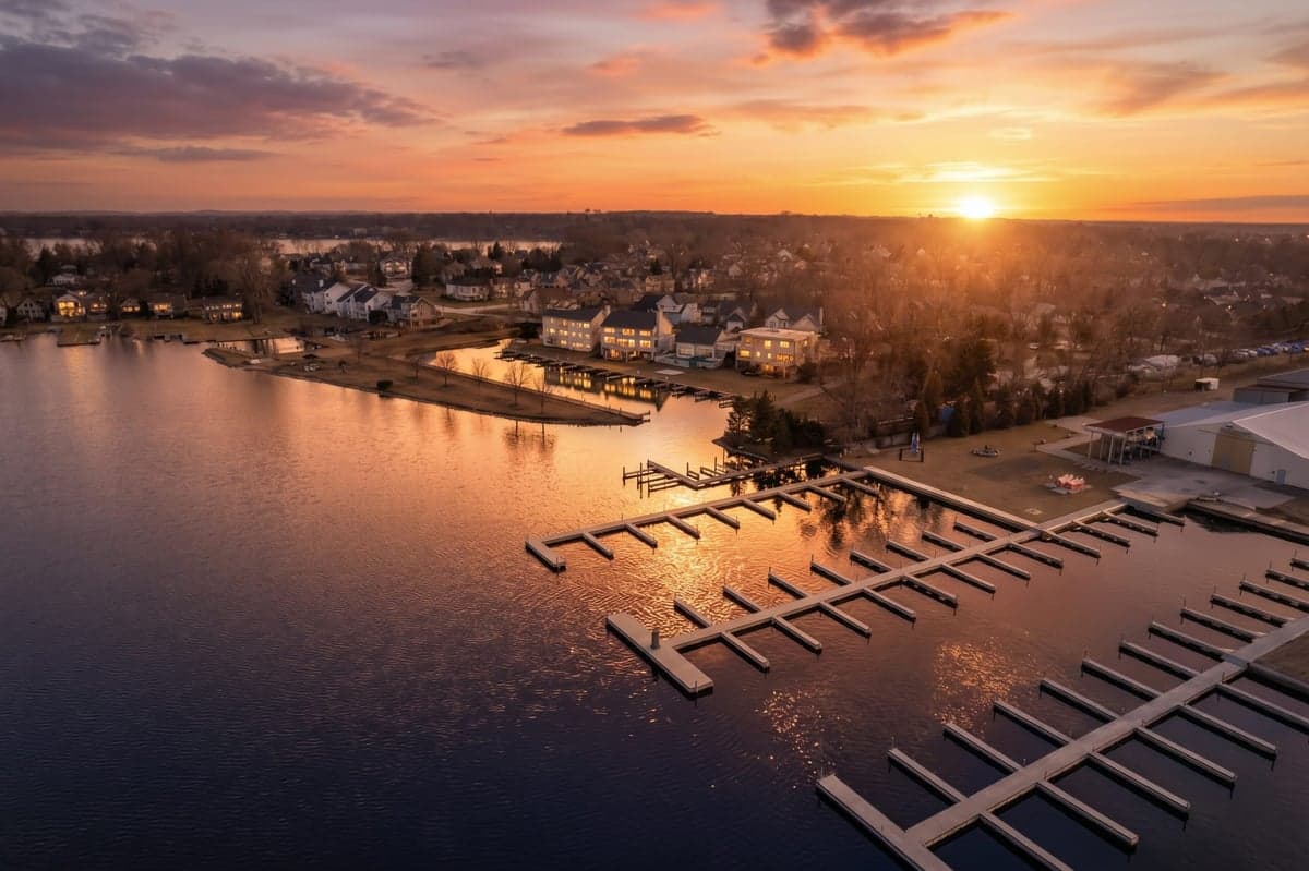
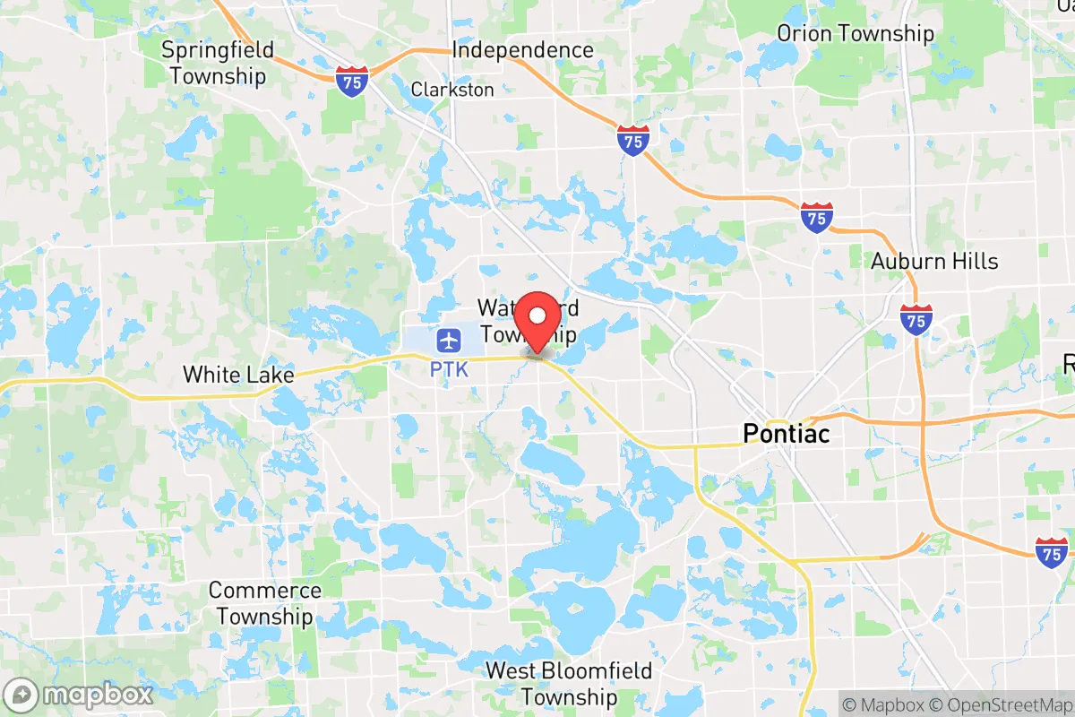
Waterford Township, Michigan, offers a strategic balance of proximity to major infrastructure and a semi-rural buffer that appeals to relocation-minded individuals and families prioritizing resilience. Located in Oakland County roughly 30 miles northwest of Detroit, the township sits at the intersection of M-59 and I-75, providing access to urban resources while maintaining a distinct separation from the highest-density population centers and their associated vulnerabilities. The area’s network of lakes—including Cass Lake, Lotus Lake, and Maceday Lake—combined with its position in the Great Lakes watershed, gives it a natural advantage in water security that few suburban communities can match.
Geographic position and natural advantages for self-sufficiency
Waterford’s geography is defined by its abundance of surface water and its location within the Huron River watershed, which feeds into Lake St. Clair and the Great Lakes system. The township contains over 30 named lakes and numerous smaller ponds, making it one of the most water-rich municipalities in southeastern Michigan. For a relocator thinking about long-term water access, this is a significant asset: private wells are common in the more rural northern and western parts of the township, and even developed areas have access to groundwater that is generally reliable and of good quality. The surrounding terrain is gently rolling, with elevations ranging from 900 to 1,000 feet above sea level, offering natural drainage and reducing flood risk compared to low-lying areas near the Detroit River. The region’s clay-loam soils, while not ideal for large-scale agriculture, support small gardens, orchards, and livestock grazing with proper amendment. The township’s position in the continental interior also means it is insulated from hurricane storm surge, tsunami risk, and seismic activity—hazards that plague coastal and fault-zone communities. Winters are cold and snowy, which presents its own challenges for off-grid living, but the consistent seasonal freeze also suppresses many insect-borne diseases and limits the growing season for certain pests.
Risks, exposures, and proximity to fallout-relevant landmarks
The primary risk for Waterford Township is its proximity to Detroit and the industrial corridor along I-75. Detroit is a major population center with significant infrastructure—including the Detroit Metropolitan Airport, the Ambassador Bridge, and the Detroit-Windsor Tunnel—that could become targets or chokepoints during a national security event. Waterford sits roughly 25 miles from the Detroit city limits and about 35 miles from the Detroit Metro Airport, placing it within the potential fallout zone for a conventional or radiological attack on those assets. The township is also within 50 miles of the Fermi 2 nuclear power plant in Newport, Michigan, and the Enrico Fermi Nuclear Generating Station, both located along Lake Erie. While the prevailing winds in southeastern Michigan are from the west and southwest, a release from Fermi would carry contamination toward the Detroit area and potentially into Oakland County depending on weather patterns. Waterford’s location near I-75 and M-59 also means it lies along major evacuation and supply routes, which could become congested or contested during a crisis. On the natural disaster front, the area faces occasional severe thunderstorms, tornado warnings (though direct hits are rare), and winter ice storms that can knock out power for days. The risk of a major earthquake is negligible, and the region has no active volcanoes or tsunami threats. For a relocator weighing these factors, Waterford’s primary exposure is man-made and infrastructure-related, not natural.
Practical resilience for a relocator: food, water, energy, and defensibility
Waterford’s practical resilience is a mixed picture that rewards careful planning. Water security is the township’s strongest card: the abundance of lakes and groundwater means that a well-equipped property can have a reliable, off-grid water source. Rainwater catchment is also viable, with annual precipitation averaging around 32 inches, spread fairly evenly throughout the year. However, surface water from lakes requires filtration and treatment for potable use, and private wells depend on electricity for pumping unless a hand pump or solar-powered system is installed. Food production is feasible but not effortless. The growing season in southeast Michigan runs roughly from May to October, with a last frost date around mid-May and first frost in early October. This allows for a single season of warm-weather crops like tomatoes, peppers, and squash, plus cold-hardy greens and root vegetables. The clay-heavy soil benefits from raised beds or container gardening, and local farmers’ markets and u-pick farms are common in the surrounding area. For long-term food storage, the cold winters provide natural refrigeration for several months of the year. Energy resilience is a weak point unless proactively addressed. The grid in Waterford is served by DTE Energy, which has a mixed reliability record during storms. Outages lasting 24–72 hours are not uncommon after major ice or wind events. Solar potential is moderate—southeastern Michigan receives about 180 sunny days per year, below the national average—but a properly sized solar array with battery storage can cover basic household loads. Wood heating is a practical backup, as firewood is widely available from local suppliers and state-managed forests in northern Oakland County. Defensibility is moderate. Waterford is a suburban township with a mix of single-family homes on lots ranging from a quarter-acre to several acres. The more rural northern sections, near the Holly State Recreation Area and the Oakland County line, offer greater setback from neighbors and more natural cover. The township’s road network is grid-like in the south and more dendritic in the north, which can slow approach but also limits escape routes. The local police department and Oakland County Sheriff’s Office provide law enforcement, but response times in the northern reaches can be 15–20 minutes during normal conditions. For a relocator, the key is to choose a property with a well, a southern exposure for solar, and at least 2–3 acres of land to allow for gardening, livestock, and a buffer from neighbors.
The overall strategic picture for Waterford Township is one of moderate-to-strong baseline resilience with specific vulnerabilities that can be mitigated through property selection and preparation. Its water abundance and separation from Detroit’s core give it a real advantage over closer-in suburbs like Troy or Royal Oak, while its access to I-75 and M-59 provides a lifeline to northern Michigan’s resources and the Upper Peninsula’s relative isolation. The primary downsides are the proximity to Detroit’s target value and the nuclear plants to the south, plus the grid’s vulnerability to winter storms. For a family or individual willing to invest in a well, solar, and a wood stove, Waterford offers a defensible, resource-rich base that is close enough to urban amenities for normal life but far enough to provide a meaningful buffer in a crisis. It is not a remote retreat—it is a suburban strongpoint with good water and moderate land, best suited for those who want to maintain a normal lifestyle while building layered resilience into their daily routines.

* Values derived from national, state, county, city and local statistics and may differ in a specific area. Last updated: 2026-08-17T21:35:02.000Z
Narrative content on this page is AI-generated and may contain mistakes. Verify any details that matter before acting on them.
ReloMaps may earn a commission from affiliate links at no extra cost to you.

